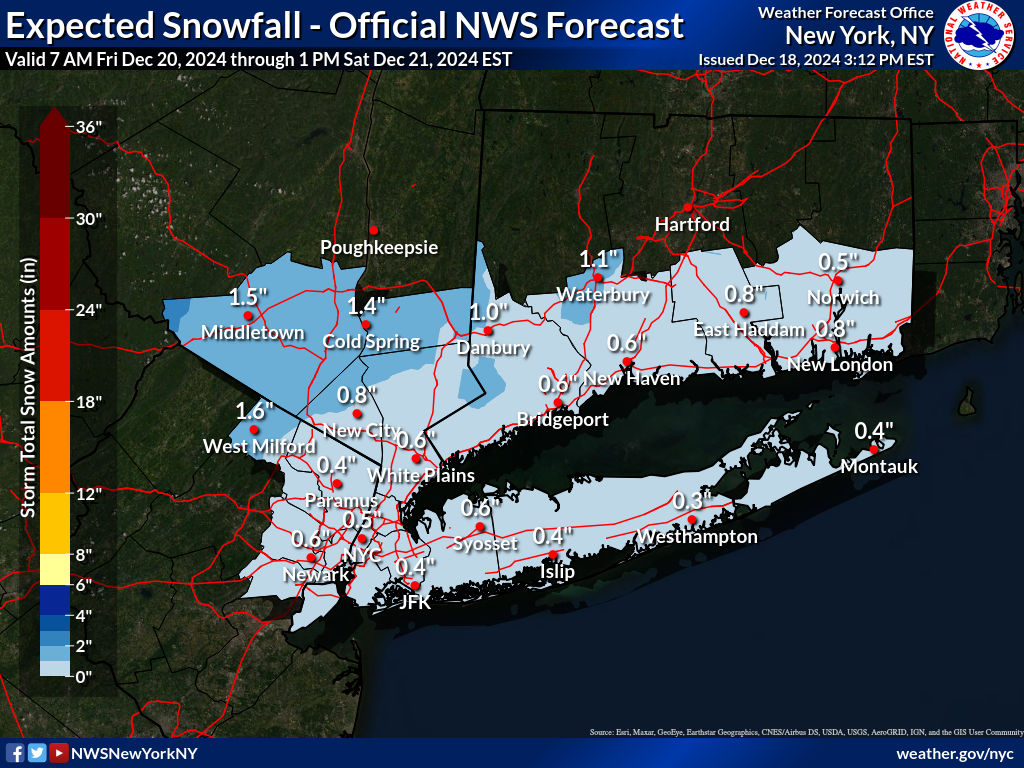
No guarantees on what will happen. Modeling showa a pair of closely following short waves diving southeast toward the mid Atlantic coast, sharpening the mid level trough. While too far offshore for a 4+" event, the 850 MB weak warm advection, 850MB vorticity from s central NYS sewd to NNJ and under running boundary layer northerly flow is going to produce a little bit of snow.
For CP, think it needs to measure after sundown Fri. Outskirts of NYC from NNJ-se NYS-sw CT across LI should se
-
-
- 796 replies


