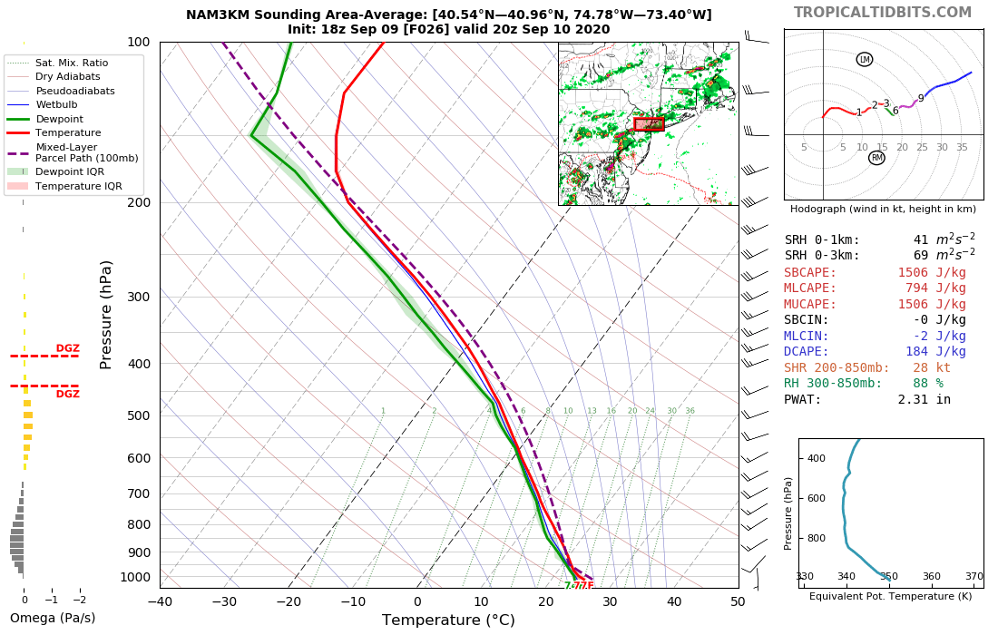
Have attached relatively high 6 hour FFG, plus the first week of Sept departure from normal rainfall, and the ~Aug 30 NAEFS 52 member D8-14 pattern that suggested near or above normal rainfall along the east coast for week two of Sept, that was posted on p2 of the Sept thread... with a cooler pattern nations midsection abutting a warmer than normal western Atlc temperature pattern.
Now we're in the shorter term and modeling consensus has increased the front end of the probable two part R+ e

