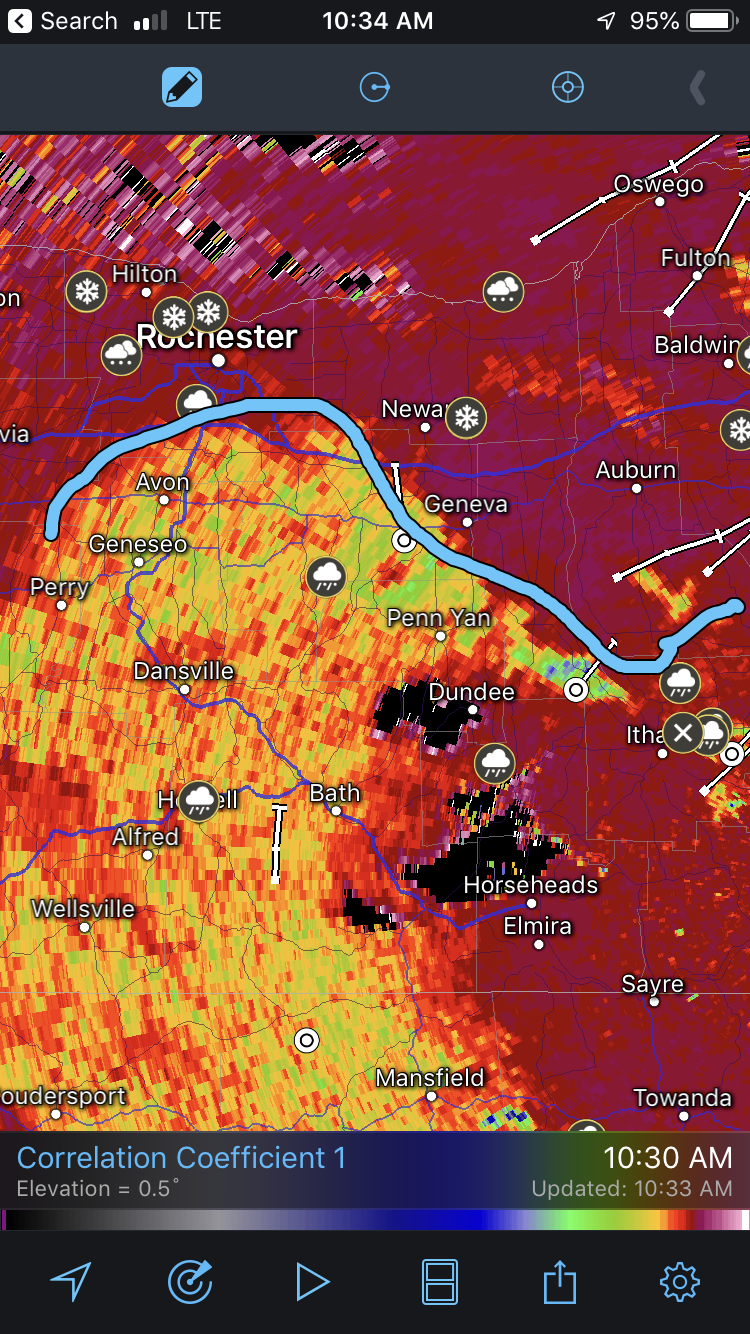
So it looks like we will start off December with a decent snowstorm for the central and especially eastern areas of NYS.
Looks like 1-3" across WNY, 3-6" for Rochester, 6-12" for Syracuse.
Following this storm there is an interesting period on Weds where a lake enhanced setup may affect Buffalo and give them a few inches.
On an initial SW flow, lake effect snow is expected to begin near
Buffalo/Watertown Tuesday night. It likely will not be until early
Wednesday that lake


