TellicoWx
-
Posts
2,283 -
Joined
-
Last visited
Content Type
Profiles
Blogs
Forums
American Weather
Media Demo
Store
Gallery
Everything posted by TellicoWx
-
Oak Moon Upslope/ Upper Low Storm Obs
TellicoWx replied to Holston_River_Rambler's topic in Tennessee Valley
Still coming down at a good clip (about 2 miles from town)...Coker Creek area. Couple inches on the ground, roads slushy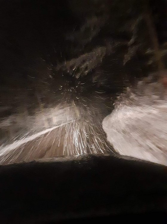
- 300 replies
-
- 4
-

-
- upslope snow
- upper level disturbance
- (and 3 more)
-
Oak Moon Upslope/ Upper Low Storm Obs
TellicoWx replied to Holston_River_Rambler's topic in Tennessee Valley
Picked up .75" on the snow board in town..if you count what melted before sunset..looks like the RGEM did the best IMBY...think it is one of Holstons favorite winter models- 300 replies
-
- 2
-
-
- upslope snow
- upper level disturbance
- (and 3 more)
-
Oak Moon Upslope/ Upper Low Storm Obs
TellicoWx replied to Holston_River_Rambler's topic in Tennessee Valley
Pretty impressed for town (upslope only works out maybe 5% of the time). Good start to the season...maybe, just maybe it will be a good winter. We had what seemed like great teleconnections the last couple years that went exactly opposite. May as well try the opposite lol.- 300 replies
-
- 5
-
-
- upslope snow
- upper level disturbance
- (and 3 more)
-
Oak Moon Upslope/ Upper Low Storm Obs
TellicoWx replied to Holston_River_Rambler's topic in Tennessee Valley
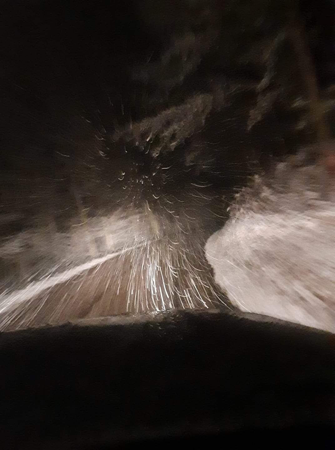
Heavy dusting with everything turning white in downtown Tellico (830')...can only imagine what it looks like at Stratton Meadows (5400') on the Skyway- 300 replies
-
- 1
-
-
- upslope snow
- upper level disturbance
- (and 3 more)
-
Oak Moon Upslope/ Upper Low Storm Obs
TellicoWx replied to Holston_River_Rambler's topic in Tennessee Valley
Cherohala skyway about 2100' from a friend a couple hours ago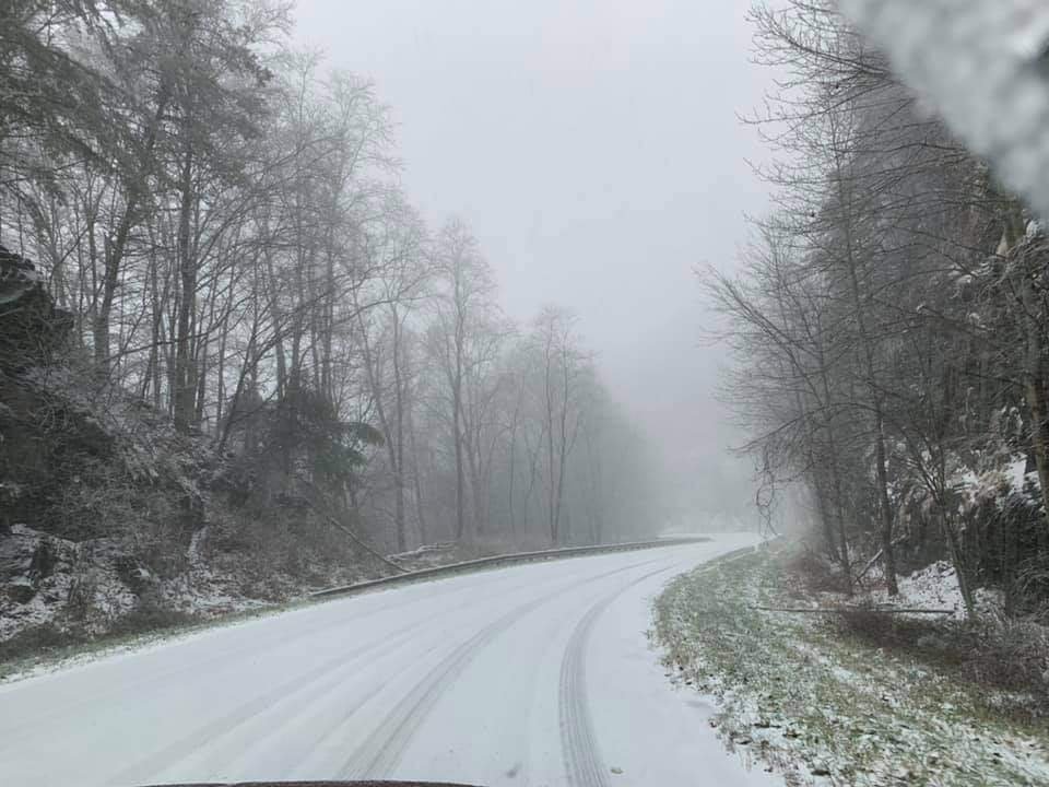
- 300 replies
-
- 5
-
-
- upslope snow
- upper level disturbance
- (and 3 more)
-
Oak Moon Upslope/ Upper Low Storm Obs
TellicoWx replied to Holston_River_Rambler's topic in Tennessee Valley
Starting to get some stickage on patios and grassy areas between Madisonville/Tellico..elev 1100'- 300 replies
-
- 4
-
-
- upslope snow
- upper level disturbance
- (and 3 more)
-
Oak Moon Upslope/ Upper Low Storm Obs
TellicoWx replied to Holston_River_Rambler's topic in Tennessee Valley
Yeah you can go from 870' in town to 5600' in a 17 mile span...I figure it will be hammering up there this evening- 300 replies
-
- 3
-
-
- upslope snow
- upper level disturbance
- (and 3 more)
-
Oak Moon Upslope/ Upper Low Storm Obs
TellicoWx replied to Holston_River_Rambler's topic in Tennessee Valley
Yeah if the valley is going to see a dusting or so, that is the area to watch..6z NAM was keying on that area but backed off on 12z- 300 replies
-
- 3
-
-
- upslope snow
- upper level disturbance
- (and 3 more)
-
Oak Moon Upslope/ Upper Low Storm Obs
TellicoWx replied to Holston_River_Rambler's topic in Tennessee Valley
Yeah, if you are a weather enthusiast, Tellico is an interesting place. You can go from 42 and rain to a blizzard and 25 in 15 mins down the road lol- 300 replies
-
- 1
-
-
- upslope snow
- upper level disturbance
- (and 3 more)
-
Oak Moon Upslope/ Upper Low Storm Obs
TellicoWx replied to Holston_River_Rambler's topic in Tennessee Valley
Mixing at the house 1900' and 35, it's switched over to Graupel in Madisonville (900'). From what I've heard so far, the state line on the Skyway changed over around 5am.- 300 replies
-
- 7
-
-
- upslope snow
- upper level disturbance
- (and 3 more)
-
Oak Moon Upslope/ Upper Low Storm Obs
TellicoWx replied to Holston_River_Rambler's topic in Tennessee Valley
6z 3k NAM seems to be picking up on maybe a little more energy rotating down the backside Holston mentioned earlier...now has the upslope producing in the Great Valley- 300 replies
-
- 2
-
-
- upslope snow
- upper level disturbance
- (and 3 more)
-
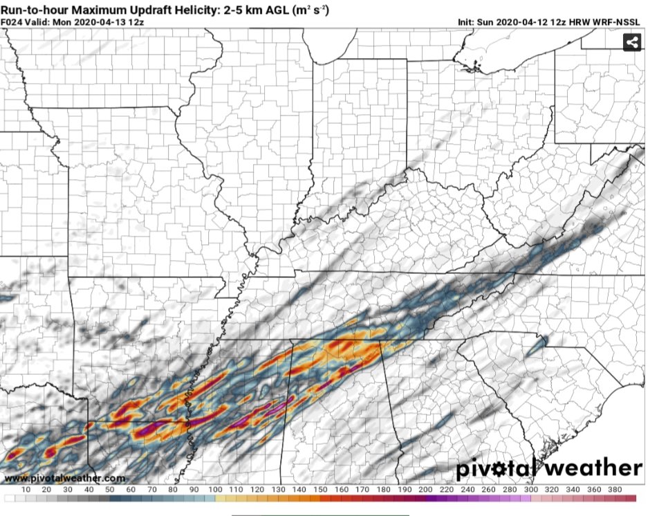
18z HRRR continues increasing the UH up the valley
-
12z UH NSSL, ARW, 3K
-
Def agree with Quincy, guidance is converging more in those areas...may finally be nearing an agreement. Only area with a bigger question mark is the southern valley of TN/NW GA.
-
12z 3k and CAMs looking more like HRRR as far as UH
-
Being the Fire Capt. at the time for a town here in SE TN...the morning convection spawned several touchdowns here on 4/27. It also did little to suppress the evening convection as it moved thru. Spent half the night going house to house doing search and rescue in the middle of the storms.
-
Strong wording in MRX AFD..kinda surprised me considering they are usually leaning conservative: the favorable jet coupling aloft, this event has the potential to pose the most significant tornado threat we have had since April 27, 2011
-
NAM vs the Euro cage match storm, Feb 20 - 21
TellicoWx replied to Holston_River_Rambler's topic in Tennessee Valley
Setup usually doesnt go to well here, noticed last night when DP were hovering around 38-39 while everyone else went into the mid 20s something was up. Plus RGEM never bought in. We have switched back to rain mostly now. -
NAM vs the Euro cage match storm, Feb 20 - 21
TellicoWx replied to Holston_River_Rambler's topic in Tennessee Valley
Congrats to everyone who got the snow to stick, was a hard one to watch here..pouring feathers for about 3hrs but never could stick. -
NAM vs the Euro cage match storm, Feb 20 - 21
TellicoWx replied to Holston_River_Rambler's topic in Tennessee Valley
Looks like the NAM was close of snow amount falling here, but off on surface temp by a degree...no accumlation -
NAM vs the Euro cage match storm, Feb 20 - 21
TellicoWx replied to Holston_River_Rambler's topic in Tennessee Valley
Ground white and edges of side roads starting to whiten in Sweetwater -
NAM vs the Euro cage match storm, Feb 20 - 21
TellicoWx replied to Holston_River_Rambler's topic in Tennessee Valley
Moderate snow in Madisonville now -
NAM vs the Euro cage match storm, Feb 20 - 21
TellicoWx replied to Holston_River_Rambler's topic in Tennessee Valley
Can confirm line has made it south to Sweetwater, pouring snow -
NAM vs the Euro cage match storm, Feb 20 - 21
TellicoWx replied to Holston_River_Rambler's topic in Tennessee Valley
The line of enhancement has sagged to just north of Dayton to Farragut/Lenoir City line...PWS behind/north have showed a 4-5 degree temp drop in last hour or so. -
NAM vs the Euro cage match storm, Feb 20 - 21
TellicoWx replied to Holston_River_Rambler's topic in Tennessee Valley
There's an enhancement feature sagging south slowly down the plateau/valley...along and north of this line temps are crashing to near freezing.