New MRX update:
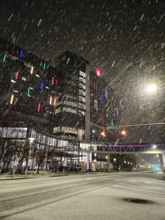
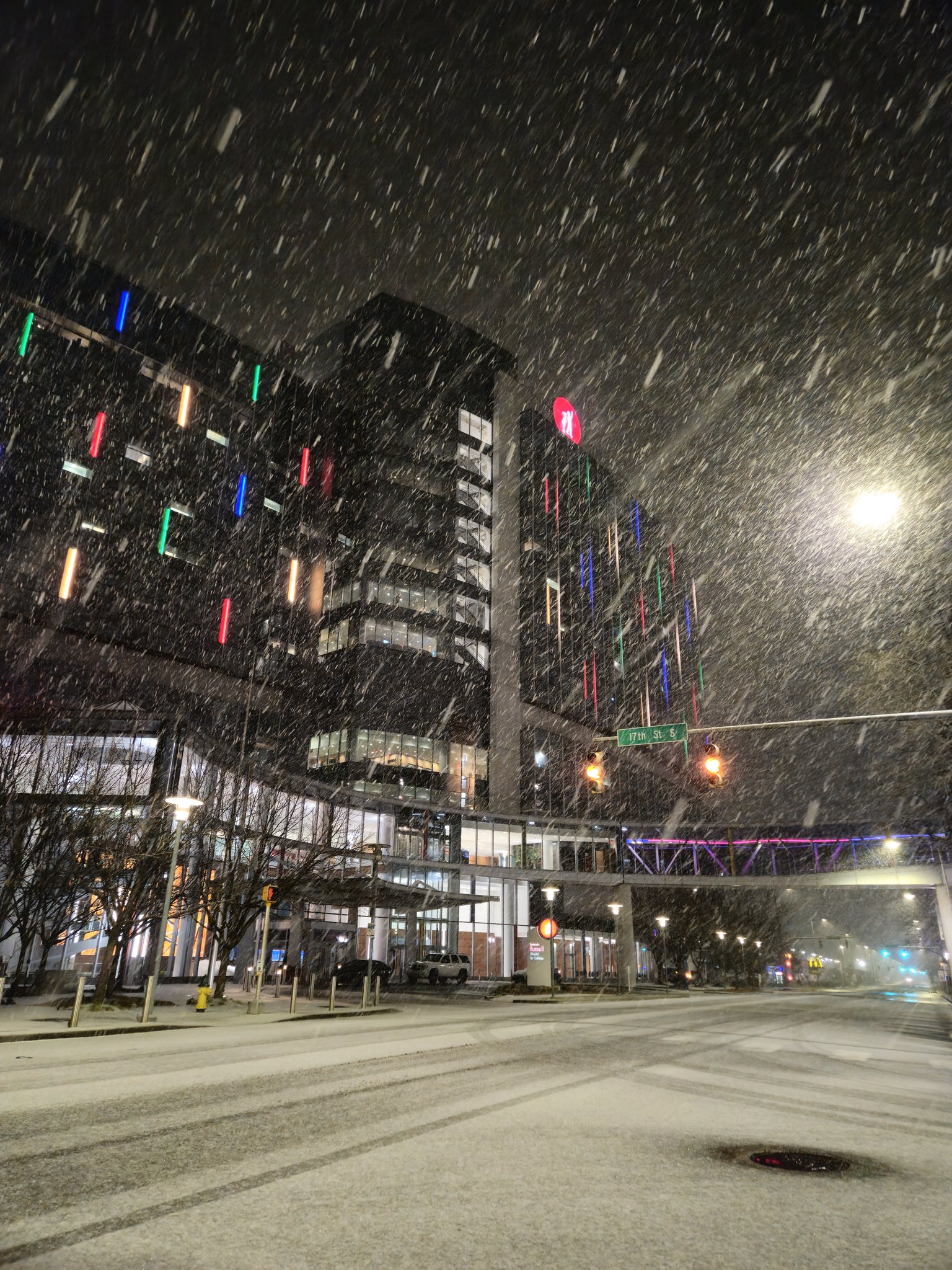
.UPDATE... Issued at 858 PM EST Thu Jan 9 2025 The overnight period will be cold and dry. No significant changes were made to the forecast for tonight during the evening update. && .SHORT TERM... (This evening through Saturday) Issued at 254 PM EST Thu Jan 9 2025 1. A winter storm will impact the area Friday into Saturday with widespread accumulating snow and possible mixed precipitation in southern sections. 2. Winter Storm Warning in effect for the entire area. 3. Certainty is low to moderate on snowfall/mix precipitation amounts, but high confidence in there being widespread impacts. Discussion: Currently sunny skies with still cold temperatures under high pressure and light winds, but you`re not here about today`s weather... So let`s look at tomorrow. Have upgraded the Winter Storm Watch to a Warning for the entire area. Bottom Line: Lower certainty on snowfall amounts with updated models and mixed precipitation possible. MOST IMPORTANTLY is to get the message out that Friday afternoon/evening through Saturday morning travel could be EXTREMELY difficult across parts of the southern Appalachians and maybe impossible on some secondary roads. Model trends: Many of the latest high resolution models have started to ramp up the moisture and therefore the QPF for this event. Previously the consensus was to see generally less than half an inch of liquid equivalent for the event, but increased moisture is leading to a trend of amounts closer to 0.75" with some of the more aggressive models showing closer to 1" across much of the southern Appalachians. A couple of deterministic models are still showing a stout LLJ out of the south which brings in very warm air and lots of QPF which falls as mixed precipitation or rainfall... However these still seem to be the outlier, and overall trend is to keep the heaviest mixed precipitation near and south of the TN state line Friday afternoon through Friday evening. Speaking of... Precipitation Types: This is the lowest confidence portion of this forecast as is typical when 1-2 degrees within the lowest layers of the atmosphere can make a massive difference. With the possibility of increased moisture out of the south this will also bring the double edge sword of warmer temperatures in parts of the atmosphere that could see temps rise above freezing in the PBL. There will definitely be an area of mixed precipitation and freezing rain, likely between Atlanta and maybe as far north as southeast Tennessee. But pinpointing exactly where this transition zone is where the uncertainty comes from. Again, the predominant guidance (both deterministic and probabilistic) keeps all but the southern TN border counties as predominantly snow through the entire event. BUT we cannot rule out mixed precipitation (including freezing rain) moving further north, possibly near Knoxville for a brief window right around 21z-03z. Also elevation will play a major factor in what type of precipitation places get Friday afternoon/evening and even within the same neighborhood expect people to have different winter weather occurring at times. Expect almost everyone to see less than a tenth of an inch of frozen precipitation, but once you get near the Georgia state line we could see amounts at or above 0.10" but likely remaining below 0.25" Snow amounts: Biggest change to the snow amount forecast is to generally increase amounts area-wide as the QPF amounts have trended up. At this time expect to see widespread snowfall totals in the 3-7 inch range BUT there will be some large variability with some places possibly approaching double digit inches if they get under a heavier band or are in higher elevation with higher SLRs and deeper snow. Lowest confidence in the totals is near the southern TN border and along the western foothills of the southern Appalachians. Near the southern TN state border snowfall totals will be impacted by the duration and intensity of any mixed precipitation. Along the southern Appalachian foothills there will be downsloping winds out of the east which will inhibit snow accumulation, but uncertainty on the strength of the winds means it`s difficult to determine how long before accumulating snow begins to pile up. Timing: This is the highest confidence part of the forecast as models have been fairly consistent for multiple days now with snow moving into southeast TN around 12-15z and spreading east/northeastward throughout the day, making it into southwest VA by 18z. Winter precipitation will continue at a steady rate the rest of Friday and into Saturday. Coming to an end for most locations during the overnight hours, and before sunrise on Saturday. With the northwest flow and cloudy skies expected to linger for much of Sunday we`ve included flurries across northeast TN and southwest VA for much of Saturday as this weather pattern has been very effective at squeezing out light flurries in cloudy northwest flow.