

radarman
-
Posts
14,474 -
Joined
-
Last visited
Content Type
Profiles
Blogs
Forums
American Weather
Media Demo
Store
Gallery
Everything posted by radarman
-
Best wx family since EricNH and snowNH
-
Totally agree, midweek this year has been way, way busier than any previous year.
-
Great pics fozz. Must be something in the water up there.
-
Yes it is. It's a little cousin to Magic with substantially less annual snow. But great terrain on the rare times it's fully game on, steep, all sorts of boulders and cliffs, and well spaced trees. And today's softened pack put it all in play, not worried about what may be lurking and fully in control for technical maneuvres in the chutes. Once things freeze up it'll be on hold for a bit, but we've still got a great spring day or two left even if nothing else should fall.
-
Great stuff. Shred
-
Bluebird, get some sun on your face, soak up that vitamin D after a dark few months. Oh wait Fantastic all the same
-
Tip top conditions today. Soft, snowy bumps.
-
I agree it has been frustrating, but fortunately the IA state site has everything backed up... this is all the BOX text products (including PNS) from March 2015 https://mesonet.agron.iastate.edu/wx/afos/list.phtml?source=BOX&year=2015&month=3&day=1&drange=yes&year2=2015&month2=3&day2=31&view=grid&order=asc
-
This was March 7 2015 and we didn't have nearly the snow that E Mass did... good preservation though
-
also... way too soon to say 'one last hurrah'. That's April talk.
-
It should be a really good stretch though. There's a ton of snow. They were making it until about a week and a half ago and some of the huge whales just got groomed out last week. The consistent cold has preserved the pack even if snowfall has been normal. The trails should cruise through March barring a total disaster, and the snow in the woods gets very forgiving even as it starts to dwindle. Unlike an early season pack you can see all the obstacles and feel good about making turns wherever you see snow. I'm pretty excited for a big finish.
-
I know a few of our recent impressive March CAA events had cheap midnight highs and then we were sunny and single digits or low teens during the day.
-
peach trees ftl... the fact that feb has been chilly may mitigate damage. A few years ago one of these March cold shots ruined the crop.
-
-
That's a pretty impressive ULL passage on the GFS on Monday night. N Greens lookout I would think should that come to pass.
-
It means I'm off to load up on supplies
-
this. Folks always in a rush.
-
Berkshire East has recovered nicely from the Tuesday rain event. Skied wonderfully this afternoon, woods especially. Slow drive home though, all snow crossing the river, flipped to rn coming through Amherst at 530.
-
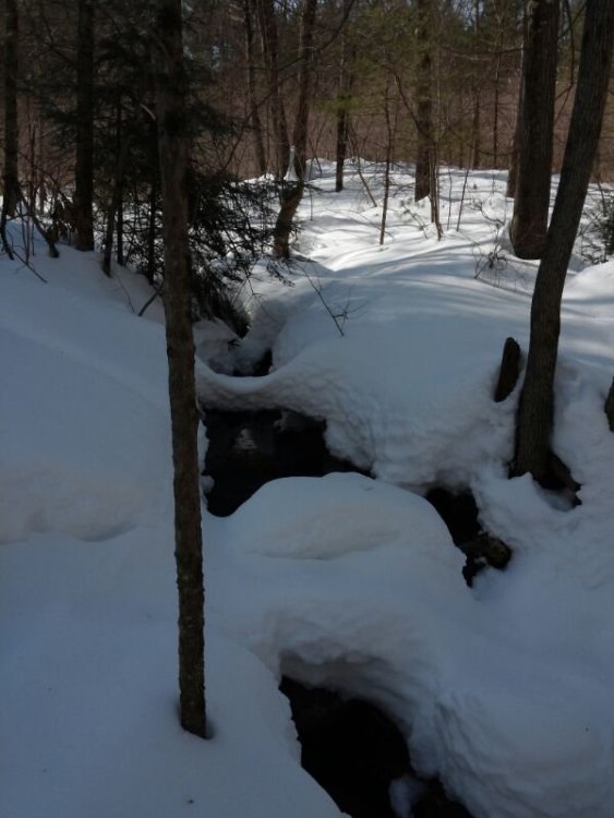
My cousin out there sent this one from Saturday
-
That Bruins game in Tahoe was epic last night
-
They could've just turned off the main breaker if they didn't wanna pay the spot rates.
-
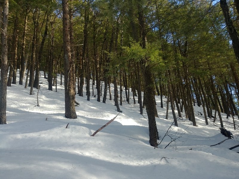
Did a couple skin laps up Mt Lincoln in Pelham this morning... there's not much to it, but always sweet to be outside on a day like this.
-
The diff has been fairly marginal... I'm at 44.25" counting today and you must be fairly close. Also Berkshire east has definitely outperformed us here in several events. We're all probably AOA to date out here with the pack having held up better than it usually does but simultaneously having it feel like a dud at times. I might need to talk to someone lol.
-
2.25"
-
It's all light stuff. Can't really make out any snow falling on the Beast webcams. -sn here


