radarman
-
Posts
14,468 -
Joined
-
Last visited
Content Type
Profiles
Blogs
Forums
American Weather
Media Demo
Store
Gallery
Everything posted by radarman
-
 School canceled going forward
 -
Snowmobilers can probably rally the CT river from Noho straight to Bellows Falls Edit- Might have to cut around Turners
-
Possible coastal storm centered on Feb 1 2026.
radarman replied to Typhoon Tip's topic in New England
Most sites were +3 after 19-20 days. Not usually easy to erase that in the last third of the month but we did with room to spare in most locations. Stacking BN winter mos lately, quite a streak. -
Possible coastal storm centered on Feb 1 2026.
radarman replied to Typhoon Tip's topic in New England
The ground blizzard that followed had us down to bare ground in open spots Some of that was bad luck, but even if this hits, the bandy nature with hills on either side of us in the valley and subby zones in between doesn't bode particularly well. But whatev, even a couple more inches to freshen up this enormous pack would be cool. -
Possible coastal storm centered on Feb 1 2026.
radarman replied to Typhoon Tip's topic in New England
You did well compared to Noho -
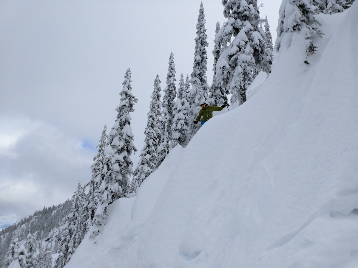
yeah, I've seen it when it's snowy there. Beautiful thing. Pic from RED

-
Possible coastal storm centered on Feb 1 2026.
radarman replied to Typhoon Tip's topic in New England
That's a big hit for any ens at this range I'm not too optimistic out here, but there is an eternity to go and that's a noteworthy signal for sure for those further east -
Rossland BC is awesome- Congrats sir (and we're coming for you )
-
January 2026 regional war/obs/disco thread
radarman replied to Baroclinic Zone's topic in New England
Saw a -15 and a bunch of -12s and -13s in the best radiating spots in S Belchertown/ Ludlow. Sensor caveats apply. But the elevated spots weren't close to that, 0 to maybe a couple degrees below. Not totally fake cold, just kinda fake. -
22" after a big day 2, east side of Belchertown near Quabbin West/south Belchertown got a little more day 1 and but less day 2
-
Can't get over how much fell in part 2 Warning level snows here
-
Awesome Was moderately dense and a little bit surfy today down here, even some -zl at times. But really just what the doctor ordered. Skied well and more importantly skied in well. By the end of the day the natural had a nice packed down base that sets up great for whatever should follow. Rocks, stumps mostly buried hopefully for the winter.
-
Glad these bands are getting everyone east of here. Was poundage. BOX radar sometimes doesn't capture it well this far west. Similarly you'd think it was almost over but ENX suggests there may be a bit more left to the west. May dry up tbd. But at any rate it's still snowing moderately in the meantime even under weaker echoes.
-
Snowing as hard as anytime yesterday and accumulating faster in this band
-
Yep this is super high ratio fluff and accumulating fast. Another band to the west of here as well
-
Steady backbuilding bands and moderate, accumulating snow continues
-
Another inch or two new came out of that. Up to 17", but like you said the 15+" was measured at the end not 6 hourly
-
Definitely less at Berkshire East than my house. Still good obviously.
-
Awesome 12" new here
-
Roughly 5.5"
-
Yeah, CF just pushed into Gloucester
-
Yeah BOX is still up In case anyone is interested, you can play multi-hour loops of BOX and ENX on my little google maps site. Archive goes back years with only a few missing periods. Click the clock icon top left. By default it just shows the last few frames. https://emmy7.casa.umass.edu/umaxx/nexrad.html
-
27.6" for PDII is the official record
-
Not saying that will translate directly but just noting it came in a bit less than what they were expecting down there. If we should get 12:1 with the thump and higher toward the end I won't be complaining.
-
Less than 10:1 ratios in DC for the event, even before the sleet arrives