Boston Bulldog
-
Posts
619 -
Joined
-
Last visited
Content Type
Profiles
Blogs
Forums
American Weather
Media Demo
Store
Gallery
Everything posted by Boston Bulldog
-
Similar numbers here. I think I'm about 2-3 miles to your SW. Rotted at 33 for most of the day and struggled to accumulate outside of the stronger OES pulses
-
Great band blowing up overhead. Dumping fat flakes
-
Still sitting at 32. Anticipating the CF rolls through here soon as Ponky is down to 25 right now
-
It's just puking under this band that's been parking itself over the Blue Hill area. Coastal front enhancement?
-
flurries just transitioned to steady light snow. Nice flake size too 28/21
-

Active mid December with multiple event potential
Boston Bulldog replied to Typhoon Tip's topic in New England
Nope, not required anymore. Tried to get ahead of the game by getting it out of the way early, looks like its just a couple hundred bucks down the drain now. Covid was the final push most schools needed to eliminate it. -
Active mid December with multiple event potential
Boston Bulldog replied to Typhoon Tip's topic in New England
Fitting that my last undergraduate exam before I apply to Atmospheric Science graduate programs is coinciding with this storm. Really hoping I don't lose power as I'm taking it. Had to take the GRE in Worcester during the peak of the big early December storm last year, sensing a trend here! -
December 5-6, 2020 Storm Observations and Nowcast
Boston Bulldog replied to Baroclinic Zone's topic in New England
31.7 with light but steady snow over the last few hours which has actually accumulated much better than during heavier rates seen this morning. Getting some good gusts too, feels very wintery. Knocking on the door of 3.5 inches, hoping some of these bands pivoting in from the NE provide a little boost Getting down to lake level, probably just over an inch and a half, the accumulating burst during late morning didn't make it down there -
Big differences between here (1300ft) and lake level (1100ft). Completely white and starting to stack efficiently here, while down in town its still pretty wet, pretty cool ride up the hill
-
December 5-6, 2020 Storm Observations and Nowcast
Boston Bulldog replied to Baroclinic Zone's topic in New England
34 and moderate snow continues with roughly an inch or so down. Likely won't be able to get into any insane rates, but I think I'll be just east enough to get a good event -
December 5-6, 2020 Storm Observations and Nowcast
Boston Bulldog replied to Baroclinic Zone's topic in New England
35 and moderate snow at 1300ft -
December 5-6, 2020 Storm Observations and Nowcast
Boston Bulldog replied to Baroclinic Zone's topic in New England
39/34 in Sunapee. Not ecstatic about recent trends, but still very much in the game -
Dec 5/6th major coastal/ west Atlantic cyclogenesis ...?
Boston Bulldog replied to Typhoon Tip's topic in New England
Wow, take a wild guess which one is Blue Hill -
Dec 5/6th major coastal/ west Atlantic cyclogenesis ...?
Boston Bulldog replied to Typhoon Tip's topic in New England
Definitely more wiggle room out here with that W tick on the GFS -
Ha, a little too early in the season for any backcountry excursions in the Presidentials for me! Debating between sunday or monday to reserve a day at Loon via IKON, but definitely aware wind hold issues may be prevalent on sunday. Tough choice rn
-
How's the wind in the Whites looking on Sunday after this storm pulls away?
-
Dec 5/6th major coastal/ west Atlantic cyclogenesis ...?
Boston Bulldog replied to Typhoon Tip's topic in New England
Loving that GFS look. If the 12Z NAM is proven to be an outlier, heading up to 1300ft in Sunapee NH next question -
Yeah I'm leaning Loon, very glad I made the decision to purchase an Ikon pass. Getting information on opening day, snowmaking progress, snow reports etc... from Vail mountains this year has been like trying to hack into the CIA. All mountain websites (outside of Stowe of course) say "commentary coming soon" wtf! Even out west, open mountains like Crested Butte have the exact same message.
-
How does wind in the Whites look in the wake of this upcoming storm? Anything significant enough to threaten lift closures on Sunday?
-
NAM doing NAM things. Would be an understatement to say it's wise to short that solution. Howeva, might have to plan an escape up to Sunapee this weekend
-
Wow, NHC goes with 150mph, 934mb for the 7pm advisory
-
No, Invests start at 90L and go to 99L. The list is then reset back to 90L after 99
-
starting to stack up nicely in canton, even a little sticking on side streets now!
-
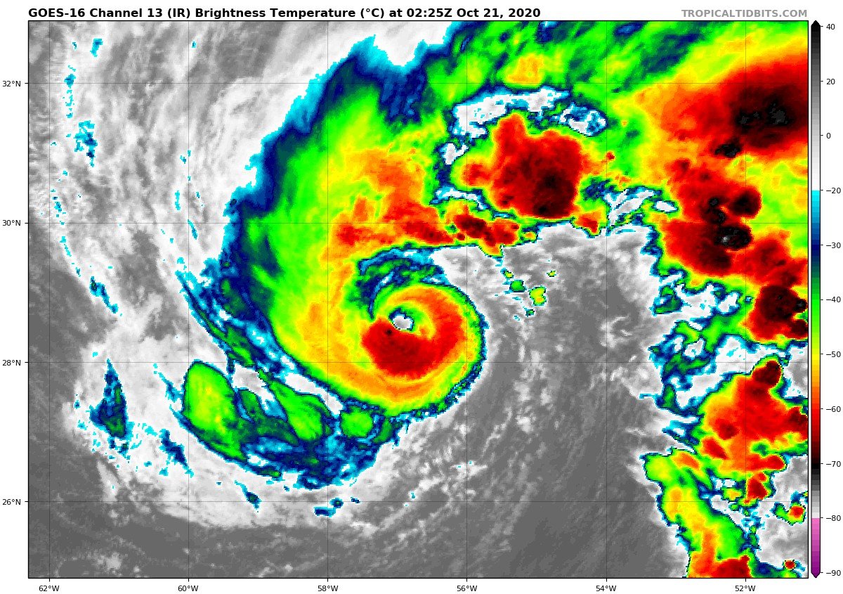
While the ET storm has formed around it, the inner core of Epsilon still seems healthy and fully tropical. Another little convective blow up is trying to wrap around the center, maybe one last hurrah
-
Eye is almost better defined than Delta's ever was!