FXWX
-
Posts
1,418 -
Joined
-
Last visited
Content Type
Profiles
Blogs
Forums
American Weather
Media Demo
Store
Gallery
Everything posted by FXWX
-
Yes...
-
I lived in Bristol in 78... Your parents were correct; tough measurement due to wind, but I posted 22". Drifting was amazing and town payloaders were used to open our street 3 days later. And yes, like all of these storms, there were relatively low amounts not terrible far away. Parts of the Berks recorded only single digit totals.
-
The comparisons are decent; with the explosive deeping of the 500 mb trough, intense 850 low passing south of SNE a bit further south than in 78, great easterly moisture inflow north of the 850; both have classic "S" shaped 850 isotherms as well as signs slowing down and attempt at capture of surface system. The sfc layout shows the classic banana shaped high with the surface low embedded same as 78; the 78 high was ~1048 mb, this one is a bit stronger ~ 1051 mb; almost exact locations. So, overall, similar sfc and upper level layouts; not identical, but pretty dam close. Sfc and upper level features are a tad further south this time.
-
As you should... Maybe kick the dog while you're at it... Lol
-
It does get to crazy in here... If folks think the modeling will stay stable run to run with the incredible multi-level dynamics in play, they are dreaming. So the max snow zone shifts around a bit from run to run? Has the big picture canvas changed? Are the jet fields and orientation significantly different? No, no and no! Has the inflow potential changed to suggest lower qpf? Has the potential for big meso banding features disappeared? Has the unstable look to the sounds changed? Again, no, no and no. Does that mean everyone gets a perfectly forecasted huge totals... No, because it rarely does. Go study some of the snowfall totals from Kocin storms, including Feb 78... There is more varibility than most want to admit. So relax and enjoy the storm whether you get 5" or 25"... I see nothing uniquely different with this setup compared to other true biggies. If it doesn't work out for your particular location, it's just the reality of a very complex atmosphere, not because of bad modeling.
-
What are the Mets (and others) in on here thinking about the general onset time for I-495 corridor from Haverhill area to the Cape?
-
Count me out as giving a dam!
-
I prefer these broad brushed depictions over folks trying cut up a forecast map into 4 to 6 zones when in reality you are almost always going to get multiple overlap zones.
-
Agree strongly!
-
I was teaching meteorology at Wolcott High in CT... We had a fully equipped weather office (fax; teletypes, etc) and the superintendent was waiting for me at the office at 7 am. I did an overview, looked at the surface obs coming out of the NYC / NJ area; and checked out overnight run of the LFM. Buses had just arrived and he told them to keep the students on the bus; cancelled school and turned the buses back to drop kids back home!
-
The onset rates were tremendous! The winds will high-end, plus the general public was out in mass, and there was a sense by the public that it was being over-blown. The onset of heavy heavy snow was like a curtain, making travel almost impossible shortly after onset! There is a couple of great books out there that document the event, plus the Kocin book! WBZ produced a great documentary about it; probably still out there some where.
-
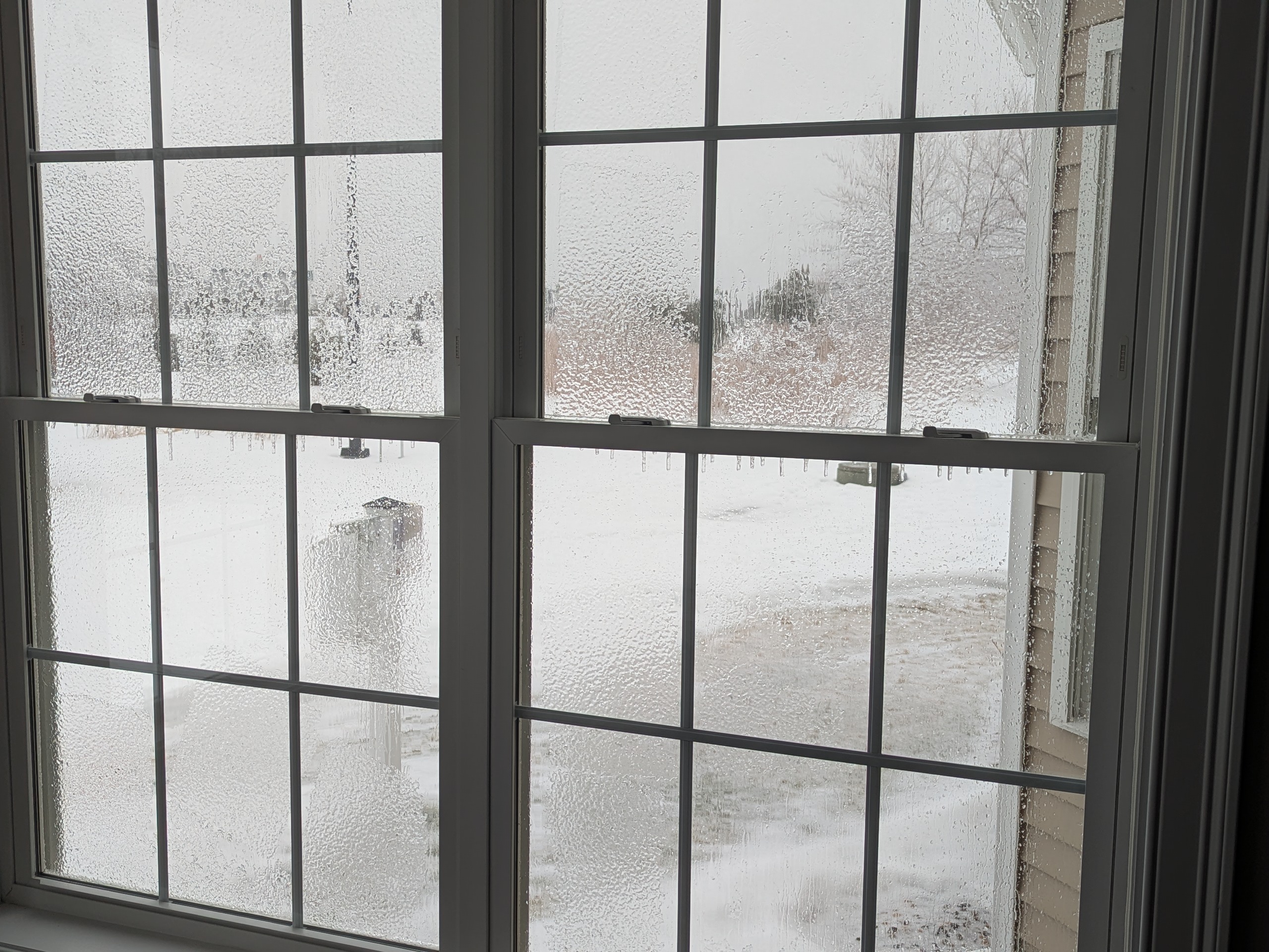
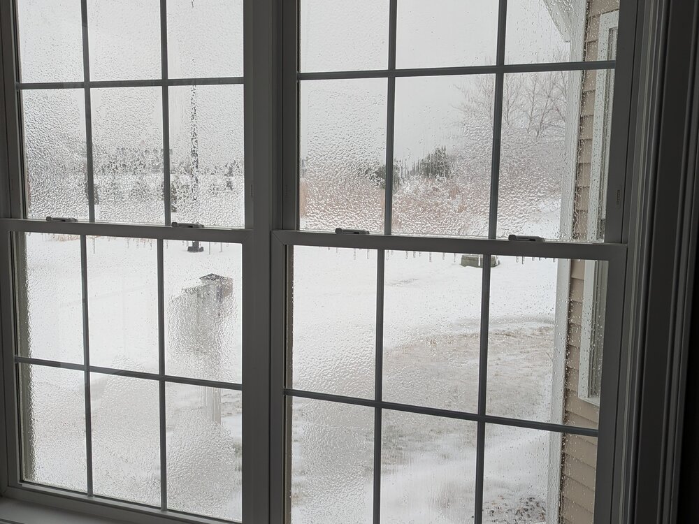
First icing of the east-facing windows this winter!
-
Here is the deal with the TWS located on what was Constitution Plaza... I spent quite a bit of time there back in the day; they would actually let me in to watch what they were doing, as long as I stayed out of the way. Ken Garee was the most conservative of all the forecasters at TWS; hated to hype a storm unless it was going to be a monster. On his Sunday afternoon update the day before the 78 Blizzard, on WTIC AM, he made the following statement: "Wherever you are during the late afternoon period on Monday (the day of the Blizzard of 78) is where more likely than not you will be for the next 2 or 3 days." I never forgot the call; and at the time he was making that statement, I was looking at the LFM model panels, which had just come off of the Naval weather facsimile I had just purchased. It nailed the capture and the retrograde perfectly...
-
Just remember a day or two the sharp cutoff was over the Cape??? just saying?
-
Yes indeed
-
I'm betting the icing will not be a major travel issue and will primarily be focused on non-travel surfaces; trees, shrubs etc.
-
For you, I'd say 10 am to 10:45 am
-

Wednesday Feb 18 Mixed event. NOPE …ain’t happenin’
FXWX replied to HoarfrostHubb's topic in New England
Agree... -
Wednesday Feb 18 Mixed event. NOPE …ain’t happenin’
FXWX replied to HoarfrostHubb's topic in New England
I've gone widespread 1-2" with spot 3" for your area... -
There you go again John... Using "logic and analytic content!" That has no place in a wx forum... Be better... Lol
-
Any road coverage
-
Feb 10-11 Mid Week Minor Event - Ride the hot hand?
FXWX replied to HoarfrostHubb's topic in New England
I hear ya... for adult activities should be a different standard... -
Feb 10-11 Mid Week Minor Event - Ride the hot hand?
FXWX replied to HoarfrostHubb's topic in New England
Just to put some background on the cancellation issue. Almost always, once an advisory or a warning is put into effect, most districts will cancel evening activities. Secondly, the decisions have to be made early in the afternoon; often by 1 pm. They don't have the luxury of waiting until 4 or 5 pm to see how the precipitation shield is trending. If there is even a 50/50 shot roads could develop a light coating prior to the end of the evening period, also including the time it takes for any visiting team buses to get back to their district, it's always going to be a cancellation. As it looks right now, it might have worked out, but they always will err on the side of safety, especially in the Litchfield County hilly districts. Just the nature of what the thinking is these days. -
Feb 10-11 Mid Week Minor Event - Ride the hot hand?
FXWX replied to HoarfrostHubb's topic in New England
After a great run, we will see if the reggie crapped the bed this time? That's the thing about all the mesos they can have a good run or hit one storm then fail miserably. -
got it... thanks