-
Posts
2,094 -
Joined
-
Last visited
Content Type
Profiles
Blogs
Forums
American Weather
Media Demo
Store
Gallery
Everything posted by bristolri_wx
-
“Cory’s in LA! Let’s MECS!” Jan. 24-26 Disco
bristolri_wx replied to TheSnowman's topic in New England
Enjoy it when you get back. It will still be here with all this cold. With some other chances to cash in. -

“Cory’s in LA! Let’s MECS!” Jan. 24-26 Disco
bristolri_wx replied to TheSnowman's topic in New England
I've always wondered how much Environment Canada uses their own models for forecasting vs the other globals that are available to them. Are the Canadian models tuned for their geographic location? CMC/RGEM is an outlier right now, so I wouldn't look too much into that until there's agreement. Usually the NAM is good with picking up those warm profiles but you need to wait to 48 hours before go time to get that data accurately modeled. -

Rise of the Machines: January 18-19 Winter Storm Obs Thread
bristolri_wx replied to WxWatcher007's topic in New England
4” here. Extra wet stuff with some fluffier snow towards the top. -

Rise of the Machines: January 18-19 Winter Storm Obs Thread
bristolri_wx replied to WxWatcher007's topic in New England
About to make the trip home to Bristol from Providence, this should be fun! Eyeballing a couple of inches on the ground here in Providence. There was only a coating left from this morning before the snow picked up at around sunset... -

Rise of the Machines: January 18-19 Winter Storm Obs Thread
bristolri_wx replied to WxWatcher007's topic in New England
I'm taking the over that @Franklin0529 will likely lose some money today. -

Rise of the Machines: January 18-19 Winter Storm Obs Thread
bristolri_wx replied to WxWatcher007's topic in New England
Maybe about an inch from this morning in Providence. Light snow at the moment but not really sticking. If heaviest bands can hold off until surface temps drop a few degrees after sunset, then I'm optimistic the 3-5+ will happen down here, but I feel it's very temp dependant on this storm... even when it was snowing heavier earlier this morning, it was having trouble accumulating at 32/33 on the way in to work. Also a slight warning sign that the kuchera accumulation ratios are lower than the 10-1 accumulations on most of the snowfall output maps (taken with a grain of salt, of course)... -

Rise of the Machines: January 18-19 Winter Storm Obs Thread
bristolri_wx replied to WxWatcher007's topic in New England
big flakes here... -

First Legit Storm Potential of the Season Upon Us
bristolri_wx replied to 40/70 Benchmark's topic in New England
-

First Legit Storm Potential of the Season Upon Us
bristolri_wx replied to 40/70 Benchmark's topic in New England
I don’t believe RRFS v1 is ever going into production. It’s based on FV3 which they found to be not great. There already is a second version of the RRFS v2 which will be based on MPAS which will likely end up the replacement for the NAM, NAM 3k, RAP, and HRRR… https://gsl.noaa.gov/research/predictions -

Another Coating of Snow Saturday - "It's all we Got"
bristolri_wx replied to Sey-Mour Snow's topic in New England
That band looks to be snow and headed directly towards @Ginx snewx. Someone is gonna pickup a quick couple of inches in that. -

January 2026 regional war/obs/disco thread
bristolri_wx replied to Baroclinic Zone's topic in New England
How do we know you’re not an AI bot from the future, here to warn us about snowless 70 degree January days in Central Park in the year 2029? -

First Legit Storm Potential of the Season Upon Us
bristolri_wx replied to 40/70 Benchmark's topic in New England
So just so I understand your thoughts on this topic… You are having difficulty using “AI” based weather models as a forecasting tool, because there isn’t as much published scientific research into how transformer models and training data affect/determine the model output results versus the established research on numerical based models? There have been published papers on this topic over the last few years circulating on the Internet. A lot of it is well over my level of understanding but it’s much more interesting learning about this usage of AI/machine learning than the typical slop being commercialized and promoted to the masses. -

Another Coating of Snow Saturday - "It's all we Got"
bristolri_wx replied to Sey-Mour Snow's topic in New England
-

First Legit Storm Potential of the Season Upon Us
bristolri_wx replied to 40/70 Benchmark's topic in New England
I think the biggest issue with the AI models is that we/they call them AI models. They are just using a different way of processing the data. This isn't an endorsement or indictment of these models, but, I am a firm believer that hardware and software engineering has progressed enough since the first numerical models were developed that augmenting them with training data and neural processing, things that weren't available a decade ago, seems like a worthwhile endeavor. We had AI before chatbots became mainstream and it was called "machine learning", and the newer models are much closer to that than having a conversation with ChatGPT and it suggesting you kill yourself because you may not get 6" of snow again until the year 2028. -

January 2026 regional war/obs/disco thread
bristolri_wx replied to Baroclinic Zone's topic in New England
-

January 2026 regional war/obs/disco thread
bristolri_wx replied to Baroclinic Zone's topic in New England
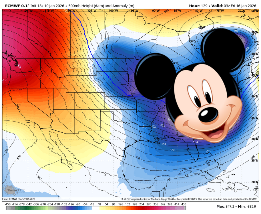
Patience is the key here. The CFS weeklies and Euro weeklies all showed a relaxation after New Year's with a change back to a colder pattern afterwards. The Euro weekly nailed the cold temps in Dec and this upcoming warm up back in early Dec. Let's enjoy a little bit of a thaw and see what comes on the other side of it. The weeklies show another several weeks of favorable conditions are incoming after it. I don't always have faith in the long term "climate" models but their 500mb depictions since December have been in the ballpark. -

January 2026 regional war/obs/disco thread
bristolri_wx replied to Baroclinic Zone's topic in New England
More like a knuckler or eephus… -

January 2026 regional war/obs/disco thread
bristolri_wx replied to Baroclinic Zone's topic in New England
Jan/Feb pattern forecast: -

January 2026 regional war/obs/disco thread
bristolri_wx replied to Baroclinic Zone's topic in New England
I believe the upcoming pattern could be characterized as a “January Thaw”. Not necessarily a bad sign for the rest of winter if we have one. The disappointment is amplified by the fact that we haven’t cashed din as much as we would like with the colder pattern in place, but it’s not unusual for a relaxation in the pattern to move in during January. -

New Years Day 2026 - 1st snows of the new year possible
bristolri_wx replied to Baroclinic Zone's topic in New England
Had to measure in a few spots due to the wind blowing things around but 2” here, about a 1/2” in the last band. A little bit of a snow hole here during the first part of the storm. -

New Years Day 2026 - 1st snows of the new year possible
bristolri_wx replied to Baroclinic Zone's topic in New England
Squall incoming. Will probably get as much out of this as the rest of the storm. Radar showed lots of weird micro-subsidence over my neck of the woods for most of the duration overnight. Eyeballed less than an inch will see how well the squall performs. -

New Years Day 2026 - 1st snows of the new year possible
bristolri_wx replied to Baroclinic Zone's topic in New England
The PV always guaranteed to deliver! -

January 2026 regional war/obs/disco thread
bristolri_wx replied to Baroclinic Zone's topic in New England
It's not even January yet and this thread is: dumpster-fire-gif-14.mp4

