

Winter Wizard
-
Posts
678 -
Joined
-
Last visited
Content Type
Profiles
Blogs
Forums
American Weather
Media Demo
Store
Gallery
Everything posted by Winter Wizard
-
Yeah that’s one of the most bizarre looking warm tongues I’ve seen. Can’t say I’d put much weight into it tbh.
-
Sleet line at 54 runs from Fairfax to Silver Spring to Annapolis to Dover, north of there is heavy snow.
-
The margin of error between a mauling and a sleetfest on the 3k NAM is less than a degree at 700 mb.
-
Yeah for sure, NAM has always been the outlier since the winds were much stronger at the mid-levels compared to other guidance. Seems to be falling in line now.
-
700 mb winds seem to be slightly weaker compared to the 6z run. Should mean slower WAA.
-
Switched over to sleet in Annapolis. Looking at 0.25-0.30” of ice accretion in the trees.
-
Annapolis, MD: 1/25: 0.3” 1/31-2/2: 3.5” 2/7: 1.3” 2/11-12: 2.5" TOTAL: 7.6” Bonus - State College PA: 12/16-17: 15.0”
-
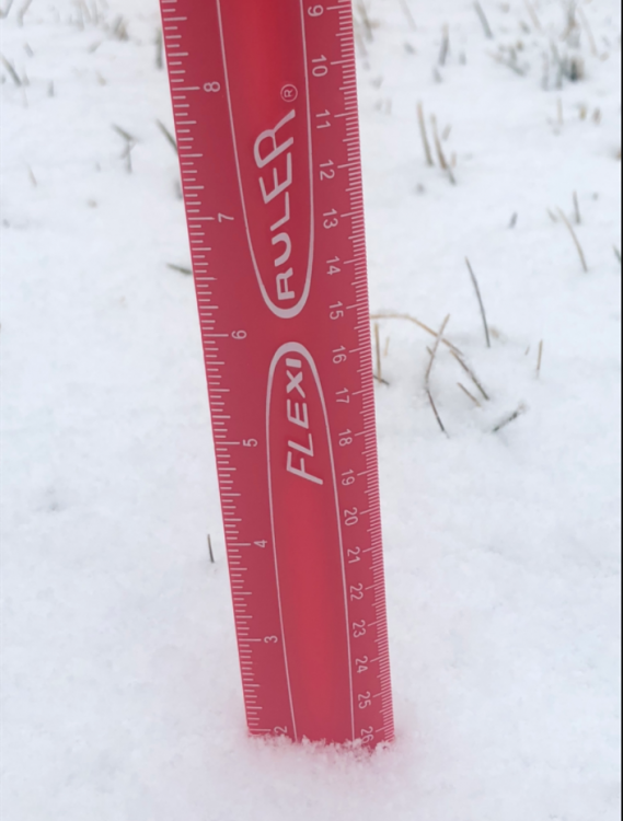
Up to 2.5” in Annapolis from this morning’s snow/graupel. Icing on the cake for a nice event.
-
Final total from my parents' house in North Wilmington is a little over 3 inches. Looks like a nice little event, that area has been fringed multiple times this winter.
-
Calling it 2 inches on the dot in Annapolis. Better than expected, so I'm pretty satisfied. Looks gorgeous outside.
-
Looks like this last band is making up for lost time in Annapolis. Woke up around 2 with basically nothing on the ground after hours of rain and sleet, but now looks like we have more snow than last weekend's fail. Will measure shortly. Congrats Baltimore/Mason Dixon Line folks who cashed in. And sorry DC...again.
-
Light snow just began in Annapolis
-
Hour 33 on the NAM: compared to 12z, precip is noticeably slower to arrive and confluence is stronger over Maine.
-
Annapolis, MD: 1/25: 0.3” 1/31-2/2: 3.5” 2/7: 1.3” TOTAL: 5.1” Bonus - State College PA: 12/16-17: 15.0”
-
Just wait until you see the reports coming out the eastern Shore and Sussex County, DE
-
1.3” looks like the final total in Annapolis and you can hear the drip, drip, drip outside melting it away. Such is life when you live close to the Bay.
-

Jan 31st - 33rd Storm Obs and Disco like it's 1979
Winter Wizard replied to Bob Chill's topic in Mid Atlantic
Annapolis sleeting -
Jan 31st - 33rd Storm Obs and Disco like it's 1979
Winter Wizard replied to Bob Chill's topic in Mid Atlantic
Pushing 2” in Annapolis with a nice band coming in. -
Jan 31st - 33rd Storm Obs and Disco like it's 1979
Winter Wizard replied to Bob Chill's topic in Mid Atlantic
I’m in Annapolis and generally the farther north and east you are, the better banding you’ll see. Being against the Bay also keeps us a bit warmer though due to the marine layer so we may mix for longer. -
Jan 31st - 33rd Storm Obs and Disco like it's 1979
Winter Wizard replied to Bob Chill's topic in Mid Atlantic
Stronger ridge would lead to a more amplified ULL and probably would support the more tucked in solutions. But again, this is purely anecdotal for now. -
Jan 31st - 33rd Storm Obs and Disco like it's 1979
Winter Wizard replied to Bob Chill's topic in Mid Atlantic
850 mb winds on the NAM are ripping southeast at over 40 knots 0z Monday which torches the mid-levels I-95 south and east. This is significantly higher than any other guidance has and the SLP track is also farther west. Also, checking out the obs: this is anecdotal, but could support a deeper ULL: -
Jan 25th Wintry Mix Obs and Nowcasting
Winter Wizard replied to stormtracker's topic in Mid Atlantic
All snow in Annapolis -
I think this is just a matter of perception - keep in mind that a negative bust for you usually means a positive bust for someone else. Additionally, there is still a margin of error even in short range, and slight adjustments to a storm's track have significant implications. The January 2015 bust in NYC is a great example of this, same with Boxing Day 2010 for our area. If we think about recent storms like March 2017 and the one this week, it could be that NWP models underestimate mid-level warmth, as evidenced by the sleet line going farther north and west than expected. This storm is also another example of how deceiving snow maps can be in marginal setups, as many of them count sleet as snow and that inflates totals.
-
January 2000 is the ultimate example of a positive bust in our area. The storm was predicted to go out to sea but instead continued northward and dumped over a foot of snow across much of the area. As @MillvilleWx alluded to, NWP models have substantially increased in accuracy since then, so such a large-scale bust likely won't happen again. November 1987 I imagine was a similar type of positive bust. November 2018 is also a good recent example: the storm ended up colder than expected, so areas along I-95 and north and west got quite a bit more than forecast. December 2013 is a different case since that was the result of a mesoscale band in an area of strong convergence. - those types of busts can still happen as models have still have difficulty pinpointing the magnitude and location of those bands. Just ask Binghamton, for example. In February 2009, there was an inverted trough that set up near Philly and dropped a surprise 8 inches over the city.
-
December 16 2020 CTP Snowstorm Disco and Obs
Winter Wizard replied to pasnownut's topic in Upstate New York/Pennsylvania
Yup, it's gorgeous out. It's been way too long since central PA has been a jackpot zone for a Nor'easter. If only this could have happened when I was a student...


