

hstorm
-
Posts
607 -
Joined
-
Last visited
About hstorm

-
Small but mighty storm blew through Great Falls. Knocked out our power.
-
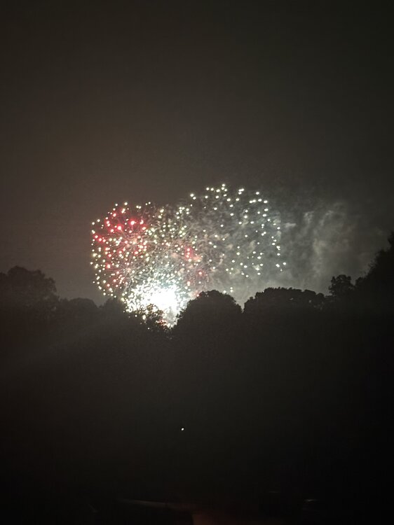
Storms rolled through and cooled it down nicely for the Great Falls fireworks. 72 degrees. Happy 250th!
-
Great Falls 4th of July parade was hot but fun as always. Glad they didn’t cancel for the heat!
-
84 at 10:30. Sticky evening outside watching fireworks.
-
Seems unlikely. High is still 98.
-
Looks like pur low here will be 77. Yesterday was 99/76. today feels like it will be hotter. Swim meet this morning should be fun …
-
99 for the high here (so far).
-
96.3 here at 1pm. Skeptical that we top 98 or 99.
-
76/75 here. Sticky but we have seen worse. Good day to wrap up work early for the long weekend and head to the pool.
-
Dumping rain in Great Falls.
-
52 here for the low. Looks like IAD got down to 48. I’ll take this every day for the next 3 months.
-
It’s been pouring here for most of the past 90 minutes. Not much thunder/lightning except for the initial storm that came through around 8:30.
-
29.3 so far.
-
Seems reasonable to assume a T. We have now had three separate graupel/snow showers blow through, all moving NW-SE (and Arlington is SE of us). Together with @pazzo83's DC observation, seems likely that both Arlington and DC got a T. But maybe that's just my weenie logic.
-
Brief graupel/snow shower just came through Great Falls.


