SouthCoastMA
-
Posts
6,990 -
Joined
-
Last visited
Content Type
Profiles
Blogs
Forums
American Weather
Media Demo
Store
Gallery
Everything posted by SouthCoastMA
-
Pulling for something Day 6 or even Day 8. Looks like the GFS has a clipper redeveloper if that first system doesn't materialize. Otherwise,
-
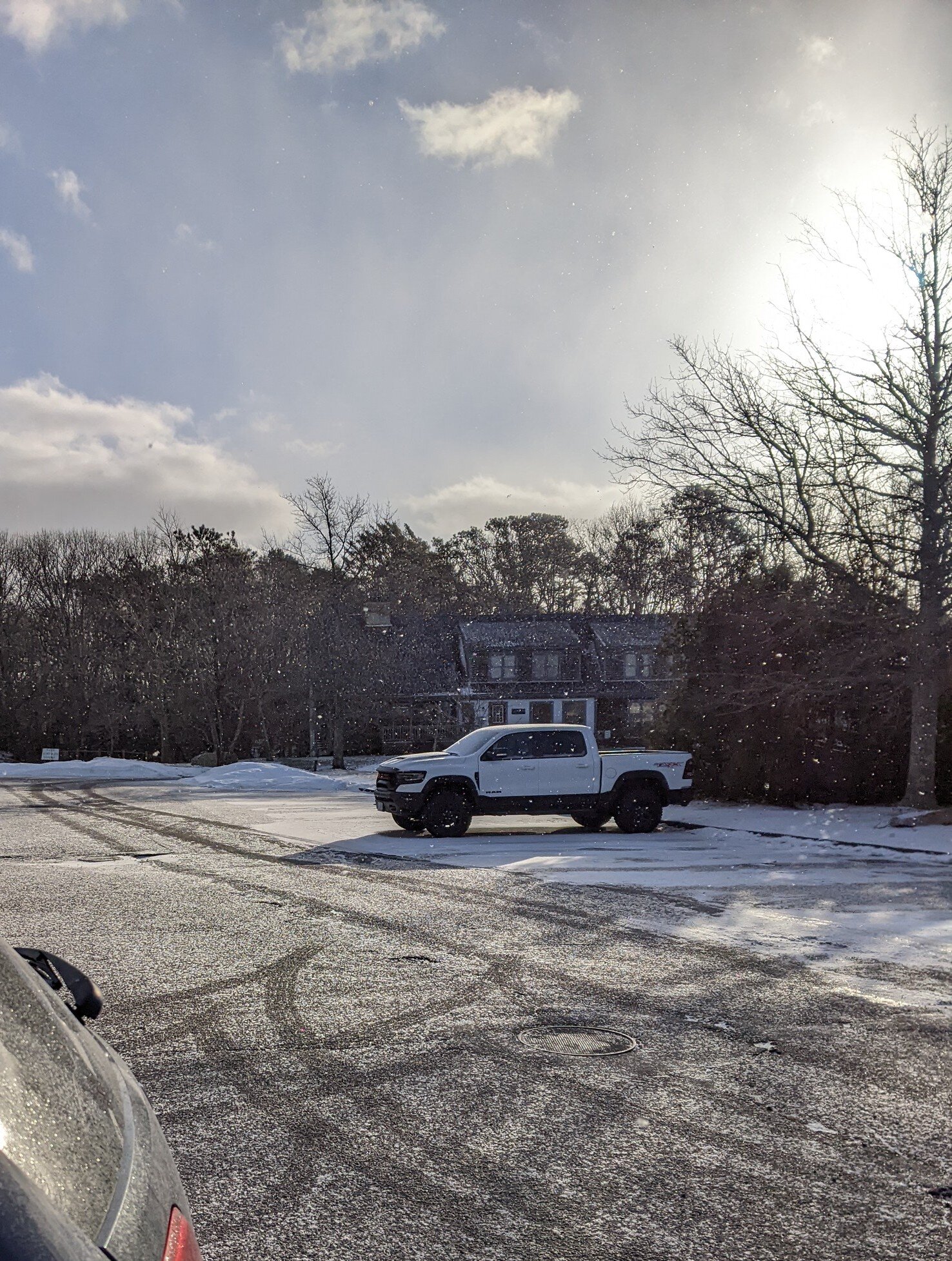
What I was referring to this morning. not much but a wintry feel nonetheless
-
the cloud ceiling is so thin that it basically looks like blue sky producing the snow. cool look
-
some OES flurries/showers. nice surprise
-
Looks like the next chance is around VDday. shades until then for most of SNE
-
nice burst pushing through now. should cover any of the random patches we may have lost yesterday
-
around 3/4" of ice/with snow on top
-
 isn't that nice of the SNE weenies to stay up late for you and track a storm that might give some snow to NNE. very thoughtful
 -
C+ Cold January with little snow had this at a D- before the late Jan storm. On track to finish around average or slightly above. I'm not sold on it yet though.
-
Hit 53 earlier. Then in the last hour went from 50 to around 38. It's pushing south pretty fast
-
still have full coverage here. at least several inches
-
Degrees of suckitude, agreed.
-
OK..I'll give you that. We'll see what happens next. If the GFS and Euro tick colder again, it will be a win for the GFS...until the next model cycle
-
I don't see it going as far north as the Euro has caved south..but I guess it's possible. I was being hyperbolic, but it's plainly obvious over the past month it has been more right than wrong with the general idea in the mid-range.
-
Need another 50 mile tick for my area, but that's probably asking too much at this point.
-
That's a nice way of saying the Euro has sucked
-
GFS - King of the mid range
-
Rush obviously. Our Lady peace was decent and Jagged Little Pill. I don't know much else
-
Maybe this can evolve into that late Jan 2012 event.
-
OBS/DISCO - The Historic James Blizzard of 2022
SouthCoastMA replied to TalcottWx's topic in New England
PEAK depth for me had to be 2/15/15 - 30" in Acushnet MA. I'm sure most had some insane peak depths that year though..especially up in South Shore -
OBS/DISCO - The Historic James Blizzard of 2022
SouthCoastMA replied to TalcottWx's topic in New England
No, lol - because I don't feel confident in it. I had measurements all over the place, but the driveway this morning was between 13-15"..so assuming it settled at bit. Was helping out the inlaws in Centerville - they had a bit less than us. About 11-12" settled in their driveway but was also heavier in nature. -
OBS/DISCO - The Historic James Blizzard of 2022
SouthCoastMA replied to TalcottWx's topic in New England
going with 14.5" here. -
OBS/DISCO - The Historic James Blizzard of 2022
SouthCoastMA replied to TalcottWx's topic in New England
nice blizzard on the Cape. not historic though. issues were: 1) losing 5-6" over night due to temps around 33°. needed better antecedent airmass 2) 700mb may have closed off too close to Cape. not sure if dual low situation had anything to do with that. Epic mainly bands situated in SE Mass / South Shore. they tickled my area in the afternoon but nowhere near the length of the jack zone 3) storm didn't capture and stall SE or ESE of Cape. OE enhancement usually lasts longer with N or NNE winds vs NNW/NW winds with storm departing to the Northeast. see 05 or 15 where Cape cleaned up with CCB and OE enhancement otherwise, fun storm..maybe Top 10 or 12? -
OBS/DISCO - The Historic James Blizzard of 2022
SouthCoastMA replied to TalcottWx's topic in New England
yeah it's the lower level stuff. shows up more cellular -
OBS/DISCO - The Historic James Blizzard of 2022
SouthCoastMA replied to TalcottWx's topic in New England
yeah this is good stuff..hopefully it can hang on another hour or two