SouthCoastMA
-
Posts
8,737 -
Joined
-
Last visited
Content Type
Profiles
Blogs
Forums
American Weather
Media Demo
Store
Gallery
Everything posted by SouthCoastMA
-
I do miss my 04 Ford Ranger..gave me 242k miles before it rusted out..but that's on me
-
next two weeks look mild, overall.
-
I'm seeing that they are outperforming globals in mid range..but can't really be trusted for nuance in the short range (0-3 days) due to smoothing/blurring effect. I wonder if those short term problems are something that can be overcome with time.
-
Still not too impressed with the AI models, but I honestly haven't looked at any verification scores.
-
0.00" would've been a nice blue ball storm in winter..with a few models teasing right until the end before the rug pull
-
Said I'll be Steined till November, I'll be Steined till November You tell my girl I'll be Steined till November, I'll be Steined till November I'll be Steined 'til November, you tell my girl yo I'll be Steined till November January, February, March, April, May Grass I see you dyin' but no time to spray I'll be Steined till November, I'll be Steined till November
-
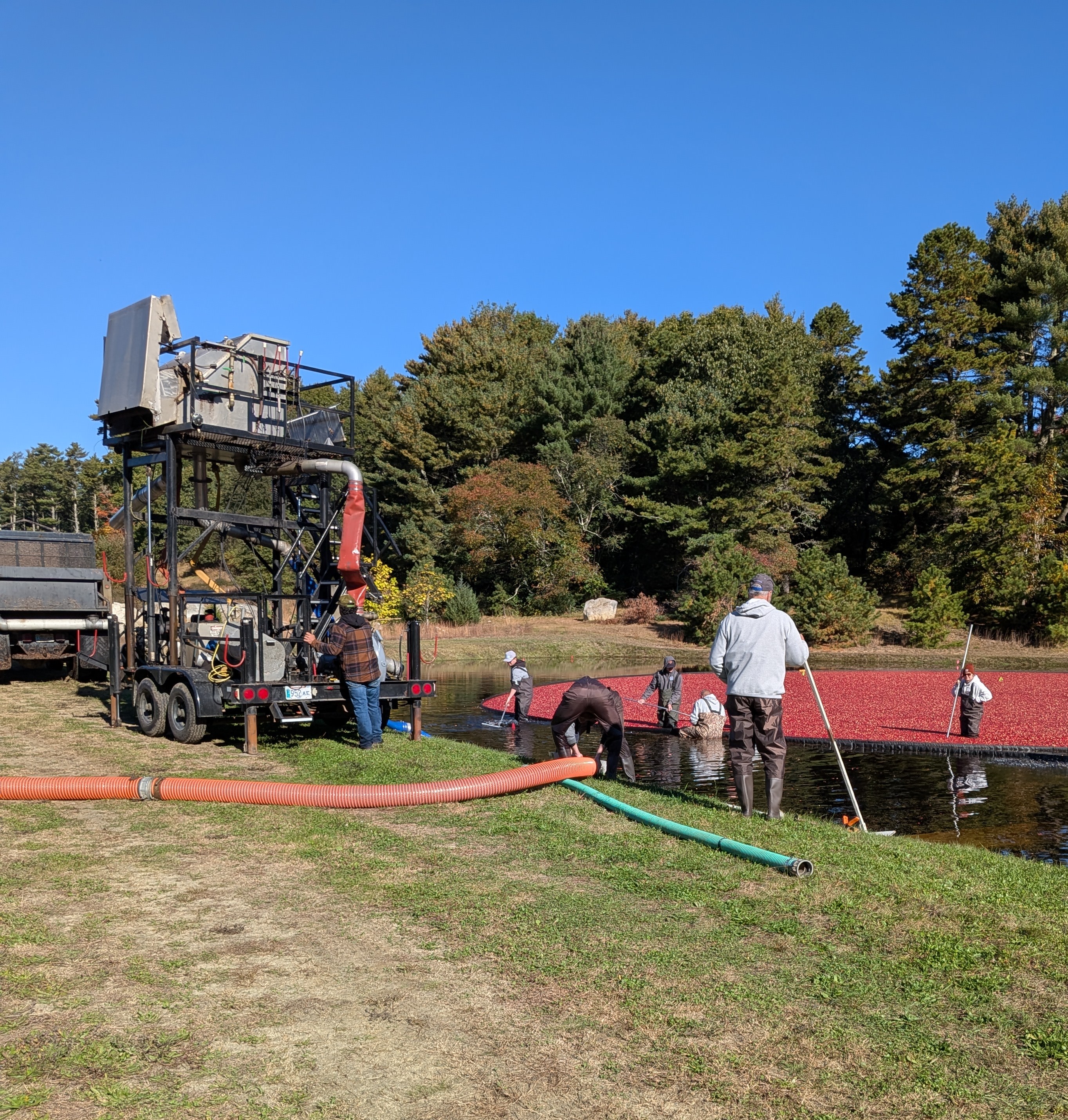
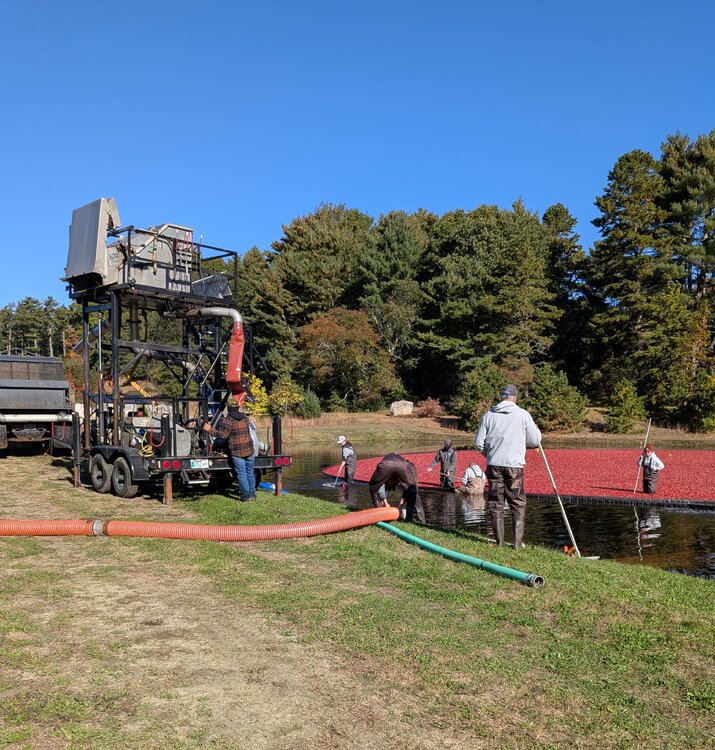
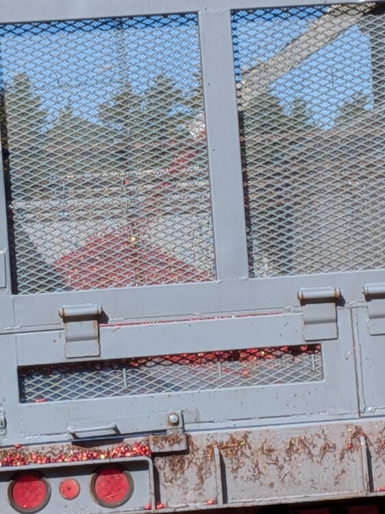
Checked out a bog harvest the other day in Carver, in preparation for the upcoming snow this winter. cc @40/70 Benchmark
-
Ha forgot there was a Bob Dylan cameo in that
-
survived with no heat. 33.8° low, house temp bottomed at 64°
-
That sounds appealing, if the alternative is 43°-50° and bleh
-
I would be all for Winters that are relatively torch, but leave room for a big dog or two. Best of both worlds. I don't like it when Christmas torches so it would be nice for those couple of weeks to be seasonably cold.
-
some solid bait on this page..fishing be good
-
Fake cold always over achieves. Real cold always under-achieves
-
give me 60s through Novie, with spot 70s.
-
Sell. Save your time for Winter. Looks like an easy whiff to me
-
House temp got down to 66° at the lowest point so far this month. we heat off
-
It's going to be a winner today, low 70s
-
Heat isn't turned on til Nov at the earliest..barring some anomalous artic air mass. Plus, oil prices are...you know.
-
38° low of 37
-
If we aren't going to kill the ticks anyway, might as well keep summer alive as long as possible.
-
For about an hour this morning, then it all went to shit again
-
Same here. Thought it was done
-
The connection to CC that I've read on this board is that PWATS are generally 10% higher for any given system. I'm likely oversimplifying that, but I'm not a met. Looks like I'm finishing at 6.31"
-
wasn't much of a lull. heavy showers keep regenerating south of the islands
-
Wonder if we sneak in a few breaks in the next couple hours