TugHillMatt
-
Posts
10,356 -
Joined
-
Last visited
Content Type
Profiles
Blogs
Forums
American Weather
Media Demo
Store
Gallery
Everything posted by TugHillMatt
-
Those look solid.
-
It's unbelievable...and as we have seen almost every time, the lowest amount has been the right one for here lately. So, as of today, 5 inches it is.
-
There's ALWAYS one that shows Syracuse getting the shaft compared to everybody else around it... lol
-
Thanks. After being burned so many times, it's hard to NOT look for "what could go wrong."
-
I don't like that jut north on the Canadian. Looks too close to what the Euro had been showing the past few days. The GFS moved the low slightly north and look how much more mixing gets into Southern NY. It just seems if mixing makes it any past the border, it FLOODS in the whole way to the Lake Plain. The GFS had room for northward movement. The rest don't.
-
It's not that big of a difference between our location and there come March. The sun is hot. Period.
-
Oops, I wasn't referring to snowfall, but rather snowpack that adds to the winter appeal. If you have a solid and established pack, that can hold strong in March...mostly the first half of the month. Anything with higher ratios will be obliterated in March.
-
First couple weeks of March may have some solid winter-like weather with consistent, cold temps. Just have to fight the losing battle of strong March sun.
-
There has been an interesting theme this winter of Wednesday thaws and Friday snowfalls.
-
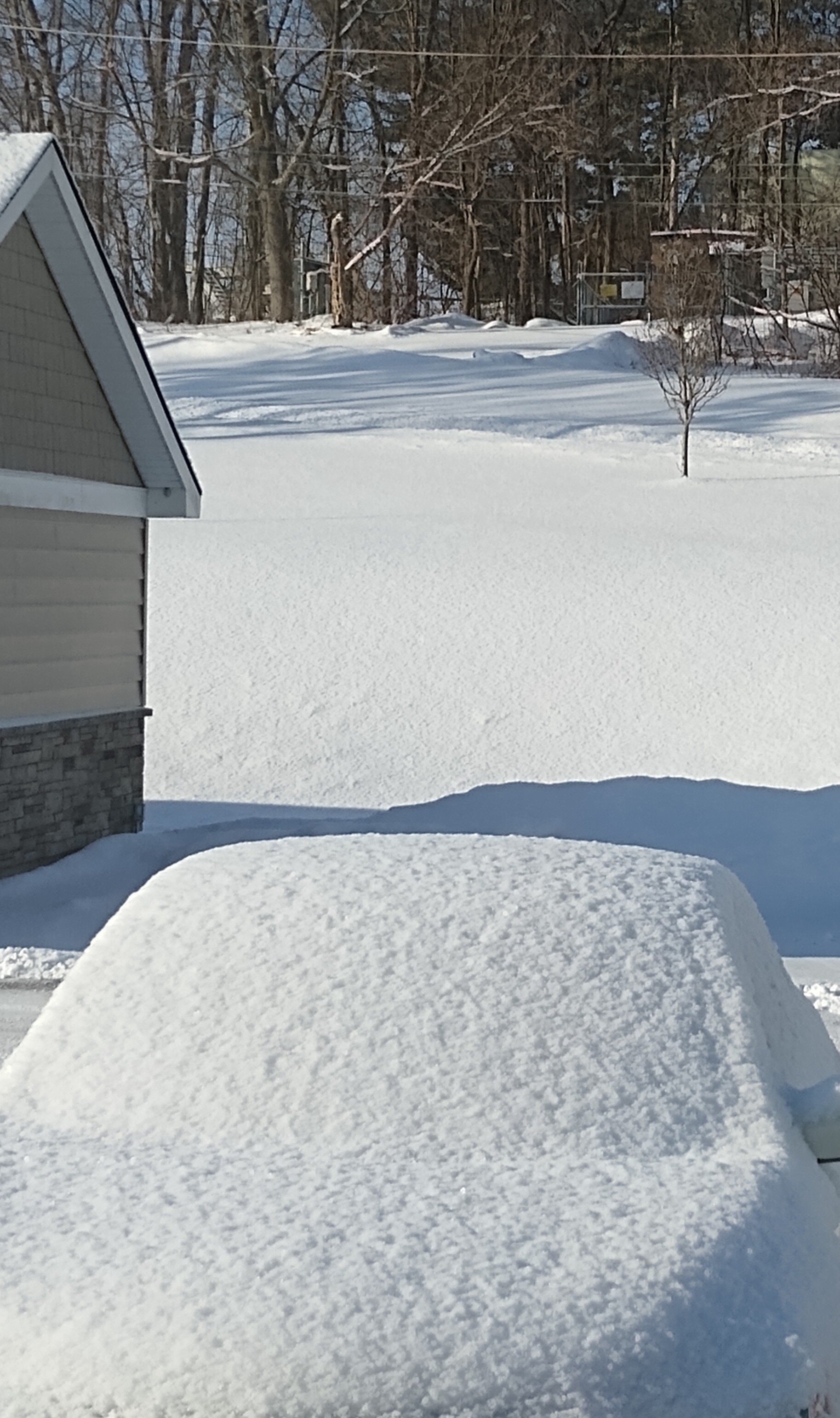
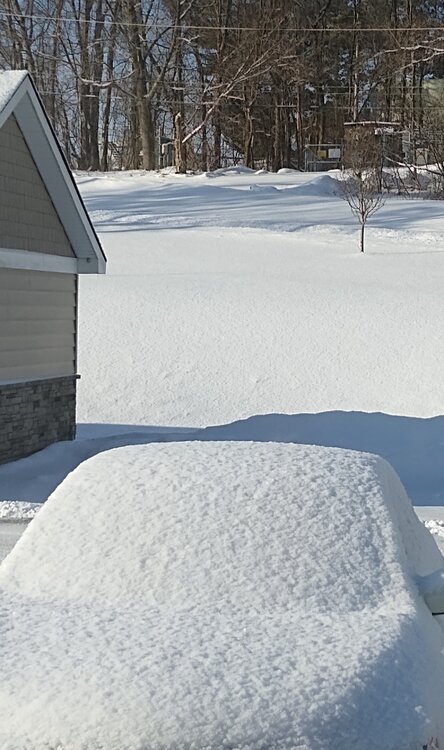
Got an additional 2 inches of lake effect fluff after 1 am. I saw the band starting to intensify a bit as it moved back north but went to sleep. Would have been a nice Jebwalk! Beautiful morning.
-
MJO and Snowman both "liked" this comment. And there was peace in the world...for a moment...
-
Beautiful run of the 06Z GFS this morning for the snow-parched areas of the Northeast throughout the long range. Would like to see it bump a bit north (which it is doing) for Friday. My biggest concern, which I think may be starting, is the models start cutting back totals and we end up getting to Friday with a 3 to 6 inch event rather than a 6 to 12 inch one. It's either cutter and amped or flat and weak these days.
-
That would make sense since I have a balcony.
-
I have a dilemma. I want it to come a little bit more north than this, but that means Buffalo would get more too. Hmph.
-
It still looks good, but definitely weaker than earlier runs. The thing I like the most about this system is the FLATTER, more lateral movement/look. Not another one of these where the trajectory is a sharp diagonal.
-
Yeah, for sure. It practically doubled the amounts since the 18Z run. It barely had any of NY getting 6 inch amounts, and now the 6 inch line is quite a bit farther north and spread out on the 0Z run.
-
Looks a bit better for our neck of the woods. The snowfall map actually looks really good, which is rare for the Icon: You're fine. We all seem to have our own interests and quirks in terms of weather weenieism. It's actually quite interesting to see the different personalities and who looks for what type of weather.
-
The band reversed track and started moving north a little bit. Starting snowing again about 15 minutes ago.
-
Lol...Yeah, I saw that a couple weeks ago when I checked that storm out and rolled my eyes. I wasn't about to post about it on here. haha...
-
Looks snowless in downtown Jackson:
-
I love all the weather resources you share on here!
-
Thanks. Did you edit it? I don't remember seeing it the first time. Yeah, I've researched some events, and it seems we need one or two of these big enhancement events (several feet) in a winter to get to that average or above.
-
Can you post the storm information for which this refers? That's why I have said "lake effect" is an extremely overrated term when referring to snow in Syracuse. Lake enhancement doesn't get enough credit...and I think Syracuse's climate relies MUCH more on enhancement from synoptics than the typical lake effect. The area in which I lived in West Michigan was very similar, in that it relied on synoptic events for enhancement more than pure lake effect. So when synoptic patterns SUCK, the season's average is reaaaally bad...like we've seen the past 3 winters.
-
Yeah, and unfortunately those Inland Noreasters have been MIA for years. That's why I said 20s with moisture is great. These dry, cold NW winds behind cold fronts are so meh. Models had showed the clipper today reinforcing the lake effect, but it was extremely minute.
-
Ha. I was thinking the same thing. Another failed lake effect event on NW winds. These NW wind lake effect events behind cold fronts do diddly for Syracuse...or maybe it's just the new theme of snow dying here all the time. Looks like Syracuse city area did even worse, as has been the case, over the past 2 days. Looks like the lake effect has made its way over the new snowbelt of SW Onondaga county. Glad we got some moisture yesterday for a couple of inches because today's snowfall was waaaay less exciting than I thought it was going to be. I think we'll be mostly grass by Monday/Tuesday (Maybe even tomorrow pm).