

olafminesaw
-
Posts
3,173 -
Joined
-
Last visited
Content Type
Profiles
Blogs
Forums
American Weather
Media Demo
Store
Gallery
Posts posted by olafminesaw
-
-
1 hour ago, PrinceFrederickWx said:
About five days left to enter- we have 48 contestants so far.
Notable absences include @Bob Chill , super weenie @attml and previous champions @Stormpc and @olafminesaw
Also some of you (like @George BM ) need to post an actual forecast. I'm actually not sure if @WxWatcher007 forecast is a troll or serious at this point though.

Sure, why not
DCA: 17.3"
BWI: 19.4"
IAD: 23.5"
RIC: 9.8"
SBY: 8.7"
-
-
If the eye were less ragged we'd be talking about yutu returning to its former glory. There's pretty good model agreement now on a track similar to Mangkhut. I feel for the small communities trying to rebuild there, if it does indeed make landfall (hopefully with some substantial weakening beforehand).
-
-
This gas station awning is blue shed 2.0:
-
3" per hour rain rates

-
1 minute ago, fountainguy97 said:
For what it’s worth the 12, 18, and 00z hrrr run have all had this type of gusts (70-80 and even 90mph on 00z) 00z being the most agrressive. You can probably shave those gusts down to 60-70 mph. As a general rule I usually reduce those gust maps a little.
Now the normal 18hr runs are getting into range.
Yeah, it's a little out of it's range though. If it sticks to it's guns through 6z, then I'm all in for 60-70 ( east of the triad anyway).
-
 1
1
-
-
3 minutes ago, fountainguy97 said:
Yeah very hard to say. But I’d say there is a shot at some big time gusts tmrw. This storm is on another level than normal as far as intensity. It’s very possible for some residual 80-90knt 850mb winds to filter down almost 100% when the dry air filters in.
Setup is there. But stars would have to align.
The HRRR has enhancement started 14z tmrw so 10am? That’s the time to watch for verification. That and of course current run to run trends.
And when you get run to run consistency from the HRRR, 9 times out of ten, it is going to be approximately correct. That probably means "only" gusts in the 40-60 mph range, but it's something which we wouldn't even be considering if it weren't for hires models.
-
I don't think I've seen a troll have this much success since way back around the time the internet troll was invented.
-
2
-
-
2 minutes ago, Dunkman said:
I don't know, I'd certainly think about including the Charlotte metro up through the Triad. People here have done absolutely nothing to prepare in any way. Should be interesting tomorrow.
It's funny to me how much hype there was surrounding Florence, even after we knew for sure it wasn't going to be a big deal apart from some flooding. This should be equivalent or worse, and I've hardly heard a thing about it. Blame the media I guess.
-
Quiet around here, but perhaps what will in many ways be the worst part of the storm, still to come.
-
Just now, pugsgirl13 said:
I'm in Greensboro N.C. Its really windy here. How bad do you think it will be? Should I worry?
Winds should remain more or less where they are right now for a long while. Flooding rains may be a concern, but totals over 6" should stay to our south and the higher terrain.
-
1
-
-
6 minutes ago, BooneWX said:
Last couple of frames on radar almost seemed as if she was starting to move wnw a bit. Just my eyes, or anyone else notice it? Might just be a wobble.
Seems like land interaction forced it south, and now it's readjusting back to the expecting heading.
-
1
-
-
-
 1
1
-
-
3 minutes ago, MattPetrulli said:
Jeff Piotrowski just had a gas station overhead blow away, pretty sure he's in Jacksonville
Not the highest quality construction on that one

-
1
-
-
Mesmerizing

-
1
-
-
It may partly be a function of a different part of the eye being exposed, but it appears that Flo has taken a big step to the West over the past few hours.
-
1
-
-
The whole NE half of the storm looks quite healthy, especially in the last few frames. if shear lets up somewhat, I don't see why it wouldn't restrengthen somewhat to a legit cat 3.
-
Jacksonville would be decimated if the GFS is how it played out.
-
There's no dry air to speak of that may be ingested on landfall, which is rather remarkable.

-
1
-
-
3 minutes ago, BombsAway1288 said:
It sure does. It’s dead center of the 50” contour and there’s nothing higher after that so I guess that’s as high as the product will show in terms of the contours but that’s def 93”. There’s no way that can happen, can it?
It has 30 straight hours of 1.5" per hour or higher rates. I can't imagine that can happen...
-
Does. Does that say 93"?

-
6
-
 1
1
-
-
Convection is starting to fire west of the core where it's been sheared, in addition to the impressive convection on the western side of the eyewall
-
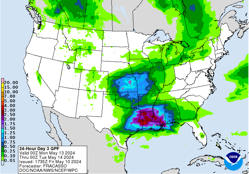
24 hour precipitation forecast:


Mid to Long Term Discussion 2018
in Southeastern States
Posted
Wunderground is calling for 1-3" of snow on Wednesday. I guess a dusting to an inch or so is probably the ceiling, with good rates needing to overcome temps in the mid thirties. The timing is perfect on the GFS, so that would help. Any snow is a win in December. I just moved here, so I'm not sure about local climo, but it would seem, the mountains often would steal snow with this kind of little clipperish thing.
Edit: Although Now I see it has more to do with the Coastal low, which seems like reasonably optimistic set up.