.png.2082198afdafcedf9ad03f1d6dfb7336.png)
HIPPYVALLEY
-
Posts
30,941 -
Joined
-
Last visited
Content Type
Profiles
Blogs
Forums
American Weather
Media Demo
Store
Gallery
Everything posted by HIPPYVALLEY
-
This thread needs some mood elevating model happenings.
-
Ya’ but you want plenty of ice to ensure jams and max flooding! obviously, I’m just kidding, but I’m sure some on here would welcome it. Lol.
-
Let’s get some significant rain and snow melt into those ice choked rivers!
-
Yeah, I'm assuming schools won't cancel Thursday, just a pain if we get 2" followed by freezing rain. Probably a two hour delay though out here if that happens.
-
A nuisance with inconvenient timing for commute, school drop off etc. yay
-
The valley gets really tight up this way, so there are big snowfall differentials within even a few miles. Above 600’ starts to make a big difference and that elevation change happens quickly,
-
I don’t know, 55” to 60” seems about right for Brattleboro. Much more in the hills just to the W. Just like my area.
-
Both Brattleboro and Greenfield are subject to the usual CRV caveats. Although the Valley is much more forgiving up here it’s still presents shadowing issues, especially on easterly flow. I can only imagine Keene NH is even a lower snow average. They have decent latitude and longitude but are shadow hell there. Same for Bennington and North Adams.
-
Our elevations aren’t the difference. I think I catch the fringes of latitude dependent storms that you just miss. Otherwise Greenfield and Brattleboro average snowfall is pretty much the same.
-
About 32” for the season so I would need another 26” or so to hit average.
-
yes, we have a road to hit seasonal average here. I can’t begin to interpret how March might look, but the next few weeks are going to offer chances and a lot of hand wringing over mid-range model fluctuations.
-
The last system had higher societal impact around here than last nights storm, even though it dropped half the amount of snow. Partially because it was during the week but the cold temps and hours of freezing drizzle, did the trick from a sensible weather standpoint.
-
That would certainly solidify the pack at least.
-
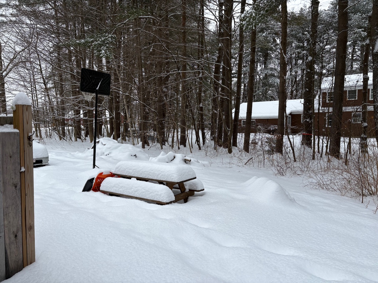
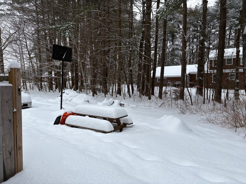
Out clearing the driveway now, it looks like this morning’s fluff brought my totals to a little over 5”.
-
The storms have not been big, but at least the picnic table is looking better than it has in a while.
-
That is a pretty sizable bust for your area. I’m not sure any model showed that.
-
Skies rapidly brightening here. I’ll call it 4.75” total. It was probably a little bit more, but I’m sure compacted a bit overnight.
-
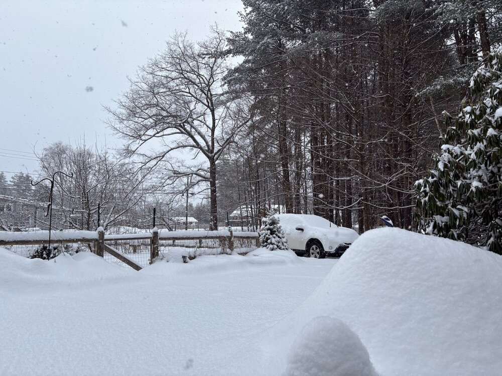
Pretty morning.
-
I’m not sure models were that far off on QPF, I just don’t think we got the snow growth that was expected. Anyway close to 4.75” here with light snow. Looks like this band is short lived.
-
Yeah, this last little band has big dendrites. Maybe we can add .5”
-
Eyeballing 4” but already done here at 3am. Kind of a disappointment along the RT 2 corridor. The best rates were 30+ miles N of here.
-
Crappy snow growth, but it is just a fog of snow right now. At 25° I’m sure I-91 and RT 2 are dreadful driving right now. Going to bed, hopefully pick up a few more inches tonight as there’s been some decent backfilling and banding along the MA/VT border.
-
We won’t get the forecasted accumulations but should at least be good back retention snow. Dense.
-
Just under 3” and moderate pixie dust. This is going to bust low out here. All the best banding is well N into VT and S of here along the Pike. It is like pulling teeth to verify warning snows this year.
-
Very narrow bands of heavier snow. How much there?
.thumb.png.4150b06c63a21f61052e47a612bf1818.png)