HIPPYVALLEY
-
Posts
32,949 -
Joined
-
Last visited
Content Type
Profiles
Blogs
Forums
American Weather
Media Demo
Store
Gallery
Everything posted by HIPPYVALLEY
-
Jeezuz, that must’ve just changed this week again. We literally only have a handful of cases here but our population is so low the ratio they use screws us. It also has kept me from investing in any interstate ski passes since come winter time we might not be allowed to overnight anywhere.
-
I think my county is the only county in Massachusetts that’s allowed to stay over there right now.
-
Early season snow voodoo prelude to a ratter? I know how you love that theory.
-
Partly sunny low 60s, not a bad day. I can see the heavier cloud line to the north over S VT. Foliage is still cranking pretty good here, it has been a colorful two weeks.
-
Too late, I would prefer a warm dry stretch.
-
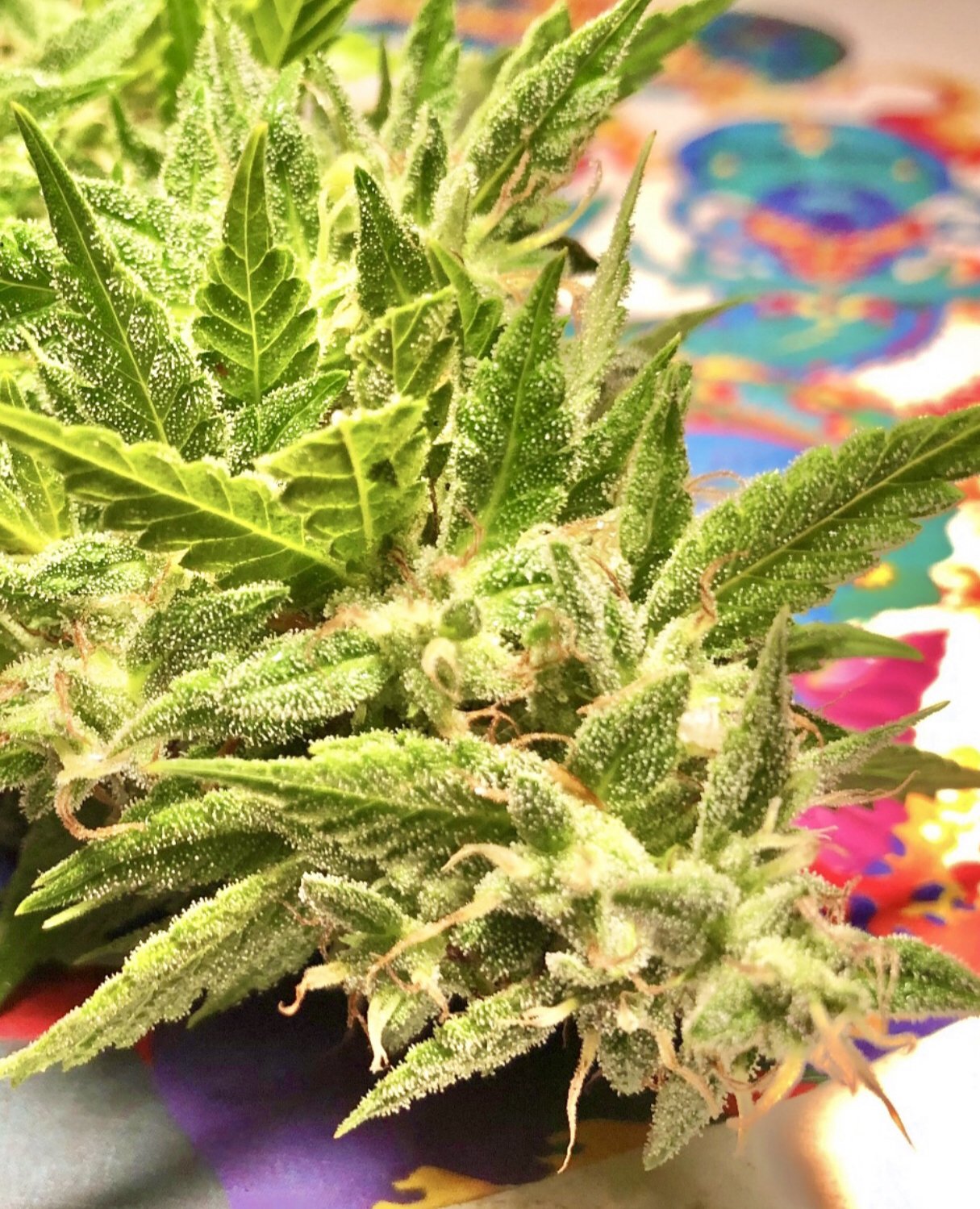
Start with just cbd oil, no real psychoactive effects. Otherwise a low dose cannabis edible. In MA you can buy mints or whatever that are as low as 1mg. Go low and start slow. At that level the worst that can happen is you don’t feel anything and take a little more next time. The big mistake is that people don’t feel anything after 15 minutes and they take more. Can take up to an hour to take effect and is based in part on your size and physiology etc. Really, for the ideal experience, I cannot emphasize strongly enough to start really low and don’t worry if you “don’t really feel much”. As we say on this forum with snow weenie forecasts: “You can always adjust up if needed“. We are such a culture of excess, people always want to grab a bigger hammer to fix things. That is precisely why I don’t think legalizing stronger psychedelics or other drugs is something most folks are ready to handle responsibly. Marijuana is a little different because of its low toxicity levels and the worst an overdose is going to do is make you a little freaked out and fall asleep. I certainly don’t recommend driving under the influence of marijuana, alcohol or any other impairment. Honesty , I’m not even sure people should be driving on the levels of caffeine that they do, never mind all of the legal prescriptions this nation takes.
-
Lol, I bet at this point a lot of users don’t even smoke it. Tinctures and edibles.
-
I think the nice thing about legalization is that you can go to the store and tell them exactly what you’re looking for and not looking for as far as effects go. The edibles are much more manageable as far as dosage goes.
-
Ya’ that’s my friend Chris Fontaine. He’s getting his own thing going now though so might only be consulting at Bull Spit. Just saw him tonight at our virtual Cub Scout meeting.
-
But yeah, booze is way more destructive on many levels. Working at a brewery I obviously drink but way less then when I was younger and really only beer these days. We rarely even have hard alcohol in the house.
-
I think a lot of the money being generated in Massachusetts is in the eastern part of the state and from people driving in from out of state. Because prices in Massachusetts are the highest in the country there’s probably still a pretty strong underground/gray market. The stores in Western Massachusetts are filled with out of staters from CT/NY/NH. I use it sporadically for relaxation or back pain so love the idea I can grow a little bit in my garden every year and then turn it into edibles or hash.

-
Pharmaceutical grade psychedelics should definitely be legal for research and therapeutic purposes. I’m not sure they should be sold in shops. Don’t need go-kart engine minds filling up their tanks with rocket quality fuels.
-
We should be warmer than average most of this week.
-
He’s one of my all time favorite Red Sox players.
-
Sounds good to me.
-
39/32 under starry skies. Should finally get that first killing frost by morning. Twas’ a long pepper season this year.
-
Kanc sounds like a safe drive in those conditions. Hopefully you were steering with your knees while you scrolled through radar apps.
-
Snow on Sugarloaf webcams
-
50/45 with bright blues from the get go today. 1.7” total rain.
-
Chipmunk. I was working in my basement but I had put my cell phone down on the workbench about 30 feet away.
-
Welp, power just went out.
-
Definitely a weird distribution. I have .30”
-
Yeah, let’s get all out of the precipitation out of the way now and snap back dry for DJF.
-
Earn your turns weekend at Sugarloaf.
-
What a day! 72° and bright blues. Some pretty good wind gusts too. Foliage in town is on Fire right now.