
Hoth
-
Posts
10,096 -
Joined
-
Last visited
Content Type
Profiles
Blogs
Forums
American Weather
Media Demo
Store
Gallery
Everything posted by Hoth
-
@Four Seasons 4.6" in Hamden. A solid 100%+ increase in seasonal total
-
Has he gone into hibernation? Haven't seen him posting recently.
-
It's beautiful out. How I missed winter.
-
Better late than never!
-
It's the wonder of nature baby! We rip!
-
ASCATT
-
Music to my ears.
-
 I’m curious if there’s ice potential with this one. Would the decent High to the north feed cold surface air down the valley, even if the primary is torching the mid levels?
 -
Yeah, or like a AirBnB in Truckee.
-
Agreed. I pulled 28” in about 8 or 9 hours in Jan ‘11.
-
My God, it's snowing!
-
I ran the Euro out of my basement.
-
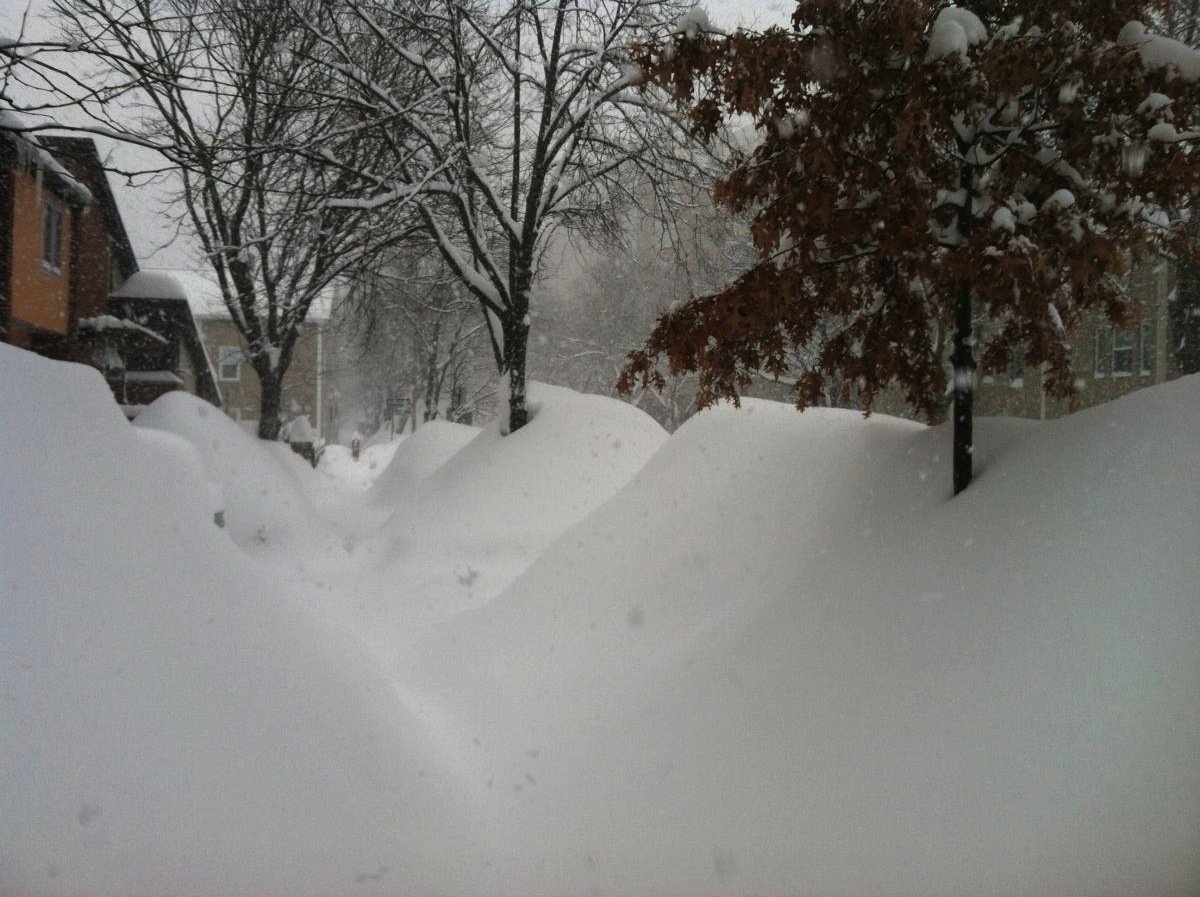
At this point I just want to see the ground white. It’s been since December 11th, which is ridiculous.
-
Be honest, what you hate most is that you missed out on that EF2 in Jersey the other day.
-
Lol 4-5” sounds like a pretty robust seasonal total at this point.
-
I mean, even if the models throw out HECS after HECS over the next five days, I’m so snakebitten this season that I won’t be able to take them seriously until I see Ryan standing in a business suit in the NBC parking lot weening out in 5”/hr rates.
-
Futility is a HECS in its own way. The S just stands for suckerhole instead.
-
Quick thump to rain. Seasonal trend intact thus far.
-
Interesting. I was worried about the temps aloft perhaps being marginal if the primary doesn’t fizzle down in Ohio. I guess the high is in a decent spot though.
-
Gotta say it always makes me a little uncomfortable having the primary hold together so far north. Is there a risk of warmer air aloft working in down here?
-
-
-
Wow. That’s some impressive weighting. I definitely weight big storms over consistent pack, but even a Feb ‘13 repeat could only get me to a C.
-
If I miraculously pull off a 3 footer next week and suddenly find myself at climo snowfall, what grade is fair for the winter? I’m still inclined to fail it for the dumpster fire to date, but others may feel differently.
-
Some pretty solid damage pics showing up in the NY sub forum.


