
Hoth
-
Posts
9,962 -
Joined
-
Last visited
Content Type
Profiles
Blogs
Forums
American Weather
Media Demo
Store
Gallery
Everything posted by Hoth
-

Forecast/storm discussions and part II Manitoba Mauler
Hoth replied to Damage In Tolland's topic in New England
Fiyaaaah!!! -
Forecast/storm discussions and part II Manitoba Mauler
Hoth replied to Damage In Tolland's topic in New England
How was the flight? See anything of note from 35k feet? -
Forecast/storm discussions and part II Manitoba Mauler
Hoth replied to Damage In Tolland's topic in New England
I think you'll be obliterated, even if you do slot for a bit. Gonna be epic down there! -
Forecast/storm discussions and part II Manitoba Mauler
Hoth replied to Damage In Tolland's topic in New England
Someone in NYC thread was saying the servers came under attack by millions of requests. Anyone know if there's anything to that? -
Forecast/storm discussions and part II Manitoba Mauler
Hoth replied to Damage In Tolland's topic in New England
Haha, I'm with you, buddy. That would be tough to see. -
Forecast/storm discussions and part II Manitoba Mauler
Hoth replied to Damage In Tolland's topic in New England
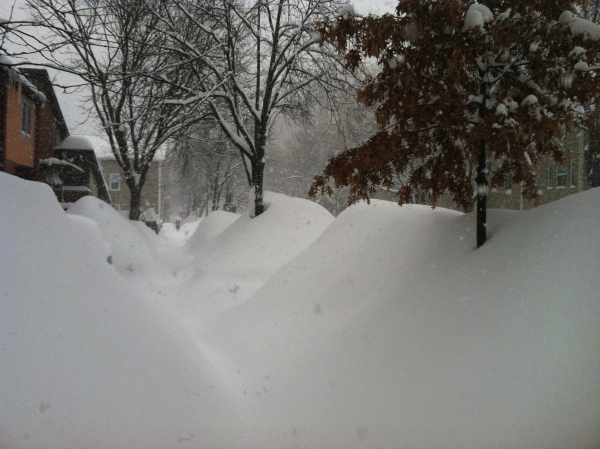
Boxing Day. Hours of non-accumulating needles on a roaring wind. Now, cast that memory into the fire! Destroy it! -
Forecast/storm discussions and part II Manitoba Mauler
Hoth replied to Damage In Tolland's topic in New England
Haha, this thread would be dead if you did! -
Forecast/storm discussions and part II Manitoba Mauler
Hoth replied to Damage In Tolland's topic in New England
Great runs on the whole for eastern Mass to be sure. Just have one question perhaps someone with formal training in the science can comment on. There's a fairly persistent subsidence hole over eastern Mass, running roughly Boston to Cape Ann, which has showed up on the RGEM, Canadian, NAM and GFS to some degree. I'm wondering if this is more a result of proximity to the sinking air around those huge bands to the west, or if it may have to do with the wind direction/coastal front? Many thanks in advance. As an addendum, just want to say this place is a treasure trove for amateurs like me. I've learned more lurking here for the past four years than I'd probably ever pick up just reading books and studying charts. -
Forecast/storm discussions and part II Manitoba Mauler
Hoth replied to Damage In Tolland's topic in New England
Hell of an initiation into nor'easters. Enjoy! -
Forecast/storm discussions and part II Manitoba Mauler
Hoth replied to Damage In Tolland's topic in New England
Violently agree. Very persistent on some of these runs.