-
Posts
3,006 -
Joined
-
Last visited
Content Type
Profiles
Blogs
Forums
American Weather
Media Demo
Store
Gallery
Everything posted by DeltaT13
-
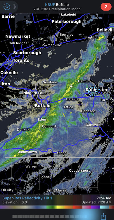
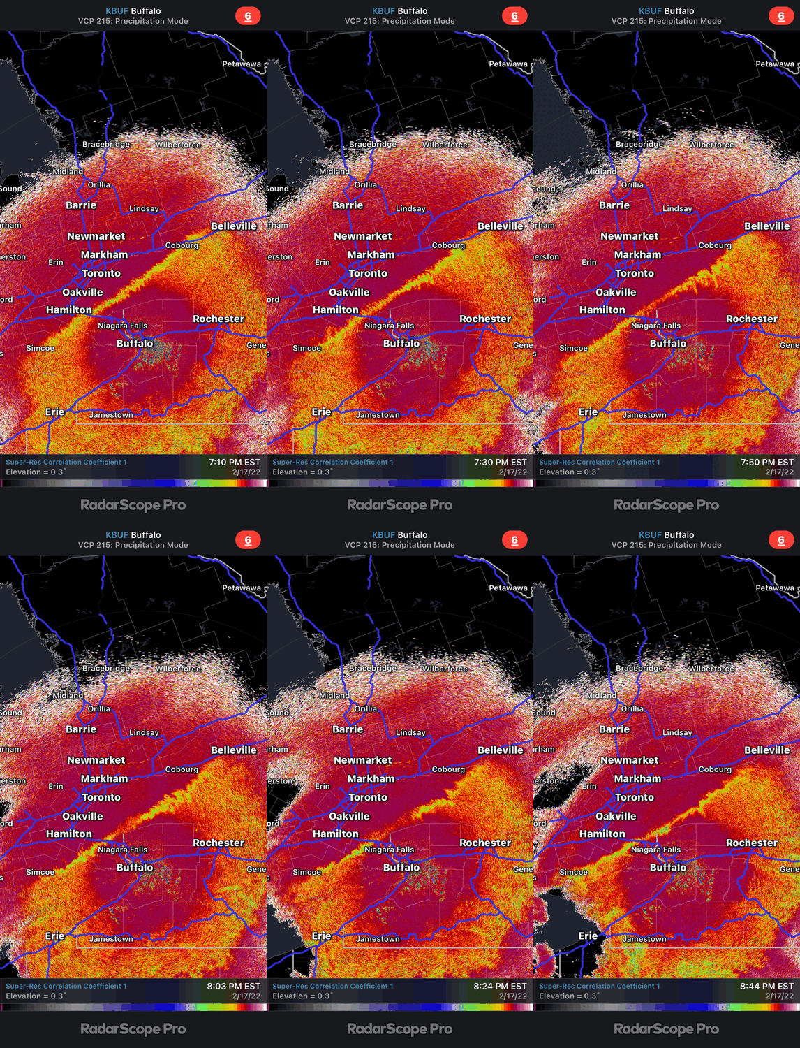
Winds are ramping up nicely in Buffalo. I’m downtown at a hotel right now about to check out (duffs then home!). Seems quite likely that we’ll see some damaging gusts this afternoon. Forecast has temps slowly falling during the afternoon which should increase surface instability as the ground will still be baking in the sun. That’s when we should see the action.
-
These anomalous spring wind events are interesting. I assume it’s the juxtaposition between the ice cold lakes and the dark leafless land which creates a huge horizontal temperature delta that must drive large powerful turbulent circulations. Add in some of large snow fields in the higher elevations and dense wooded areas creating additional localized circulations and it should be and interesting day… as long as we get adequate solar heating.
-
Upstate NY Banter and General Discussion..
DeltaT13 replied to wolfie09's topic in Upstate New York/Pennsylvania
Baseball is too long as it is. Cut two months for all I care. Sounds great to me. 100 game season would be great and still too long IMO. -
This winter is a solid B for me, teetering on a B+. I have held at least a trace of snow on the ground everyday since January 3rd, with more than 1 inch on the ground for 56 days. Greater than 2 inches on the ground continuously since January 16th. So as a snowpack guy this is about as good as it gets. I chased a decent lake event in Buffalo and a couple real nice synoptic events here in KROC, one of them with absolutely insane rates, so I can't complain. Anyway, looks like the show is more or less over as we hit meteorological spring. We are hitting the peak acceleration of the day length sine wave now as the days are getting longer very quickly and the sun angle sky rockets. Thanks for the memories 2022!
-

Potential of Widespread Snow/ Mixed Precipitation 2/25
DeltaT13 replied to sferic's topic in Upstate New York/Pennsylvania
I mean with the speed of this system I don’t think you can realistically expect much more. A solid 6 inch storm would be fine by me. I’m going to Bristol first thing tomorrow. Pretty big gamble with the mix line so close but the season is quickly coming to a close so I’m rolling the dice. -

Potential of Widespread Snow/ Mixed Precipitation 2/25
DeltaT13 replied to sferic's topic in Upstate New York/Pennsylvania
I think you need 9 or more for a watch. Seems like a high end advisory event. -

Potential of Widespread Snow/ Mixed Precipitation 2/25
DeltaT13 replied to sferic's topic in Upstate New York/Pennsylvania
I'm feeling like this is a 4-8 event with a couple high end lollies in lake enhanced areas. Kind of straddling the line between advisory and warning but does it really make a difference? Just cover up the grass and mud please. Coastal transfers have been known to disappoint in far WNY so hedge your expectations accordingly


