

Harry Perry
-
Posts
1,030 -
Joined
-
Last visited
Content Type
Profiles
Blogs
Forums
American Weather
Media Demo
Store
Gallery
Everything posted by Harry Perry
-
My power finally went out at 11:30 last night. Picked my son up this morning and noticed several large diameter branches down. Power lines covering the road in a few spots with caution tape. Couple branches have fallen on cars and destroyed them on my block. Lots of branches that have also managed to go through the roof and into peoples living rooms. Nasty storm. Also, lost a Paw Paw firefighter last night, he came in contact with a down powerline, and it was still live. Pretty sad.
-
Standing outside at the moment just listening to the crackling and crashing of tree branches in the distance. Power flashes look like lightning every few minutes. Several without power, half of my block is out but somehow managed at least for the time being to keep power at my place. Have approximately .50” of ice on everything. Tomorrow morning will make for some awesome pictures. Still raining here at 31°. Can’t imagine much more than maybe another .05” if that before this wraps up. Jackson and Hillsdale got absolutely clobbered. Interested to hear what they ended up with total.
-
32° here. Sleet and freezing rain. About a quarter inch so far, waiting to see if the temp is going to drop a bit after dark. Heaviest rates still to come according the GRR. Definitely seems significantly worse east of here.
-
Just went outside and noticed the ice on the old lady’s car is now melting and sliding off, might get lucky over here.
-
30° and moderate rain here. Have just about a .10” on elevated surfaces. Lots of run off. Temp was 32°, dropped to 29° when the rain started and now leveled off at 30°. Roads are fine but they’re also warmer so I guess that’s the silver lining.
-
Thinking back, I do remember the entire upper and lower peninsula having a winter storm warning.. but the date is evading me. Maybe one of the GHD systems?
-
I definitely think IWX and DTX will be adding and expanding overnight looking at the majority of the 00z data.
-
Damn, that’s no good. That storm (believe it was 2018), was strange around here. You could go out Pennfield/Bellevue and it was awful, but the minute you turned onto Raymond Rd and headed south to Michigan Ave, very little in the way of ice. Two different worlds minutes apart.
-
Wow, glad you’re alright. Where about was that? I remember that storm well. Massive trees uprooted everywhere, almost looked like wind damage from a severe storm vs. ice storm. Lots of damage along M-37 toward Bedford. Went to my grandfathers to check on him and see if he needed a generator (behind Rombaughs auto sales) and it was like a scene out of a movie - every tree on his property was nearly bent over backwards.
-
You make a valid point, it’s been a while since we’ve had a doozy.
-
Atleast the HRRR isn’t that bad compared to other guidance. Wouldn’t be too prolific if that run verifies.
-
Servicing my generator for this ice storm to not materialize tomorrow, y’all can thank me later
-
Not liking the looks of that.
-
GRR goes ice storm warning for our area, calling for up to half of an inch. Lovely.
-
The 12z RDPS would do it.
-
GRR beginning to side with the short range guidance on less ice and more plain rain, atleast along the 94 corridor, shifting highest chance of icing further north. They’re also really beginning to question if the ice will even materialize due to the heaviest qpf occurring earlier and the temps being so marginal - so plenty of good news, hoping it stays that way.
-
Should be interesting to see what happens here. Love that the front can indeed make it north of the MI/IN/OH and IL/WI border in the middle of winter, but never come spring… Stays along I-80 Every. Single. Time. Keeping the weather trash here and 70° and sunny 50 miles south.
-
00z NAM sticking to its guns.
-
Last Thursday at approximately 4:30, it was 29/30° With moderate FZRA, and it was freezing quickly on contact. Fortunately it only lasted about 45 minutes to an hour but turned everything into ice for the evening and the glaze stuck to the trees (could hear the crunching on the wind). My immediate thought was, “enough of this.” A week later I see that could’ve just been the appetizer. One hope is that most of the QPF will fall earlier in the day as plain rain prior the temps slipping just under that point of instant accretion during the late afternoon/evening as precip wanes.
-
I would agree, if temps end up a degree or two cooler though, it will not be pretty.
-

Midwest/Ohio Valley/Great Lakes Snow January 24-26
Harry Perry replied to Baum's topic in Lakes/Ohio Valley
Ended up with 6.5” total here in Battle Creek. Definitely a bit more than expected. Fine flakes this morning turned into monsters this afternoon/evening. Nice event, was also nice that it was still - no wind and not all that cold 31-32° for the duration. Trees are all plastered with snowfall. -
Midwest/Ohio Valley/Great Lakes Snow January 24-26
Harry Perry replied to Baum's topic in Lakes/Ohio Valley
Ironically enough 21z SREF mean increased from 3.7” from 15z to 5”. Excellent lift in the DGZ for most of the duration of the event, wonder if heavier rates will lead to some dynamic cooling to help ratios out a bit. Going to go with 4” of concrete locally. -
January 12-13 Thread the Needle Snow Event
Harry Perry replied to Hoosier's topic in Lakes/Ohio Valley
00z, 06z and 12z GFS all look like complete trash. Nothing really to speak of for anyone in the sub except for maybe an inch or two of slop for DTW. Ontario looks good. 06z Euro holding steady with a swath across I-69, but really local with not much outside of it. Still plenty of time for this system to fall completely of the tracks, which I have a hunch it’ll do. -
Pre-Christmas (Dec 21-23rd) Winter Storm Part 2
Harry Perry replied to Chicago Storm's topic in Lakes/Ohio Valley
Just got home, I live in a subdivision in the fringe of city limits. Not bad at all.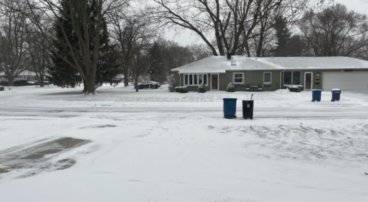
-
Pre-Christmas (Dec 21-23rd) Winter Storm Part 2
Harry Perry replied to Chicago Storm's topic in Lakes/Ohio Valley
Me too! That would be an experience over there. Think it was the NAM Forecasting 94.5” over there. Just bizarre.


