-
Posts
1,112 -
Joined
-
Last visited
About fountainguy97

- Birthday 06/14/1997
Profile Information
-
Gender
Male
-
Location:
Erwin, TN: 2000ft
Recent Profile Visitors
5,055 profile views
-
Here is a Timelapse of the NW showers rolling through today!
-
Decided to try out Imgur so I don't have to constantly delete photos out of the threads. Here is a short clip of the snow!
-
-
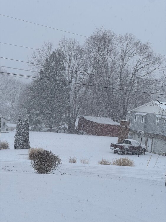
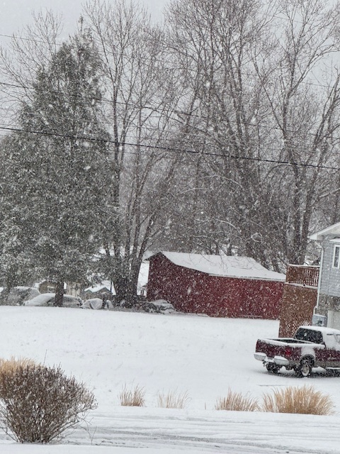
It's ripping pretty good as far as NW events are concerned. Probably .5 or .75 inch per hour rates currently. It's 17 here and that NW flow is squeezing out every drop of moisture in the lower levels.
-
Always crushing it with the real time obs! Ratios will be between 15:1 and 20:1 so the chance of an over performer is higher than normal.
-
My temp has slowly started to fall from a spike of 36. Downslope winds are relaxing.
-
Yeah my bad on the terminology there lol.
-
Woke up to a nice dusting most of which has already melted off. My eggs were always in the ULL basket with this one. That February sun is no joke. 12z suite is fairly tame in regards to the energy coming through tonight maybe a generous 2-3" across the typical NW prone areas with 3-5" on the peaks
-
Indeed the place where snowflakes go to die appears in full force tomorrow as both the hrrrr and nam have a minor downsloping wind for the valley through the day. I said earlier today don't be shocked when the valley and east is a bare ground going into tmrw evening. It'll be very similar to last event. Except hopefully when the flow backs we get a nice shot of cold NW snow
-
Areas west of the valley cash in tmrw morning. Don't get frustrated when tmrw the valley and points east struggle with precip and downslope issues. our show comes as the flow backs and that Vort swings through.
-
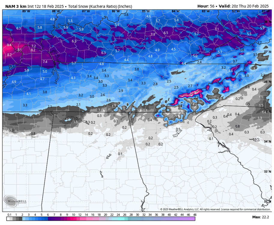
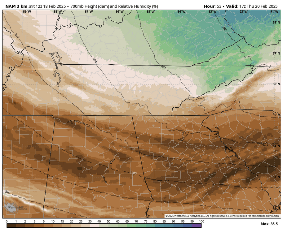
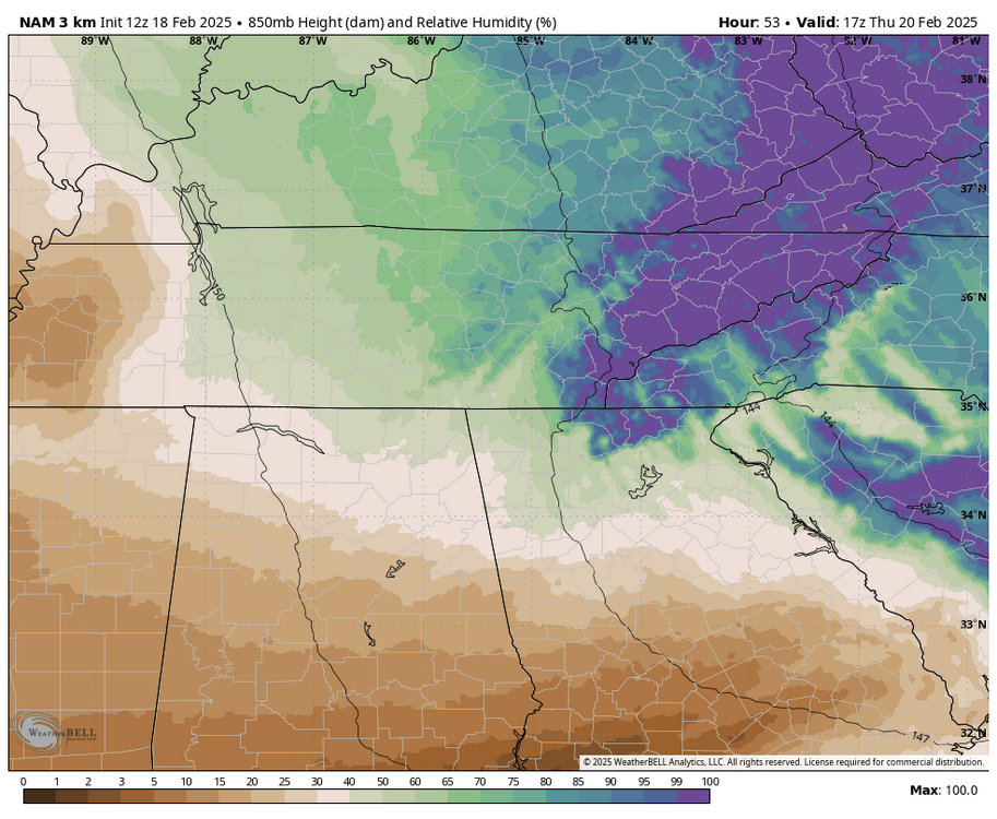
Hrrr and nam finally seeing the significance of the ULL passage. In my experience when you see NW events with moisture into the 700mb layer it typically ends up being a pretty significant event. 3km nam has 20-30knt of 850 flow and temps in the teens during these frames. It would stack on quickly.
-
Yeah that's the only player we can get anything of note from at this point for E and NE regions. The initial precip shield is doomed to the transfer. Maybe a very lucky few get 1-2" Wednesday morning at best.
-
Yep that's just how it's been the last few winters. If I've been taught anything by the last 3 winters it's just sit back and let it ride. I used to get so spun up about storms and crash out when they inevitably went poof. It's still frustrating for sure but my mindset now is that I'm just a spectator with no control over any of it. Just going to let it ride and enjoy what we do get. Even with the downslope fiasco and the warm nose issues and now this transfer this winter has been exponentially better than the last 2 for my backyard.
-
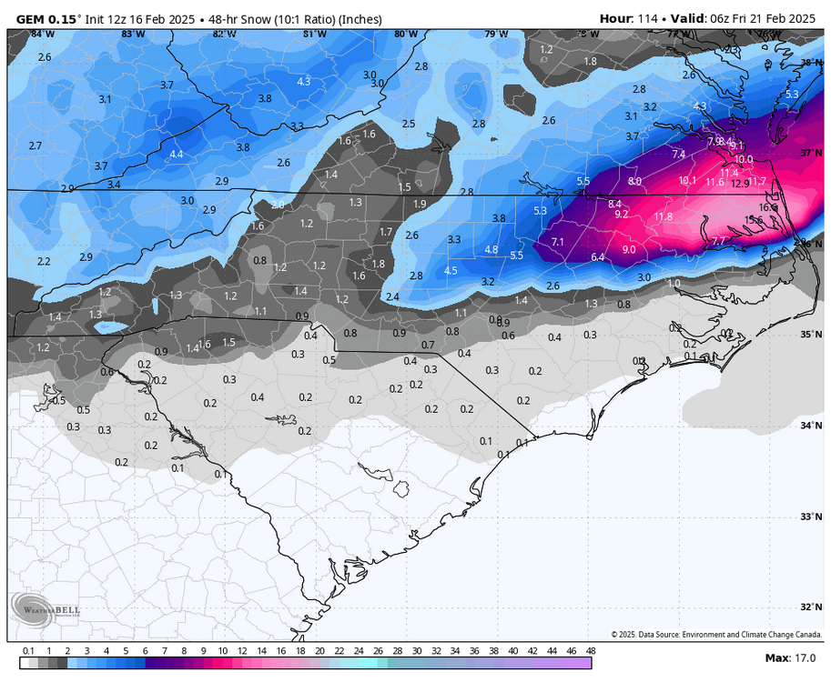
Yeah what a brutal transfer. Wish we could get back to the earlier phase solution but it is extremely unlikely at this point. almost completely blanks Western NC.
-
Yeah models trending flatter and a late phase. Keeps us much drier.


