

Kevin Reilly
-
Posts
2,935 -
Joined
-
Last visited
Content Type
Profiles
Blogs
Forums
American Weather
Media Demo
Store
Gallery
Everything posted by Kevin Reilly
-
A weather outlet had 76 degree dewpoints at the airport at 11 pm. I mean they were off by 10 degrees on the dewpoint. I was sitting at 61 dewpoint at 10:30 pm. That's like not even close.
-
Local News had dewpoints in the 72-76 range for tonight most of the area where is that at???
-

2023 Mid-Atlantic Severe Wx Thread (General Discussion)
Kevin Reilly replied to Kmlwx's topic in Mid Atlantic
I think that would be a warm front pushing NNE the main low is leaving Ohio and moving into Western PA. -
2023 Atlantic Hurricane season
Kevin Reilly replied to Stormchaserchuck1's topic in Tropical Headquarters
There appears to even be a weak low now off the west coast pf Florida not far off of Sarasota too much shear from the Northeast at the moment. -
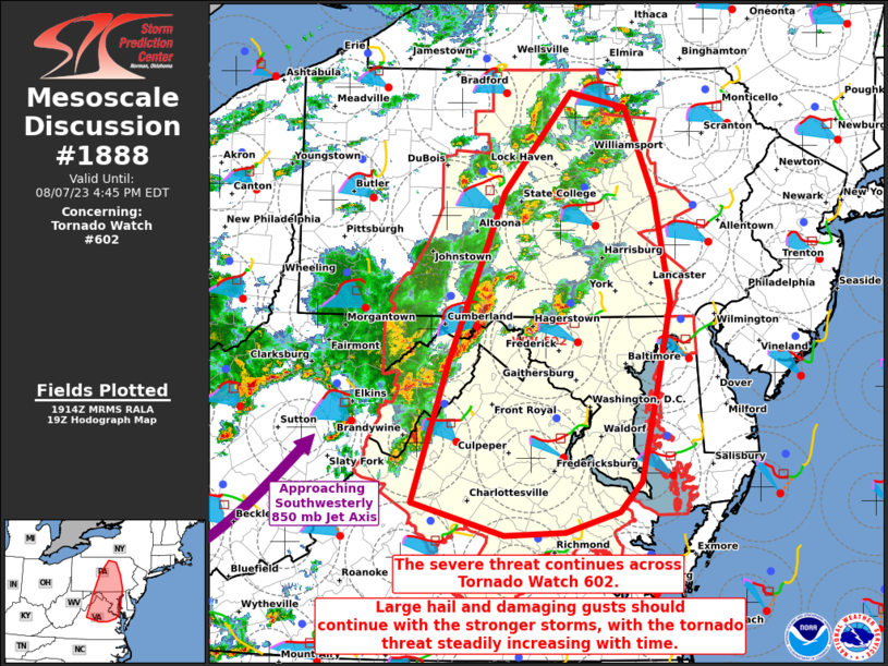
Looks like a mesoscale low leaving Altoona moving ESE very quickly towards Harrisburg definitely severe weather with that pretty good-looking hook.
-
2023 Mid-Atlantic Severe Wx Thread (General Discussion)
Kevin Reilly replied to Kmlwx's topic in Mid Atlantic
The storm south of Pittsburgh looks rough and the one moving quickly towards Altoona, PA -
2023 Mid-Atlantic Severe Wx Thread (General Discussion)
Kevin Reilly replied to Kmlwx's topic in Mid Atlantic
This is incredible how many confirmed tornadoes have we had in the northern Mid Atlantic VA, MD, PA, NJ, DE. This has been a repeating theme all the way back to April.- 2,785 replies
-
- 1
-

-
- severe
- thunderstorms
- (and 3 more)
-
Latest HRRR model has a line coming through between 11 PM and 1 AM on the west side of the Delaware River moving east southeast.
-
Anyone have a total of confirmed tornadoes for this year so far? I mean we had 4 confirmed tornadoes just last week. When I was younger, we were lucky to see a tornado like once every 5 years in the 80's. The number of confirmed tornadoes for Pennsylvania in our area is WAY up!
-
Rain done in Media picked up 0.80" the entire time wind was calm no lightning or thunder except one rumble of thunder to the east with what became the tornado warned storm in Burlington and Ocean County as it pulled away. Currently cloudy 73 dew point 68 pressure 29.79 steady. Skies brightening and as I look at the water vapor map clearing, and dry air poised to sweep in from the northwest. However, with a dewpoint sitting at 68 most likely there will be a quick line of thunderstorms pop up around 4:30 just to the west of the Delaware River before the drier air rolls in after 5:30 pm and moves east bound.
-
2023 Atlantic Hurricane season
Kevin Reilly replied to Stormchaserchuck1's topic in Tropical Headquarters
Here is a question then? Tropical Cyclones are a means to evacuate the building up of heat along and just north of the Equator what will happen in the northern hemisphere come the later fall and winter months with all the record trapped heat air and water? I am going to assume very wild weather events on the horizon October 2023-March 2024. -
NWS is out that way seeing if it was a tornado. Now Media where I am is directly east of Glen Mills and I will tell you I heard what sounded like a jet plane (probably the low-level jet passing above my head) as 60-70 mph winds were ripping through for about 5-8 minutes could have been a remnant of a tornado yesterday.
-
It just came through Media Delaware County winds have just shifted to the NW last 5 minutes sun is out now. I would say the cold front is right on the beaches of the Delaware River heading east into New Jersey fairly rapidly too. The front should clear the beaches along the Jersey Shore by 10 am if not sooner.
-
Still moderate rain and lightning. It now has been raining and lightning since 6:35 pm. We have a 24-hour total of rain here at 2.50" 67 degrees currently. Our next two storms are in the pipeline leaving Montanna into the Dakotas right now and another for the weekend leaving Puget Sound. I don't remember an active patter like this in August. The sky today was hazed up a bit not sure if it was an overabundance of water vapor or Candian Smoke?
-
2023 Mid-Atlantic Severe Wx Thread (General Discussion)
Kevin Reilly replied to Kmlwx's topic in Mid Atlantic
Over up here 60-70 mph winds and dime size hail picked up 1.05" some minor damage. -
Wow that radar is one of the most impressive radar displays I have seen in years. That meso low and the line associated is racing towards the Jersey shore. I had my doubts it would make it further east and northeast. Wrong!! Wow
-
Moderate rain with a bit of neon pick lightning left over. Picked up 1.05" total storm total here in Media 2.10" including last night. Winds were easily 60-70 mph here and we had some dime size hail. Took a ride between here and Springfield power was still on for all some trees down and branches call it minor damage in this part of Delaware County. I am sure the damage will be higher in other parts. I would definitely classify that storm as severe with the 60-70 mph and dime size hail. Pretty quick rise on Crum Creek too here.
-
The sun has vanished here in minutes in Media. Winds have been cranking SSW 25-35. Guess we are about to see what the line has to offer here. Looks like the bow echo is racing ENE and then NE.
-
2023 Mid-Atlantic Severe Wx Thread (General Discussion)
Kevin Reilly replied to Kmlwx's topic in Mid Atlantic
Turning SSE up here in SE Pa -
86 now partly Sunny back and forth pressure 29.76 falling
-
-
I really think the main threat is perhaps SW Delaware County Points south. We already have a stabilizing feature here now with these clouds from about Central Delaware County points east and northeast with all the cloud cover. These low clouds were showing signs of burning off at 7 am but there are firmly entrenched for now.
-
I am thinking most severe weather is going to be SW Chester County points South and West. A few severe storms capable of producing tornadoes could sneak into southern and southwestern Delaware County into points south and west.
-
Currently low clouds racing through 69 right now dewpoint 66. Picked up 1.05" last night first round came through at 11 PM finished up by 1 am a break then got more 2 AM to 4 AM. Round one had some good winds with it 25-35 mph out of the SW no lightning at all with any of that last night.
-
Also, almost always the first round always robs energy from the second round it has happened this year a few times already. I would expect the energy robbing will be problematic also cloud debris could be another issue.
