Jump to content

Buddy1987

Members
  • Posts

    4,215
  • Joined

  • Last visited

Everything posted by Buddy1987

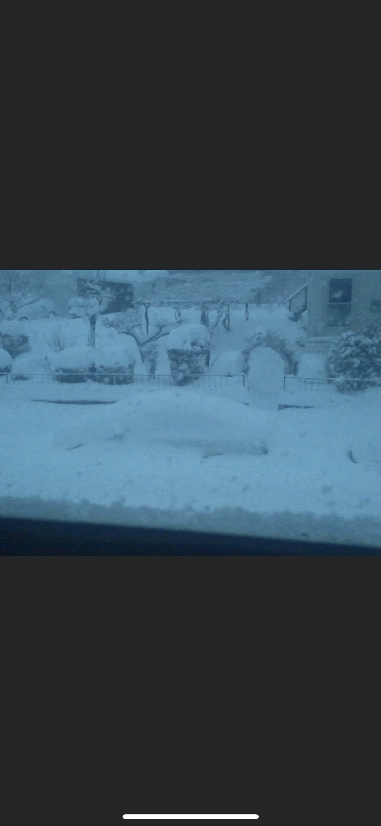
  1. Impressive! I’m up Glenvar side of Salem. Just took lunch here. Easily 1.5” looking out. Driveway and concrete starting to cave somewhat. Great little surprise IMO. Models were back and forth this far north.
  2. Crazy because it’s been moderate to heavy snow for several hours. Funny how these things always work out. Def have a solid inch on grass and building.
  3. Man it is absolutely dumping here. Huge fat snowflakes just sticking to everything minus roads. Very pretty.
  4. Latest HRRR a little more aggressive with the push up toward my door step. Disc did mention that some of the models he can view did show earlier the precip shield expanding a little more than what even some of the public hi res models were showing. Will be interesting because my outlook is zilch up here so anything will be a bonus.
  5. Looks like a push of better moisture further north, thus the “warmer” look to it.
  6. Canadian looks much more appropriate with precip field. Low track just outside of Hatteras or right over usually bodes well for I-40 north, with thermals cooperating of course. Hoping for a surprise here but won’t go off into a JI rage either. Would be nice to get some southeasterly flow to enhance moisture with low still to our south and aid in isentropic lift.
  7. Yea not what I was expecting with beginning of 0z runs... drier overall on front end. HRRR looked good and I would say runs of 0z suites would still be of a meaningful purpose. Anything past 12z tomorrow would pretty much completely switch over to Hi-res
  8. Good 3-6” band along the nc/va border. Low looks a little better for tucked in purposes for areas to the north and west. Even gets me into some decent precip this far out this way.
  9. For once I actually really like the looks of the short range hi res models for this one. 3k nam and rgem look to be painting a best case scenario at least 40 north and then possibly being able to get north of 460 in play. Gfs also playing catch up. Canadian has been the best thus far for our direct area. Wasn’t overly thrilled with this at the beginning but nice to see it may be trending in the right direction for a lot of us on here.
  10. I tend to agree. It’s not like we have some mammoth 1046 HP up in Upstate NY. I will just continue to pray the Canadian and the Para GFS are correct. Wouldn’t want to be @Disc in this predicament. Anywhere from dusting to 6” here ouch lol. NC mountains almost a lock to get smoked!
  11. Lol I had escaped to Naples FL for Christmas. I can tell you though we picked up about an inch from my Ring doorbell cam. Radford and Blacksburg ended up with about 4. The pattern has kind of made me stay away here for a little, looking at the GFS with no snow through like 1/12/21
  12. Do I really want to invest in Sun/Mon? There was a lot of exertion from last storm. Guess that’s why we all enjoy being on here.
  13. Lmao!! I have nothing to spare. I had freezing rain all day and then whatever the hell is out there now. I can send a snowball is what I believe I can muster up. Did you really not get anything up that way?
  14. I actually ended up cashing in on some of the vort swinging through here. Moderate snow for a good while got like 1/2” so it was nice to finally see white falling from the sky and accumulating.
  15. Man what a surprise! In my office went downstairs and it is absolutely ripping out there! Solid 1/2” easily on all surfaces. Nice to see some snow in the end here.
  16. Jonesin for the next one. Didn’t get a single flake but happy for everyone north and west. Long range pattern looks appetizing.
  17. 30.6 Ice accrual is pretty impressive for this time of year. Just a steady light rain sticking to everything
  18. Moderate freezing rain. All elevated surfaces quickly caving and icing over. 30.0/28.2
  19. Good luck up there brother. Hope you get crushed
  20. I already knew going into composing the message someone would point it out hahahaha.
  21. Radar looks like sh*t.. it’s like a convective summer time look with showers. Hopefully northern guys score and it congeals but we’re wasting way too much time down this way. No meatballs inbound from the southern crew.
  22. Bottom starting to fall out. 29/25 has that smell in the air!
  23. I’m just hoping we can bottom out as far as possible here before WAA ensues. 30.7 with dew of 25 so it’s been slowly but surely dropping. Forecasted to get to 30 so we’re close.
  24. Is it me to where the low may be doing wonky things on 0z or is hour 23 on 3k wayyy slower than previous run to where it has low over Hatteras and previous run northeast of Virginia Beach? edit:nvm next hour the low jumps way north and even west. Kind of a weird evolution.
×
×
  • Create New...