beavis1729
-
Posts
2,485 -
Joined
-
Last visited
Content Type
Profiles
Blogs
Forums
American Weather
Media Demo
Store
Gallery
Everything posted by beavis1729
-
Winter 2019-20 Medium/Long Range Discussion
beavis1729 replied to Hoosier's topic in Lakes/Ohio Valley
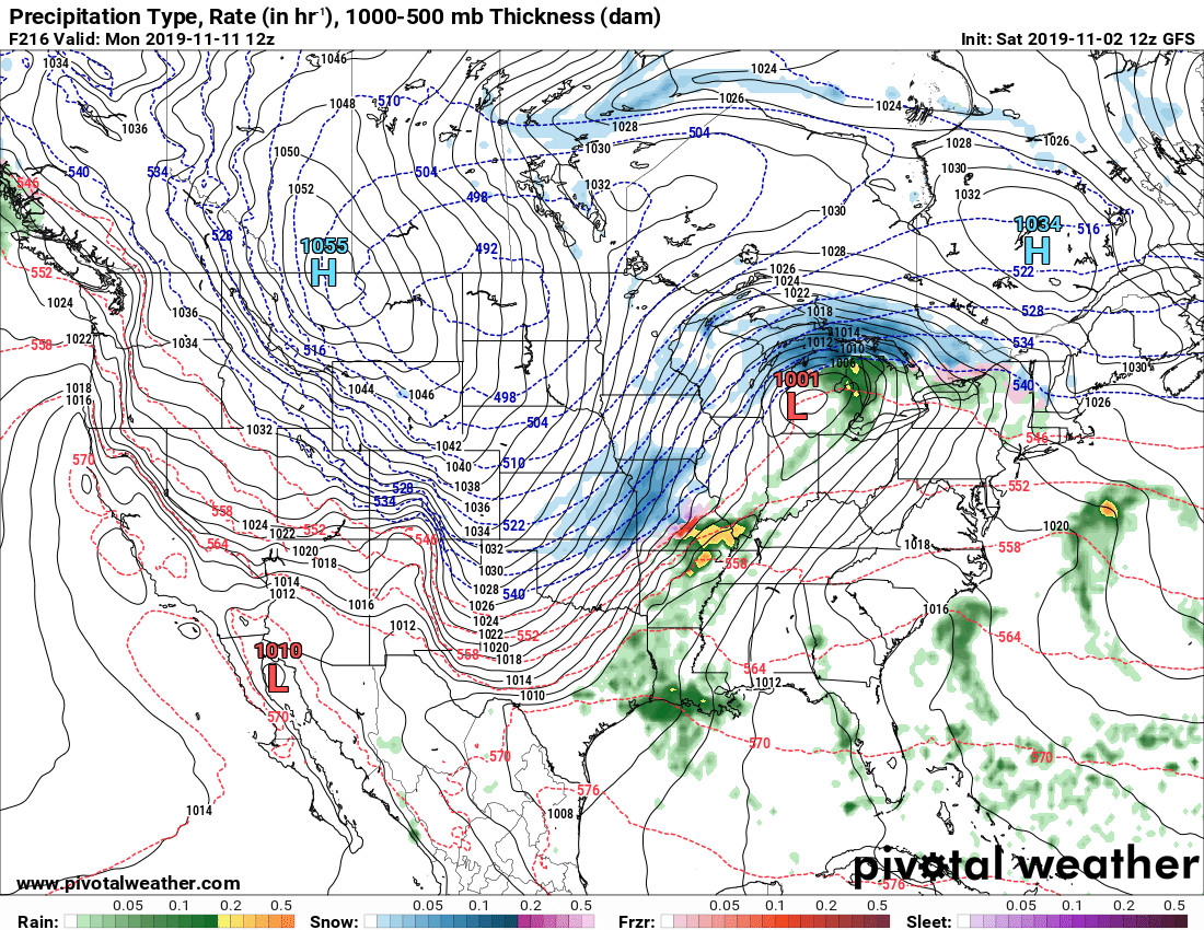
Let's go even further...how about 492: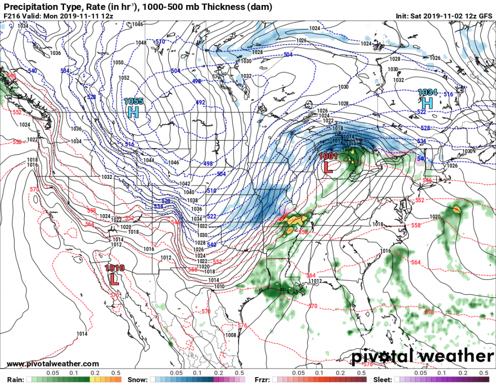
-
Here comes winter -- October 28-November 1 Snowstorm Potential
beavis1729 replied to Hoosier's topic in Lakes/Ohio Valley
Well, for Round 2, the 12z NAM and 3k NAM show roughly 0.6" - 0.8" of liquid in the northern half of the LOT area, between 9 PM tonight and 9 PM on Halloween night. That's the good news, but unfortunately the good news ends there. Given the discussion and model analysis over the past couple of days, you would've thought that Round 2 would be all snow. Unfortunately, based on recent tends, it looks like 50%+ of it will be liquid/mix/35F snow due to contamination of the boundary layer off the lake. And this isn't just for areas right by the lake; it's most/all of the metro area. So, if you figure 8:1 ratios when it does snow at temps that would allow sticking, 1-2" seems like a best case, unfortunately. You just need a million things to go right this time of year, and it just doesn't seem to be happening. If only this were 2 weeks later... Even so, accumulating snow on Halloween is always a bonus, and has never happened in all my time living here. -
Autumn/Winter 2019-2020 Banter/Complaint Thread
beavis1729 replied to IWXwx's topic in Lakes/Ohio Valley
While it will be chilly in these parts over the next few days, some incredibly cold air has plunged into the Rockies and western plains. Denver, as an example... 10/28: New record cold max of 21. Old record was 30 in 1925. 10/29: New record cold max of 19. Old record was 25 in 1993. 10/30: Record cold max is 18 in 2002; record low is 7 in 1991. Forecast is 19/3, so a record low will probably be set. 10/31: Record low is 10 in 1991. Forecast low is -3 (!). All-time October monthly low is -2 on 10/29/1917. Normals this time of year are around 60/30...so there will be 3 days in a row with -40 departures on the high temps. It looks like Cheyenne WY will smash their October monthly record low too. -
MO/KS/AR/OK 2019-2020 Winter Wonderland Discussion
beavis1729 replied to JoMo's topic in Central/Western States
Yikes, the little ones in the northern plains could be trick or treating in bitterly cold temps, if that verifies. Good stuff. Definitely some signs of cold air coming down on various models, for October standards. We will see... -
It dropped to -8 this morning in West Yellowstone, MT. That's insane for October 10th.
-
AFD from Grand Forks Area Forecast Discussion National Weather Service Grand Forks ND 718 AM CDT Thu Oct 10 2019 .UPDATE... Issued at 714 AM CDT Thu Oct 10 2019 Band of showers moved quickly north thru WC and NW MN and wrapped back into the RRV and as it is enountering the colder air trning no snow Devils Lake, Cooperstown area. Radar showing a large ara of snow and rain headed our way. No changes to the fcst necessary in the very shor term. && .SHORT TERM...(Today and tonight) Issued at 351 AM CDT Thu Oct 10 2019 The most difficult snow forecast and highest snowfall forecast of my 30 year career. Hard to believe model data at this point. Chat with WPC and they can`t believe it either, but moisture advection today out ahead of 500 mb short will spread precipitation across the area. Banding has been evident with snow band in western ND into western SD tonight. All signs point to rapid development of precipiatation today as 50 kt low level jet moves into central ND. Rain showers into E ND and NW MN overnight with some thunder at times in MN. This band of rain looks to set up over the RRV today with rainfall amounts today 0.75 to 1 inch possible. Some thunder in west central MN possible. West of the RRV atmosphere will cool as main precip moves in and what could be a mix will go to snow this morning and snow heavy at times this aftn and tonight just west of the RRV. Lift in the dendritic zone would support high accumulation rates esp this evening in the DVL area. .LONG TERM...(Friday through Wednesday) Issued at 351 AM CDT Thu Oct 10 2019 Main upper low will move thru western MN and settle over NW MN Friday night and then wobble around. A very strong def zone will be over E ND Friday afternoon and night with heavy snow and likely very high snow rates...NE ND ...roughly Hallock to Grand Forks to just west of Fargo and west. Very strong winds will develop west of the sfc low which will near the 500 mb low location. Well mixed layer up thru 50-55 kts to mix down Langdon to btwn Devils Lake and Grand Forks Friday into Saturday AM. Net result of all this is will go winter storm warning for the entire event (thru 18z Sat) for eastern ND... will upgrade watch to warning as well Fargo zone and far SE ND mainly for tonight change to some snow but it looks like on southwest side of upper low snow will accumulate more than 6 inches into F-M area more so Friday. Kept winter storm watch bordering main snow band Roseau to Fosston to Fergus Falls and dropped watch far eastern counties as any snow there later Friday into Saturday 2 inches or less.
-
Here is the point forecast for Langdon, ND. 18-32" through Friday, with more snow Friday night and Saturday. Amazing. Brings back memories of the 1991 Halloween storm in Duluth, but this time there's no lake enhancement. Today Snow. The snow could be heavy at times. Areas of blowing snow after noon. High near 33. Breezy, with a north wind 23 to 28 mph, with gusts as high as 39 mph. Chance of precipitation is 100%. Total daytime snow accumulation of 4 to 8 inches possible. Tonight Snow. The snow could be heavy at times. Areas of blowing snow. Low around 28. Windy, with a north wind around 30 mph, with gusts as high as 41 mph. Chance of precipitation is 100%. New snow accumulation of 4 to 8 inches possible. Friday Snow. The snow could be heavy at times. Widespread blowing snow. High near 30. Windy, with a north northwest wind 33 to 37 mph, with gusts as high as 50 mph. Chance of precipitation is 100%. New snow accumulation of 10 to 16 inches possible. Friday night Snow. The snow could be heavy at times. Widespread blowing snow, mainly after 5am. Low around 28. Windy, with a north northwest wind 32 to 39 mph, with gusts as high as 55 mph. Chance of precipitation is 90%. Saturday Snow. Widespread blowing snow before 4pm, then patchy blowing snow after 5pm. High near 32. Windy, with a north northwest wind 29 to 34 mph decreasing to 18 to 23 mph in the afternoon. Winds could gust as high as 48 mph. Chance of precipitation is 80%.
-
Not in our sub-forum...but I can't remember seeing it so dry in Denver. At 5PM local time yesterday, it was 78/-5, translating to RH of 4%.
-
The 6z GFS ups the ante even more, at least for Grand Forks...
-
Of course it’s still early, but I’ve been seeing some hints at a modoki El Niño for DJF, which in theory would be good for many of us. There’s a recent post in the mid-Atlantic forum winter thread on this. Not sure how to link to the image on mobile.
-
Disappointing at ORD, missed the monthly record by a hair. I knew this could happen when I was out for a walk last night around 11:00, and could feel the outflow hit. I'm about 20 miles N of ORD. The temp dropped from 77 to 70 in 15 minutes. But Rockford did set a new monthly high min for October: RECORD EVENT REPORT NATIONAL WEATHER SERVICE CHICAGO IL 0145 AM CDT WED OCT 2 2019 ...ALL-TIME RECORD HIGH MINIMUM TEMPERATURE FOR THE MONTH OF OCTOBER SET AT ROCKFORD IL ON TUESDAY OCTOBER 1... A DAILY RECORD HIGH MINIMUM TEMPERATURE OF 70 DEGREES WAS SET AT ROCKFORD ON TUESDAY OCTOBER 1. THIS BREAKS THE PREVIOUS RECORD FOR OCTOBER 1 OF 63 DEGREES SET IN 1971. THIS ALSO WAS A DAILY RECORD HIGH MINIMUM TEMPERATURE FOR THE MONTH OF OCTOBER. THIS TOPS THE OLD RECORD OF 69 DEGREES SET ON OCTOBER 3 1954 AND OCTOBER 21 1979. THE PERIOD OF RECORD FOR ROCKFORD DATES BACK TO 1905.
-
Looks like the morning low of 73 still held...so far, anyway.
-
In the category of "obliterating existing records"... After the recent snowstorm in western MT, with over 4 feet of snow around Glacier National Park, Cut Bank dropped to 6F on 9/30/19. This shatters the old daily record of 19F set in 1959. This morning (10/1/19), Cut Bank dropped to 1F. The old daily record was 14F, set in 1950.
-
Good call...ORD only dropped to 73 this morning, at least on the hourlies.
-
Yeah, Joliet is 86/73/93.
-
Yep, I think Detroit will stay above 68 overnight. There could be some rain in the area during the evening of 10/1 to drop the temp lower before midnight...but hard to say right now. For ORD, the all-time record high minimum for October is 71, set on 10/1/1971 and 10/4/2005. Just last year, the min was 70 on October 9th. Even more remarkable, the min was 70 on 10/21/1979. I had to triple-check, but it looks accurate. That is unbelievable. The more I look at the numbers, Chicago can still experience some surprisingly warm temps in late October. The record high on Halloween is 84, set in 1950...which is about 30 degrees above normal. I think ORD may be 70+ tomorrow morning...but just like Detroit, it may rain during the evening of 10/1 to spoil it.
-
Although it’s technically in MT instead of WY, the West Yellowstone area is beautiful. I was there in early June. Mild to warm days, with cool nights. Nearly every night drops into the 40s or lower, even during the heart of summer. If you like winter, it’s a paradise. Nearly 150” of annual snowfall, with 5-6 months of snow cover in most years. I think the normal high/low in January is around 20/-5, with temps easily hitting the -20s or lower during the colder periods. And the scenery is amazing, especially compared to the suburbs of Chicago. Agree about low property taxes; I noticed that when looking at homes out there too. Not sure about other economic opportunities, as my focus is on retirement considerations in the next 5-10 years.
-
Looking at the daily data for Machias, snow depth was 0” on January 24th, then increased to 74” by February 16th. Wow. Snow depth was still 62” on March 4th, and finally melted out on April 18th.
-
Spring/Summer 2019 Complaint/Banter Thread
beavis1729 replied to HillsdaleMIWeather's topic in Lakes/Ohio Valley
Tampa FL had a low of 84 this morning, and it will probably hold through midnight since no rain is expected. This would be their 2nd warmest min on record; the highest is 85 on 8/27/2011. Currently in Tampa (10 AM local time), it's partly cloudy and 87/79/101. Just brutal... -
Spring/Summer 2019 Complaint/Banter Thread
beavis1729 replied to HillsdaleMIWeather's topic in Lakes/Ohio Valley
Phoenix is 92/66 at 6:00 AM local time...yuck. The high yesterday was 107, with a min of 88. -
Spring/Summer 2019 Complaint/Banter Thread
beavis1729 replied to HillsdaleMIWeather's topic in Lakes/Ohio Valley
Yeah... Midland TX (MAF) is up to 112, which is a new August monthly high. Records go back to 1930. The old August monthly high was 108, and the daily record high was 103 (!). There have only been two higher temps on record: 116 on 6/27/1994, and 114 on 6/28/1994. Edit: MAF hit 113. -
Spring/Summer 2019 Complaint/Banter Thread
beavis1729 replied to HillsdaleMIWeather's topic in Lakes/Ohio Valley
Not in our area...but all-time record high temps are possible in western TX today. From NWS Midland: Let`s cut to the chase this morning - it`s going to be extremely, dangerously hot today. An Excessive Heat Warning remains in effect for the entire area, with the exception of only northern Lea county, the mountains of West Texas and Southeast New Mexico, and the Presidio Valley, where Heat Advisories are in effect. Temperatures this afternoon will soar into the 100s areawide (you won`t even be able to get away from the heat in the mountains today), and records are expected to fall. Yesterday, Midland set a new record high temperature for the month of August of 108 degrees, and today`s forecast high of 113 would easily top that, as well as be the hottest temperature we`ve ever had this late in the calendar year. For a little perspective, if we hit 113 today, it`ll be Midland`s third hottest day on record, beaten only by June 27th and June 28th 1994 (116 degrees and 114 degrees, respectively). We cannot stress enough how dangerous today`s heat will be, and encourage everyone to follow heat safety rules, and be cognizant of the symptoms and dangers of heat related illness. Per this morning`s water vapor imagery, an elongated ridge of high pressure remains anchored over the region, with a deepening trough extending from the Upper Midwest to the central Gulf Coast. An 850hpa thermal ridge will help drive temperatures up this afternoon, with latest guidance indicating 850hpa temperatures of around +33C to nearly +37C by later today. The NAM and GFS came in closer to the warmer ECMWF guidance for temperatures aloft, though at the surface, per Sunday`s verification, guidance has continued to under-forecast high temperatures. Have continued to lean toward the warmer ECMWF guidance, with deep mixing expected to yield surface temperatures this afternoon of 105-115 degrees across lower elevations, and 100-105 degrees across the higher terrain. -
Spring/Summer 2019 Complaint/Banter Thread
beavis1729 replied to HillsdaleMIWeather's topic in Lakes/Ohio Valley
I echo that. -
Spring/Summer 2019 Complaint/Banter Thread
beavis1729 replied to HillsdaleMIWeather's topic in Lakes/Ohio Valley
A nice tribute to Amy Seeley, from NWS LOT: https://www.weather.gov/lot/AmySeeleyTribute -
INL dropped to 37 this morning. This broke the daily record of 38, set in 1898 (!). Normal low for July 30th is 53. It was a "perfect storm" of conditions...cloudy all day yesterday with temps in the mid 60s until sunset, then it cleared out with light winds and temps dropped quickly.