wx2fish
-
Posts
2,487 -
Joined
-
Last visited
Content Type
Profiles
Blogs
Forums
American Weather
Media Demo
Store
Gallery
Everything posted by wx2fish
-
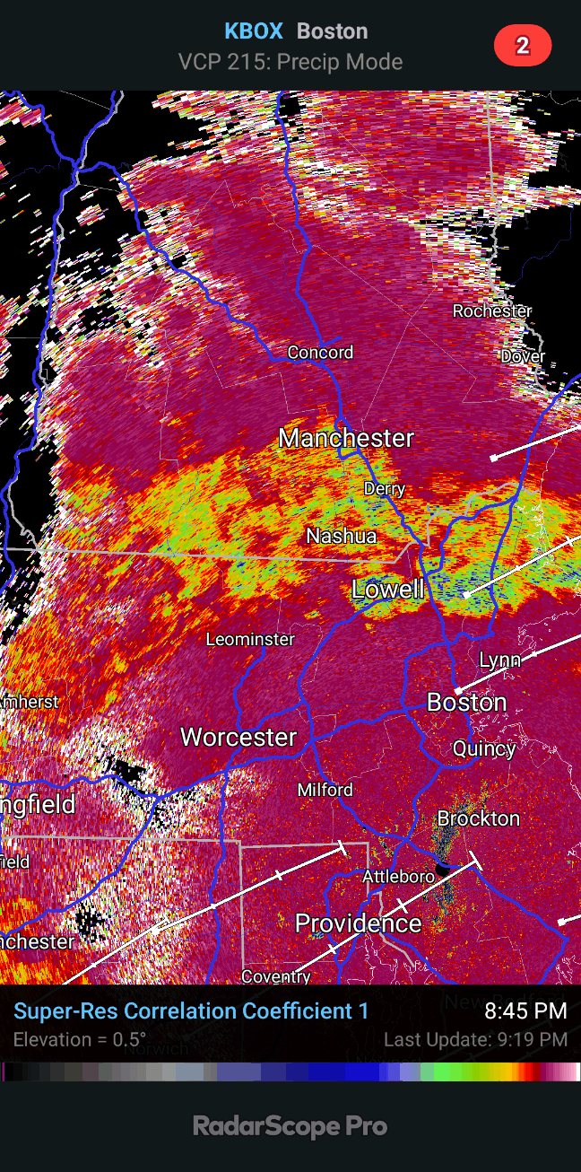
Thats one juiced up radar for the next 3-4 hours
-
For whatever reason they always seem low. I always double check my obs against the Hudson coop because hes usually close to mine. He's at 9.1"... either way its been pathetic.
-
Flakes still really rimed and icy but better than when it first flipped. 32.4 with everything coated
-
Looked out and it's mostly wet snow. CC on target.
-
Definitely some washing out on CC thr last few frames across SNH. Well see if it continues.
-
Yeah 3-6z drops alot of qpf. Even the NAM is crashing the snow line into E MA by 6z. We shall see.
-
Paint peeler at the moment
-
That stuff from SW CT back to west of PHL should blossum as it moves NE. Popping a few strikes west of PHL. Thatll make or break salvaging the overnight stuff.
-
I'd be leary slashing that far into NH this early. Could pull that just tomorrow. If radar is still flaccid at 10pm maybe
-
Light Sleet/rain mix. 33F. A whole 0.02" through the Davis so far. Well see what happens with some better lift in a bit.
-
Back to a very sleety snow. Can see the oscillations on CC. Rates are pretty still light up this way
-
Steady light snow here about 7 miles north of the MA border
-
Flipped to mostly snow with a few pellets. 35f
-
It's really after 7pm or so around here that the better lift arrives. It's near 0C now at 850 so not really surprised it's sleet/rain. It's later this evening when it'll really be make or break
-
Real tough call from ash to my area. Maybe something like 2-4" tonight and hope for another 1-2" midday tomorrow. Gradient may be very tight tonight. I'd lean lower end and be happy if it breaks the other way.
-
I like to use it for trends, but overall agree it can jump wildly. We use it alot for aviaiton purpose for cig/vis/TS. This is getting inside 4-5hr now though so hopefully it has a clue.
-
Hrrr has been trending a little better with that initial pulse. 16z run is trying to flip the pike region for a bit.
-
Gonna be very wet and sloppy tonight, maybe even some sleet in there. Theyll be a break with drizzle late night/early morning. The midday stuff tomorrow will be a little drier.
-
12z hrrr looked maybe a hair colder on the front end, but a definite improvement with the stuff tomorrow, mostly north of the pike
-
Yeah hrrr kinda hints at it, but still colder than the nam. The euro soundings I have are too course to really see if it has anything in that layer. I think south of MHT will struggle initially too until we get decent lift. Elevation will help for atleast the first couple hours.
-
Nam is definitely the warmest, little warm nose up around 750, and it pushes it up into the NH border region for a couple hours. Northern edge will probably fluctuate with lift, but something to watch on the 12z runs.
-
Yeah agree. I think for more than just more localized amounts over 6" the Friday stuff will need to come in robust.
-
Hrrr is super juiced up. Hard to buy that kind of qpf in these, but well see. Pushing 1.25" in SNH in like 8 hours
-
Was wondering how it looked, pivotals maps are all blank