wx2fish
-
Posts
2,487 -
Joined
-
Last visited
Content Type
Profiles
Blogs
Forums
American Weather
Media Demo
Store
Gallery
Everything posted by wx2fish
-
3hr qpf looks so weird. 3k looks more solid again
-
And he's probably getting more than 6"
-
3k looks good, pike north into SNH
-
Euro is definitely more juiced than 06z on the low res graphics
-
It was a Flop... February 2024 Disco. Thread
wx2fish replied to Prismshine Productions's topic in New England
Gonna be a weenie clown map worth hanging on the wall on that run -
Looks like the alot of the whites are flipping over now on CC
-
Steady rains 34F. I remember when the euro had 55F to MHT today
-
Had some clearing here earlier and radiated down quickly too. Bounced back up some now that it's clouded back up
-
It was a Flop... February 2024 Disco. Thread
wx2fish replied to Prismshine Productions's topic in New England
Well if we can manage to grab a pack, the euro op would be a good way too keep it into Feb -
Yeah in theory those should be better. They can still be too heavily with light precip but there's alot more logic in there to reduce accretion rates
-
That map may just be 1:1 ratio too. Not 100% sure. I wish the FRAM maps were more readily available
-
Gfs is definitely warmer aloft than the nam/hrrr, but still cold at the surface. Pretty icy look for central NH maybe down into the monads, even gets borderline down to near MHT at times around 32-33F.
-
Nice. Hopefully melt it off today. Hrrr and nam are real close to flipping your area over to snow tomorrow. Looks pretty crappy right into sat. Could even see some fzdz down here and into the orh hills sat am.
-
Yeah this run is much slower. Even BOS is pushing upper teens when it's stops snowing
-
Hudson coop avg is 28" ytd. Not a super long period of record but Im usually within a few inches of their totals seasonally. So, I've slipped back a few inches. 23.3" ytd here.
-
Gfs actually doesn't look terrible Tues night for a couple inches. Still full on wedge the rest of the week
-
Pretty gross run for most of the week. Cloudy and wedged for days. Hopefully we can trend qpf up Tues night
-
Euro looked better than gfs for the early week stuff. Gfs going weenie beyond that toward the weekend
-
-PDO has had a role in this sub par stretch imo
-
Atleast we have high pressure and cold in Quebec modeled. Doesnt have to always be perfect to snow, esp with latitude. Unlike many of the setups the past 2 years, next week won't have a 970 stemwinder over DTW and a high over Bermuda
-
Another monster high late week on this gfs run. Hopwfully we can keep things interesting.
-
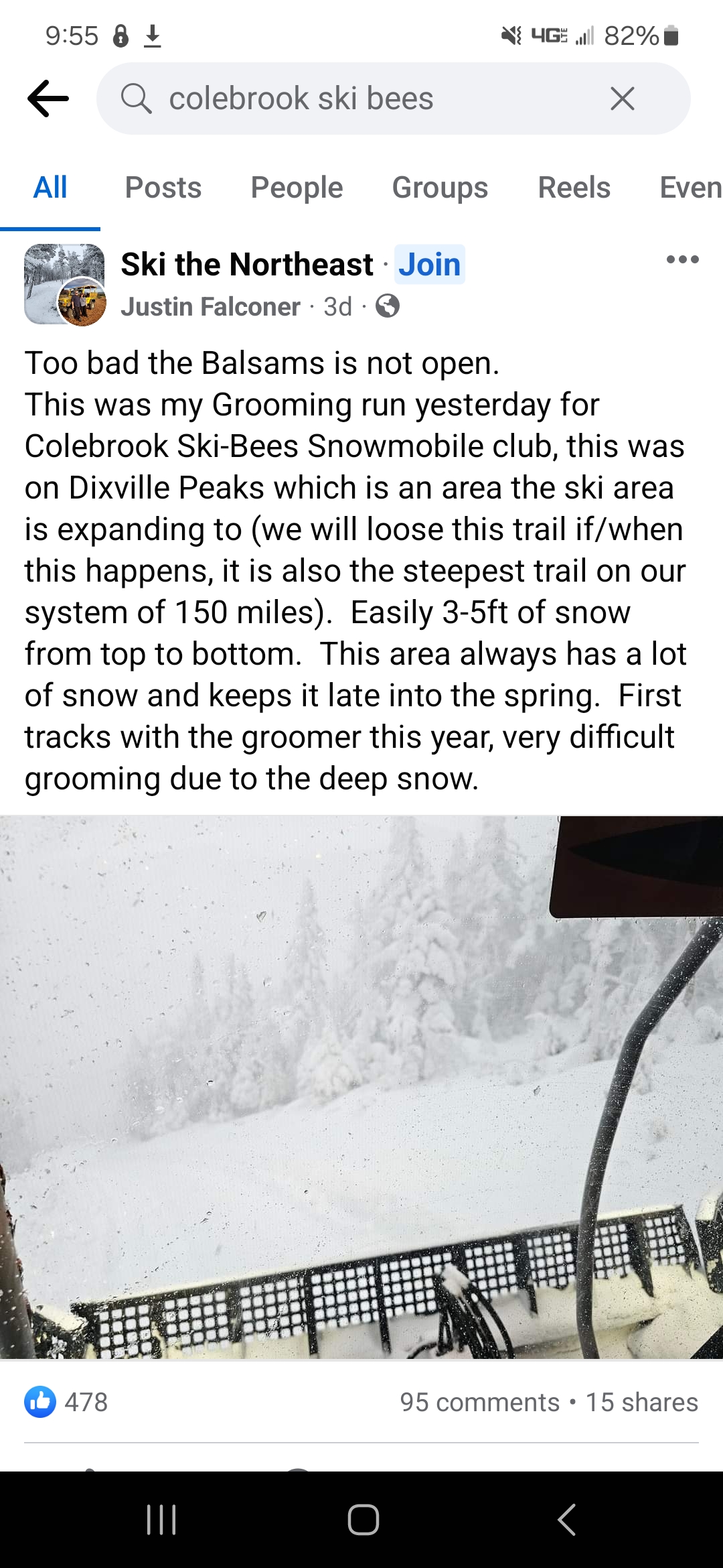
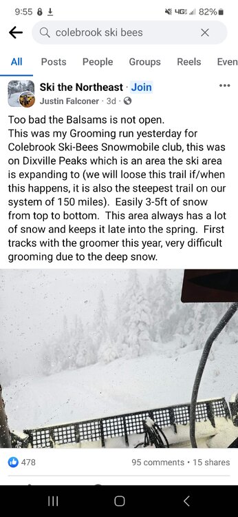
Despite all the big plans I wonder if they will ever get Balsoms open again. It would easily be the snowiest resort in NH, and up there for NE
-
I think its more a lack of observations up there. That data set always seems to be low in NW ME, even on the daily time scales. Same for the non downslope areas of NNH.
-
For the strip from your area up to me it could be alot worse. Temps and cutters have sucked, but we are within a couple inches of normal snow year to date now, despite punting Dec. One big event can skew things quite a bit
-
At least it's something - Jan 16th Snow/Sleet/Ice OBS Thread
wx2fish replied to The 4 Seasons's topic in New England
3.8" combined snow/sleet with some freezing drizzle on top.