

wx2fish
-
Posts
2,487 -
Joined
-
Last visited
Content Type
Profiles
Blogs
Forums
American Weather
Media Demo
Store
Gallery
Everything posted by wx2fish
-
It was a Flop... February 2024 Disco. Thread
wx2fish replied to Prismshine Productions's topic in New England
Clearing pretty quick now from west to east. Plenty of sun here on the otherside of Rockingham Co now -
That data is a dynamic blend of globals and ensembles at that range. It gets a good deal of met attention in the shorter range, but its mostly automated that far out. The same data goes into the TWC app
-
It was a Flop... February 2024 Disco. Thread
wx2fish replied to Prismshine Productions's topic in New England
Hopefully that weak system coming out of NY doesnt throw a wrench in sat afternoon temps. Euro is slower and really mixes things out, but the gfs and nam are quicker with the clouds/showers. -
It was a Flop... February 2024 Disco. Thread
wx2fish replied to Prismshine Productions's topic in New England
Yeah me too. I didn't dive into any data on ECs site though, just a quick google search. -
It was a Flop... February 2024 Disco. Thread
wx2fish replied to Prismshine Productions's topic in New England
I did a quick search the other day because I was curious. From what I found, around 110". -
It was a Flop... February 2024 Disco. Thread
wx2fish replied to Prismshine Productions's topic in New England
Yeah last year May,June, Aug were BN at MHT. We just furnaced the winter months. I'm hoping for AN with normal precip. We don't need a repeat of last year. -
It was a Flop... February 2024 Disco. Thread
wx2fish replied to Prismshine Productions's topic in New England
Euro would be a furnace Fri and Sat. Pound the over on 2mts with that look. -
It was a Flop... February 2024 Disco. Thread
wx2fish replied to Prismshine Productions's topic in New England
Down here Jan went +4 to +5 at CON/MHT and last year ran +8.9/+9.1. As warm as this Jan was its pretty amazing last Jan was almost 5F warmer across SNH. Ironically, both months above average for snow. -
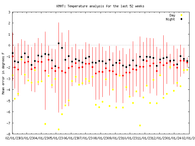
Yeah its weird. Sometimes it'll be running closer to surrounding stations, but those near 32F events it really shows up.
-
I've noticed MHT is running warm since last year, but it seems to mostly show up when it's saturated. This past event the airport got 6" and never went below 34F. Consistent with a +1.5/+2.0 bias on Gladstone.
-
It was a Flop... February 2024 Disco. Thread
wx2fish replied to Prismshine Productions's topic in New England
I was just looking through some of this data too, I didn't realize how crappy it's been around MSP this year. Only 7.3" ytd, and +12,+4 for Dec/Jan. -
They did well on the margins, but way too light in the banding/elevations. Some of those were giving AFN 2-3". Some kind of combo is probably the best. Maybe using them as the lower end of a forecast range.
-
There's a decent gradient around here. 2.5-4" in my yard, but I see 6-7" reports a few miles away in East Derry/Chester. Northern part of Windham probably has 1-2" more than me. 300-350' or so seems to make the difference too in these, I'm only at 250'.
-
3.3". Exit 3 north did better, especially with little elevation. My non slant sticking cousin said 6" in MHT.
-
~1"... I'd imagine the elevated parts of Derry/Chester are doing pretty well, more in the center of the banding
-
Probably...I'm still sneaking into the banding, its ripping here...but the best is NW. Hopefully back builds south some. Might also fill in a bit from the south in a bit.
-
Maybe New Ispwish area? HRRR is probably overdone, but the 22z run goes wild with qpf in SNH this evening. Drops 3/4" around MHT
-
Finally picking up a bit with the heavier echoes moving into NH. Coating on everything, but qpf in general has been anemic. 0.14" through the Davis
-
It's almost like a coating of sleet here. Flakes have been really rimed. I think its largely meh here until 5-6pm, and then it's make or break if we're gonna grab a few inches.
-
700mb dry slot never makes it north of route 2, but 500mb blows into CNE for a few hours. I think precip will regenerate north or route 2 into CNE, but the dgz is pretty high. Probably crappy sleety flakes until it resaturates this evening/overnight. It's why the HRRR ptype maps are showing sleet into NH later this afternoon. Warm layer aloft is gone on the soundings, but the dgz is drying out from above.
-
Had some mix early, but over the wet snow now
-
Nam going wild on qpf with the initial band
-
For you and me, Im most concerned with getting good forcing and enough qpf. Soundings are good enough if we get decent lift, but if were scrapping out like 0.3" qpf over 12 hours like the 18z euro, it's not gonna cut it. I'm not far off your thoughts though around here, been thinking 3-6".
-
We are definitely running above today, so I could see spots tickling it. I'll give you that. I live in Rockingham and hit 37 yesterday
-
Outside of fake midnight highs, nobody in NH came close to 40 yesterday but PSM


