

2001kx
-
Posts
2,261 -
Joined
-
Last visited
Content Type
Profiles
Blogs
Forums
American Weather
Media Demo
Store
Gallery
Posts posted by 2001kx
-
-
The roads caved here for a bit this morning.
-
 2
2
-
-
1 hour ago, Bubbler86 said:
And the NWS dropped the ball again with no WWA for you!! :-)
1 hour ago, Voyager said:Are you going to shovel that or just sweep it aside?

-
Its piling up
")
This may be the 2nd largest snow of the season lol
-
 1
1
-
-
Thermometer shows 48 degrees and its snowing (flurries).
-
A rare white rain sighting
-
1
-
-
Really windy but not much rain with that storm..Very short lived as well.
-
Severe thunderstorm warnings up my way.
Thats all i need is high wind with how saturated the ground is right now...
-
Back to mud.
-
1
-
-
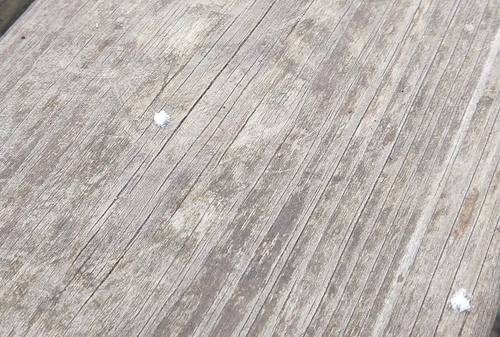
The mud is turning white here.
-
My neighbors house from the storm yesterday.
-
1
-
 1
1
-
-
1 hour ago, canderson said:
Radar was impressive up your way.
Just a little rain and some wind here but it’s been windy since last Thursday so whatevs.
Yeah wasnt really expecting it.
-
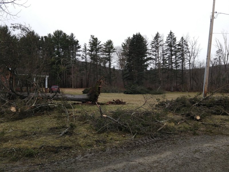
Lots of lightning and wind with a storm that rolled through...uprooted a tree in the neighbor's yard.
-
2 hours ago, MAG5035 said:
I'd say the potential system near the 6-7th represents the best chance of anything that may materialize as a northern branch wave drops in and look to maybe phase. Seemed like roughly 1/4 of the members on each ensemble showed 2"+ at MDT with some bigger snows in there bumping the mean up. Think the 12z Euro ensembles for instance had something like 14/51 members with 2"+ with 4 having more than 6". It's a half decent signal at that range but I see the same base issues though stemming from our dominant pattern of anomalous low heights over the pole with a high northern branch and progression. The northern wave does seem to drop down with some amplification and a pretty good signal of phasing on the models, but not enough for my liking.. and too late. Wavelengths are shortened but it's too progressive with no blocking downstream or up top. Unfortunately I think New England is better positioned to get something out of this. Very short window for this to materialize for anyone as the cold coming in with this is in and out rapidly.
Did not like the long range on the ensembles as the PV over the pole remains strongly in tact with general troughing near the west coast (quietly a pretty solid -PNA forecasted) and consistent central Pac ridging. As such all the ensembles show above normal heights in the east in the longer term. We look closer to early spring fling than scoring a winter storm with a look like that. This stuff over the pole staying business as usual throughout the model runs pretty much play into my worry of this very dominant pattern not breaking down til it's too late.. or at least late enough that it makes things much harder for us to score anything climo wise.
It'd take a storm of that description for me to consider the winter maybe at least a little bit salvaged haha. And you better not leave @Wmsptwx and esp @2001kx out of this. You think I'd boycott the storm if it missed me? Haha

-
26 minutes ago, MAG5035 said:
Nice haha. Judging by the satellite it looked like the more organized band you were under had a Huron connection to it, which is typically a way to send more significant lake snows deep into C-PA.
Yeah i was lucky today...2" is a big deal this year unfortunately...but i'll take it.
-
.......................

-
1
-
-
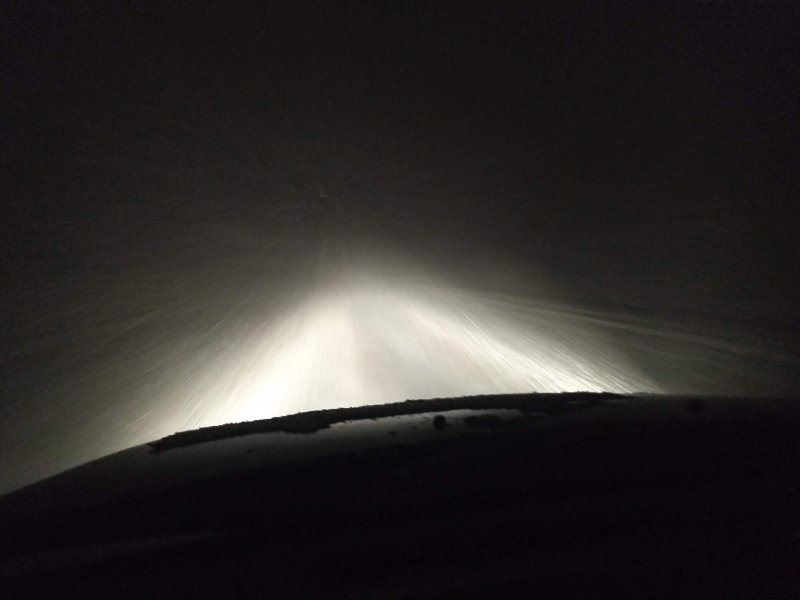
Dumping snow here..around 2" so far
-
Nice squall coming through...

-
2
-
-
6 hours ago, paweather said:
WXRISK and if follow DT out of control l. :))))) Enjoy their digital snow
huh?
-
3 hours ago, Atomixwx said:
Dude. Why you gotta make it about race?
Ok the white ice was bad too
-
1
-
-
Lots of black ice this morning.
-
The ground is whitened here...
-
1
-
-
53 minutes ago, Voyager said:
I'd travel for palms, you guys travel for plows...


Me too...the older I get the more I want to move to florida.
-
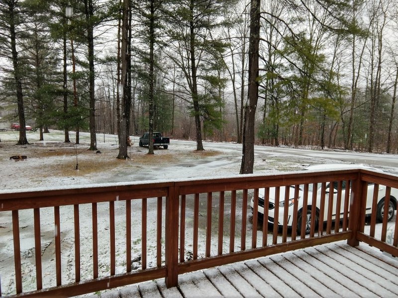
Snowing nicely here with a fresh coating on everything
-
4 hours ago, Atomixwx said:
In Altoona where civilization exists. That's Clearfield. There's nothing there.

Central PA - Spring 2020
in Upstate New York/Pennsylvania
Posted
Seems like when i was a kid it was never windy enough to fly my kite but now it never stops.