madwx
-
Posts
2,311 -
Joined
-
Last visited
Content Type
Profiles
Blogs
Forums
American Weather
Media Demo
Store
Gallery
Everything posted by madwx
-
May 15 with a slow phase in after that, then maintaining a baseline of social distancing for around next year. Any time we can buy to get better treatments/therapeutics more widely available is essential. We've done a pretty good job flattening this first wave but we need to be prepared for waves to come again later, especially if we relax social distancing too much.
-
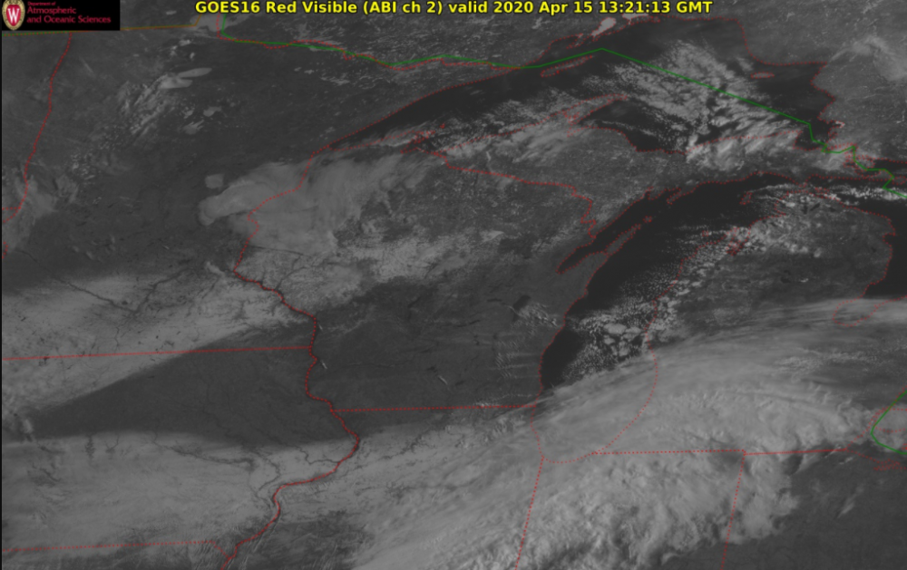
looking pretty good already. you can also see some lake effect clouds off the Madison chain of lakes, Lake Winnebago and even the Mississippi River
-
yeah unfortunately fast food is one of the only options for lower income people who are working extended hours during this time, and agreed on alcohol withdrawal. I don't think people realize how many americans are physically dependent on alcohol
-
looking like no snow except for some snow showers possible during the week
-
been a couple flurry storms so far, 40 mph + gusty winds precede each one and blow the neighbors lawn furniture around a bit. strongest one of the day about to hit here
-
Snow showers imminent. Winds getting very gusty outside
-
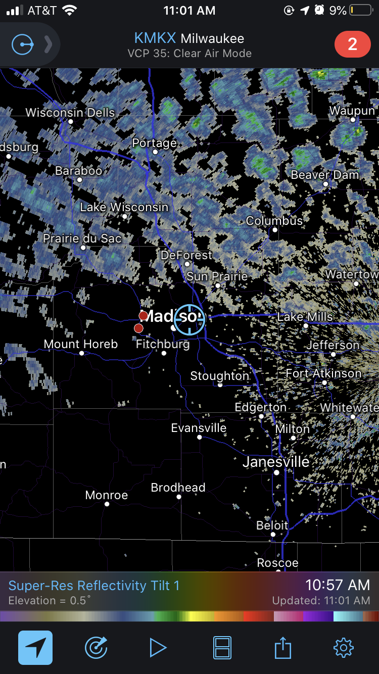
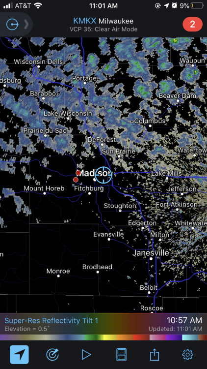
cumulus already developing quickly across southern Wisconsin, this is gonna be a fun ride today
-
yeah the HRRR is hitting the rain/snow shower pretty hard throughout the upper midwest. Wonder if we could get some graupel with these storms
-
no, he's calling the SPC forecast a bust, especially the day 2 afternoon outlook
-
Yep, meant to say RGEM but mistyped.
-
Big win for the ECMWF and RGEM with this system.
-
3" hail with the supercell when it was in Southern Wisconsin
-
almost full sunshine except for some altocumulus racing northeastward, dews up to 60 and temps near 70. it feels nice to have spring weather with a legit chance at thunderstorms
-
not gonna lie these mid level lapse rates are bonkers. would love to see this more often this spring/summer. I think there a good chance for some 2"+ hail especially early on in the development from these storms.
-
still think there may be a good shot for sfc based convection in Wisconsin tomorrow along the cold front. Decent signal from about half the CAMs and the forcing and instability is there as long as the cap can be broken. who knows, maybe i'm being overly optimistic
-
And of course the Supreme Court blocked the order so the election is on again
-
yeah not sure why Northern Illinois was basically completely removed. HREF probs look pretty good for storms in the area and there will be a front moving through at peak heating.
-
Gov. Evers issued an executive order pushing the Wisconsin election back to June 9th. Great news as I was worried that in person voting tomorrow would cause a great deal of spread in the state
-
at least the models are staying true to their form in this crazy work. usually a middle ground between the two is the way to go, maybe a slight lean toward the HRRR
-
the 0z 3km NAM is a step in the right direction, slowing down the wave and having slightly more realistic boundary layer heating. The WRFs seem to be convecting over Southern Wisconsin/Iowa in the late afternoon. Slightly intrigued by the setup. Think there could be some severe in Wisconsin, especially if the wave stays a bit slower.
-
I’m pretty sure this is a fake chart. Here is a screenshot from cdc.gov with the total pneumonia and influenza deaths
-
its also because most people with mild to moderate symptoms are not going to get tested a second time to see if they are negative for the virus so theres no easy way to add them to the recovered statistic
-
Madison had its 13th warmest and 17th wettest March on record. Only 2.8" of snow for the month.
-
Now that the decade of March is over with it's time to look forward to the eon of April. Looks to be starting off on a warming trend for the region with storminess becoming more common from Friday through much of next week.
-
looks like some lake effect showers moving into Chicago. Today looks like the dreariest day for awhile. Nice warm up for the end of the week