madwx
-
Posts
2,260 -
Joined
-
Last visited
Content Type
Profiles
Blogs
Forums
American Weather
Media Demo
Store
Gallery
Everything posted by madwx
-
yeah even the GFS extended has flipped and does not look bad at all
-
Most weather data comes from satellites these days
-
it went from 1285 with 12 deaths yesterday to 1535 and 16 deaths today
-
Overachieving up to 43 here today. This mornings snowfall is a distant memory. Looks like a roller coaster of temps between about 40-50 this week for highs and then rising to the upper 50s to lower 60s this weekend.
-
And just like that all the snow has melted except the preexisting piles and patches. The old snow has some staying power but thinking all but the largest piles will be gone by this weekend.
-
just picked up a quick 1/2" with snow showers this morning. Sun should come out soon and melt most of it. Looks like another clipper moves just south of us overnight tonight bringing snow to northern illinois
-
As we wrap up February and met winter, I'm going to throw together some preliminary stats for the month and season, I'll update again in a few days but only the temp rankings should change For Madison this is: 51st warmest February at 23.4 F 56th driest February with 0.94" 22nd snowiest February with 13.3" For the Winter: 12th warmest Winter at 26.7 F 75th wettest(or 78th driest) winter with 4.20" 36th snowiest winter at 35.0"
-

Mid-week potential of something somewhere
madwx replied to Chicago Storm's topic in Lakes/Ohio Valley
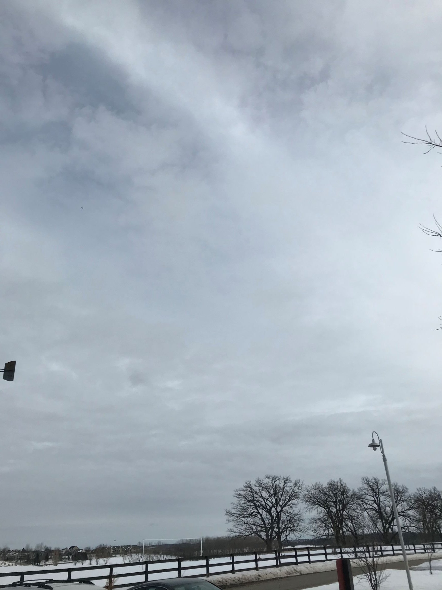
she's a beaut, just a few too many altocumulus blocking the view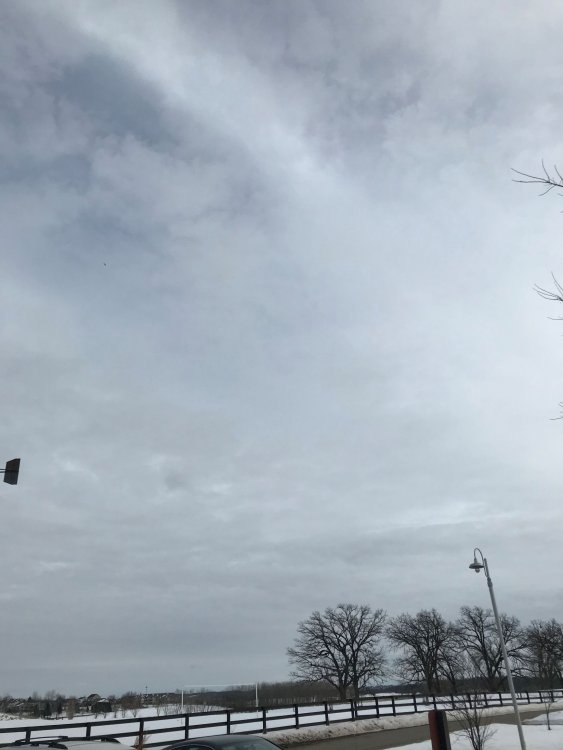
-
Yeah Madison is 10.9" above average since July 1 but 0.7" below average since December 1st. Only 2.9" between Dec 1 and Jan 10, Basically the first half of met winter had almost no snow.
-
Mid-week potential of something somewhere
madwx replied to Chicago Storm's topic in Lakes/Ohio Valley
Not a bad canopy today. A few cumulus/stratucumulus at times and the sun is even peeking out. -
pretty impressive to see tornadoes right up against Lake Michigan that early in the season. Definitely have positive feelings about this severe season. the jet has been ripping along so far and if continues into spring that will help promote increased shear and less meridional flow which will lead to more turning with height. Have seen 1990 thrown around as an analog and seeing some similarities in the March pattern(1990 also feature a double spike of extremely high AO values in February). Have also seen 1991, 2007 and a few other years thrown around that would portend average to above average tornado risk this spring. Personally I'll be out chasing the last 10 days of may so hoping for an active stretch then.
-
March(and spring!) is around the corner. The month looks to start off with a warming trend and then gets active with a few SW flow systems rolling through the area around the middle and end of next week.
-
Mid-week potential of something somewhere
madwx replied to Chicago Storm's topic in Lakes/Ohio Valley
I actually think its the forecast snowfall amounts in the grids from each forecast office. Which had their last major update about 3 am. But in this case you should either create your own graphic for this situation or do something else to explain the situation because these are going to be drastically different in an hour or two -
Mid-week potential of something somewhere
madwx replied to Chicago Storm's topic in Lakes/Ohio Valley
the NWS twitter account just sent out graphics showing 4" in Madison and 7" in Milwaukee LOL not a good look -
Mid-week potential of something somewhere
madwx replied to Chicago Storm's topic in Lakes/Ohio Valley
GFS finally fully capitulated, down to less than an inch here on all models. Was looking back and at the 12z run two days ago the GFS had a 15" jackpot in green bay. Not the best winter for our hometown model. -
Mid-week potential of something somewhere
madwx replied to Chicago Storm's topic in Lakes/Ohio Valley
Eh we've been pretty lucky overall this winter with a few overperformers and deep snowcover for about the past month. Also my mind is switching to spring mode so by the end of this month I'm rooting for warmer weather and thunderstorms vs cold and snow. -
Mid-week potential of something somewhere
madwx replied to Chicago Storm's topic in Lakes/Ohio Valley
The trend downward here continues on the GFS. Still warning criteria but losing about 2” per run -
Mid-week potential of something somewhere
madwx replied to Chicago Storm's topic in Lakes/Ohio Valley
Kuchera is actually better than the standard 10:1 because its actually showing lower ratios which are much more realistic for this storm, -
Mid-week potential of something somewhere
madwx replied to Chicago Storm's topic in Lakes/Ohio Valley
3km NAM is a bit healthier into Southern Wisconsin -
Mid-week potential of something somewhere
madwx replied to Chicago Storm's topic in Lakes/Ohio Valley
Some areas with Winter Storm Watches in Wisconsin get 0 snow with the 0z NAM -
Mid-week potential of something somewhere
madwx replied to Chicago Storm's topic in Lakes/Ohio Valley
from 11.1" to 0.7" in 2 runs of the NAM. Pretty impressive I must say -
Mid-week potential of something somewhere
madwx replied to Chicago Storm's topic in Lakes/Ohio Valley
Here is surface temps which shows a similar pattern.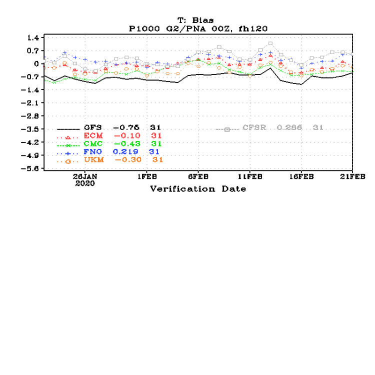
-
Mid-week potential of something somewhere
madwx replied to Chicago Storm's topic in Lakes/Ohio Valley
It has much better verification scores than the GFS and is only slightly worse than the Euro. -
Mid-week potential of something somewhere
madwx replied to Chicago Storm's topic in Lakes/Ohio Valley
GFS still north. but trend in less snow here is obvious. from 10.1" to 8.9" -
Mid-week potential of something somewhere
madwx replied to Chicago Storm's topic in Lakes/Ohio Valley
This is probably the reason all the offices are going with such high totals and watches