madwx
-
Posts
2,257 -
Joined
-
Last visited
Content Type
Profiles
Blogs
Forums
American Weather
Media Demo
Store
Gallery
Everything posted by madwx
-
GFS bringing in the cold air much earlier. Has subzero temps here by Friday.
-
This thing has staying power. Probably going to have quite the snow melt/high river season in March.
-
January finished with: Average temp of 21.9(+2.4 of 1991-2020) Precip of 1.27"(-0.19" of 1991-2020) Snowfall of 17.0"(+3.3" of 1991-2020)
-
looks like we'll have a significant amount of sun the first half of this week, and any brutal cold next week will also have sunshine so turning out to be a much brighter first half of the month than January had
-
You give me hope that I can still be a troll well into my parenting years
-
All signals are there for serious cold to be in place from the 7-14 of February. Some signals that a piece of the TPV will come rotating through the area
-
Death, taxes and the GFS showing insane cold in the extended
-
Estimating about 5” total here but really tough to measure with all the drifts. Sun peeking out a bit. May get a few more snow showers the rest of the day
-
3.8" as of 6 AM at MSN. Very light snow for the past couple hours here, lots of blowing and drifting
-
6.8” at ORD so far, 6.0 at RFD, 7.4” at MDW, 9.5” at LOT
-
1.6 inches at the MSN airport as of 9 pm
-
Still coming down but can’t get a large flake size. Wind is howling out there which will make measuring futile
-
Really coming down out there with a strong wind. Flake size still small though
-
Pouring small flakes here. Already about a quarter inch on sidewalks
-
some drizzle started about 20 mins ago and switched pretty quickly to pixie dust. maybe a few larger flakes at times.] Moderate snow up to the Dane County line. Should be here within the hour
-
It's not really a dryness thing here, its more just a slower progression northward of the forcing for precip. Getting reports of drizzle on the SW side of Madison so we just need the forcing to arrive(probably in an hour or so) and well be golden.
-
still dry here. Precip start time is going to be at least a couple hours behind what most models had
-
The trend of a mild first week, significant storm around the 4-7 and then deep cold for about a week before moderating for the second half of the month seems to still be holding for now. Looking like a majority of the area will have a deep snowpack before the cold plunge.
-
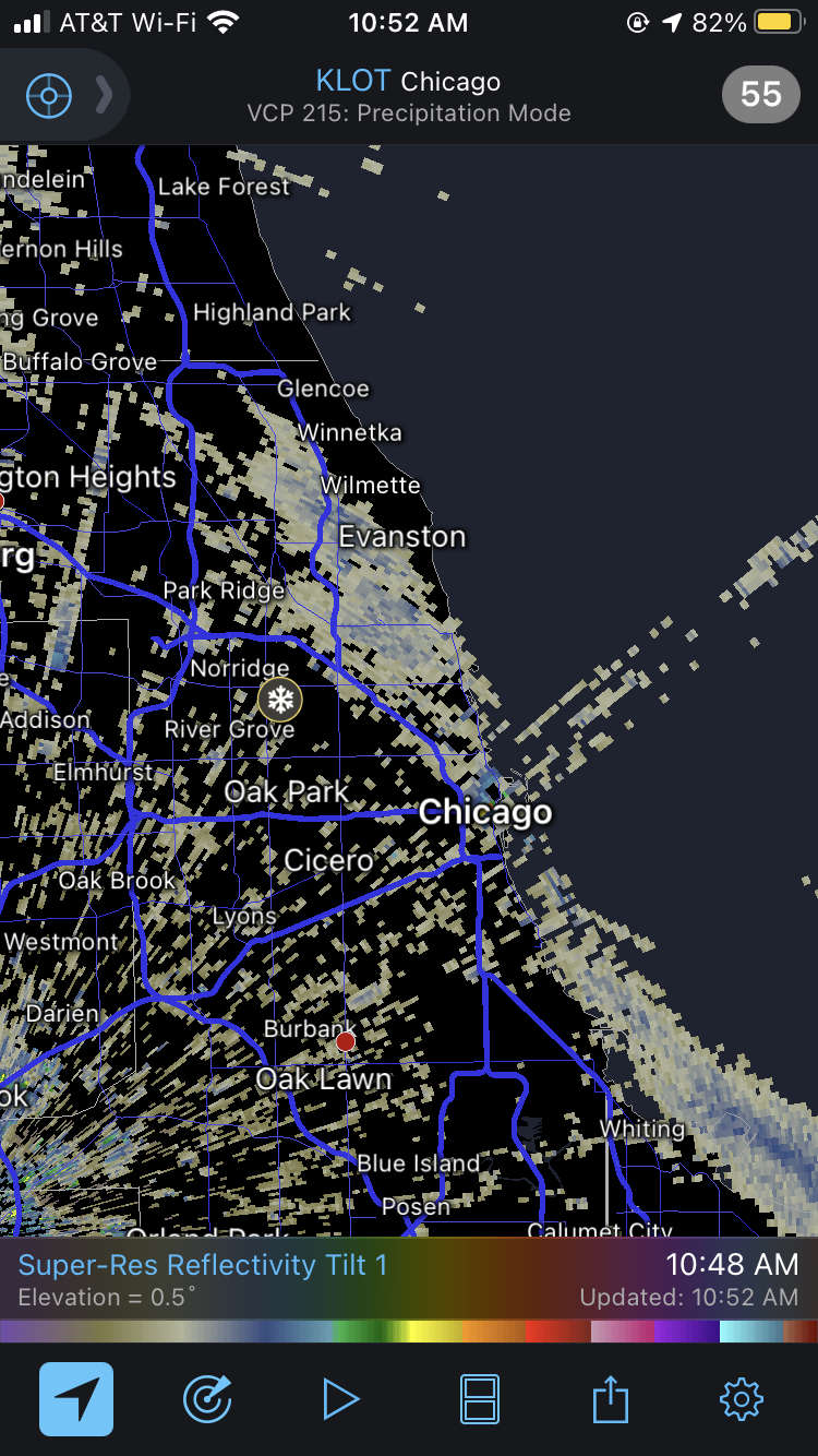
Y’all are getting snow in Chicago already

-
will be interesting if this can push us up to 15" snow depth. Only 23 years in history have we had a 15" snow depth in the winter, most recently 2010-2011
-
Gonna go with a 6” final call. Lingering snow tomorrow morning brings us to that half foot mark
-
This storm is gonna end up with a McHenry County bullseye
-
The NAMs really speed up the precipitation tomorrow. It's breaking out in southern Wisconsin by 3 PM Also all of the 18z models have shifted the heaviest precip band in a more NW/SE orientation. The QC area gets a lot less snow
-
meanwhile the 12z GFSv16 has the trough ejecting much slower which allows it to be suppressed and drives a 986 low through Chicago
-
12z GFS comes in a bit slower and more amped. Gets the low down to 975 over SW Wisconsin on Thursday evening