

madwx
-
Posts
2,260 -
Joined
-
Last visited
Content Type
Profiles
Blogs
Forums
American Weather
Media Demo
Store
Gallery
Everything posted by madwx
-
hoping that band over Janesville can shift nw just enough to help us jackpot this one, will be a close call
-
gonna be a tightrope to get all my driveway/sidewalk clearing done before conditions become completely awful outside
-
stared in horror at the dry slot when I woke up but we only got down to flurries here and already picking back up. 2.3" with the early morning WAA. the main TROWAL feature should start impacting us shortly.
-
unsurprisingly the CAMs are moving SE this evening
-
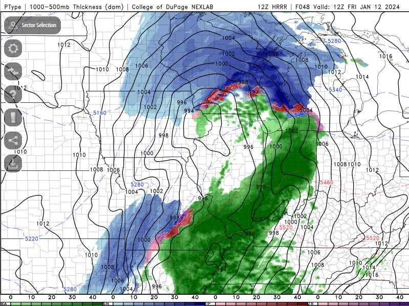
some of the Hi-Res CAMs keep daytime snow around here much lower and accumulations only reaching 5-7" in total. did some model sounding investigation and one main difference is much weaker omega in the CAMs. Verbatim the NAMs would give us a really good chance at thundersnow. One negative factor is that after the initial 3 hour burst the DGZ gets really shallow due to strong WAA and it doesn't really recover until the very tail end.
-
18z NAM drops 5.4" between 6 and 9 AM tomorrow. if we're gonna do it, lets do it full NAM style
-
full sunshine right now. happy to sneak this in before the next system starts spreading high clouds in
-
Final call of 9”. Wind is going to get very nasty tomorrow afternoon
-
1.8” overnight
-
Snow starting here. Will have to see if the squall makes it up here. Low will be weakening as the night goes on
-
should jackpot this and may even jackpot Friday's storm. will get pics of the upcoming glacier
-
hoping for some sunshine. This is the most climatologically favored time of the year for this cold so not expecting any records
-
it's crazy how underdispersive the GEFS is compared to the EPS
-
Congrats La Crosse
-
6.2” at the house. 5.7” at the airport. Lots of drifting this morning
-
Going to have mountains of snow beside the driveway after this week
-
Hoping for some sunshine with this bitter cold stretch upcoming. Definitely makes the days more tolerable
-
It’s been 31 all night here despite gusty N winds and 6” of fresh snow. Antecedent airmass isn’t going to shove this one south
-
a hair under 5" now. best rates of the event are done. expecting another inch or two before midnight
-
looks like Champaign hit their lowest pressure ever. Ripping nicely with some healthy rates. around 4" now
-
Snow accumulating on all roads now. Heavier defo band is setting up over the area. A hair under 3” so far
-
31/29 here. should be off to the races once it starts. would expect snow to begin in 2 hours or so. models have backed off morning snow a bit here but really get things cranking with the defo band in the afternoon
-
Clipper on Wednesday night and Thursday is trending north and weaker. May sneak out with nothing from it. Has more serious implications for the weekend storm
-
wagons definitely a bit SE on the 12Z GFS


