frostfern
-
Posts
1,983 -
Joined
-
Last visited
Content Type
Profiles
Blogs
Forums
American Weather
Media Demo
Store
Gallery
Everything posted by frostfern
-
I think lack of moisture is the thing holding back the earliest stuff now. The bulbs are ready to open as soon as afternoon temps reach the middle 50s and nights stay above freezing, but the stalks will need a little water to actually grow. Snow melt mud is already crusty. It only took a few days to dry out. Soil is so sandy here that as soon as the frost is gone all the water soaks down into the ground.
-
Last year was very odd in that the very first trees and shrubs leafed out early due to a warm period in the first week of April. Most of the spring flowers were out slightly early too. But then mid-April through mid-May was so cold and rainy that the typically late trees weren't even full yet by the end of May. It was nice for taking nature walks in the woods as there was a lot of greenery but not a thick canopy yet... so nice sun shining through.
-
This is the most weenie-unfavorable pattern ever. Tired of the constant chilly east wind and northern fringe clouds. I like rain and I like full sun. Hate this stuck-in-between crap.
-
Green grass, green shrubs, or green oak leaves? It's usually a 2 month span here. Then by the time the oak leaves are full green... around June 1st, the grass is already entering it's first summer brown phase. Would prefer an early spring for once this year.
-
Need rain for them to start coming here. Frost is out of the ground but it's just too damn dry.
-
Yea. What really stinks is getting cloudy skies and brisk easterly winds with temps in the mid-upper 30s... yet zero beneficial precip. If it's going to be boring I prefer sunny skies at least. Though we did have a pretty sunny stretch earlier in the month. It's just annoying being stuck on the northern fringe of the southern stream track... and then not even getting any precip. Chilly easterly winds and clouds are so depressing this time of year.
-
There was right around 2.0" of water in the snowpack here before it all melted. This winter has had a distinct lack of rain though. What moisture we did get was mostly snow and mostly in the month of February. Overall it has been a dry winter. December-February had lots of days with measurable precip, but very light amounts most of the time. Now March has been downright dry.
-
I think the dry high to the northeast will eat away the northern edge up here in Michigan... again. Would prefer either precip or sunshine and real warmth. Can't get either. Marginal cold + cloudy + dry = zzzzzzz. February was the only marginally interesting weather month in ages.
-

Beware the Ides of March (and into the 16th)
frostfern replied to Hoosier's topic in Lakes/Ohio Valley
Single digit dewpoints blowing in from the east wrecked it. Hope we can at least get a warm rain soon. It's dry as a bone already. -
Beware the Ides of March (and into the 16th)
frostfern replied to Hoosier's topic in Lakes/Ohio Valley
Still virga. Looking forward to the drought. -
Beware the Ides of March (and into the 16th)
frostfern replied to Hoosier's topic in Lakes/Ohio Valley
Heavy virga here. East wind bringing in single digit dewpoints. Boring. -
Beware the Ides of March (and into the 16th)
frostfern replied to Hoosier's topic in Lakes/Ohio Valley
Would be cool to get some thundersnow this evening. System itself is shearing out, but there's instability aloft feeding into the narrow band. -
It looks similar to the last warm system. Could use some rain here, but track is too far NW once again. It's already like the mid-summer patter where the trailing cold front has a line of precip that weakens to nothing as it approaches Michigan.
-
Not much rain here, but a lot of wind. Gusts woke me up shaking the house. It was as nerve wracking as a severe t-storm, just without the lighting. Judging by the sound probably a 55mph gust. Enough to have me thinking about tree branches coming down. It was obviously a warm wind as now even the piles and snow forts are gone.
-
They need all the moisture they can get now if another hot dry summer is on the way. Sadly the beetles have already done so much damage. So much dead fire fuel. Elevated dead logs dry out like crazy in the heat no matter how much snow there was in the spring.
-
Split-stream patterns scour the gulf this time of year.
-
The systems beyond might have both severe south and snow for the north. Details are sketchy, but the split flow won't return immediately so there's potential I guess.
-
My yard has 4-5" crusty slush with big bare spots around the trees. Wooded north-facing hills still have significant snow (like 6"+), but open fields and road medians are showing a lot of bare ground. It stopped melting today, but I think 2-3 more 40 degree days will finally finish it off.
-
I think there will be thunder nearby the week of the 8th. Might just be cold rain given it's only March, but the current split-flow pattern will be over so there's at least a chance of a warm sector with mild temps and considerable gulf moisture.
-
This right now is a very weak clipper-like system. It's just not a very deep system. Cloud tops at 8k feet max doesn't really do it, unless you're in a location where a band can park over you (which I'm not). The better clipper fronts push the cloud layer up to 15-20k feet.
-
Where I live there just isn't enough fetch to get an extreme event like what happened in Chicago. Normal years have a lot of very light lake effect during cold periods. It will snow 1" per day for a few days straight. The better events are clippers that get bumped from a 3" event on the Wisconsin side to an 8" event here. It happened repeatedly in 2014, but not this year.
-
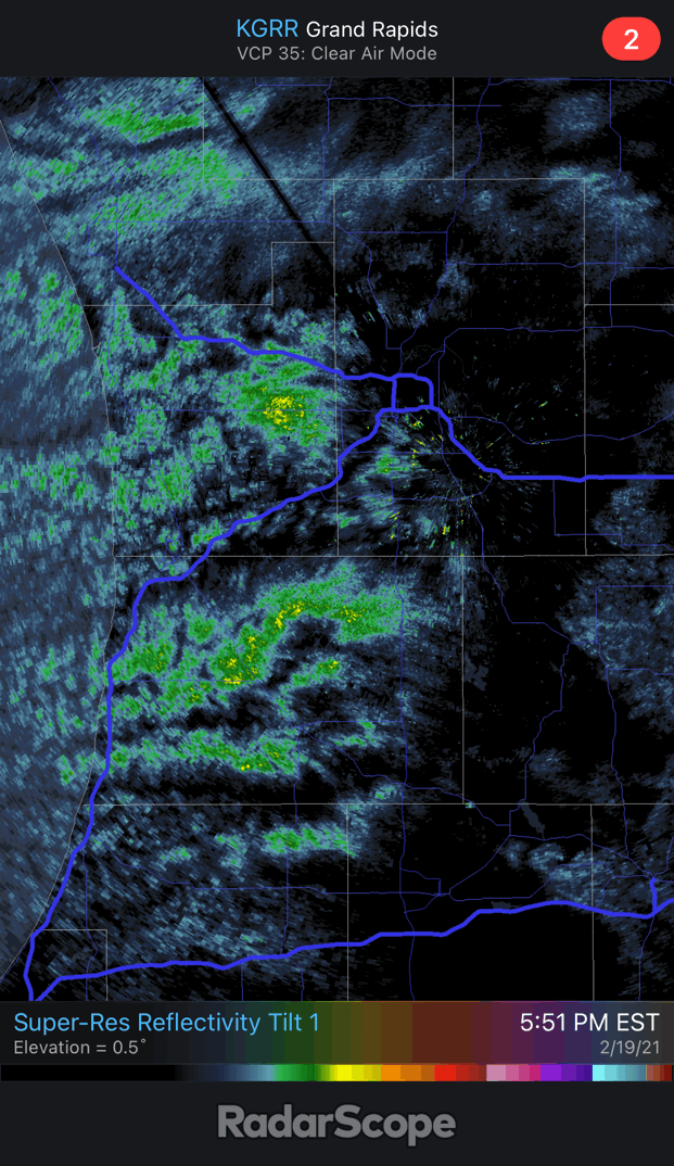
30 dbz "cell" is missing just to my NW. Stuck in the gap between bands. Happens more than not this year. Don't know why. Hopefully it fills in at some point. Any single one of these showers could drop an inch of fluff in 20 minutes.

-
Nice big dendrite fluff coming down. Finally some lake enhancement on this side of the lake.
-
It's been very light snow with filtered sunshine here.
-
-13 officially last night at GRR. This is 2 degrees colder than the coldest night of the PV event in 2019. That one had way worse wind-chills and was a colder airmass overall though. Pure radiative cooling isn't nearly as bad as a super-cold airmass that is below zero despite passing over Lake Michigan on a 15 mph breeze. Also decent rebound with days getting longer.