
NeffsvilleWx
-
Posts
6,906 -
Joined
-
Last visited
Content Type
Profiles
Blogs
Forums
American Weather
Media Demo
Store
Gallery
Everything posted by NeffsvilleWx
-
That happens regardless though. People are incredibly ignorant when it comes to weather, statistics, and probability.
-
And yet, someone (or some group, or some algorithm) within NHC sniffed out this probability from the very beginning. I'm not going to pretend to know anything about how mets or the NHC does things, but from my admittedly simplistic view and experience as a layperson, I think the easiest and most effective solution would be to hurricane warn any coastal area within the cone at T-36 hours of landfall.
-
But the actual landfall point was always in the cone. From day 1. It's like people don't understand that the "cone" represents only the potential path of the eye. Really, if one is in the cone or within the radius of the eye outside of the cone, preparations for an eyewall strike should be taken. And if they're within the radius of the hurricane force winds outside of the cone, then prepare for hurricane force winds. Likewise for TS force winds.
-
Just want to share the NWS 5 day path archive because it perfectly captures just how "good" the NHC was with Ian's track. The actual landfall point was in the cone from day 1. Anyone that wants to blame the NWS/NHC for their lack of preparedness is just looking for a scapegoat. https://www.nhc.noaa.gov/archive/2022/IAN_graphics.php?product=5day_cone_no_line_and_wind
-
Recorded a low pressure IMBY of 984 at 5:46 am. Tracked pretty close to us. max recorded wind here last night was 30 - though it was probably a bit more because of nonideal siting. 4.5” of rain from Ian. have some sticks and palm fronds to clean up but nothing else. Made it through rather unscathed.
-
Got paid to relocate to the Fl coast for work. Beats driving to Lewes when I want to do some inshore/surf fishing, don't have to deal with snow, and I can watch rockets launch from my driveway. Wasn't a hard decision Still adjusting to the attenuated seasons -- Spring and Fall are really just "less summer" but winter is downright gorgeous. And the weather tracking is different, too. For instance, I'm watching Ian make a beeline to my backyard, or in the vicinity thereof. Currently under a hurricane warning with worst case being cat 1 or cat 2 winds. But we've got shutters, a whole home generator, and a block home built to post-Andrew code. Nothing really to worry about for this one.
-
Same. I'm on the mainland adjacent to Patrick SFB. Forecast is now 40-60 gusting 80 but hurricane warning advisory includes potential up to 110. Right now, though, it's dead calm. No rain and winds 0g1.
-
They have...
-
East coast hurricane warning extended south to Sebastian Inlet. my neighbor was out in the rain and wind this morning putting up shutters. Better late than never
-
don’t get me wrong, I’m well aware of the potential in the lanco area. Was just never in the right spot at the right time. I’m close enough to the ocean here that we get a daily sea breeze which really cuts the heat and humidity. I find it more comfortable here in the summer than in Lancaster because of it.
-
*anti-exploitation
-
Probably location dependent. I'm on the coast here. Over 10 years, I had never recorded winds over 40 mph in Lancaster. Within the first 6 months in FL I recorded a gust of 53. NWS says expected worst case from Ian here is 58-73 mph.
-
Brevard County Director of Emergency Management, on an official FB Livestream, just said that the worst of the rain is going to be on the eastern side. And that winds aren't going to be an issue here, despite MLB forecasting worst case of 58-73 mph winds. Like -- has he even been paying attention to what actual mets have been forecasting?
-
41 kt gust measured at Key West International ASOS - 121 nm from the center.
-
This is definitely going to compound issues. It was a pretty dry summer, but I've recorded almost 10" IMBY since 1 September.
-
I put closed most of our shutters this evening. Also cleaned up the yard and brought stuff inside -- or in a protected area (house covered area in our lanai has hurricane fabric). Tomorrow I just need to close the shutters on the doors and pull the cars into the garage and we're all set. It never hurts to overprepare.
-
We’re on the east coast so no major concerns from Ian. Nothing the house can’t handle, anyway. Made sure to buy a newer one built to post-Andrew building codes.
-
I spent a year in Sierra Vista — I loved hiking up into the Huachuca mountains and watching storms roll across the plains. The sky is definitely “bigger” out there, that’s for sure.
-
I always appreciated a good thunderstorm in PA. I did not realize how much better they could get until we moved to FL. Near daily storms in early Fall, 2"/hr+ rainfall rates, 1000+ lightning strikes within 25 km, wind gusts -- the whole 9 yards. FL weather makes PA weather seem mundane.
-
12z euro didn’t have 992 until tomorrow afternoon
-
If it keeps riding the east side of the cone, prep is going to drastically intensify here in Melbourne. I think most are just expecting a wet, windy day. NWS isn’t even forecasting wind speeds for wednesday and Thursday at the moment, just including “tropical storm conditions possible” for those days.
-
I’m on the east coast of fl - stores have been sold out of water for the past day or so. Municipalities have been handing out sand bags. State of emergency was declared for the entire state, too. The general public knows.
-
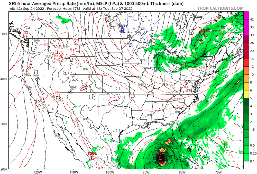
GFS has been trending east for the past few runs
-
Was RI/significant strengthening ever forecast prior to today? I don't remember seeing that anywhere.
-
I think you’re on the right track. Until Ian gets a bit better organized, track accuracy is going to suffer significantly.