Upstate Tiger
-
Posts
703 -
Joined
-
Last visited
Content Type
Profiles
Blogs
Forums
American Weather
Media Demo
Store
Gallery
Everything posted by Upstate Tiger
-
39/28 in CHERRYVILLE.
-
Still not convinced Monday/Tuesday event moves through the Tenn. valley. It certainly could, we'll see. Regardless, there will be other opportunities ahead. Only wished we had more cold on our side of the hemisphere. GSP AFD: https://forecast.weather.gov/product.php?site=NWS&issuedby=GSP&product=AFD&format=ci&version=1&glossary=1&highlight=off GFS 06: https://mag.ncep.noaa.gov/model-guidance-model-parameter.php?group=Model Guidance&model=GFS&area=NAMER&ps=area#
-
Good info on the GSP AFD. Hard to complain about the near term and mid term forecast discussions.... https://forecast.weather.gov/product.php?site=NWS&issuedby=GSP&product=AFD&format=ci&version=1&glossary=1&highlight=off
-
KGSP (That's in northwest SC...the center left corner of state) still cautiously optimistic for 2 storms. Synoptic forecast still essentially the same. https://forecast.weather.gov/product.php?site=NWS&issuedby=GSP&product=AFD&format=ci&version=1&glossary=1&highlight=off
-
That’s what I’ve been saying about the west and the winters they’ve experienced the last few years. Maybe you’re on to something. If OSU can finally beat us maybe be we can finally get a Miller A in the middle of January . Best look over the next 10-14 days we seen in several years.
-
Well....I got my heart broken last Friday night so I am due a better Friday this week.
-
GSP still honking on both systems in this afternoon's AFD LONG TERM /THURSDAY THROUGH MONDAY/... As of 230 PM EST Monday: No significant changes in the overall thinking for the Thursday night into Friday winter storm. A strong upper low at 500 mb will likely pass just to our south Thursday evening into Friday. A leading surface low pressure system will slowly strengthen Thursday night before more rapidly strengthening into Friday thanks to a stronger baroclinic zone near the coast. Steady moisture advection first off the Gulf of Mexico transitioning to off the of Atlantic combined with deep lift (strong isentropic lift at lower levels and large scale ascent aloft) should support at least moderate precipitation at times, possibly with periods of heavy precipitation during the best overlap between forcing and moisture Thursday night into early Friday. Temperature profiles should support mostly snow across the mountains and possibly into the I-40 corridor with a transition zone probably setting up between roughly the I-40 and I-85 corridors outside of the mountains, with mainly rain south of I-85. That being said, the latest EC showed a jogged a bit north with the upper low in its latest run, which would support warmer profiles and a bit more in the way of liquid precipitation should this trend continue. A brief period of northwest flow snow showers are possible in the storms wake late Friday or Friday night. High pressure will build in this weekend with mostly sunny skies and below normal temperatures. Another colder storm may be on the horizon for early next week.
-
Been a longtime since we have seen this kind of negative NAO in January. Even though GFS wasn't great today, still feel like timeframe after New Year's has potential. https://www.cpc.ncep.noaa.gov/products/precip/CWlink/pna/nao_index_mrf.shtml
-
Yes, looking at the 12Z GFS, that appears to be our next legitimate shot with a east coast storm showing up during that timeframe and lots of southern stream energy. On a side note, how about a 964MB low crashing into Alaska on Christmas! That'll make Santa's ride a bumpy one.....
-
Great information! I was home from college break that December and parents insisted I work at the lumber yard where I worked summers. I remember delivering a load of Sheetrock to Cashiers NC and it was 3 below. Rest of that winter sucked except a little snow in Feb. Pretty rare low snow winter for the 80s. Wildest frontal passage I remember was in Jan of 78. Went to bed at 1000pm. It was breezy, 68, and tornado watch. Woke up at 645 and it was 17 at GSP with 1/2” of fine powder whipping around in 50 mph winds. Another snow squal came through at 830 and temp dropped to 15. I feel for the younger whimper-snappers that didn’t get to experience the 70s and 80s wild winters in the SE. However the setup for next week looks interesting and the indices look good today.
-

Ice Time? Dec. 16ish Possible CAD Event
Upstate Tiger replied to Tar Heel Snow's topic in Southeastern States
Was 37/28 an hour ago. Clouds rolled in and rose to 39. Feels like Cold Rain. -
NCPC mentioned this in today’s 7-14 day hazard outlook.
-
Ice Time? Dec. 16ish Possible CAD Event
Upstate Tiger replied to Tar Heel Snow's topic in Southeastern States
Disappointed this isn’t our storm but glad to see a good ol fashion nor’easter. Reading grits comments and comments from other Mets today, hopefully this is a repeating pattern that resumes after a Christmas week lull. At some some point we’ll cash in if that’s the predominant storm track. -
Uh oh. We have a Burrel siting. Winnies will be on full alert now.
-
2020/2021 Fall/Winter Mountain thread
Upstate Tiger replied to Met1985's topic in Southeastern States
Wife and I heading up there too! Staying til Tuesday luckily. Hopefully see some snow. -
Griteater's Winter Outlook (20-21)
Upstate Tiger replied to griteater's topic in Weather Forecasting and Discussion
Grit....good stuff as usual. Unfortunately, I think the science and your experience probably support your forecast becoming reality. Like you said, those winters weren't complete shut outs.... -
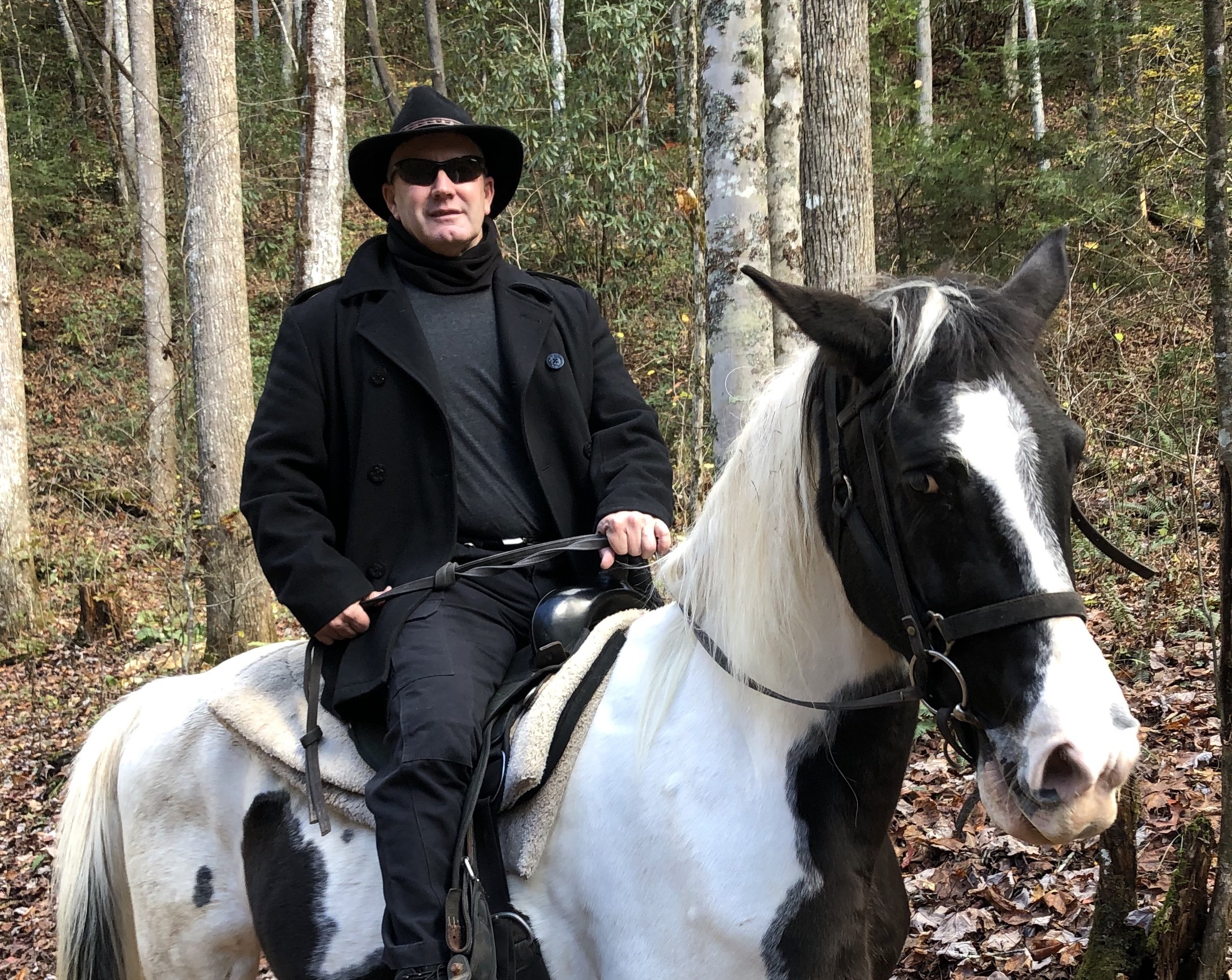
Made it to Bryson City yesterday. Had to dodge lots of downed trees and branches close to home but other than scattered power outages up here, not much sign of damage once we got off 74 onto 26. Turned out to be great afternoon for train ride? Great horseback ride today.

-
Just lost power here in Cherryville. Winds sustained at 25. Had pre-booked a trip to Bryson City back in the summer to ride the train and look at leaves. Supposed to depart at 230 today. Called them to see if it’s still on.....the lady said we’ve never canceled for weather. Guess we’re going to BC! We do have a waterfall horseback ride scheduled for tomorrow. Should be a perfect day to ride. Everyone be safe!
-
First truly arctic air making an appearance across the Northern Rockies and Northern Plains later this week. Highs in the low teens...... Didn't Mack move to Iowa? Looks like he could see some cold days as well.
-
UUUggghhh! Bermuda high re-establishes next week. Hope this is not a permanent fixture this winter. Unfortunately, they can be for La Nina. Good news is ridge looks to hold over the west for the next two weeks. Lack of west coast ridge has killed us last couple of years.... https://forecast.weather.gov/product.php?site=NWS&issuedby=GSP&product=AFD&format=ci&version=1&glossary=1&highlight=off
-
You forgot that "if there is frost on a cloudy morning the sunrise will not be visible that day."
-
Grit, That was my first winter here in NC. We had a decent little snow before Christmas. January saw a good snow and almost a week where it didn't get above freezing. I would take a repeat of that winter and be thrilled.
-
Wow...Joe B going bleak for winter in the U.S. That's about as rare as a SE snowstorm. Too bad we can't rely on folklore. We've had multiple foggy days in August so far. Old people (the age I am now) used to say the more foggy days in August, the more snow in the winter.
-
Hey, I am one of those old men. I was just telling my grandson the other day about one of our epic winters of the past. He looked at me skeptically and said "Sure Poppy. I guess next you will tell me that the Weather Channel used to talk about the weather, MTV actually played music videos and people used to go to stores to buy stuff." Kids today, they can't even remember when Clemson sucked at football.
-
So I sat in on a Emergency Mgt call at the office today focused on the 2020 Atlantic Hurricane Season and the forecaster said there is increasing data to suggest that we will be in a weak La Nina by fall resulting in a more active hurricane season. Unfortunately I can't post since it was a commercial site. Not only would that correlate to a potentially more active hurricane season but wouldn't be good news for SE winter weather (typically).