wxmeddler
-
Posts
7,115 -
Joined
-
Last visited
Content Type
Profiles
Blogs
Forums
American Weather
Media Demo
Store
Gallery
Everything posted by wxmeddler
-
Beautiful Morning. Couldn't ask for better.
-
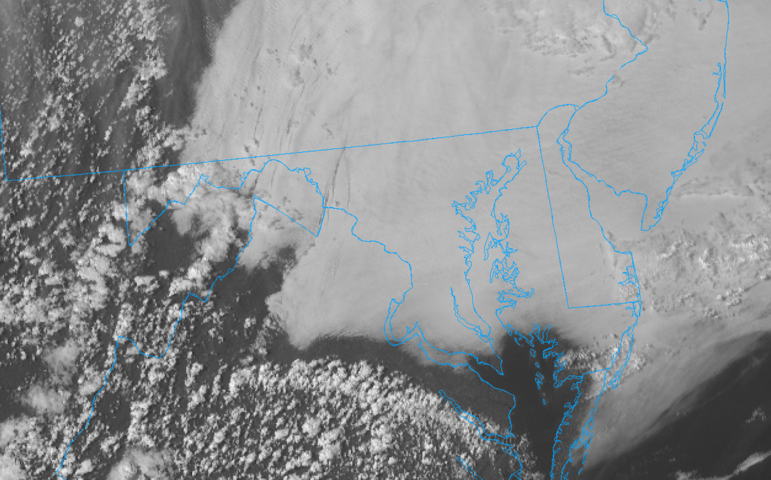
Back Door Cold Front... Northeast Marine Layer.... Ocean Wedge... whatever you want to call it.
-
Climatologically, our peak BDCF season is March & April, so it's not surprising.
-
I got poured on. Overflowed my large rain barrel faster than I expected.
-
Worked outside this evening doing some yard work. Perfect temp, dews could be lower. Can't have it all.
-
Too hot, bring back the 50's.
-
El Nino starting to rage and the MJO moving into 7-8-1 spells SE Ridge flexing it's muscles early.
-

It's time to grade Winter 2025-26(now that it's actually over)
wxmeddler replied to CAPE's topic in Mid Atlantic
B -
It took my brother 1hr 53min to get through TSA at BWI this AM. He said one of the issues is that people are showing up too early for their flights in the morning, so there is a huge crush at 6AM instead of the steady stream from 6 to 8AM.
-
Don't knock it till you try it. nah, -10F and sunny (no wind) is the best.
-
Y'all are crazy. I'd much prefer -10F than 90F. If it's 90F it better be 20% RH and breezy.
-
As far as I can tell, the 90F high temperature measured in Hancock today by the Mesonet was the highest temperature measured in Maryland for the date (03/22). The previous record was 88F (tied at multiple sites and dates). It's definitely not the March all-time though ; That record is 97F on 03/30/1998 in Downtown Baltimore.
-
Went out to Annapolis today and it was amazing. 15 deg cooler along the water. Hancock low of 35 and High of 90 is crazy. We never get a diurnal of 55 degrees. I'm gonna have to take a look back and see when that last happened in the state.
-
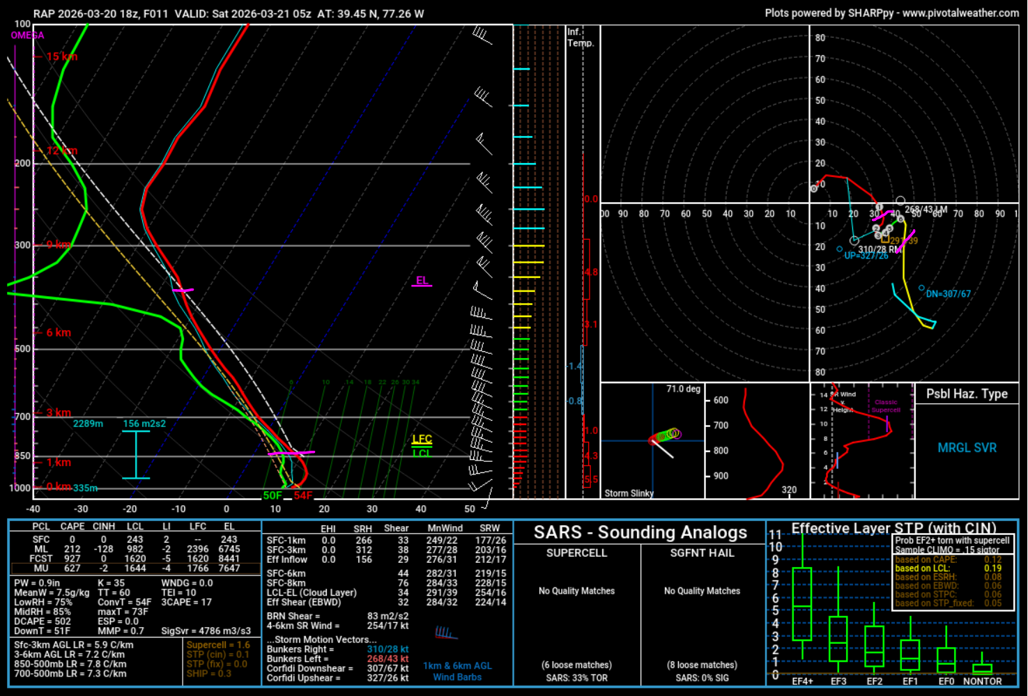
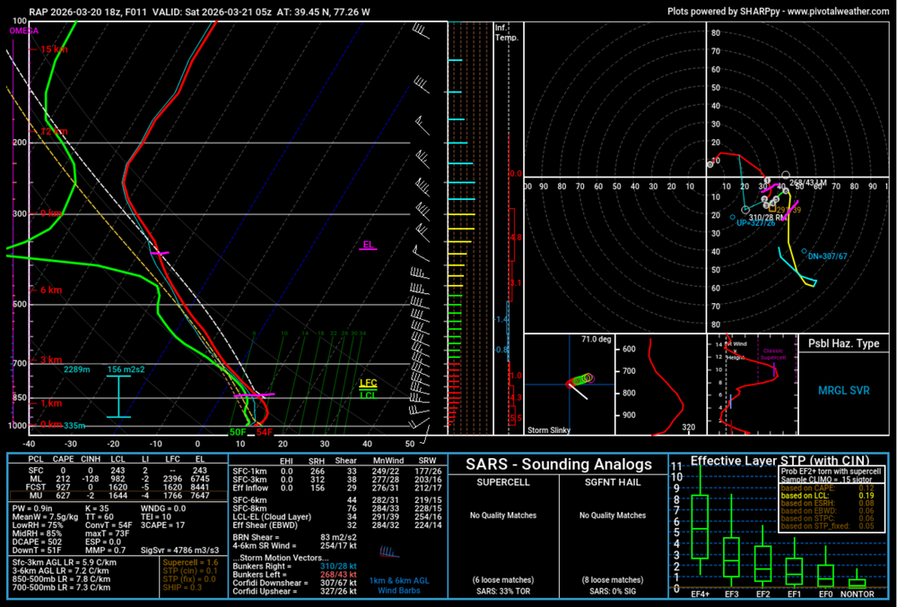
Agreed, there is a meager amount of MUCAPE hanging around and with EL's near -35C. Which, if storms can fire, should be able to produce lightning. 850-500 lapse rates are around 8C/KM which isn't half-bad. The storms could be quite "pulsey" as well as the LFC-EL shear is pretty weak, only about 15 kts (Pink lines).
-
Yes! First time meeting her. I see why you two get along so well We exchanged info.
-
70 at Ft. Meade, 55 in Annapolis. #BayBreezing
-
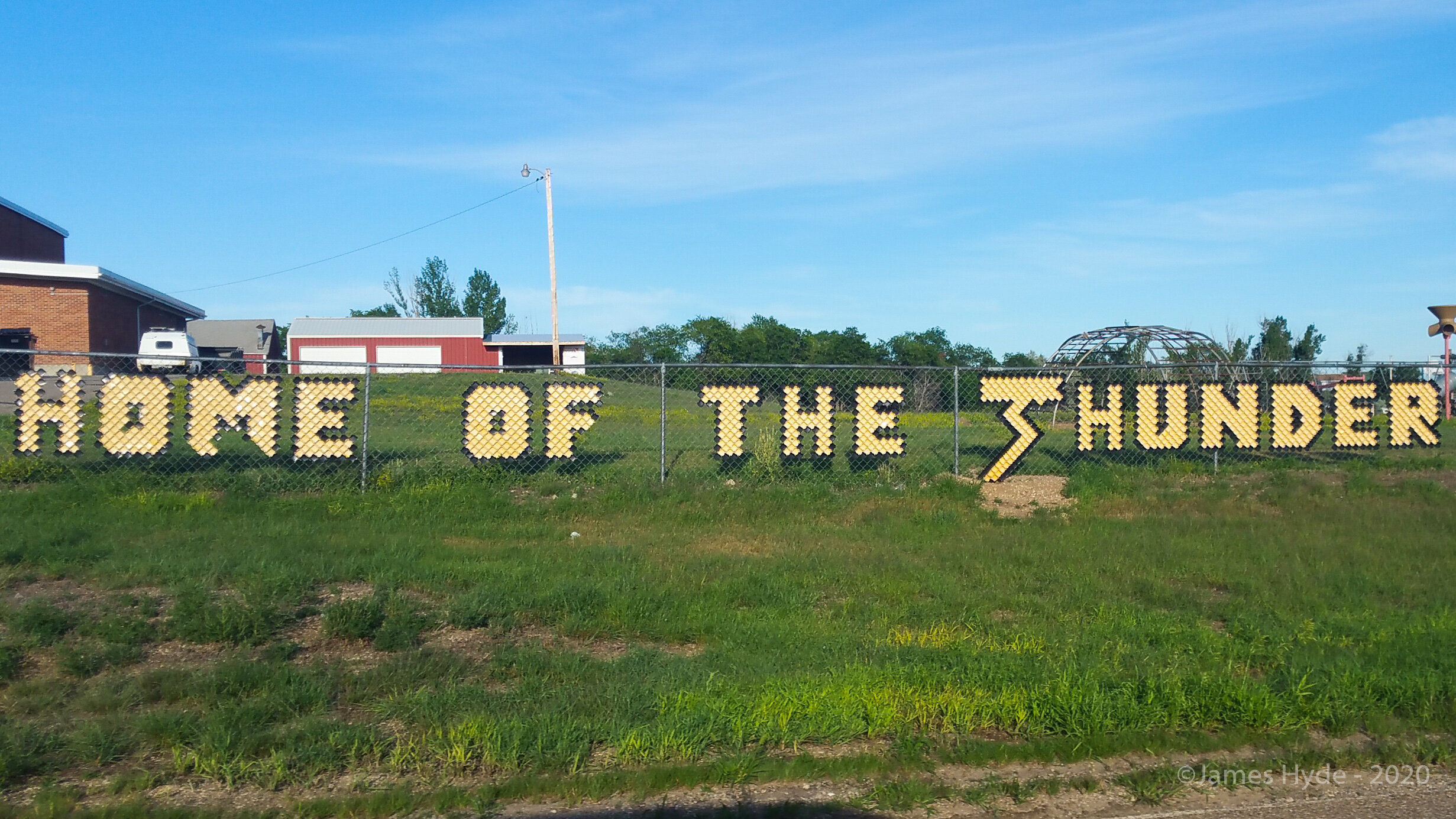
The going rate is one bottle cap per inch of bust.
-
The MD Mesonet stations has sunshine detectors (pyranometers). We're recording the data and eventually we'll have statistics on it but it fairly low on the priority list. We should be able to do % of sunshine and energy but % of normal will be harder to determine since there isn't a good history.
-
It's a race to see how far east the pingers get before the dry slot arrives.
-
Completely agree, you'd never know from LWX.
-
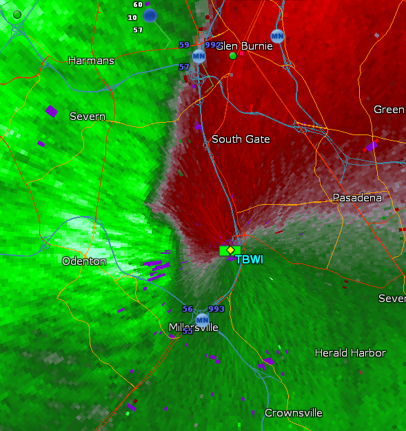
BWI G44kt (50mph)
-
Our thermometer is painfully slow as well. My student is currently running an inter-comparison of fast thermometers so we're getting fantastic data at 3 second intervals. I'll post it here once it's done.
- 1,093 replies
-
- 1
-

-
- severe
- thunderstorms
- (and 1 more)