mahantango#1
-
Posts
5,429 -
Joined
-
Last visited
Content Type
Profiles
Blogs
Forums
American Weather
Media Demo
Store
Gallery
Everything posted by mahantango#1
-

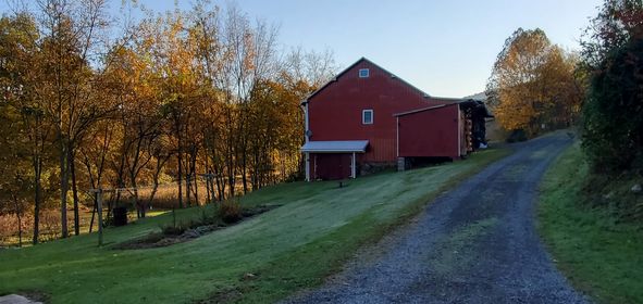
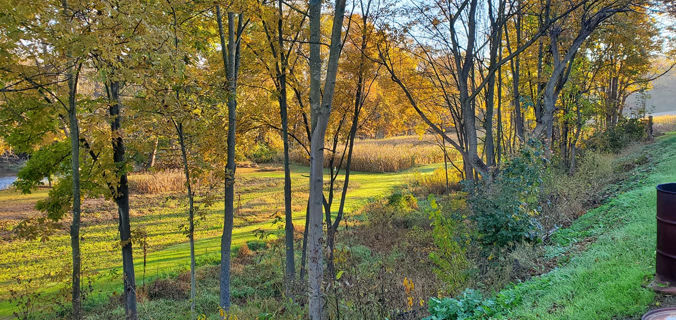
Central PA Autumn 2023
mahantango#1 replied to Itstrainingtime's topic in Upstate New York/Pennsylvania
44 this morning. They also mentioned the euro for next week. -
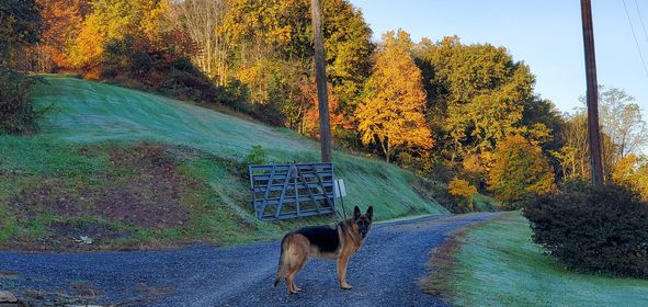
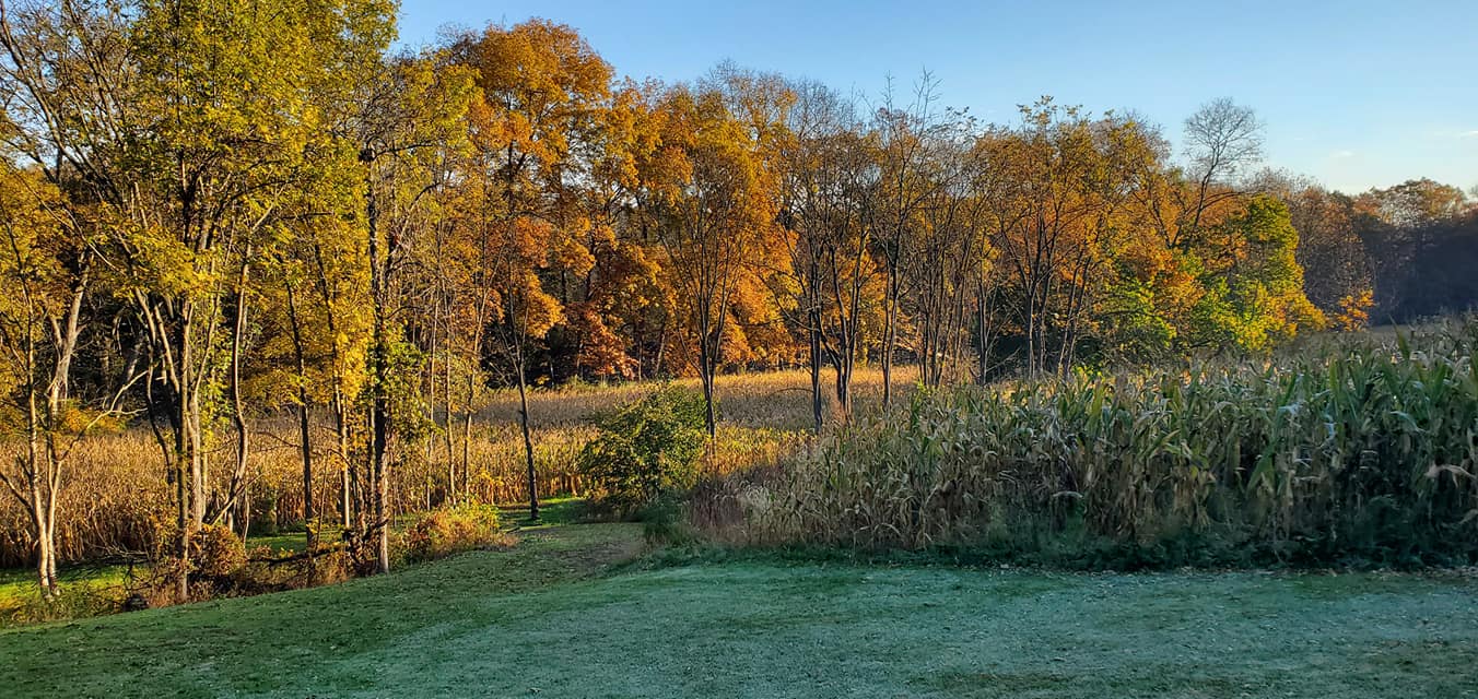
Central PA Autumn 2023
mahantango#1 replied to Itstrainingtime's topic in Upstate New York/Pennsylvania
40 this morning. -
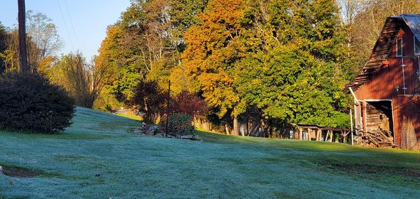
Central PA Autumn 2023
mahantango#1 replied to Itstrainingtime's topic in Upstate New York/Pennsylvania
This is the worst ladybug invasion ever. And I been living here close to 40 years. The huge amounts of Hickory nuts,walnuts this year. I'm just wondering if these are all signs pointing to a hard winter coming up. -
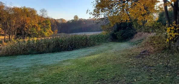
Central PA Autumn 2023
mahantango#1 replied to Itstrainingtime's topic in Upstate New York/Pennsylvania
The farmland is rented out to a farmer. -
Central PA Autumn 2023
mahantango#1 replied to Itstrainingtime's topic in Upstate New York/Pennsylvania
Another ladybug/Asian bug taking place now. -
Central PA Autumn 2023
mahantango#1 replied to Itstrainingtime's topic in Upstate New York/Pennsylvania
There are 2 burglar alarms here. (Plus my place is lit up at night with the solar lights and a camera system.) The other one does the night shift. I can't leave them both loose at same time, with the possibility of them taking off. Yea sometimes at night they are constantly barking. There is some kind of animal up in the mountain they bark an go investigate. -
Central PA Autumn 2023
mahantango#1 replied to Itstrainingtime's topic in Upstate New York/Pennsylvania
So you will be called upon in the near future to share with us when those dreaded pingers appear at your location. -
Central PA Autumn 2023
mahantango#1 replied to Itstrainingtime's topic in Upstate New York/Pennsylvania
You are also the first to experience pingers too. That results in snowstorm letdowns. -
Central PA Autumn 2023
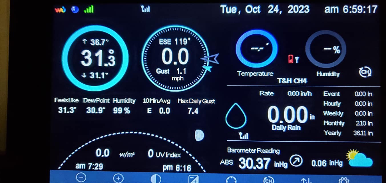
mahantango#1 replied to Itstrainingtime's topic in Upstate New York/Pennsylvania
31.3 this morning. -
Central PA Autumn 2023
mahantango#1 replied to Itstrainingtime's topic in Upstate New York/Pennsylvania
correction now have car topper frost temp went down to 32.9 -
Central PA Autumn 2023
mahantango#1 replied to Itstrainingtime's topic in Upstate New York/Pennsylvania
33.6 the low currently...no frost though. -
Central PA Autumn 2023
mahantango#1 replied to Itstrainingtime's topic in Upstate New York/Pennsylvania
I guess we will see what transpires till then...keep us updated! -
Central PA Autumn 2023
mahantango#1 replied to Itstrainingtime's topic in Upstate New York/Pennsylvania
The carpet and tile guys forecast They say no record highs should be threatened. -
Central PA Autumn 2023
mahantango#1 replied to Itstrainingtime's topic in Upstate New York/Pennsylvania
I haven't watched them for a few days. -
Central PA Autumn 2023
mahantango#1 replied to Itstrainingtime's topic in Upstate New York/Pennsylvania
And we'll have months of wind to endure from now on. Maybe not everyday but it's the seasons for it to be with us. -
Central PA Autumn 2023
mahantango#1 replied to Itstrainingtime's topic in Upstate New York/Pennsylvania
Winds have really picked up in the last half hour, highest gust so far at the house was 27mph. -
Central PA Autumn 2023
mahantango#1 replied to Itstrainingtime's topic in Upstate New York/Pennsylvania
.07 here for the event 51 here. Now waiting on this unwanted trashcan and shingle removing wind. I'm sure we will get a report from Harrisburg once the winds reach a peak today. -
Central PA Autumn 2023
mahantango#1 replied to Itstrainingtime's topic in Upstate New York/Pennsylvania
Keep looking for those 70s. I'm not ready for continuous cold. -
Central PA Autumn 2023
mahantango#1 replied to Itstrainingtime's topic in Upstate New York/Pennsylvania
No comment! -
Central PA Autumn 2023
mahantango#1 replied to Itstrainingtime's topic in Upstate New York/Pennsylvania
Hillcrest pest control they spray our house 2x a year basically on the outside said in 2021 they treated about 10 yellow jackets nests. In 2022 they treated 100 yellow jackets nests. This year they treated over 400 yellow jackets nests. I thought I was the only one with problems. And this year was the worst so far with the lanternflies here. -
Central PA Autumn 2023
mahantango#1 replied to Itstrainingtime's topic in Upstate New York/Pennsylvania
some pics of the laybug invasion -
Central PA Autumn 2023
mahantango#1 replied to Itstrainingtime's topic in Upstate New York/Pennsylvania
Please this is a G rated site tmi on securing the bottom and snacking it. -
Central PA Autumn 2023
mahantango#1 replied to Itstrainingtime's topic in Upstate New York/Pennsylvania
I can't help it if they are nude.