Met1985
-
Posts
16,974 -
Joined
-
Last visited
Content Type
Profiles
Blogs
Forums
American Weather
Media Demo
Store
Gallery
Everything posted by Met1985
-
Don't look now but we could be in play to see some festive flakes from this southern storm.
-
Hope you get smoked Larry.
-
Congratulations! That's awesome you got some snow!
-
Current temp is 6 degrees. Coldest of the season. Flurries with 3.5 inches of snow and this stuff ain't going anywhere.
-
Lol you funny man.
-
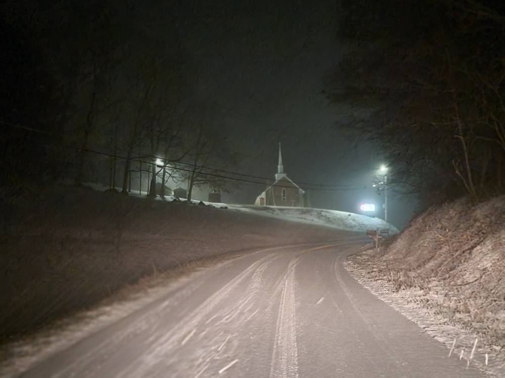
Roads are extremely treacherous throughout the majority of the county. Still snowing moderately, roads are a mess and the temp is plummeting. Down to 15 degrees with 3.5 inches of snow on the ground.
-
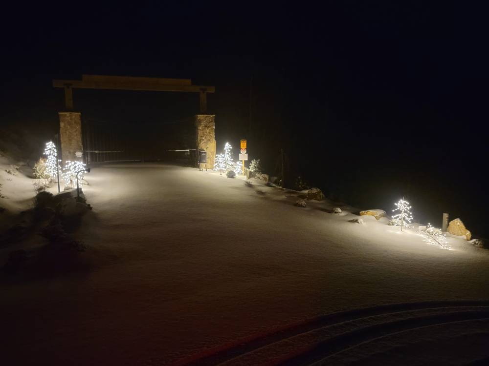
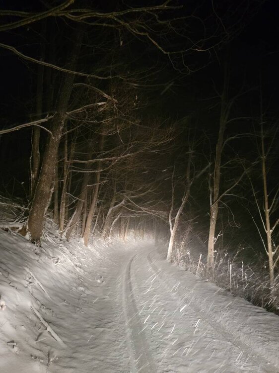
These are from my honey mountain lol. 3 plus inches and hammering. Sent from my SM-G998U using Tapatalk
-
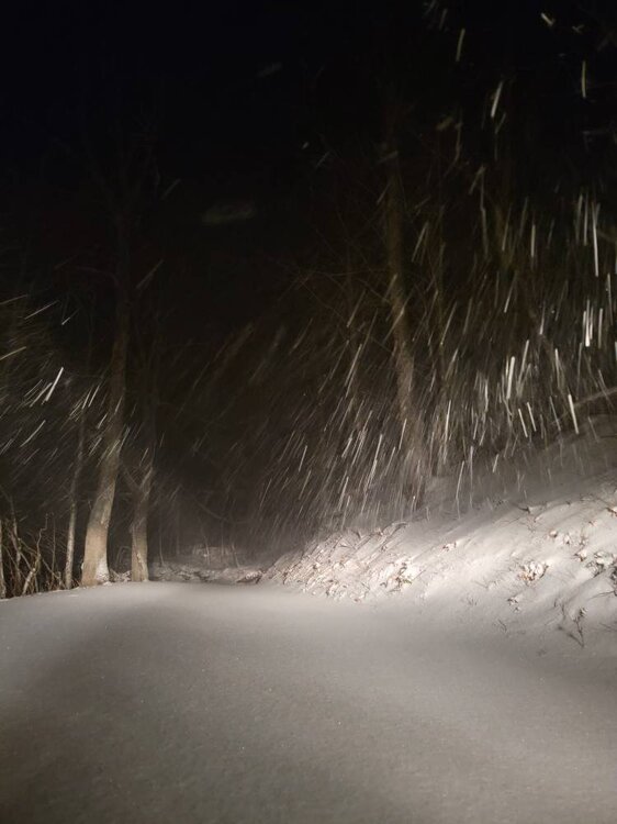
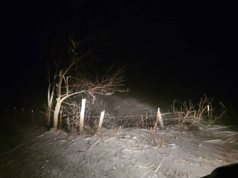
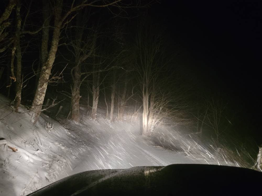
These pictures are from around downtown Clyde. Roads are extremely dangerous to be out on. Sent from my SM-G998U using Tapatalk
-
GSP radar is down also.
-
Tried to get a picture but it's absolutely puking the snow!
-
@NavarreDon hope you enjoy ol boy! We here in the mountains are getting a bit. Some more so than others but what a treat for you down on the coast! Historic to say the least.
-
Yeah moderate snow here. We have a bit over an inch of cotton candy. It's 20 degrees and you could clear this stuff with a leave blower. Should snow all night.
-
Getting reports of snow all the way down in Hendersonville.
-
Tonight is going to be great. Ratios are going to be insane.
-
Upstream looking great.
-
The flow has changed because we've had moderate to light snow for a few hours now with a temp of 23 degrees. No school tomorrow...
-
Temp down to 27. The flow is kind of wonky. Getting moderate snow currently but have had clear skies...
-
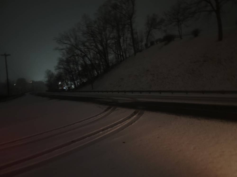
Just got home. Temp is 31 and it must have laid down the snow sometime because most surfaces are covered with a slushy quarter inch.
-
Rain in Asheville
-
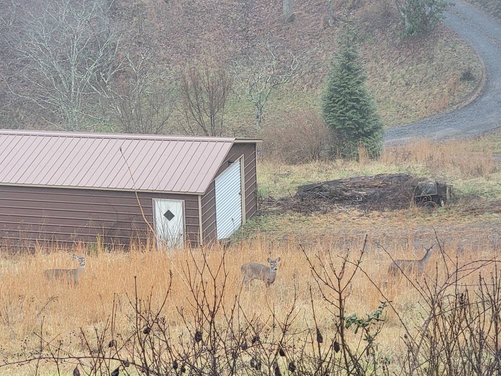
Got some grazers this morning. Sent from my SM-G998U using Tapatalk
-
Yeah no. IV been up since about 5. Just a habit. The fog here is crazy. Things start taking off this morning.
-
All systems go today! Going to be crazy! Currently starting off at 37 degrees with very dense fog. We've got everything going on today. Dense fog advisory, winter storm, and absolutely freezing temps. Sent from my SM-G998U using Tapatalk
.thumb.jpg.c67b140dc90a2a03f129a82636d81a5f.jpg)

-
I thought I was losing it for a minute....
-
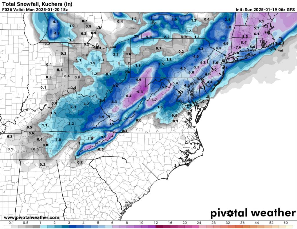
Might as well throw this into the mix as well.
-
Honestly no model has been consistent with this thing. I still believe everything is on the board still.


.jpg.a9fa76fb0f9420d6cd4384622ea86fa2.jpg)