

Met1985
-
Posts
15,300 -
Joined
-
Last visited
Content Type
Profiles
Blogs
Forums
American Weather
Media Demo
Store
Gallery
Everything posted by Met1985
-
Not as cold here. We got down to 56 with some on and off showers through the night. Nice and refreshing though.
-
Temp down to 64 degrees already at 9 pm.
-
Getting some NW flow showrs today with temps in the low to mud 60s.
-
You know that will and can change but we are still in August too. Heck Ashevilles average highs are still in the mid 80s.
-
Enjoy this freaking week
-
This week is going to be straight out of late September. Most of everyone is going to be 15 to 20 degrees below normal. Several will see there first seasonal lows in the 40s.
-
Looks like this will effect us overnight. Sent from my SM-G998U using Tapatalk
-
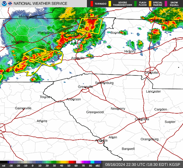
Bryson city fixing to get nailed.
-
Heads up for the SW mountains.
-
Yeah got about an inch from that line blowing through.
-
Yeah no kidding especially coming over the border like this.
-
Warnings up now for several counties.
-
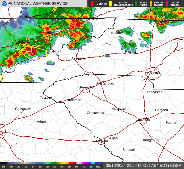
Hammering down! Sent from my SM-G998U using Tapatalk
-
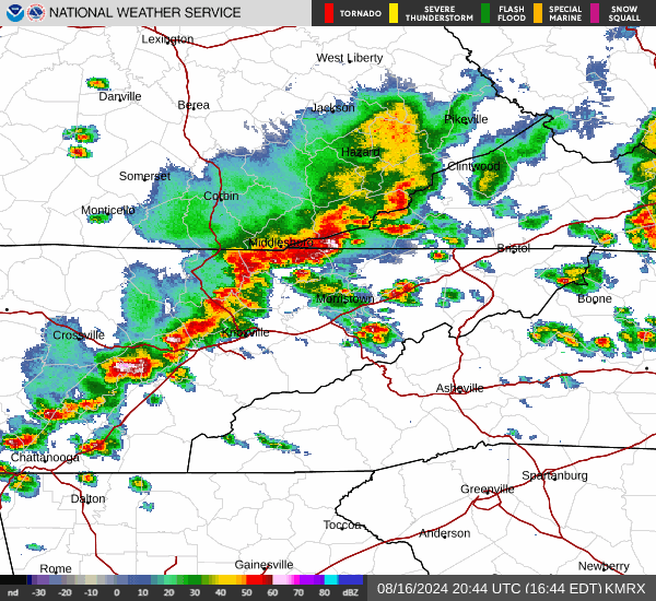
Big storms Sent from my SM-G998U using Tapatalk
-
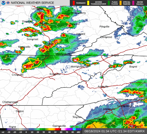
Severe Thunderstorm Warning for... Northwestern Jackson County in western North Carolina... Northeastern Swain County in western North Carolina... Northwestern Haywood County in western North Carolina... * Until 645 PM EDT. * At 555 PM EDT, severe thunderstorms were located along a line extending from 7 miles southeast of Sevierville to near Gatlinburg, moving southeast at 45 mph. HAZARD...60 mph wind gusts and penny size hail. SOURCE...Radar indicated. IMPACT...Expect damage to trees and power lines.
-
Knocking on the door. Sent from my SM-G998U using Tapatalk
-
Might get a bit bumpy later on. Sent from my SM-G998U using Tapatalk
-
Looks like we see a more pronounced push of Fall weather starting in about 3 days. Highs will be in the 60s to low 70s and lows will be from the 40s to the low 50s.
-
Had a high of 76 with a current temp of 71. Was a beautiful summer day.
-
Had a nice cool low of 56 degrees this morning.
-
Temp down to 70 currently. Hopefully we can get into the 50s tonight.
-
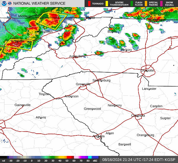
Looks like yall are going to get nailed.
-
Storms be blowing up tonight.
-
These tropical storms mean business.
-

Hurricane Debby - flooding rain threat region wide
Met1985 replied to olafminesaw's topic in Southeastern States
18z gfs Sent from my SM-G998U using Tapatalk.thumb.jpg.8f974ed67ce2783f58b93165bf032f66.jpg)


.jpg.285767a22e7f2745204c0d54a3c10ee8.jpg)