Met1985
-
Posts
16,971 -
Joined
-
Last visited
Content Type
Profiles
Blogs
Forums
American Weather
Media Demo
Store
Gallery
Everything posted by Met1985
-
Man so glad yall are getting something wintry. I know it's not a big snow but still this is a win for yall.
-
Yeah this is extremely rare for here. Especially the other side of the county are in the 40s and im at 27 degrees with moderate freezing rain still.
-
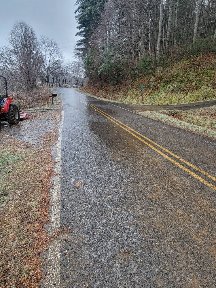
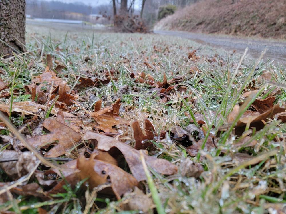
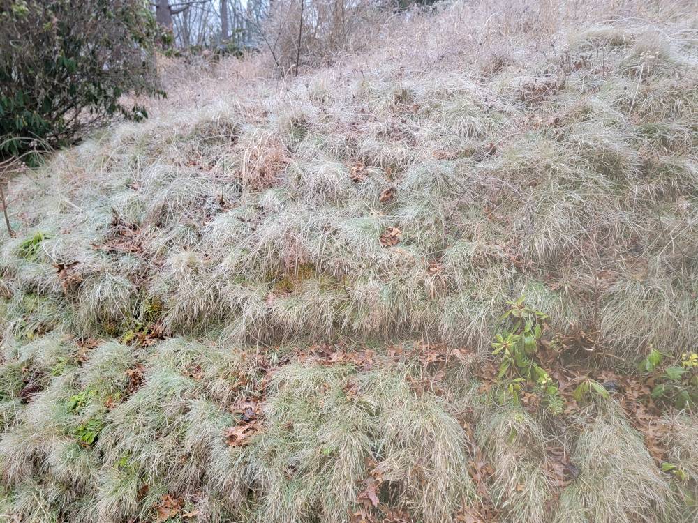
So far a decent amount on everything. It doesn't take much though to make a mess. Sent from my SM-G998U using Tapatalk

-
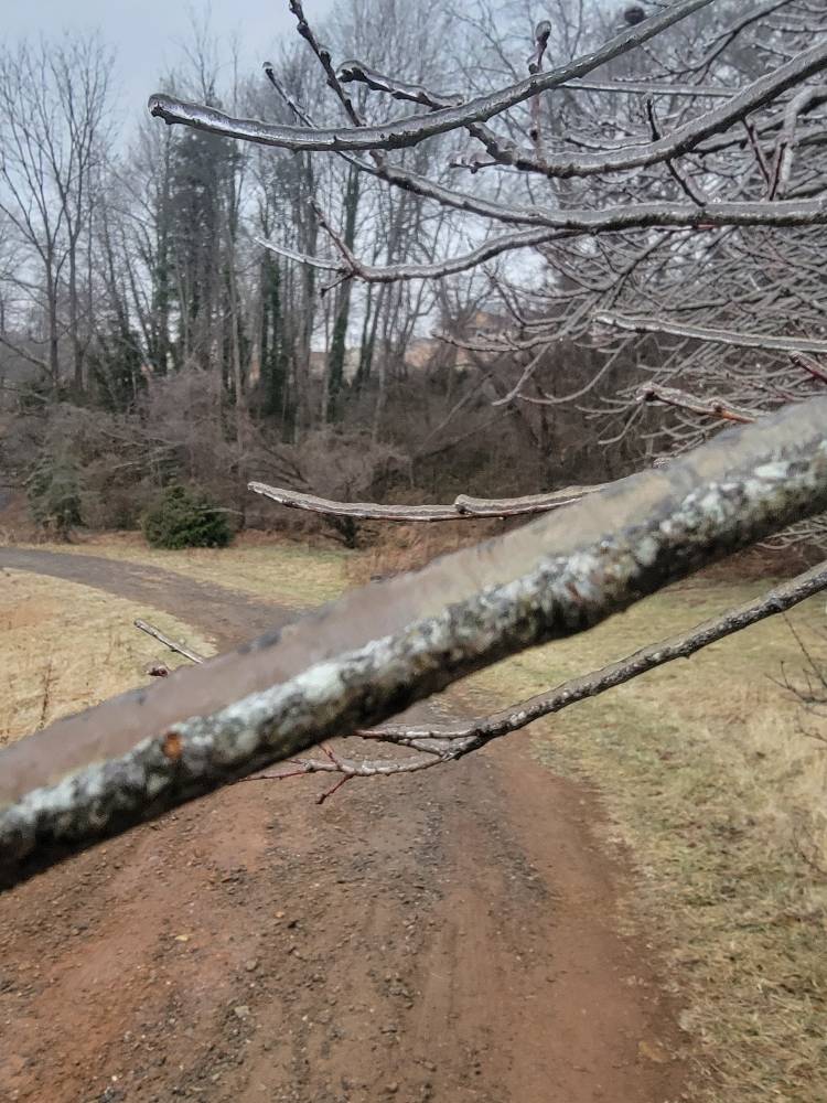
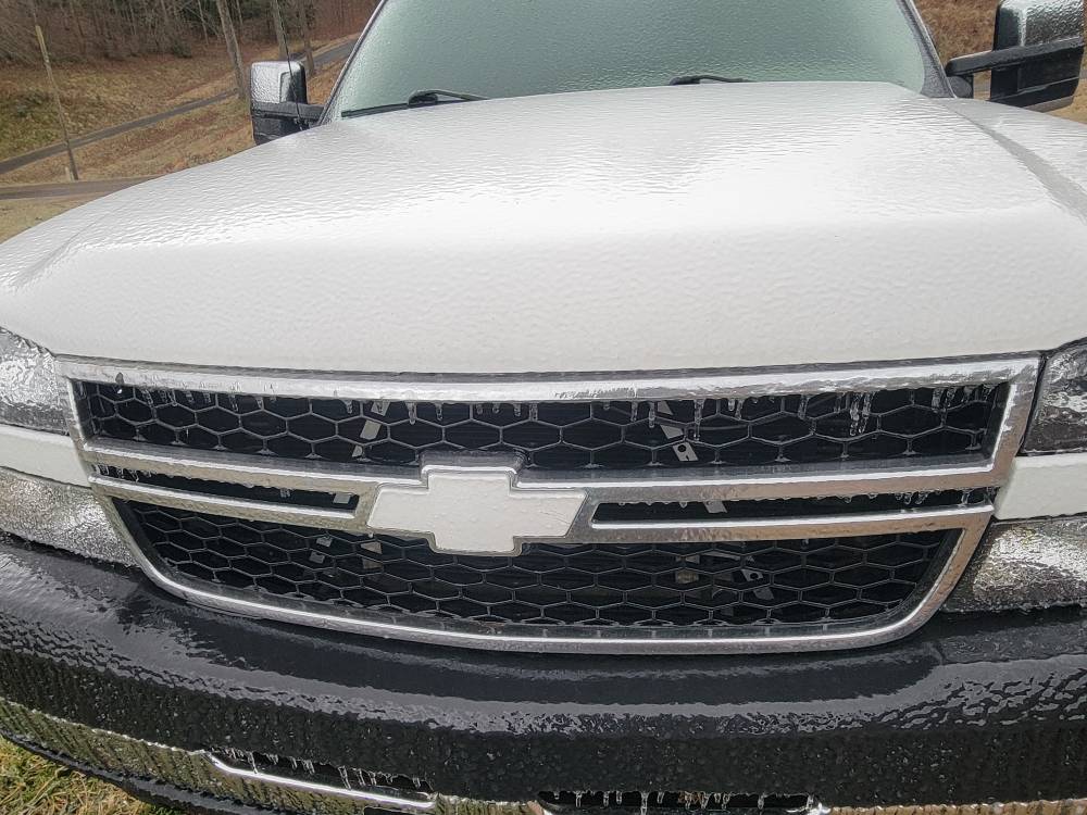
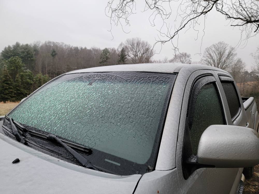
My road is a solid sheet of ice. I busted it walking around this morning. This stuff is no joke. Sent from my SM-G998U using Tapatalk


-
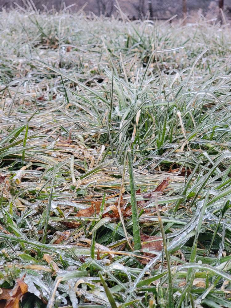
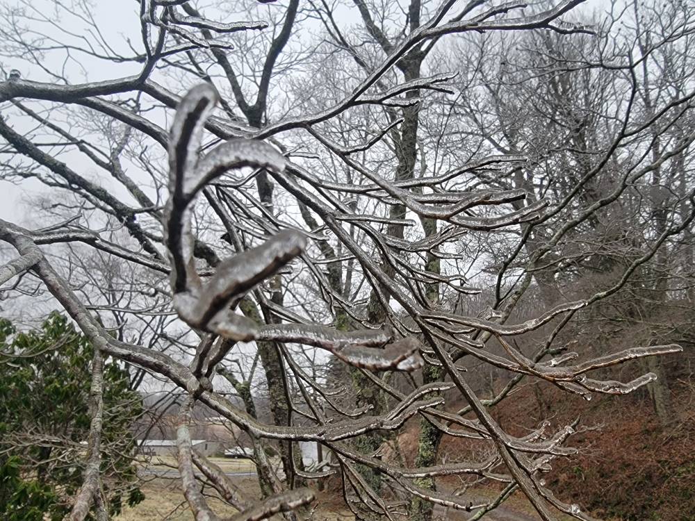
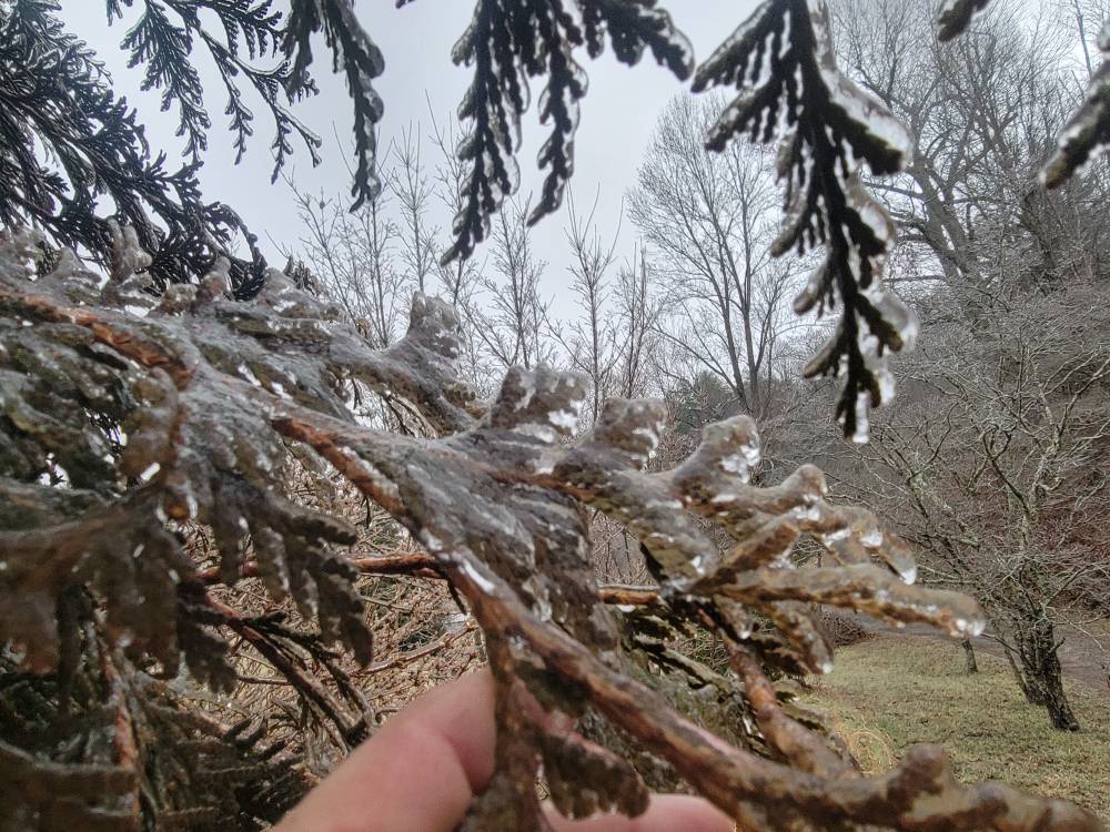
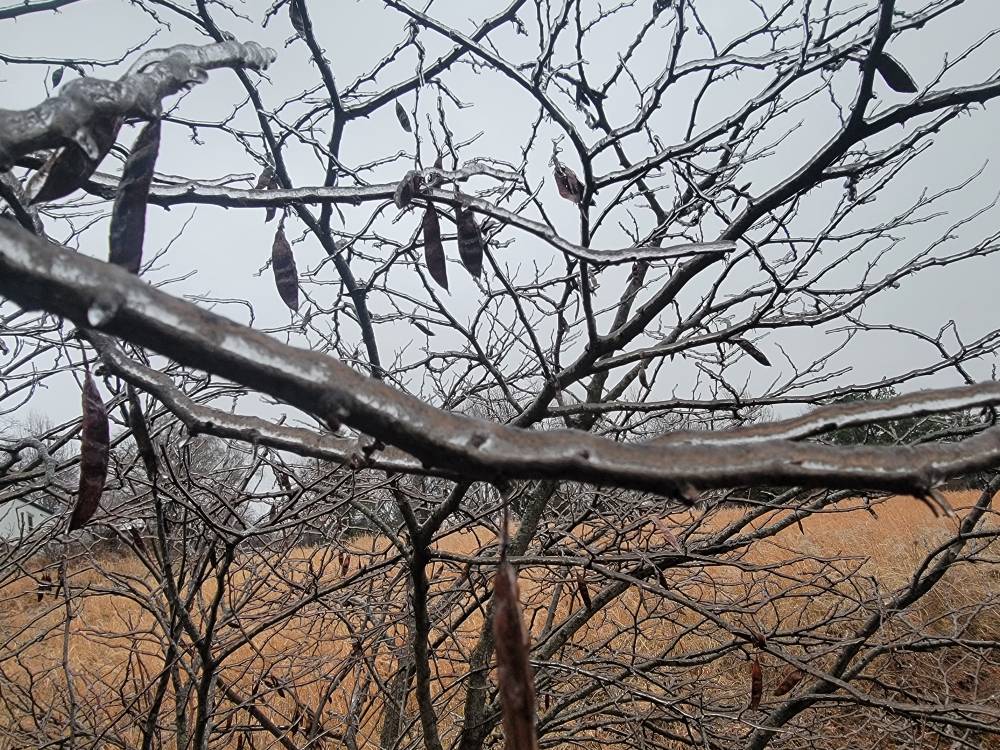
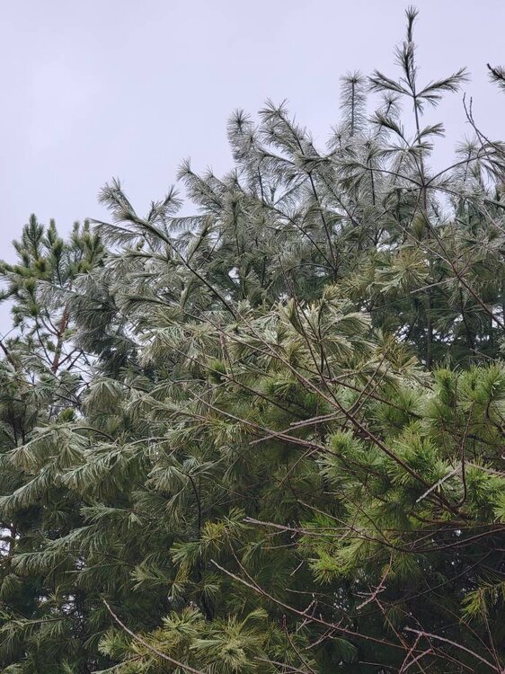
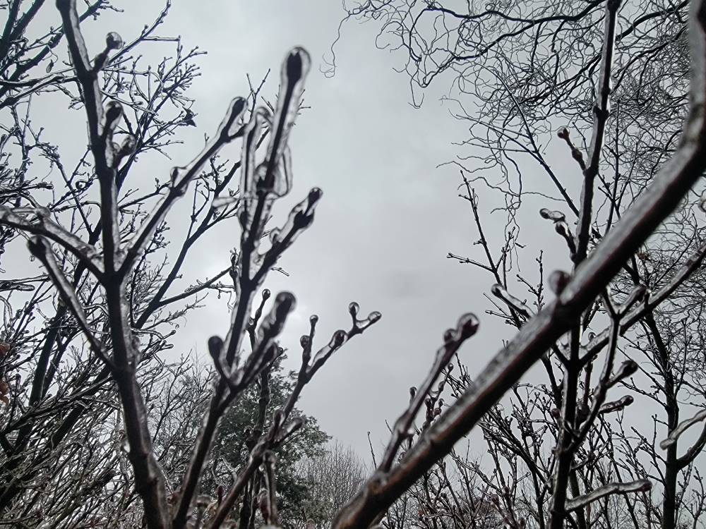
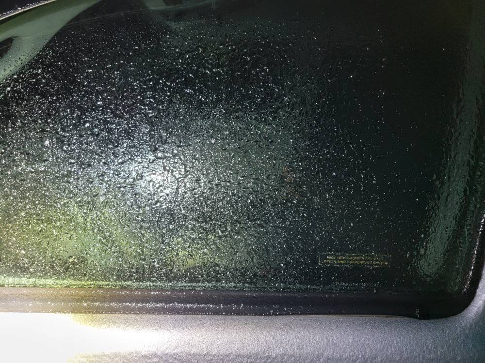
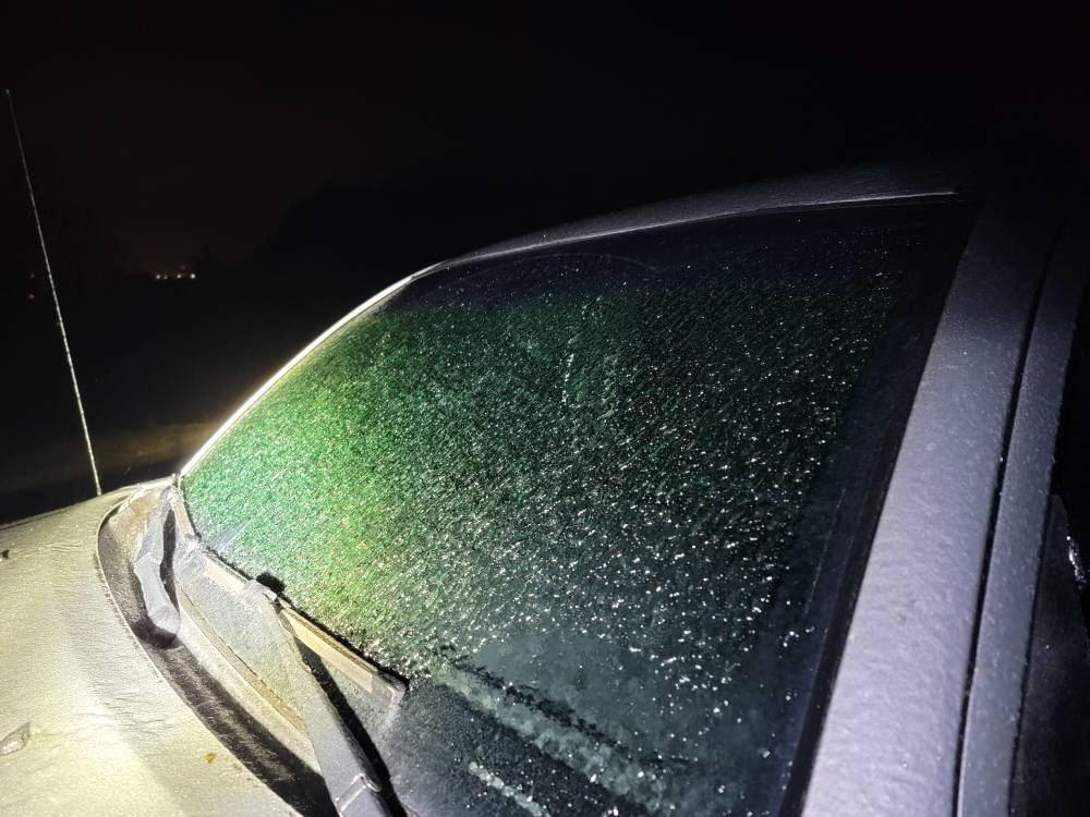
Iced up bad here and still coming down. Sent from my SM-G998U using Tapatalk
-
Yeah honestly no model had it this cold this late into the storm. I was supposed to be at 36 currently but im at 27.
-
Im very surprised this morning. Was already supposed to have warmed up but im sitting at 27 degrees with freezing rain. Will post pics soon.
-
Iced up. Sent from my SM-G998U using Tapatalk
-
Down to 23 degrees now.
-
Just dropped another degree to 24 degrees. No model really had us dropping temps like this.
-
The HRRR thermals for yall sucked. I believe it had a quick changeover tonight.
-
Don't be terrified. Enjoy this while your getting it.
-
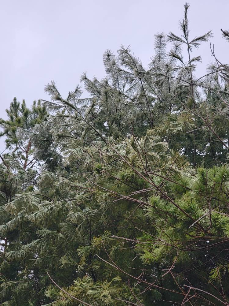
Still getting sleet in this also.
-
Yeah moderate freezing rain currently with the temp falling to 25 degrees. This is very impressive.
-

Southern Crippler - Get well soon Jimbo Storm Obs
Met1985 replied to BooneWX's topic in Southeastern States
Post pics bro. -
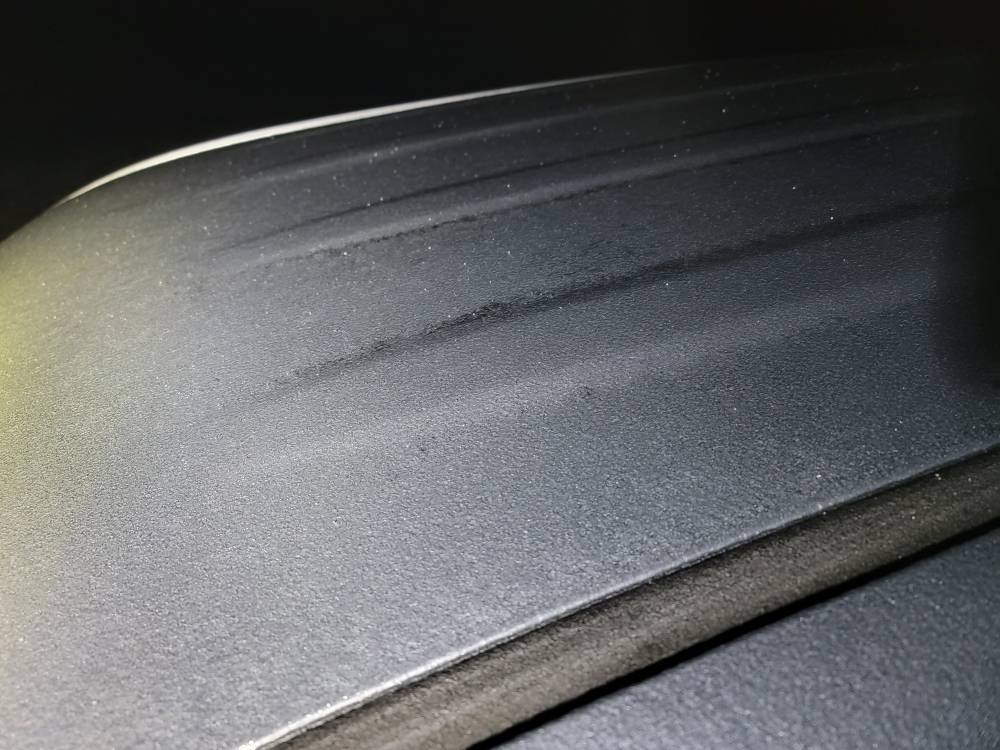
This freezing rain is the real deal. It's extremely stick out there. Roads are icy now. I just about busted it walking around. Steady moderate freezing rain.
-
Yeah if temps hold through the night we are going to be in trouble. A lot of moisture coming soon.
-
That's what I was just thinking. This thing is stout.
-
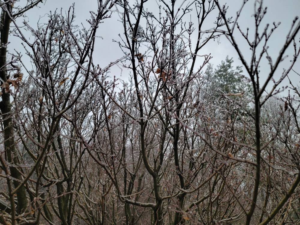
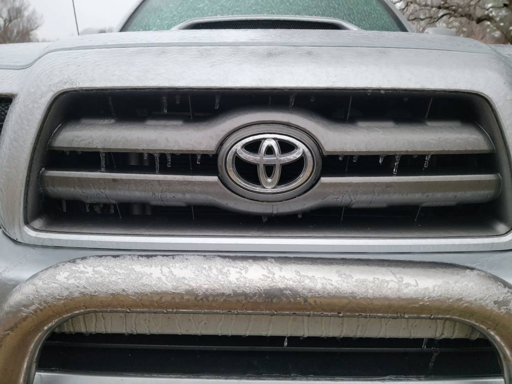
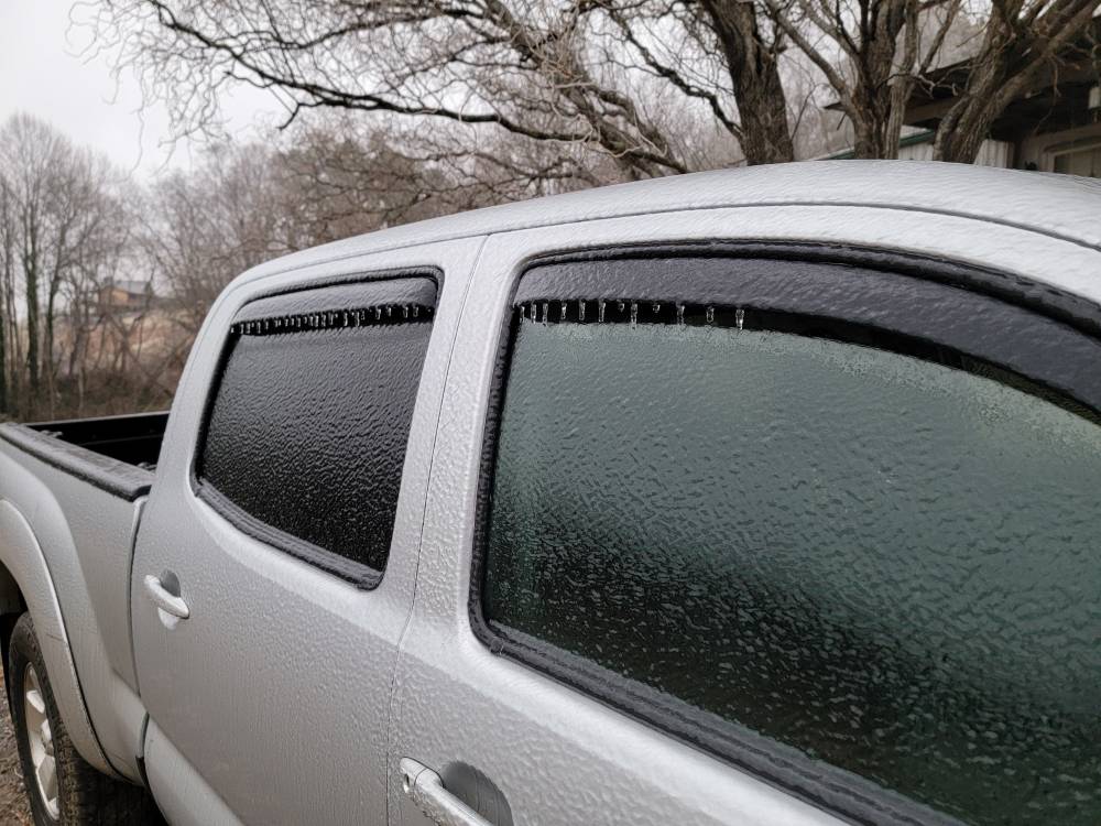
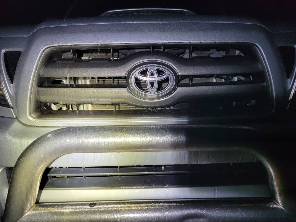
Down to 26 degrees now. Everything is covered now. Deck, car, bushes, everything is iced up now and still getting some sleet.
-
Yeah the hell with an ice storm.
-
Yall weenies are cooked.
-
Business?
-
Going the wrong way tonight. Down another degree to 27 degrees with light freezing rain and sleet. Everything is iced over now. This light stuff makes things ice up quicker.
-
Down another degree to 28 with sleet and freezing rain. Everything is getting coated.
-
Temp has dropped back to 29 degrees with freezing rain and sleet.