Met1985
-
Posts
15,283 -
Joined
-
Last visited
Content Type
Profiles
Blogs
Forums
American Weather
Media Demo
Store
Gallery
Everything posted by Met1985
-

2019/2020 Mountains and Foothills Fall/Winter Thread.
Met1985 replied to Tyler Penland's topic in Southeastern States
Light snow here with early dismissal of school. -
2019/2020 Mountains and Foothills Fall/Winter Thread.
Met1985 replied to Tyler Penland's topic in Southeastern States
Yep thats what it looks like. -
2019/2020 Mountains and Foothills Fall/Winter Thread.
Met1985 replied to Tyler Penland's topic in Southeastern States
Pretty close in my prediction. Avery-Madison-Yancey-Mitchell-Swain-Haywood-Graham- Including the cities of Banner Elk, Newland, Luck, and Waynesville 334 PM EST Thu Mar 5 2020 ...WINTER WEATHER ADVISORY IN EFFECT FROM 1 AM FRIDAY TO 10 AM EST SATURDAY ABOVE 3500 FEET... * WHAT...Snow expected. Total snow accumulations of up to 5 inches. Winds gusting as high as 50 mph. * WHERE...Elevations above 3500 feet over the North Carolina mountain Counties along the Tennessee border. * WHEN...From 1 AM Friday to 10 AM EST Saturday. * IMPACTS...Plan on slippery road conditions from snow and black ice with temperatures below freezing. The hazardous conditions will likely impact morning commutes. With soils already moist from recent rainfall, gusty winds could bring down some trees and power lines. -
2019/2020 Mountains and Foothills Fall/Winter Thread.
Met1985 replied to Tyler Penland's topic in Southeastern States
Next week looks awesome! Temps around 60 with sun. -
2019/2020 Mountains and Foothills Fall/Winter Thread.
Met1985 replied to Tyler Penland's topic in Southeastern States
I think we see an advisory go up for us along the boarder for tonight through tomorrow evening. For a quick 1 to 3 inches. -
2019/2020 Mountains and Foothills Fall/Winter Thread.
Met1985 replied to Tyler Penland's topic in Southeastern States
Excellent news man! That is awesome! Keep us updated. I was thinking maybe this spring or summer we could all have a mountain meet up or something. -
2019/2020 Mountains and Foothills Fall/Winter Thread.
Met1985 replied to Tyler Penland's topic in Southeastern States
Yeah I think the first batch could be very elevation dependent then we get the upslope later. -
2019/2020 Mountains and Foothills Fall/Winter Thread.
Met1985 replied to Tyler Penland's topic in Southeastern States
12z NAM really hammers the Northern and central mountains right along the boarder tomorrow into tomorrow night then a lul then some upslope snow comes in. The GFS shows no snow until some upslope comes through on Friday. -
2019/2020 Mountains and Foothills Fall/Winter Thread.
Met1985 replied to Tyler Penland's topic in Southeastern States
Also lets keep our neighbors in our thoughts and prayers after the devastating Tornado last night in Tennessee. -
2019/2020 Mountains and Foothills Fall/Winter Thread.
Met1985 replied to Tyler Penland's topic in Southeastern States
Sorry to hear about your mom. Thoughts and prayers for you and your family for a speedy recovery. -
2019/2020 Mountains and Foothills Fall/Winter Thread.
Met1985 replied to Tyler Penland's topic in Southeastern States
Some morning thoughts on the pattern the next few weeks. Currently the GFS is picking up on the snow potential for the 6th and the 7th this Friday and Saturday. Like Ward said the details are still to be worked out but there is a strong signal there. We may see something else down the road but that is some 10 days out. So low probability currently. The AO and NAO look to continue to be no help. It is unreal how stable they both have been this winter. The NAO has been positive since December basically and the AO has been positive since the end of December and that trend looks to continue through the month of March. So no rubberband effect this spring which I think will leads us into an early warm period that will last a long while. -
2019/2020 Mountains and Foothills Fall/Winter Thread.
Met1985 replied to Tyler Penland's topic in Southeastern States
Yeah I was reading from the NWS in Maine that was saying our longest cool stretch was in November and our warmest stretch was in winter. A very odd season for sure. -
2019/2020 Mountains and Foothills Fall/Winter Thread.
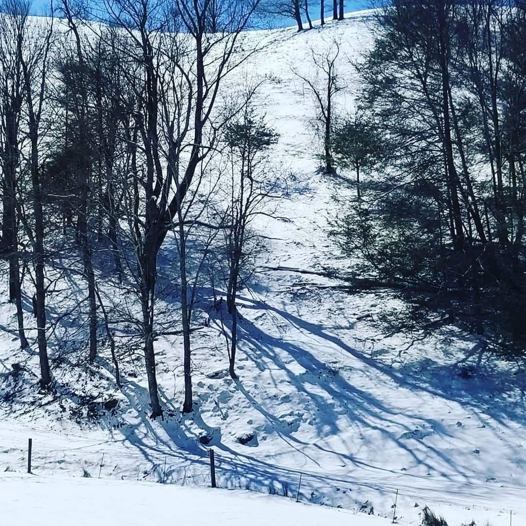
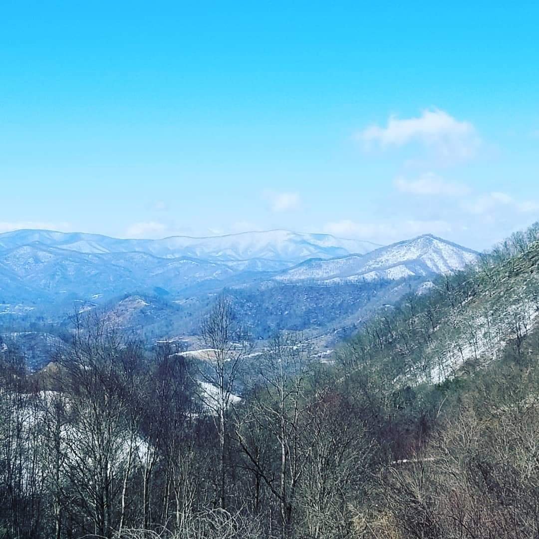
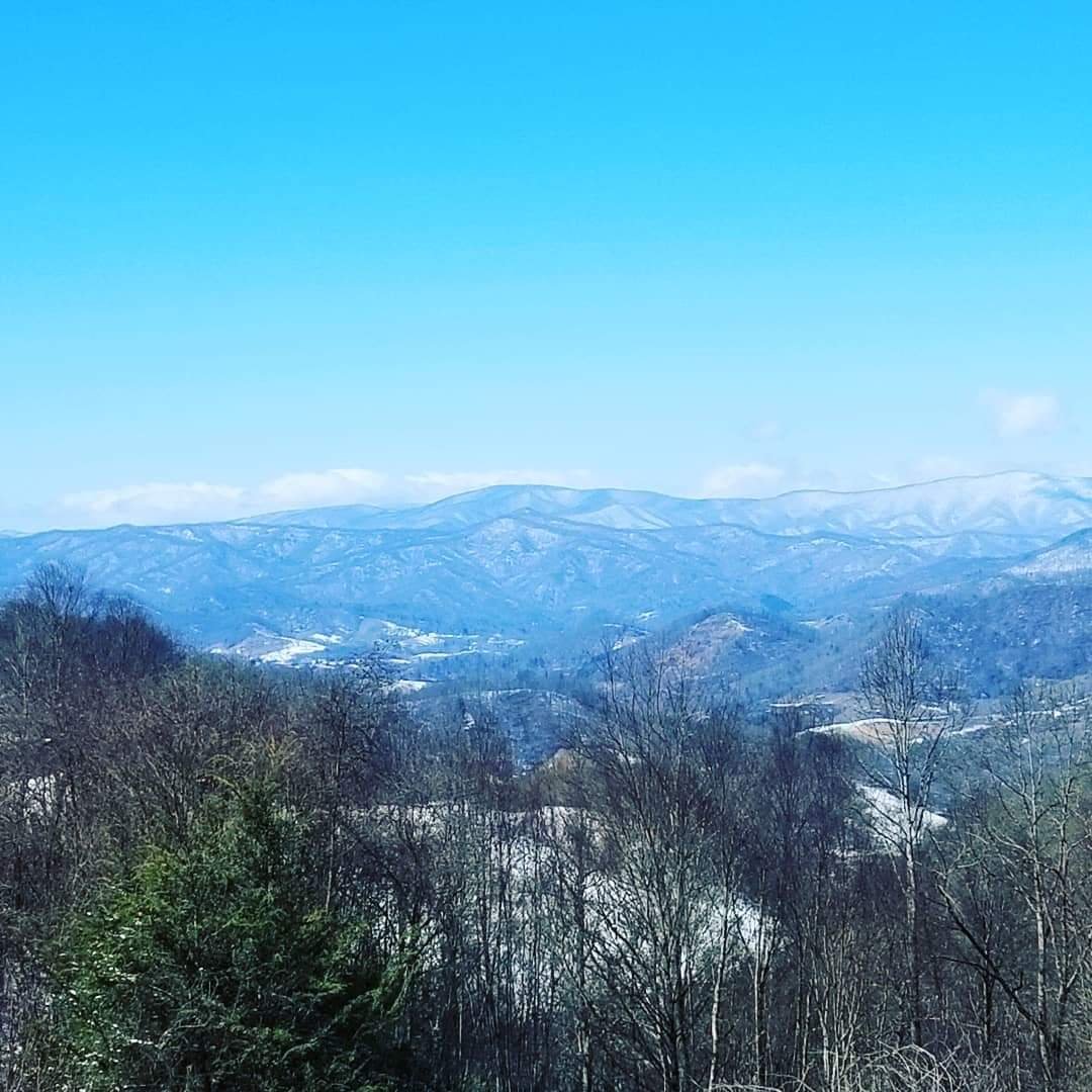
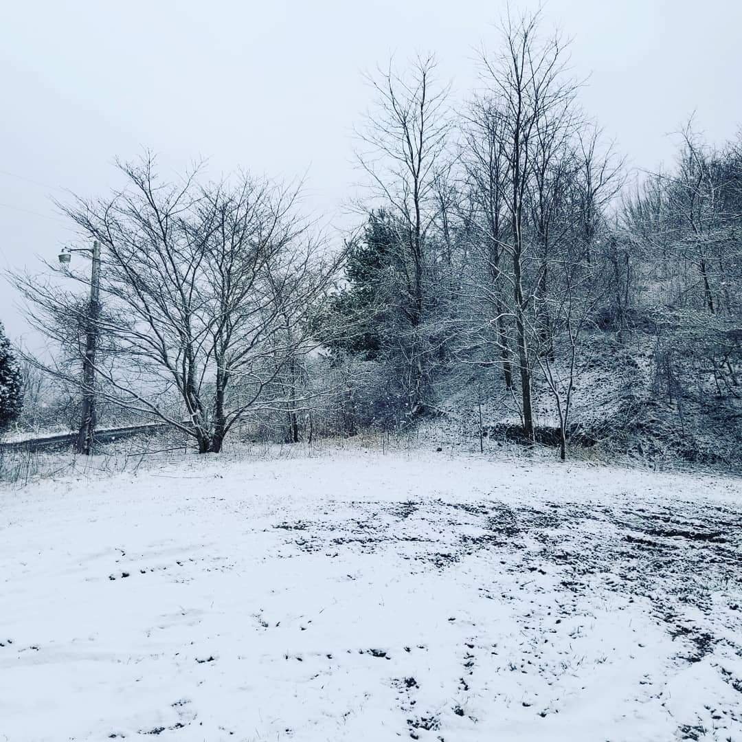
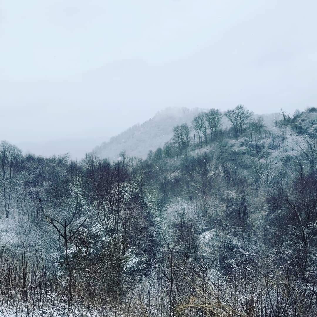
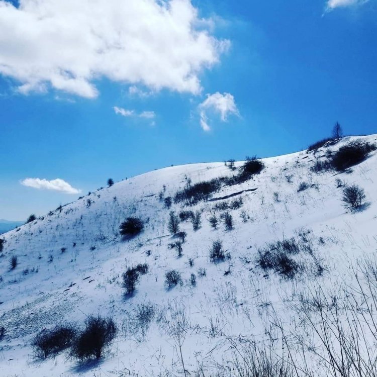
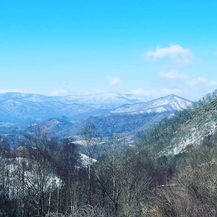
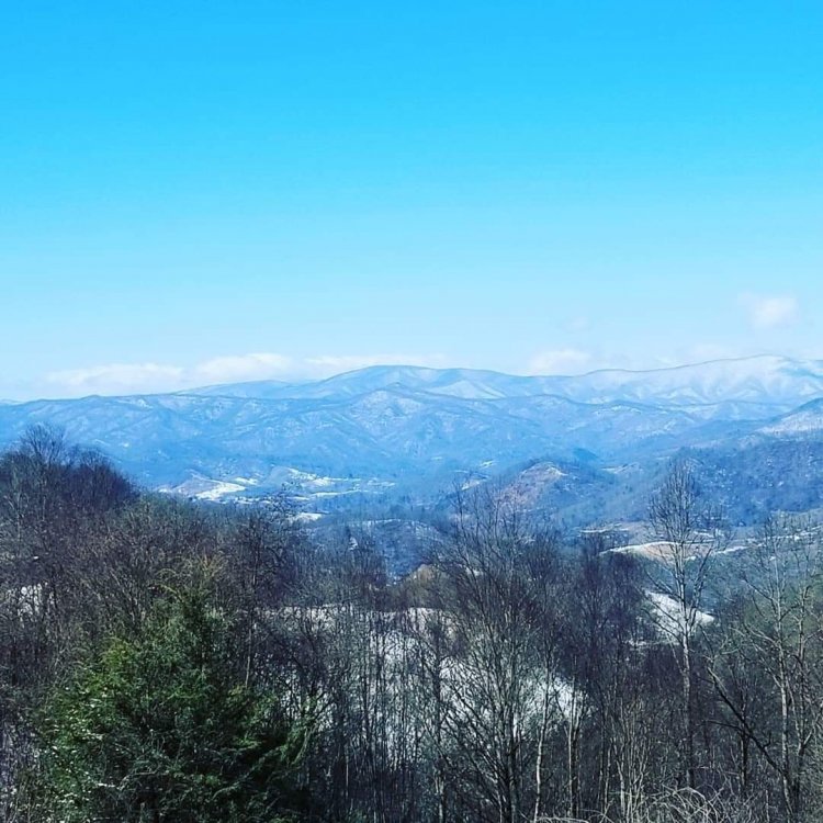
Met1985 replied to Tyler Penland's topic in Southeastern States
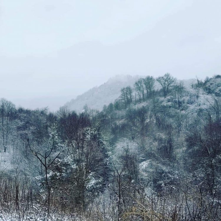
A few pics.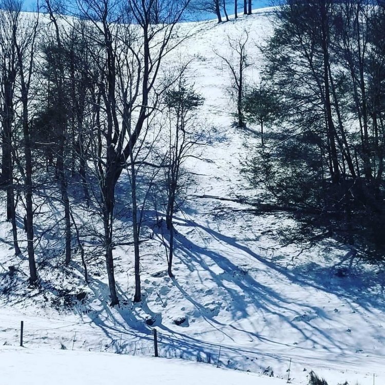
-
2019/2020 Mountains and Foothills Fall/Winter Thread.
Met1985 replied to Tyler Penland's topic in Southeastern States
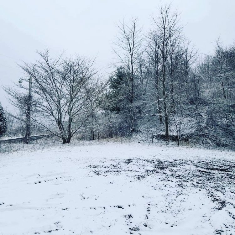
Its been ripping here this morning. We have a total of 3.5 inches and still going. The best snow of the season. Congrats to all! -
2019/2020 Mountains and Foothills Fall/Winter Thread.
Met1985 replied to Tyler Penland's topic in Southeastern States
Yep its starting to hammer fellas! Hope all enjoys! -
2019/2020 Mountains and Foothills Fall/Winter Thread.
Met1985 replied to Tyler Penland's topic in Southeastern States
The new batch of moisture will be here soon. Maybe a few hours and its go time again. -
2019/2020 Mountains and Foothills Fall/Winter Thread.
Met1985 replied to Tyler Penland's topic in Southeastern States
Can you say hammer time! -
2019/2020 Mountains and Foothills Fall/Winter Thread.
Met1985 replied to Tyler Penland's topic in Southeastern States
-
2019/2020 Mountains and Foothills Fall/Winter Thread.
Met1985 replied to Tyler Penland's topic in Southeastern States
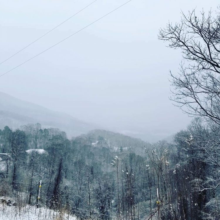
We are getting smoked finally. -
2019/2020 Mountains and Foothills Fall/Winter Thread.
Met1985 replied to Tyler Penland's topic in Southeastern States
Yeah im thinking the real brunt of it will come in tonight and tomorrow morning. -
2019/2020 Mountains and Foothills Fall/Winter Thread.
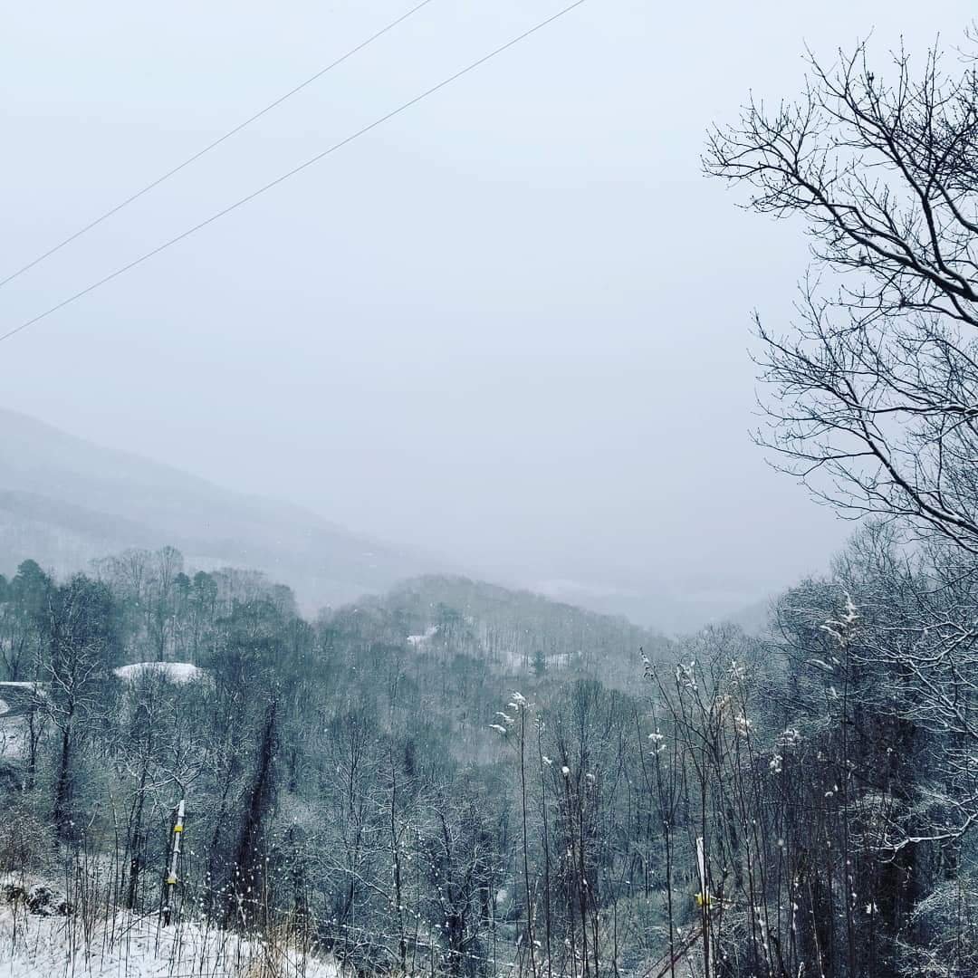
Met1985 replied to Tyler Penland's topic in Southeastern States
The tops of the mountains are already becoming hazy. -
2019/2020 Mountains and Foothills Fall/Winter Thread.
Met1985 replied to Tyler Penland's topic in Southeastern States
Within 15 minutes we went from blue sky to clouds to flurries... -
2019/2020 Mountains and Foothills Fall/Winter Thread.
Met1985 replied to Tyler Penland's topic in Southeastern States
Snowing on Plott Creek and up Allens Creek. Lol still blue skies here on this side. -
2019/2020 Mountains and Foothills Fall/Winter Thread.
Met1985 replied to Tyler Penland's topic in Southeastern States
I think this first batch is going to be mainly convective it looks like. -
2019/2020 Mountains and Foothills Fall/Winter Thread.
Met1985 replied to Tyler Penland's topic in Southeastern States
Yeah I think this is going to be sun, clouds, then snow in a short period.