Met1985
-
Posts
16,969 -
Joined
-
Last visited
Content Type
Profiles
Blogs
Forums
American Weather
Media Demo
Store
Gallery
Everything posted by Met1985
-

2022-2023 Fall/Winter Mountains Thread
Met1985 replied to BlueRidgeFolklore's topic in Southeastern States
When I left out this morning at 4:30 it was 34 with frost. Next week looks downright cold. Some days highs in the 40s and lows around 20. Peak season is approaching fast. -
2022-2023 Fall/Winter Mountains Thread
Met1985 replied to BlueRidgeFolklore's topic in Southeastern States
An absolutely stellar day!


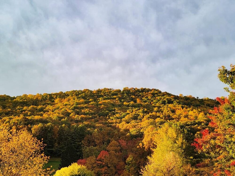
-
Yeah a very nice signal for sure.
-
Fall 2022 Medium/Long Range Forecast Discussion
Met1985 replied to Carvers Gap's topic in Tennessee Valley
Yeah so far from the end of September through current the pattern has been remarkable. Reminds me of the patterns some 15 to 20 years ago. -
2022-2023 Fall/Winter Mountains Thread
Met1985 replied to BlueRidgeFolklore's topic in Southeastern States
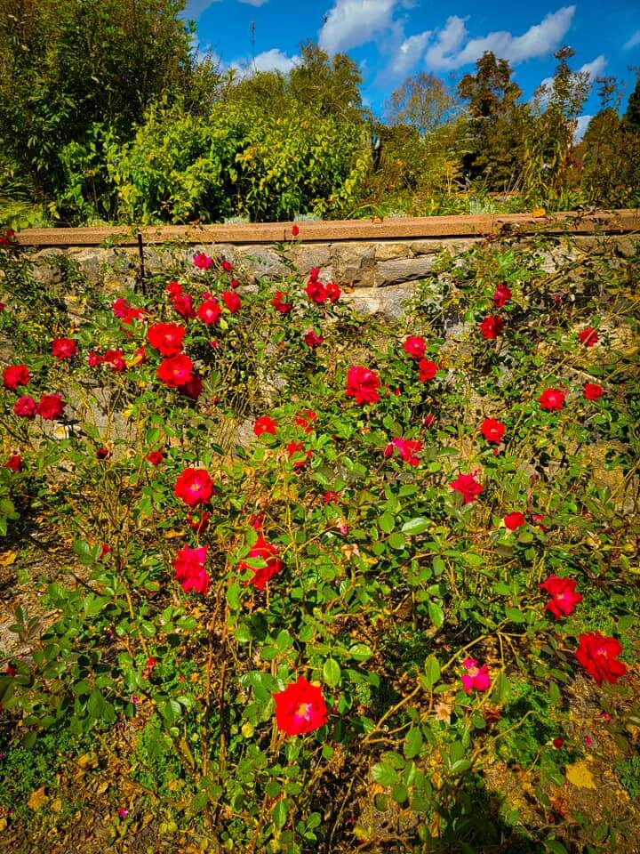
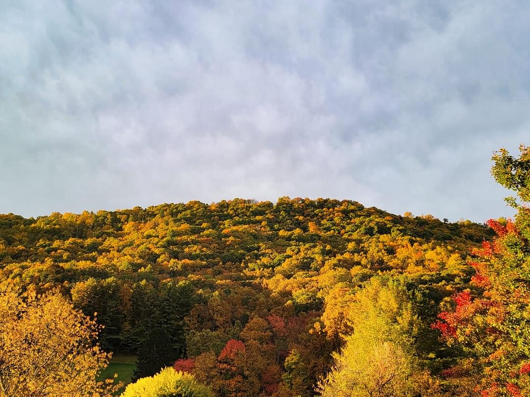
This weekend was absolutely stunning. Colors are really starting to pop. We had highs in the 60s and lows in the 30s.... -
2022-2023 Fall/Winter Mountains Thread
Met1985 replied to BlueRidgeFolklore's topic in Southeastern States
Some interesting reading in here. https://www.severe-weather.eu/ -
2022-2023 Fall/Winter Mountains Thread
Met1985 replied to BlueRidgeFolklore's topic in Southeastern States
Yeah we were roasting this time last year. What a difference a year makes -
2022-2023 Fall/Winter Mountains Thread
Met1985 replied to BlueRidgeFolklore's topic in Southeastern States
Had a nice frosty low of 33 degrees this morning. Will be a beautiful day today. -
2022-2023 Fall/Winter Mountains Thread
Met1985 replied to BlueRidgeFolklore's topic in Southeastern States
Just a stellar late afternoon here in the mountains. Mostly cloudy with a temp of 56 degrees currently. Looks like 30s tonight and tomorrow night before a brief warm-up then a freeze this weekend. -
2022-2023 Fall/Winter Mountains Thread
Met1985 replied to BlueRidgeFolklore's topic in Southeastern States
Looks like lows back in the 30s and highs around 60 for a few days then a brief warm-up before getting even colder this weekend with likely a feeeze for the mountains. -
2022-2023 Fall/Winter Mountains Thread
Met1985 replied to BlueRidgeFolklore's topic in Southeastern States
Best of luck buddy. Take care of yourself for sure. -
2022-2023 Fall/Winter Mountains Thread
Met1985 replied to BlueRidgeFolklore's topic in Southeastern States
I know we never got out of the 40s here today. Perfect weather for October. -
Winter 2022-2023 Outlook Discussion
Met1985 replied to WinstonSalemArlington's topic in Southeastern States
Id say there is really no correlation. As we have seen some very mild October's and mild winters following. Seasons in Seasons are fine with me. -
2022-2023 Fall/Winter Mountains Thread
Met1985 replied to BlueRidgeFolklore's topic in Southeastern States
Beautiful weather! -
2022-2023 Fall/Winter Mountains Thread
Met1985 replied to BlueRidgeFolklore's topic in Southeastern States
This morning we were ar 40 degrees. Looks like some beneficial rainfall on it's way starting tonight. -
2022-2023 Fall/Winter Mountains Thread
Met1985 replied to BlueRidgeFolklore's topic in Southeastern States
My final low was 31 degrees this morning with a current temp of 48 degrees. -
2022-2023 Fall/Winter Mountains Thread
Met1985 replied to BlueRidgeFolklore's topic in Southeastern States
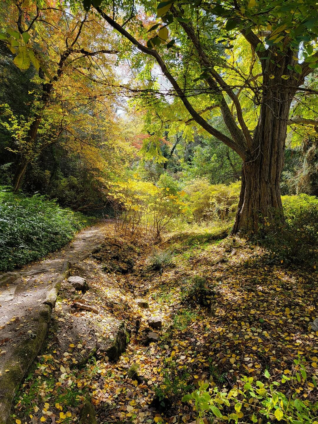
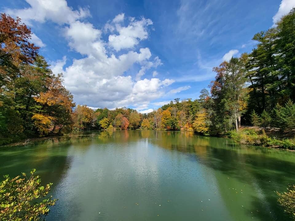
One thing is for sure we are going to definitely have some great Fall weather coming in for sure. -
2022-2023 Fall/Winter Mountains Thread
Met1985 replied to BlueRidgeFolklore's topic in Southeastern States
The euro cones further south which ups the totals back up a bit. Really until this thing hits the east coast again the models may not really get a great handle on this... -
2022-2023 Fall/Winter Mountains Thread
Met1985 replied to BlueRidgeFolklore's topic in Southeastern States
The gfs and NAM continue to correct to the east with Ian. Unless things change again the threat for flooding is extremely minimal. -
2022-2023 Fall/Winter Mountains Thread
Met1985 replied to BlueRidgeFolklore's topic in Southeastern States
Also looking out the next 5 to 7 days we are going to have a trough in place for a bit so expect the growing season to end very soon with a freeze. -
2022-2023 Fall/Winter Mountains Thread
Met1985 replied to BlueRidgeFolklore's topic in Southeastern States
The NAM came in at around 2 inches for region wide rainfall. Hardly flooding rains at that prediction but still a long ways to go. -
2022-2023 Fall/Winter Mountains Thread
Met1985 replied to BlueRidgeFolklore's topic in Southeastern States
6z gfs pulls back even more on totals from the remnants of Ian. Asheville barely gets an inch this run. A very noticeable trend the past 24 hours. -
2022-2023 Fall/Winter Mountains Thread
Met1985 replied to BlueRidgeFolklore's topic in Southeastern States
When I left the house this morning it was 33 degrees with more frost. A absolute beautiful morning. -
2022-2023 Fall/Winter Mountains Thread
Met1985 replied to BlueRidgeFolklore's topic in Southeastern States
There are big differences between the gfs and Euro with regards to rainfall here in WNC. Seems like the euro has not really been on board with really big rainfall totals. A solid 3 to 6 inches in my opinion still will cover the forecasting area but ill warn people small adjustments with the track of this could mean seeing 1 inch to 4 inches of rainfall. -
2022-2023 Fall/Winter Mountains Thread
Met1985 replied to BlueRidgeFolklore's topic in Southeastern States
Ended up with an exact low of 32 degrees and current temp is 47 already.