

Met1985
-
Posts
16,961 -
Joined
-
Last visited
Content Type
Profiles
Blogs
Forums
American Weather
Media Demo
Store
Gallery
Everything posted by Met1985
-
More rain and storms this morning. Looks like a good chance of severe weather this week as well.
-
Guess what more rain and heavy again. Looks like on and off rainfall this afternoon and evening again whenever we weren't supposed to have any more.
-
Yeah no kidding!
-
Pouring. Sent from my SM-G998U using Tapatalk
-
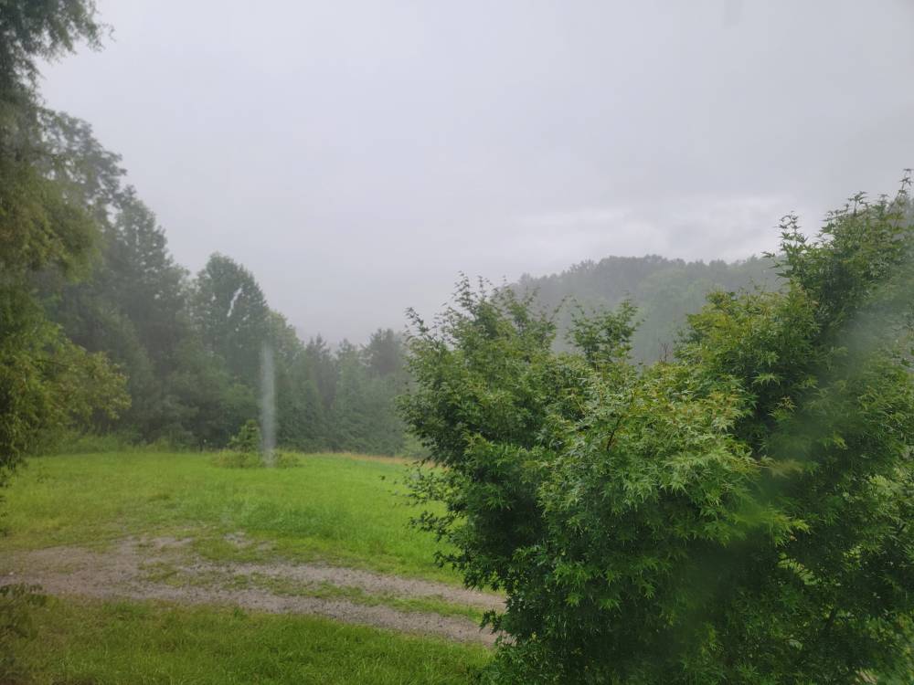
Absolutely dumping the rain this evening. Radar doesn't look like much but it's coming down hard.
-
Steady rainfall this evening.
-
Temp of 69 with rain. More widespread rain this afternoon and evening.
-
Flash flood warning for Asheville.
-
Big time storms rolling through with torrential rainfall.
-
Rolling bro!
-
Rain, rain, and more rain. Much needed.
-
Yeah I saw that. Just not sure if it makes it here but you are in a much better position.
-
We will see but it looks like today won't be a washout like once thought. A beautiful morning but humid. Looks like tomorrow and the weekend will be a better chance of rainfall.
-
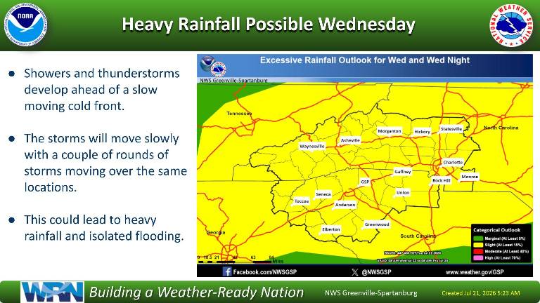
Heavy rainfall for tomorrow. Sent from my SM-G998U using Tapatalk
-
Getting hit by multiple storms this evening.
-
Nice! Yes it's very beautiful around the area.
-
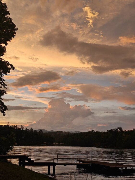
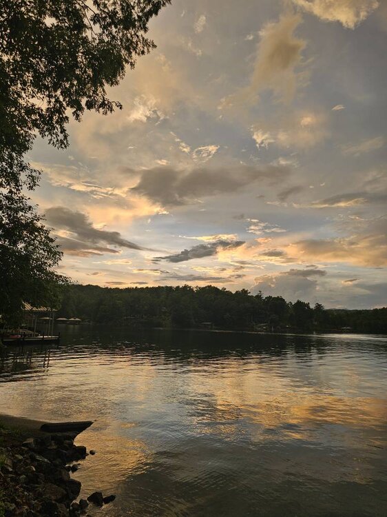
Tonight's sunset was freaking stellar! Sent from my SM-G998U using Tapatalk
-
The Asheville airport got hammered yesterday with 3.29 inches of rainfall shattering the old record of 1.61 inches. Very impressive storm there.
-
Yeah no kidding!
-
On Keowee called the north Cliffs. Beautiful up here. This summer is the first time I've been to this lake.
-
Meh the girlfriend has a lake house so we are on the beach watching it roll in.
-
Bad storm hitting home and a big storm just north of me on lake Keowee.
-
Storms popping everywhere.
-
Big time storms moving in.
-
Had a high of 60s today in the mountains.


