Met1985
-
Posts
15,289 -
Joined
-
Last visited
Content Type
Profiles
Blogs
Forums
American Weather
Media Demo
Store
Gallery
Everything posted by Met1985
-
About time!
-
The GFS just keeps upping the ante here on the NW flow snow. Another bump up in accumulations! Someone is going to see over a foot from this event. I guarantee it.
-
Yeah this upslope event is going to mean business.
-
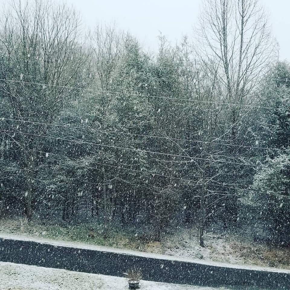
Quick dusting with good flake size.

-
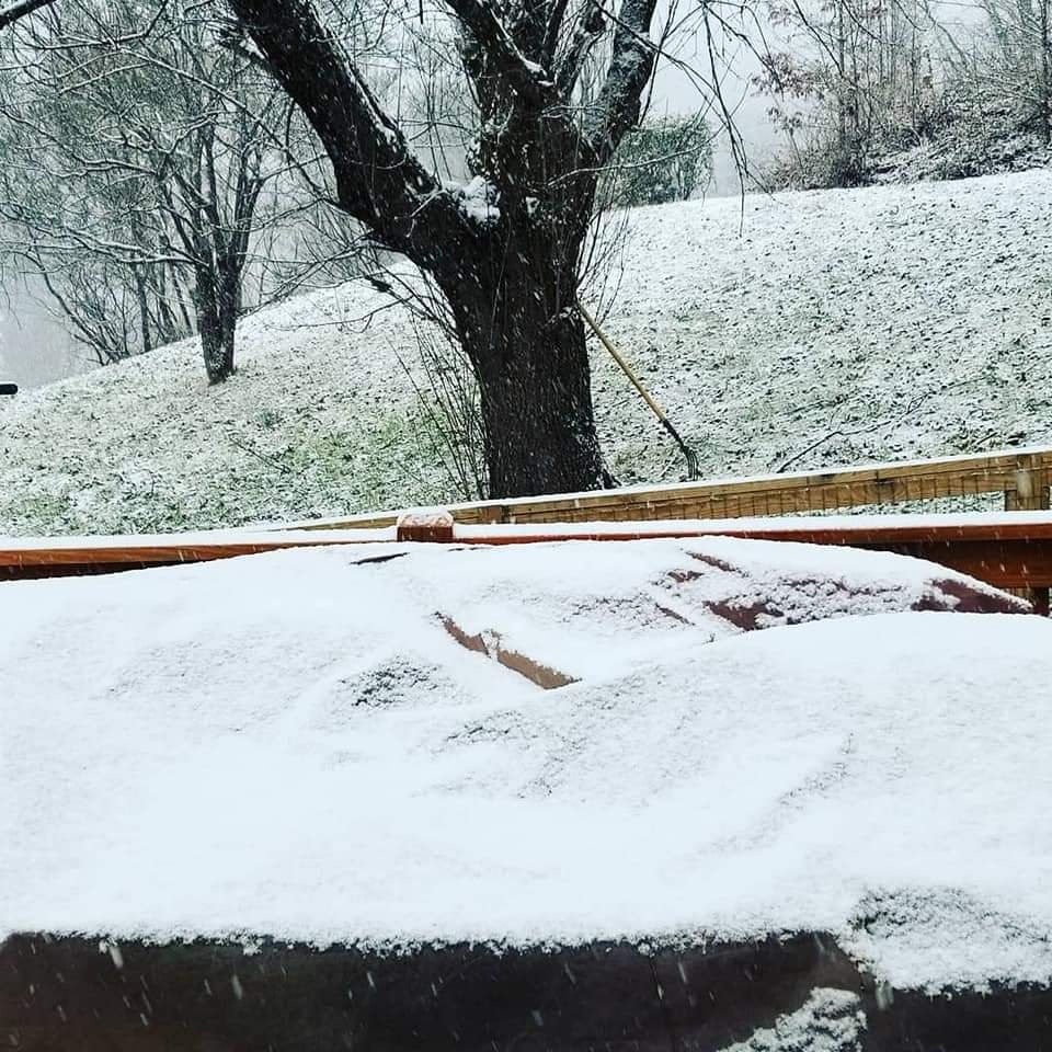
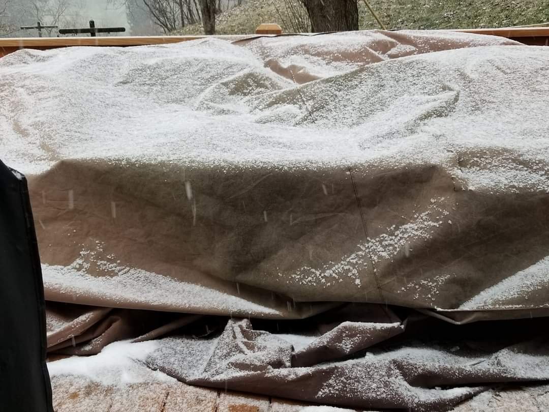
Moderate to heavy snow now. Road and driveway are turning white.
-
Yep just like that the mountains have disappeared and we have moderate snow.
-
Temp back down to 32 with light snow here at the house.
-
Temp back down to 32 with light snow here at the house.
-
Snowing moderately in the plott Balsams.
-
Yeah I was very surprised to see that from the EURO. It might be onto something... Again the euro upped totals for the upslope snow that will follow. Im very intrigued by this setup.
-
No kidding! I think it actually upped the totals a bit more. I really think this is going to be a very impressive NW flow event. This will probably be one of the best events for flow snow that we have seen in the last several years...
-
We are pinned fellas! Thanks to Buckeyefan!
-
Thank you!!!!!!
-
Yeah Candler does pretty well in these setups but its either ice or snow...
-
Had a low of 15 this morning and already up to 28... Meh im more interested in the NW flow behind the system. I am rooting for you guys up north.
-
You have any cloud cover that way?
-
I just don't want you to get sucked into that rabbit hole again lol.
-
The HRRR sucks....
-
Hey Buckeye do you think you could pin our thread please?
-
Spot on Moto. Thats one thing I've been noticing is that the totals on just about all the models are increasing just about each run. This is going to be a very impressive event I think.
-
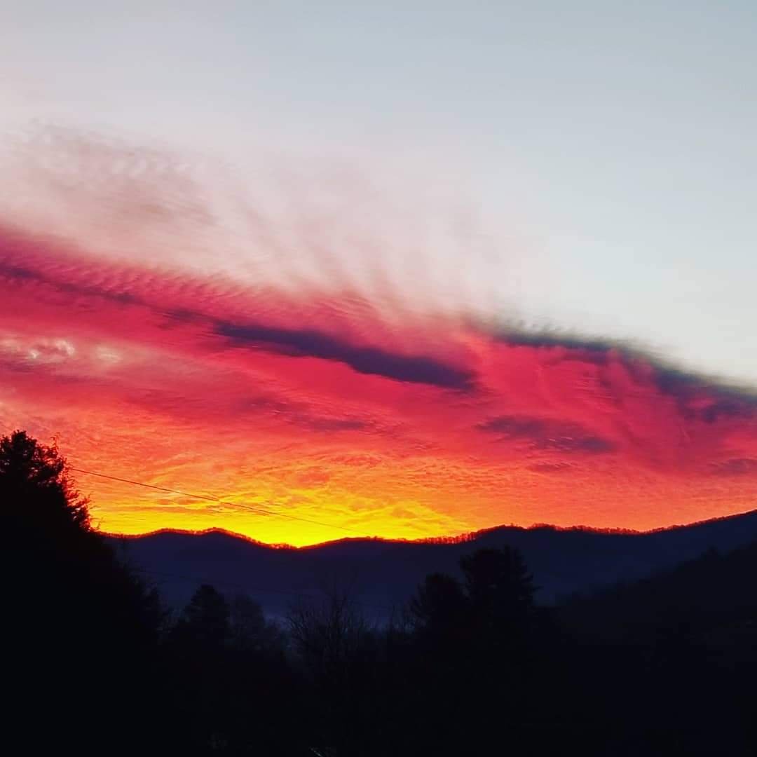
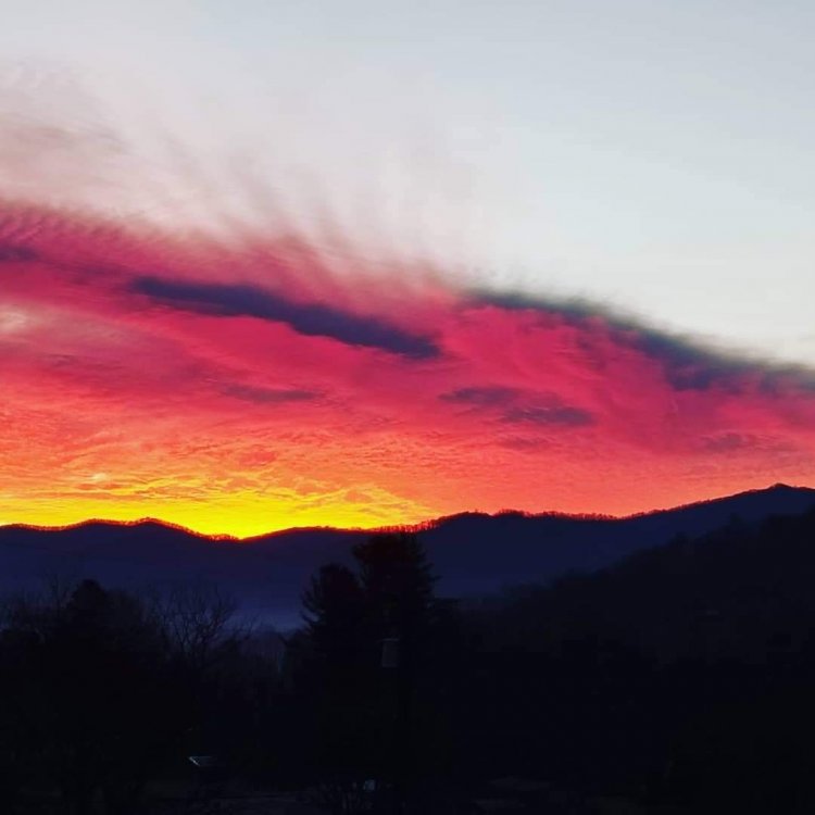
The sky was on fire this morning!

-
Hey if a moderator sees this can the mountain thread be pinned also during these events? I know we get used to us seeing winter weather but it would help just not having to scroll down so far to find our thread during these winter weather events. Thank in advance. Sincerely Met1985.
-
Looks like things are going to be a sloppy mess for tonight into tomorrow morning for a lot of the mountains but how long does the cold air hang on and how much is snow or ice will probably be a real time unfolding of things. Anyways it will be fun to watch. As for the upslope machine unfolding Sunday night into Monday night, the signal is very strong. This looks to be a very impressive event. Im even seeing were some places could approach a foot of snow according to the GFS. im still going with the 3 to 6 inches but that may need to be upped by tomorrow morning. Should be our most impressive upslope event of the season.
-
For the little people! Swain-Haywood-Northern Jackson-Southern Jackson- Including the cities of Waynesville and Tuckasegee 421 AM EST Sat Jan 30 2021 ...WINTER WEATHER ADVISORY IN EFFECT FROM 8 PM THIS EVENING TO NOON EST SUNDAY ABOVE 3500 FEET... * WHAT...Mixed precipitation expected. Total snow accumulations of up to one inch and ice accumulations of up to two tenths of an inch. Winds gusting as high as 45 mph. * WHERE...Swain, Haywood, Northern Jackson and Southern Jackson Counties. * WHEN...From 8 PM this evening to noon EST Sun