Met1985
-
Posts
16,974 -
Joined
-
Last visited
Content Type
Profiles
Blogs
Forums
American Weather
Media Demo
Store
Gallery
Everything posted by Met1985
-
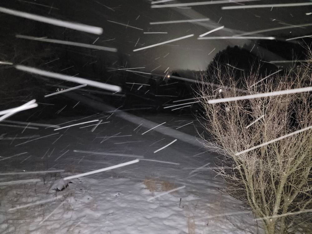
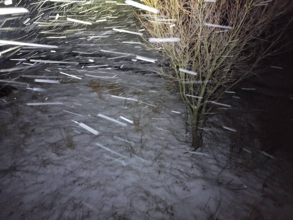
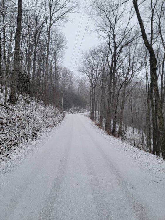
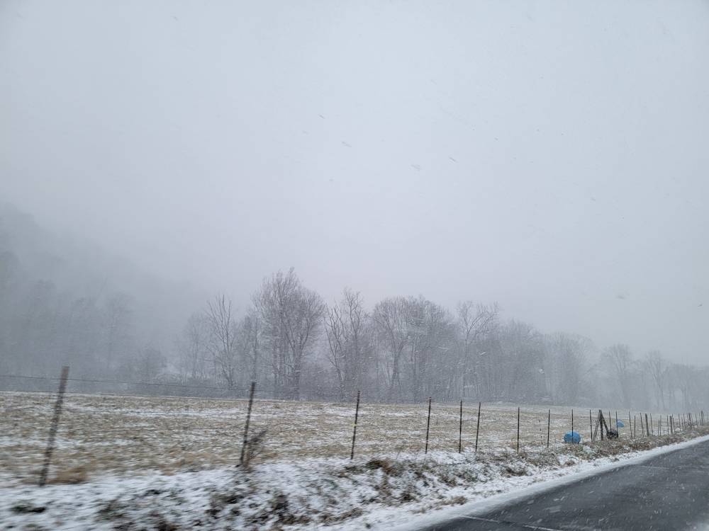
First light this morning. Still pouring the snow. Sent from my SM-G998U using Tapatalk
-
How much you got?
-
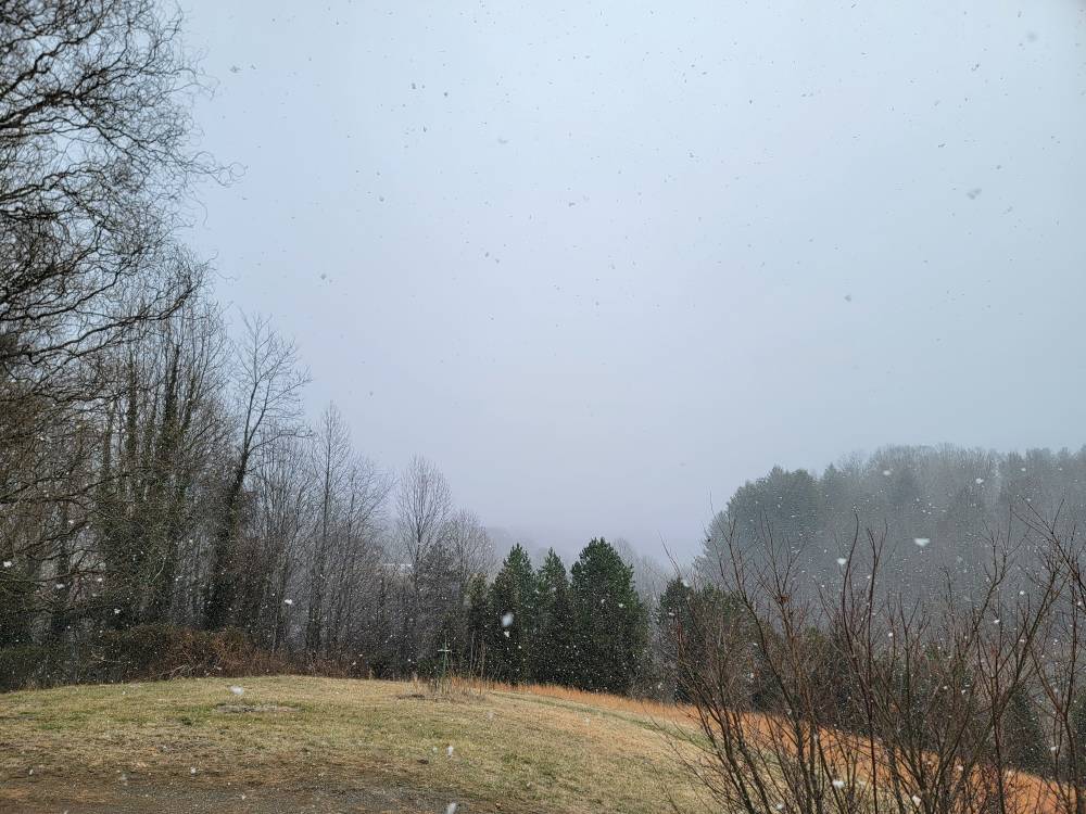
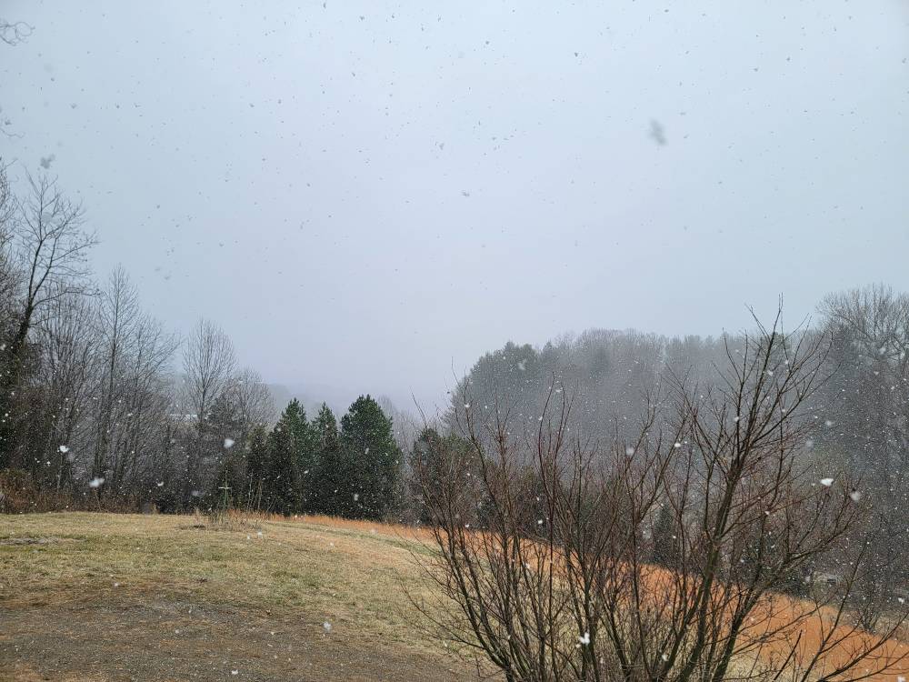
Morning pics Sent from my SM-G998U using Tapatalk
-
It's 12 degrees here and absolutely dumping. Whiteout conditions this morning. Eyeballing about 6 inches but ill go out and measure soon.
-
13 degrees and dumping again.
-
Currently light snow with 2.5 inches and a temp of 16 degrees. That was a fun squall.
-
It's absolutely dumping the snow! 2 inches and counting. Just puking. Sent from my SM-G998U using Tapatalk
-
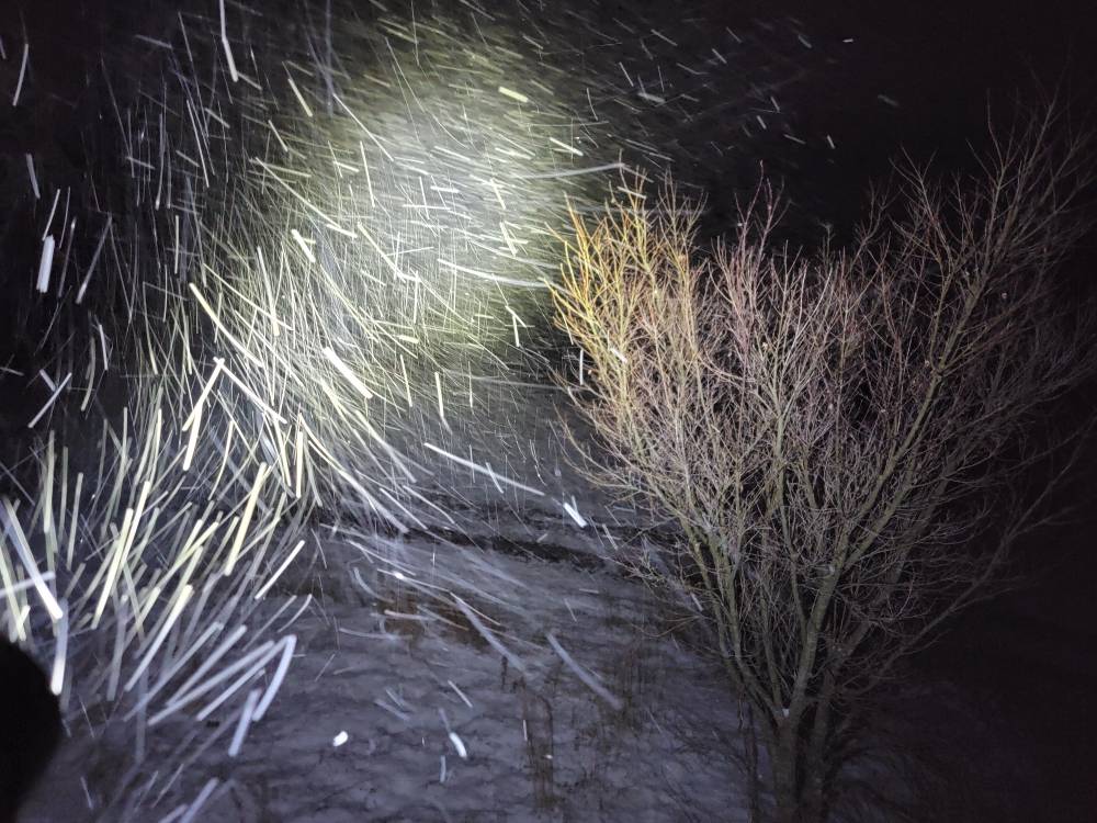
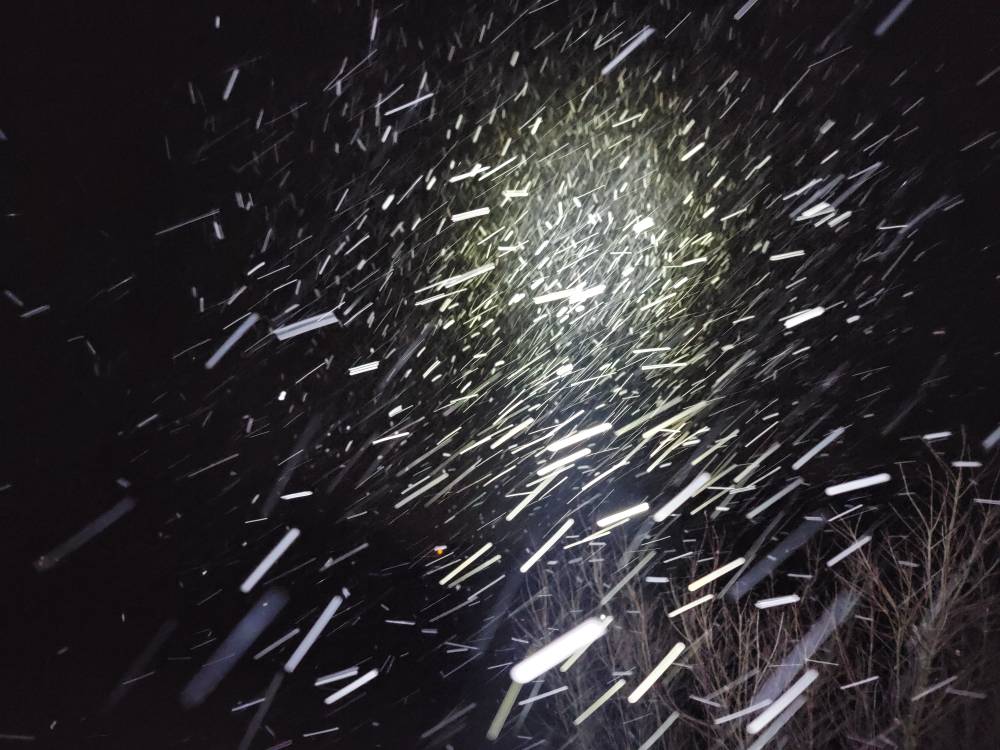
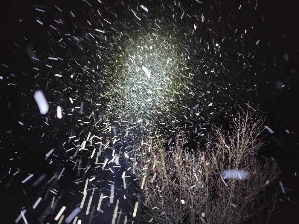
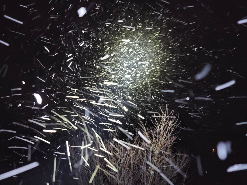
This evenings squalls are some of the best of the year. Absolutely laying it down with large flakes.
-
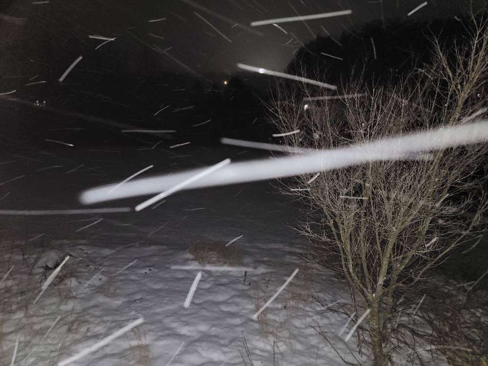
Heavy snow with over an inch so far. Some cool nighttime pics. Sent from my SM-G998U using Tapatalk
-
I'm back at the house with heavy snow, a temp of 19 degrees, and closing in on 1 inch of snow.
-
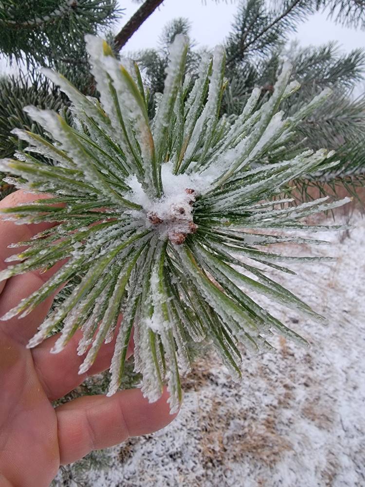
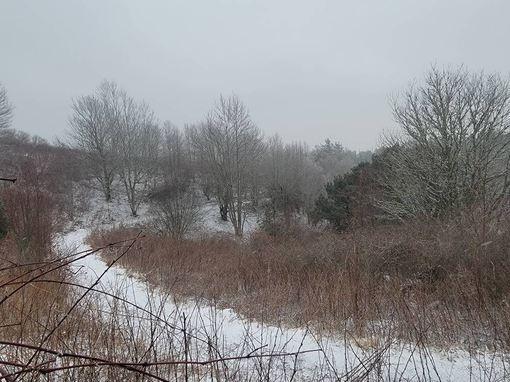
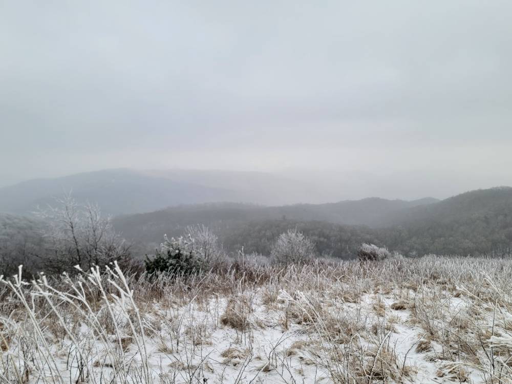
Went up to Max Patch this afternoon. Wasn't a lot of snow really but was beautiful. There was 1/4 inch of snow and the temp up there was 16 degrees. Sent from my SM-G998U using Tapatalk

-
Scotch whiskey. Balvenie
-
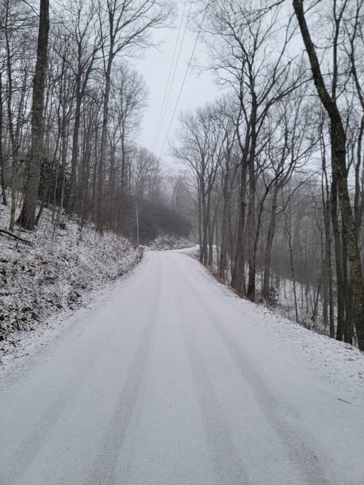
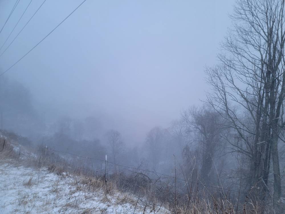
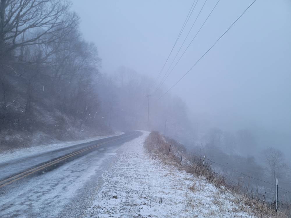
Absolutely soaked in here in my neck of the woods. Visibility below 1/4 of a mile.
-
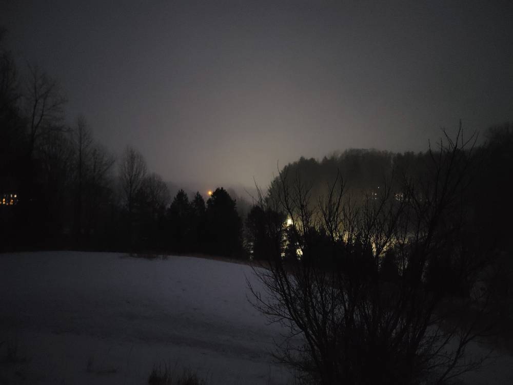
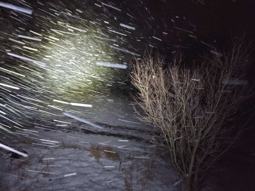
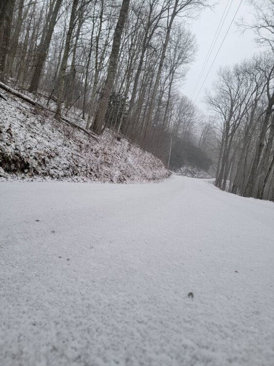
Top of my mountain. Hammering! Sent from my SM-G998U using Tapatalk
-
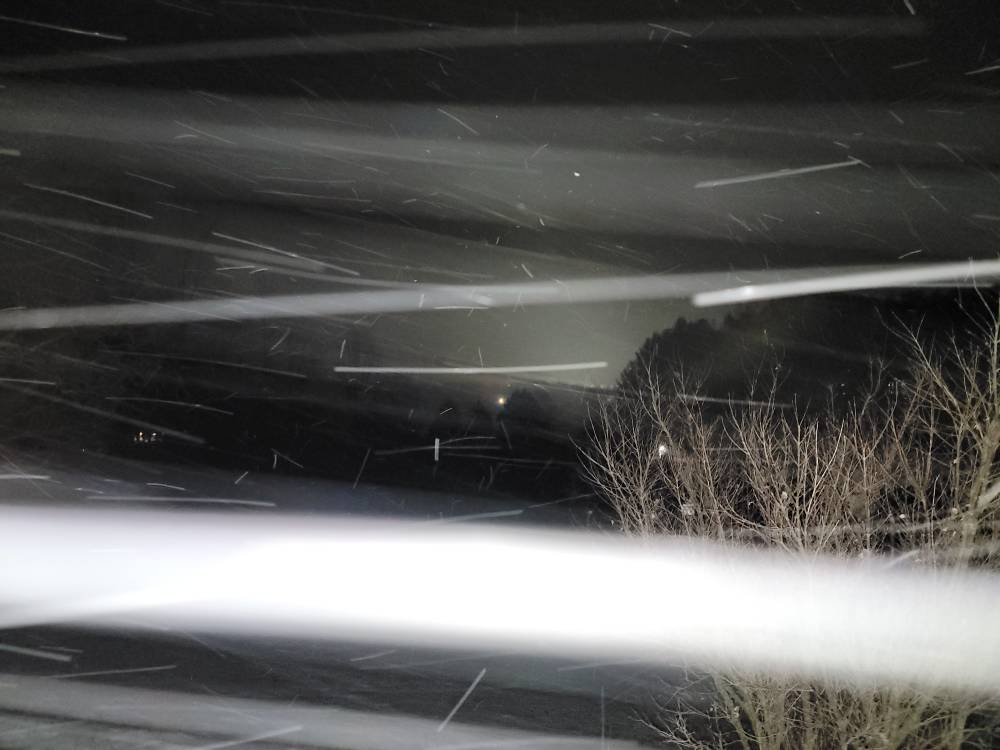
Heavy snow now Sent from my SM-G998U using Tapatalk
-
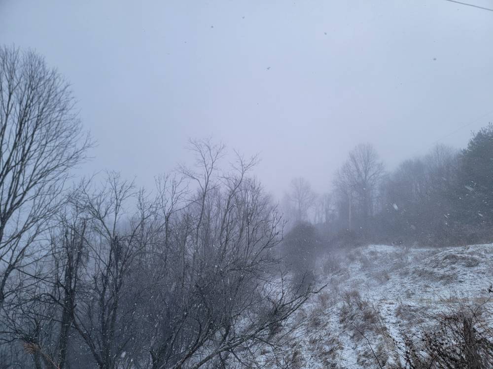
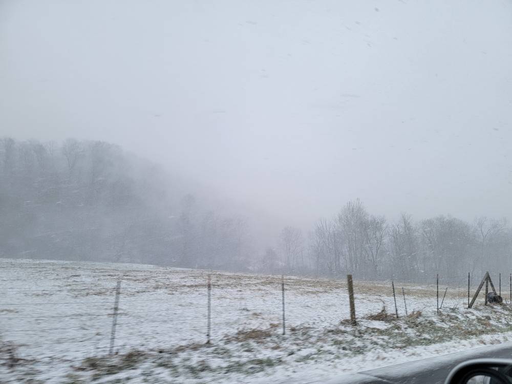
The snow is really coming down.
-
Nothing sticking yet but snowing nicely. Sent from my SM-G998U using Tapatalk
-
Friend up in Delaware said they just switched from rain to snow up there. Let the plastering begin up there.
-
Snowing here lightly with a dusting on the vehicle.
-
Mitchell- Including the cities of Poplar and Spruce Pine 150 PM EST Sat Feb 21 2026 ...WINTER STORM WARNING IN EFFECT FROM MIDNIGHT TONIGHT TO MIDNIGHT EST MONDAY NIGHT ABOVE 3500 FEET... ...WINTER WEATHER ADVISORY IN EFFECT FROM MIDNIGHT TONIGHT TO MIDNIGHT EST MONDAY NIGHT BELOW 3500 FEET... * WHAT...For the Winter Storm Warning above 3500 feet, heavy snow expected. Total snow accumulations between 5 and 10 inches. For the Winter Weather Advisory below 3500 feet, snow expected. Total snow accumulations between 1 and 4 inches, with higher amounts along the Tennessee border. * WHERE...Mitchell County. * WHEN...From midnight tonight to midnight EST Monday Night.
-
Avery- Including the cities of Banner Elk, Ingalls, and Newland 150 PM EST Sat Feb 21 2026 ...WINTER STORM WARNING IN EFFECT FROM MIDNIGHT TONIGHT TO MIDNIGHT EST MONDAY NIGHT... * WHAT...Heavy snow expected. Total snow accumulations mostly between 2 and 6 inches, with amounts up to 10 inches possible along the Tennessee border and in the high elevations. * WHERE...Avery County. * WHEN...From midnight tonight to midnight EST
-
Swain- 150 PM EST Sat Feb 21 2026 ...WINTER WEATHER ADVISORY IN EFFECT FROM MIDNIGHT TONIGHT TO MIDNIGHT EST MONDAY NIGHT ABOVE 3500 FEET... * WHAT...Snow expected above 3500 feet. Total snow accumulations mainly between 3 and 7 inches, with a foot or more possible on the high peaks of the Smokies. Up to an inch is possible in the valleys beneath the Smokies. * WHERE...The high elevations of Swain County. * WHEN...From midnight tonight to midnight EST Monday Night.
-
Madison-Yancey-Haywood- Including the cities of Cruso, Luck, Ramseytown, Waterville, Micaville, Swiss, Burnsville, Busick, Walnut, Cove Creek, Waynesville, Hot Springs, Allenstand, Marshall, Canton, Mars Hill, Faust, and Celo 150 PM EST Sat Feb 21 2026 ...WINTER WEATHER ADVISORY IN EFFECT FROM MIDNIGHT TONIGHT TO MIDNIGHT EST MONDAY NIGHT... * WHAT...Snow expected. Total snow accumulations mainly between 1 and 3 inches in the valleys. 4 to 7 inches with locally higher amounts are expected in the higher elevations, mainly along the Tennessee border. * WHERE...Haywood, Madison, and Yancey Counties. * WHEN...From midnight tonight to midnight EST Monday Night.
-
Nice!
-
Yeah it did fold big time up there. Would love to be on the coast in New England getting a snowacaine.