Met1985
-
Posts
16,970 -
Joined
-
Last visited
Content Type
Profiles
Blogs
Forums
American Weather
Media Demo
Store
Gallery
Everything posted by Met1985
-
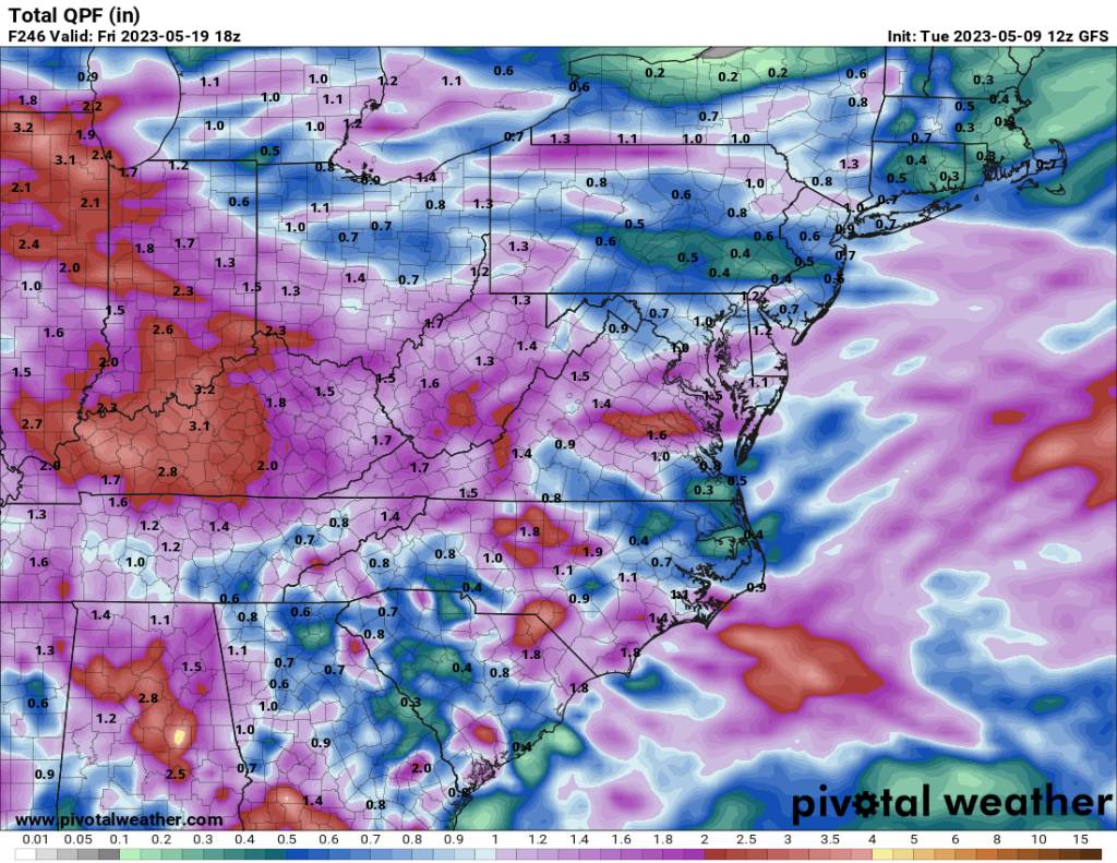
Looks like some rainfall over the next 10 days. Will take it. Sent from my SM-G998U using Tapatalk

-
Yeah I bet. I went into work at 4:30 so no such luck here lol.
-
Yeah storms and heavy rain hitting here. Big storms rolling in. Was not expecting this, this morning.
-
Yeah no kidding! We had a few big branches fall out of some trees.
-
Lot's of rainfall yesterday evening and overnight. It's pouring this morning going to work. Well over an inch of rainfall and still coming.
-
Yeah no kidding. They where impressive.
-
We've had 3 storms roll through here the last hour. A lot of heavy rainfall.
-
Another cold morning with a low of 36.
-
I did make it down to 31 yesterday morning. No frost though. Just freaking cold for May.
-
Yeah we have sprinkles here with a temp of 51 though. You can see precipitation moving in.
-
Good Lord that is remarkable for this time of the year. Wow just wow!
-
Yeah we had clouds roll in last night but the wind was flipping roaring last night. Temp never made it into the 30s.
-
Rain to snow tonight in the P&C forecast. After being in the 80s in April. That is something you don't see often.
-
Keep us updated! This has to be historical for that area. What you where saying yesterday with the density being 5:1 is crazy.
-
Yeah we had snow flying Sunday evening here in the mountains and looks like there will be more to come in the high elevations.
- 295 replies
-
- 2
-

-
- severe weather
- frosts
- (and 5 more)
-
Yeah the wind has been insane! We are exactly where you are on temp. The wind was worse last night than Sunday.
-
Temp only down to 43. You can step outside and just hear the wind roaring through the mountains. Very rare for May especially a cold wind at that.
-
Wind is still steady here. Temp holding at 46.
-
Amazing setup yall are un up there. Pretty amazing and remarkable for the first of May.
-
Yeah for sure. It's a cold wind here. You might be able to see some flakes around Wednesday.
-
Post pics and keep us updated. This is a fascinating setup for you up there.
-
Yeah the wind has been ferocious this evening. Like you said very odd to see a cold wind blow through like this at the end of April.
-
Finally getting in on the action here with some flakes and sleet flying around as the wind is howling. Of course the end of April and we see snow in the higher elevations.
-
I guarantee you elevations above 5k are seeing snow currently.
-
That is an awesome temp to bring in May lol especially during the day.