-
Posts
16,776 -
Joined
-
Last visited
Content Type
Profiles
Blogs
Forums
American Weather
Media Demo
Store
Gallery
Everything posted by Met1985
-

2023-2024 Fall/Winter Mountain Thread
Met1985 replied to The Alchemist's topic in Southeastern States
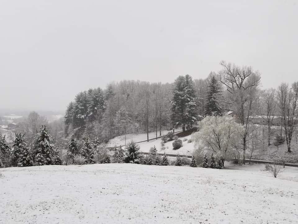
Light snow in Waynesville now. Snow on balsam. -

2023-2024 Fall/Winter Mountain Thread
Met1985 replied to The Alchemist's topic in Southeastern States
He's getting crushed. -

2023-2024 Fall/Winter Mountain Thread
Met1985 replied to The Alchemist's topic in Southeastern States
Flakes in Waynesville now. -

2023-2024 Fall/Winter Mountain Thread
Met1985 replied to The Alchemist's topic in Southeastern States
Clouds be rolling into Haywood. I think we see something tonight. Going to be a cold one. -
This is freaking hilarious!
-

2023-2024 Fall/Winter Mountain Thread
Met1985 replied to The Alchemist's topic in Southeastern States
Yeah days like today just let the water soak into the ground. -

2023-2024 Fall/Winter Mountain Thread
Met1985 replied to The Alchemist's topic in Southeastern States
-

December 2023 Mid/Long Term Pattern Discussion: Let it Snow!
Met1985 replied to John1122's topic in Tennessee Valley
Yeah no kidding. The wind is going to be crazy. Also they are calling for liws around 16 so I could only imagine the windchill.- 548 replies
-

December 2023 Mid/Long Term Pattern Discussion: Let it Snow!
Met1985 replied to John1122's topic in Tennessee Valley
Thank you- 548 replies
-

December 2023 Mid/Long Term Pattern Discussion: Let it Snow!
Met1985 replied to John1122's topic in Tennessee Valley
This looks a lot like the weeklies which is a good thing IMO. Thanks for sharing.- 548 replies
-
- 1
-

-

December 2023 Mid/Long Term Pattern Discussion: Let it Snow!
Met1985 replied to John1122's topic in Tennessee Valley
Which site do you use for this?- 548 replies
-
- 1
-

-

2023-2024 Fall/Winter Mountain Thread
Met1985 replied to The Alchemist's topic in Southeastern States
-

2023-2024 Fall/Winter Mountain Thread
Met1985 replied to The Alchemist's topic in Southeastern States
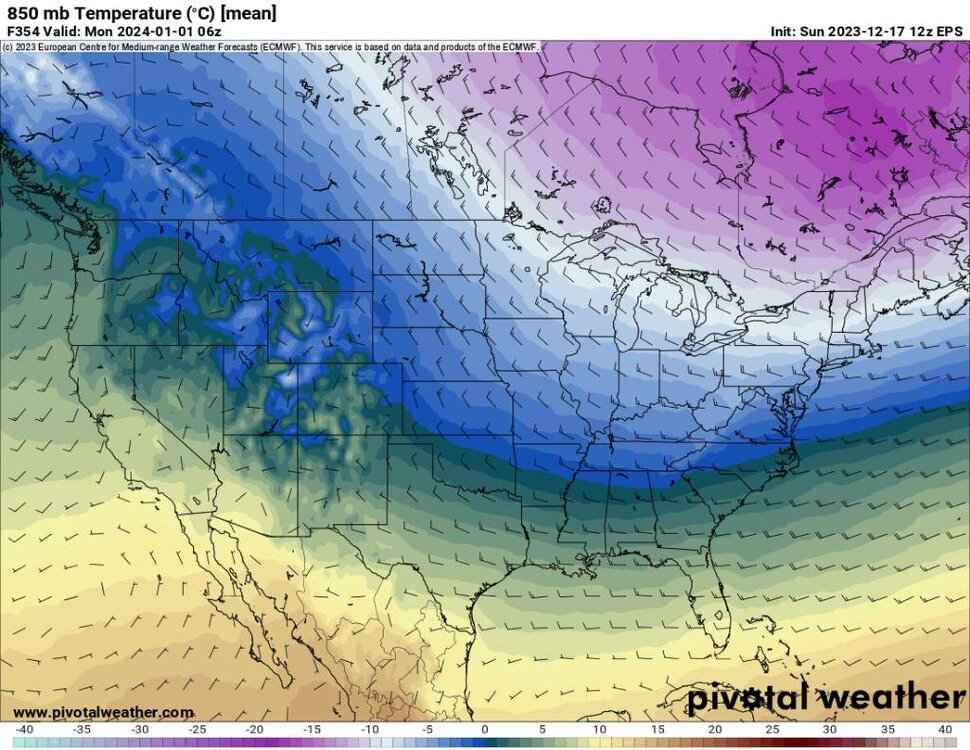
One thing that I've been keeping up with is that Europe has been in the dang freezer with brutal cold and blizzards galore. Moscow just got there most intense blizzard in 6 decades. -

2023-2024 Fall/Winter Mountain Thread
Met1985 replied to The Alchemist's topic in Southeastern States
Yeah was hoping for a super soaker this weekend but we got shafted. -

December 2023 Mid/Long Term Pattern Discussion: Let it Snow!
Met1985 replied to John1122's topic in Tennessee Valley
This has been exactly what I've been wondering. We're is the ridge out west? When are we going to torch city? I mean daytime highs in the 30s and 40s with nighttime lows in the teens and 20's isn't exactly torch city. I think it's just that. Storms rotating through under the Canadian ridge.- 548 replies
-
- 5
-

-

2023-2024 Fall/Winter Mountain Thread
Met1985 replied to The Alchemist's topic in Southeastern States
-

2023-2024 Fall/Winter Mountain Thread
Met1985 replied to The Alchemist's topic in Southeastern States
-

2023-2024 Fall/Winter Mountain Thread
Met1985 replied to The Alchemist's topic in Southeastern States
-

2023-2024 Fall/Winter Mountain Thread
Met1985 replied to The Alchemist's topic in Southeastern States
-

2023-2024 Fall/Winter Mountain Thread
Met1985 replied to The Alchemist's topic in Southeastern States
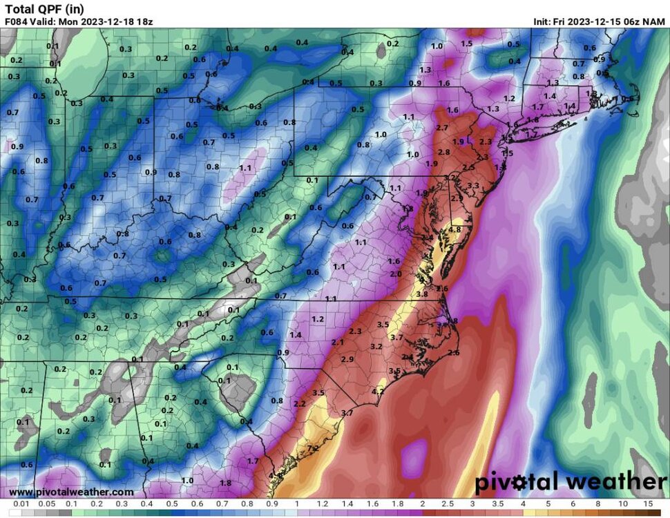
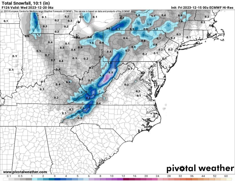
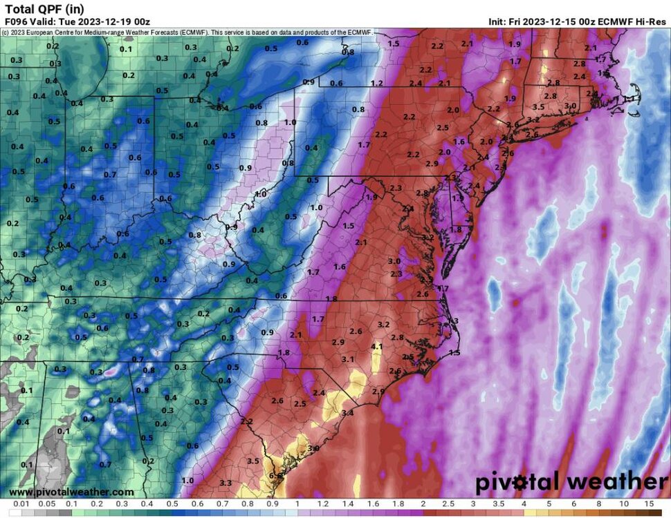
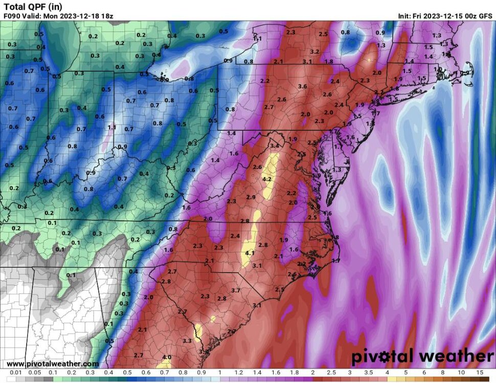
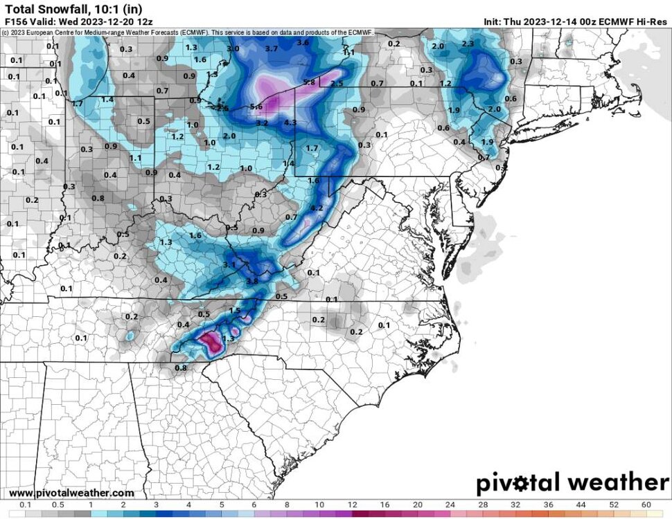
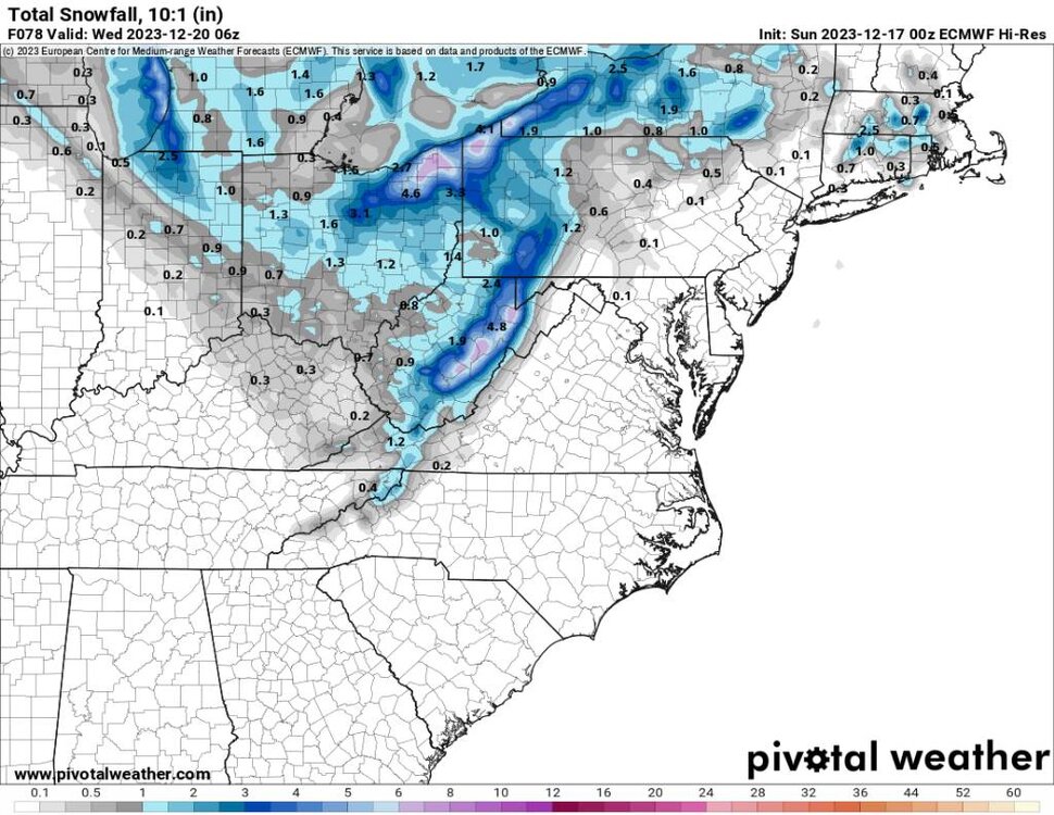
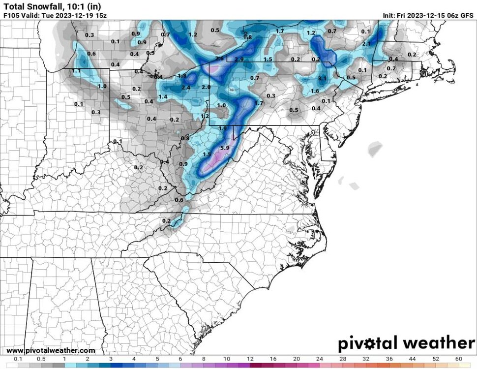
A little snow from the Euro but the further north and east this trends the more of a non event this will be. Sent from my SM-G998U using Tapatalk -

2023-2024 Fall/Winter Mountain Thread
Met1985 replied to The Alchemist's topic in Southeastern States
-

2023-2024 Fall/Winter Mountain Thread
Met1985 replied to The Alchemist's topic in Southeastern States
-
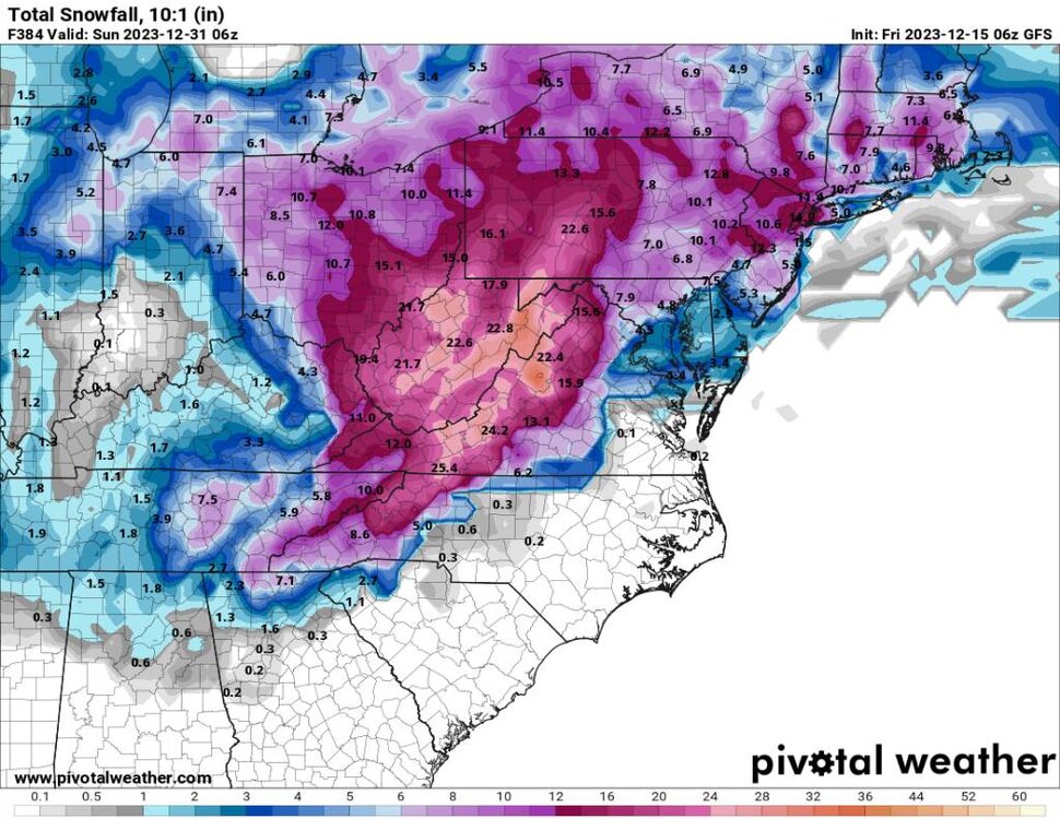
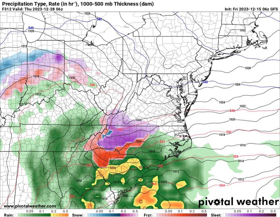
Don't look at the totals coming out of the mountains. I'm worried about flooding here then a paste job.
-

2023-2024 Fall/Winter Mountain Thread
Met1985 replied to The Alchemist's topic in Southeastern States
Yeah no kidding! Going from getting 3 plus inches of rainfall to 2 feet of heavy wet snow. Talk about a worst case scenario of sorts. -

2023-2024 Fall/Winter Mountain Thread
Met1985 replied to The Alchemist's topic in Southeastern States
00z euro says I've got your high elevation snow and a very strong vort that rolls in and brings flow snow.... Sent from my SM-G998U using Tapatalk


.thumb.jpg.417c5de01702fd7a09bd67ce2e6372c5.jpg)
.thumb.jpg.7a709cbbaac0d5eeae04b03d3f2a7a4b.jpg)

.thumb.jpg.57774bf1b023d006974d44b14c029270.jpg)
