Met1985
-
Posts
16,970 -
Joined
-
Last visited
Content Type
Profiles
Blogs
Forums
American Weather
Media Demo
Store
Gallery
Everything posted by Met1985
-
Larry excellent stuff man. Keep it coming. Love your posts and info big man.
-

2023-2024 Fall/Winter Mountain Thread
Met1985 replied to The Alchemist's topic in Southeastern States
Just got home from the snow adventures today. Current temp down to 7... -
2023-2024 Fall/Winter Mountain Thread
Met1985 replied to The Alchemist's topic in Southeastern States
Just a freaking stunning day number 2. Sent from my SM-G998U using Tapatalk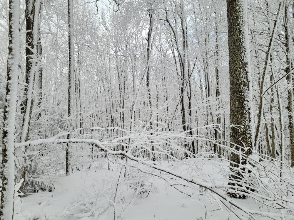

-
2023-2024 Fall/Winter Mountain Thread
Met1985 replied to The Alchemist's topic in Southeastern States
Max patch day 2! Sent from my SM-G998U using Tapatalk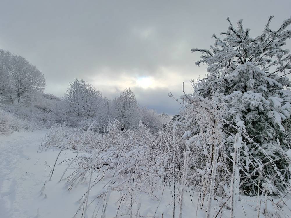
-
2023-2024 Fall/Winter Mountain Thread
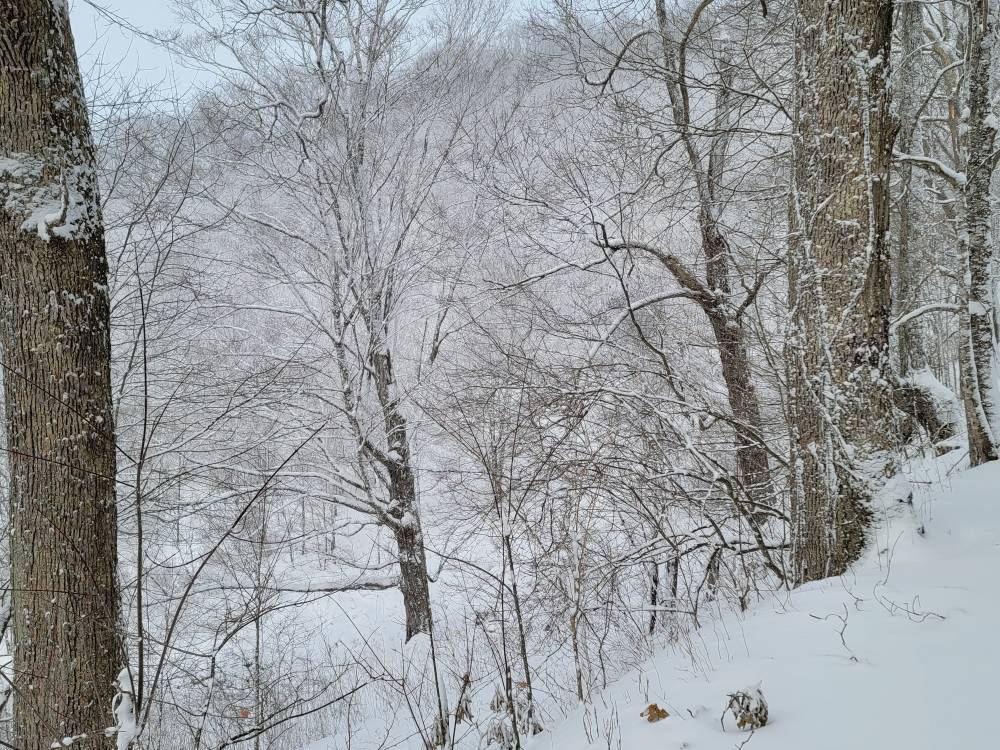
Met1985 replied to The Alchemist's topic in Southeastern States
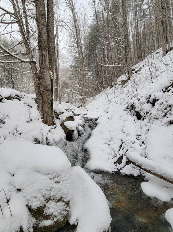
More pics from up the mountain. Sent from my SM-G998U using Tapatalk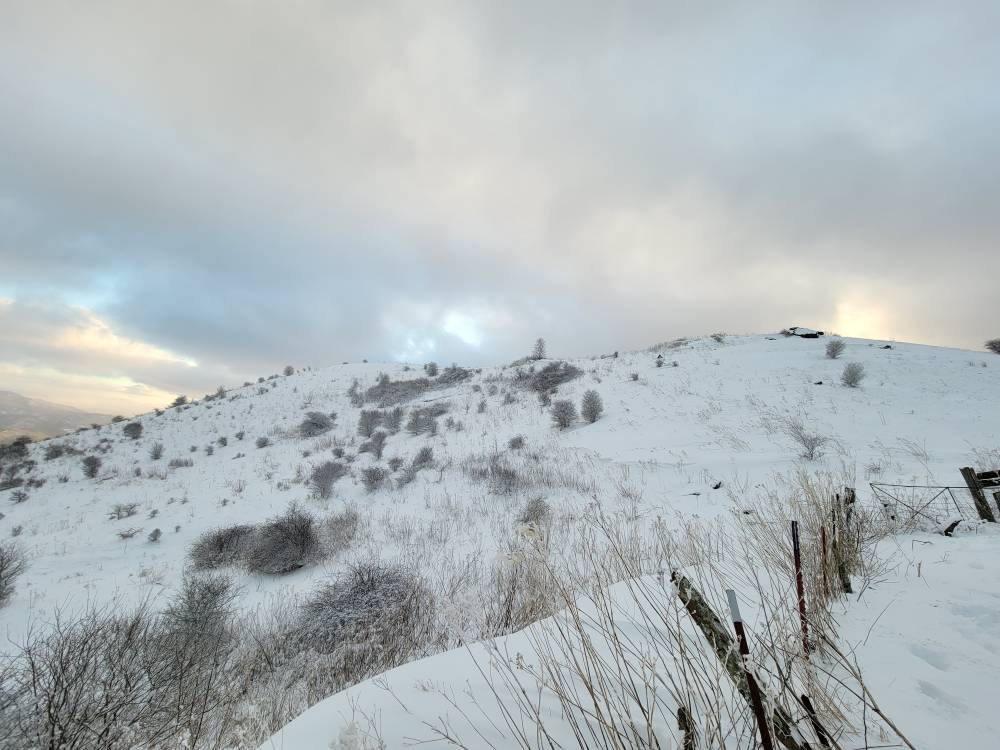
-
2023-2024 Fall/Winter Mountain Thread
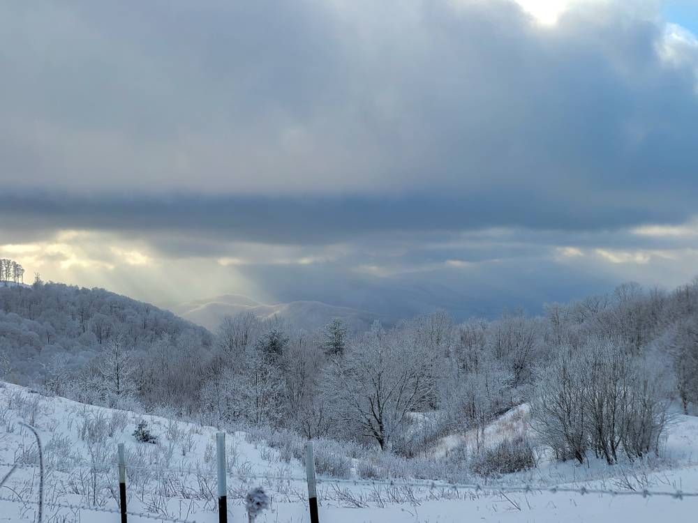
Met1985 replied to The Alchemist's topic in Southeastern States
Just a fantastic sunset on top of the mountain. Absolutely stunning. Sent from my SM-G998U using Tapatalk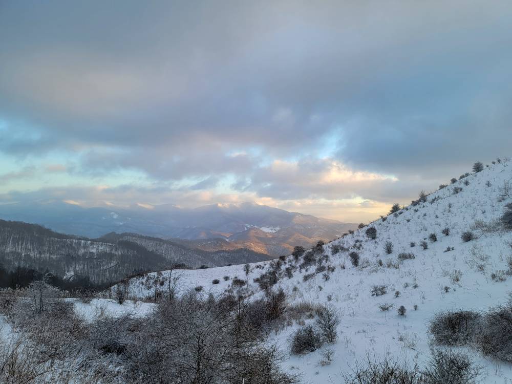
-
2023-2024 Fall/Winter Mountain Thread
Met1985 replied to The Alchemist's topic in Southeastern States
Yeah I read were you received like 30 inches in one weekend.. That is crazy. Always enjoyed your obs and pics. -
2023-2024 Fall/Winter Mountain Thread
Met1985 replied to The Alchemist's topic in Southeastern States
Glad you foothills folks got your feel. -
2023-2024 Fall/Winter Mountain Thread
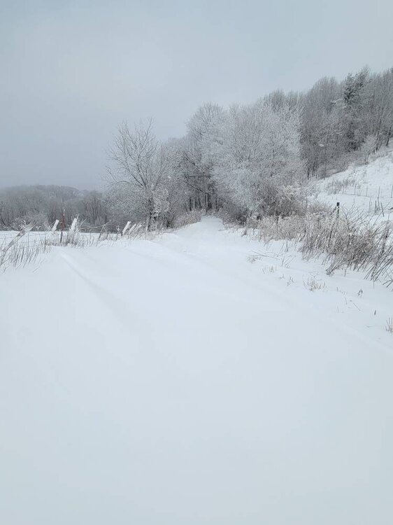
Met1985 replied to The Alchemist's topic in Southeastern States
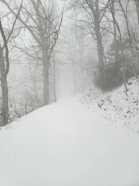
More pics. Just a fantastic morning. Sent from my SM-G998U using Tapatalk
-
2023-2024 Fall/Winter Mountain Thread
Met1985 replied to The Alchemist's topic in Southeastern States
Can you see the snow rainbow? Sent from my SM-G998U using Tapatalk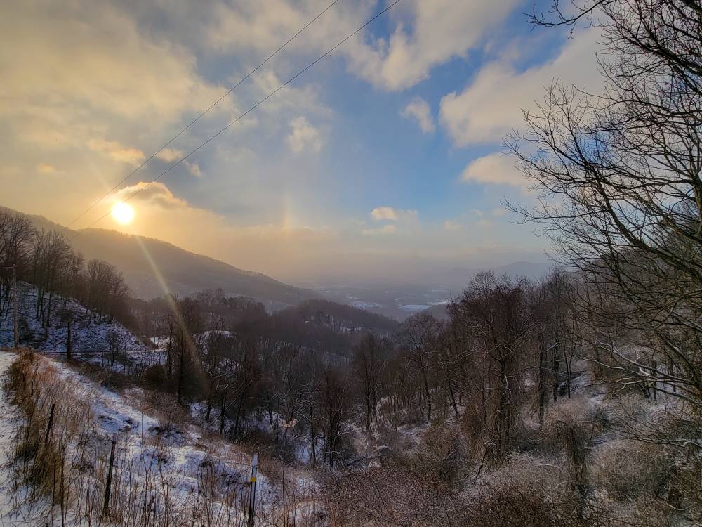
-
2023-2024 Fall/Winter Mountain Thread
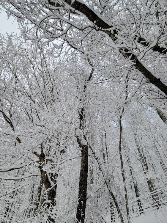
Met1985 replied to The Alchemist's topic in Southeastern States
This is one of my favorites from this morning. Sent from my SM-G998U using Tapatalk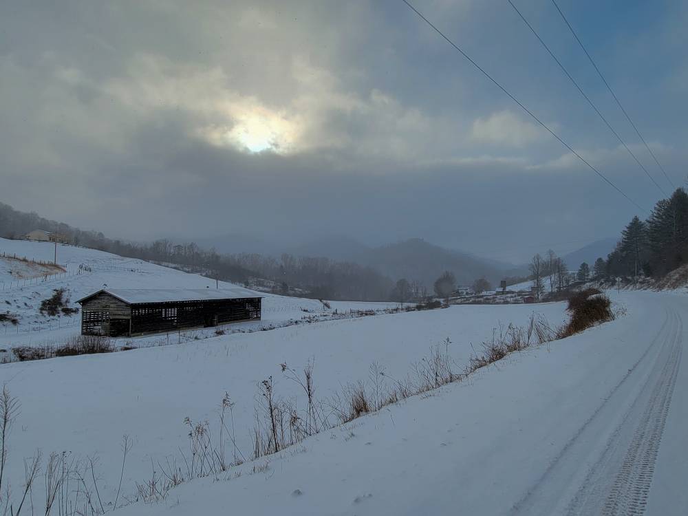
-
2023-2024 Fall/Winter Mountain Thread
Met1985 replied to The Alchemist's topic in Southeastern States
So many freaking good pictures. Sent from my SM-G998U using Tapatalk

-
2023-2024 Fall/Winter Mountain Thread
Met1985 replied to The Alchemist's topic in Southeastern States
Just literally breathing on it.... -
2023-2024 Fall/Winter Mountain Thread
Met1985 replied to The Alchemist's topic in Southeastern States
I believe it! Glad you made the trip up. This was a freaking awesome upslope event for several people. -
2023-2024 Fall/Winter Mountain Thread
Met1985 replied to The Alchemist's topic in Southeastern States
Probably not from compaction as this stuff is super fluffy but from the wind. -
2023-2024 Fall/Winter Mountain Thread
Met1985 replied to The Alchemist's topic in Southeastern States
Nice. You probably had more but with the wind it was dang near impossible to get an accurate measurement. -
2023-2024 Fall/Winter Mountain Thread
Met1985 replied to The Alchemist's topic in Southeastern States
That's a freaking great win for yall out that way. -
2023-2024 Fall/Winter Mountain Thread
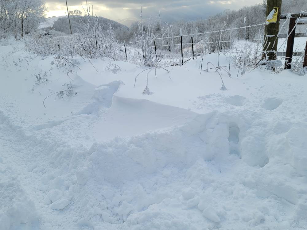
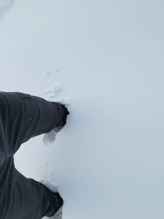
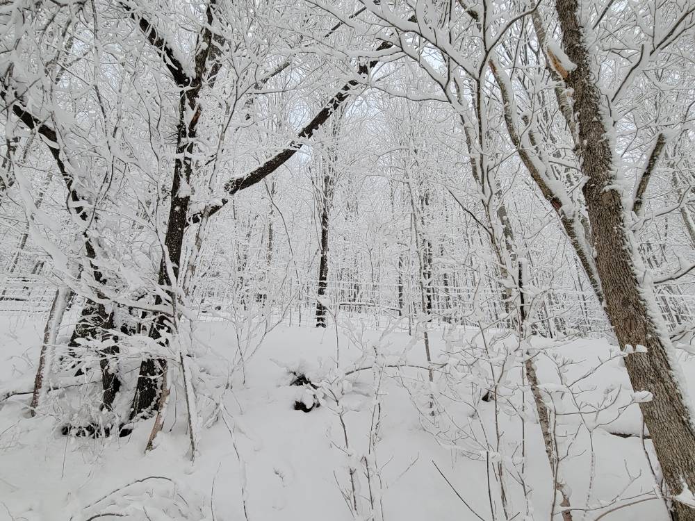
Met1985 replied to The Alchemist's topic in Southeastern States
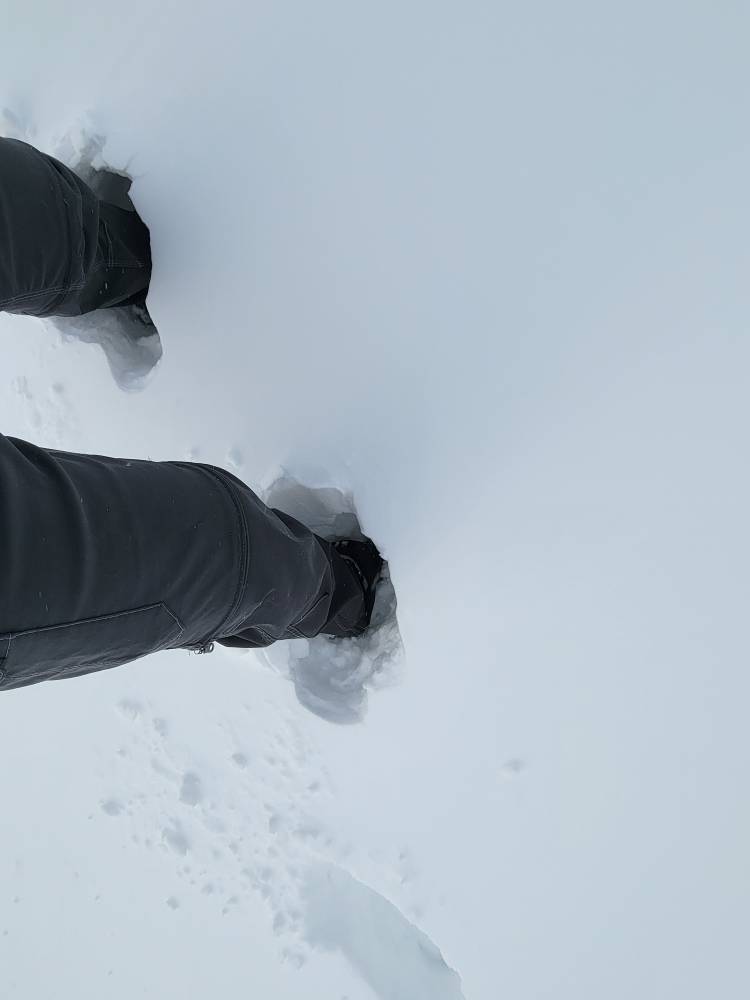
Ran into drifts this morning that we're up to my knees... Sent from my SM-G998U using Tapatalk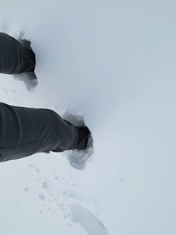
-
2023-2024 Fall/Winter Mountain Thread
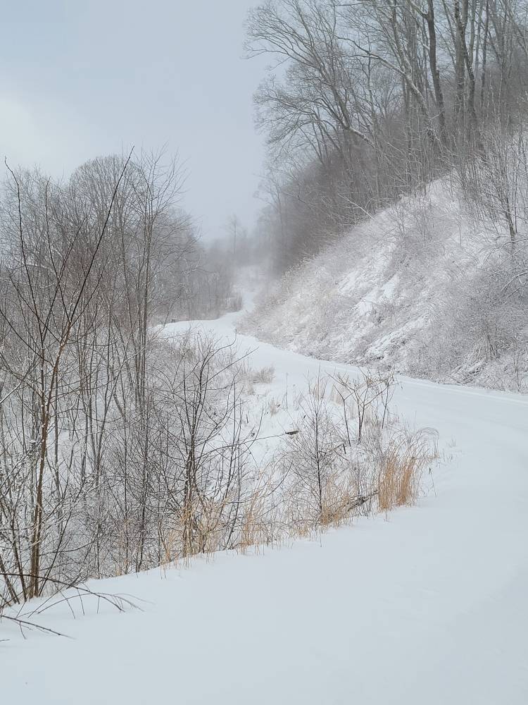
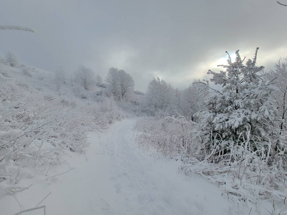
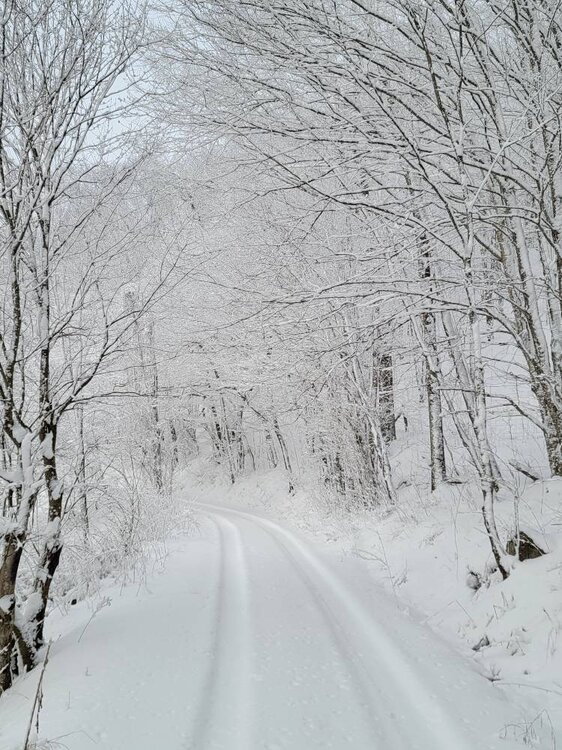
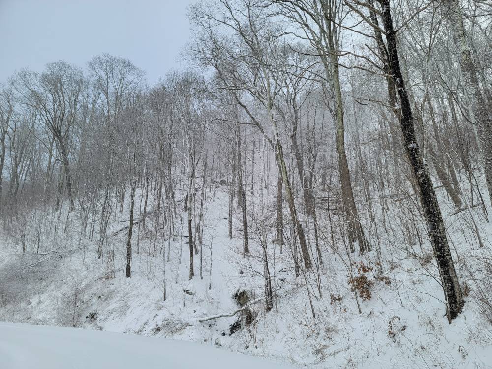
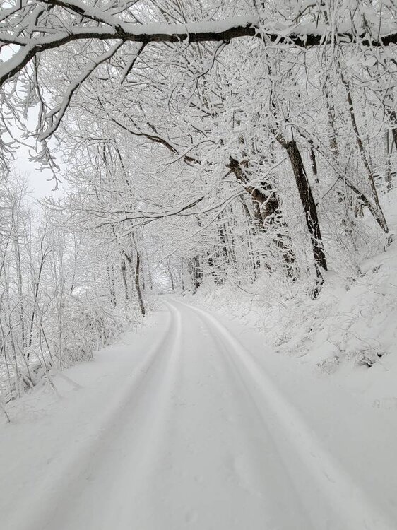
Met1985 replied to The Alchemist's topic in Southeastern States
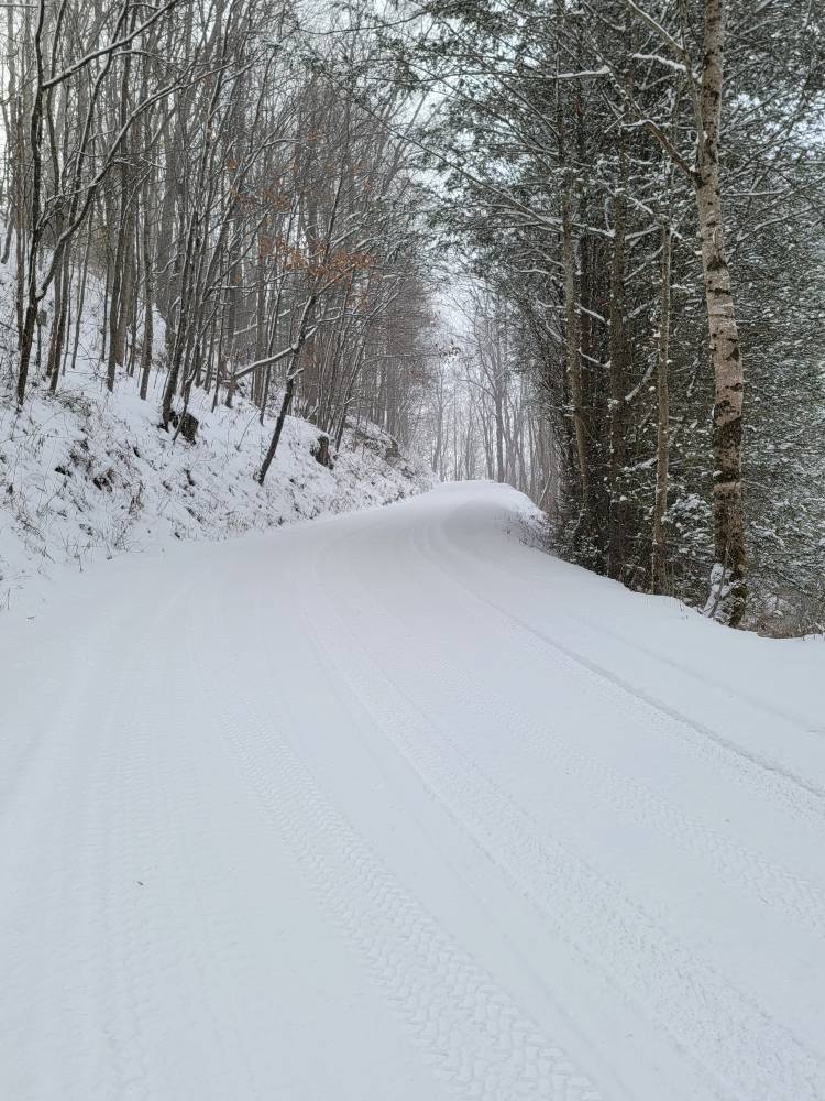
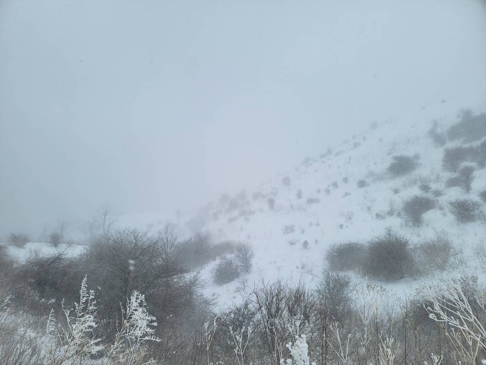
This mornings snow. Sent from my SM-G998U using Tapatalk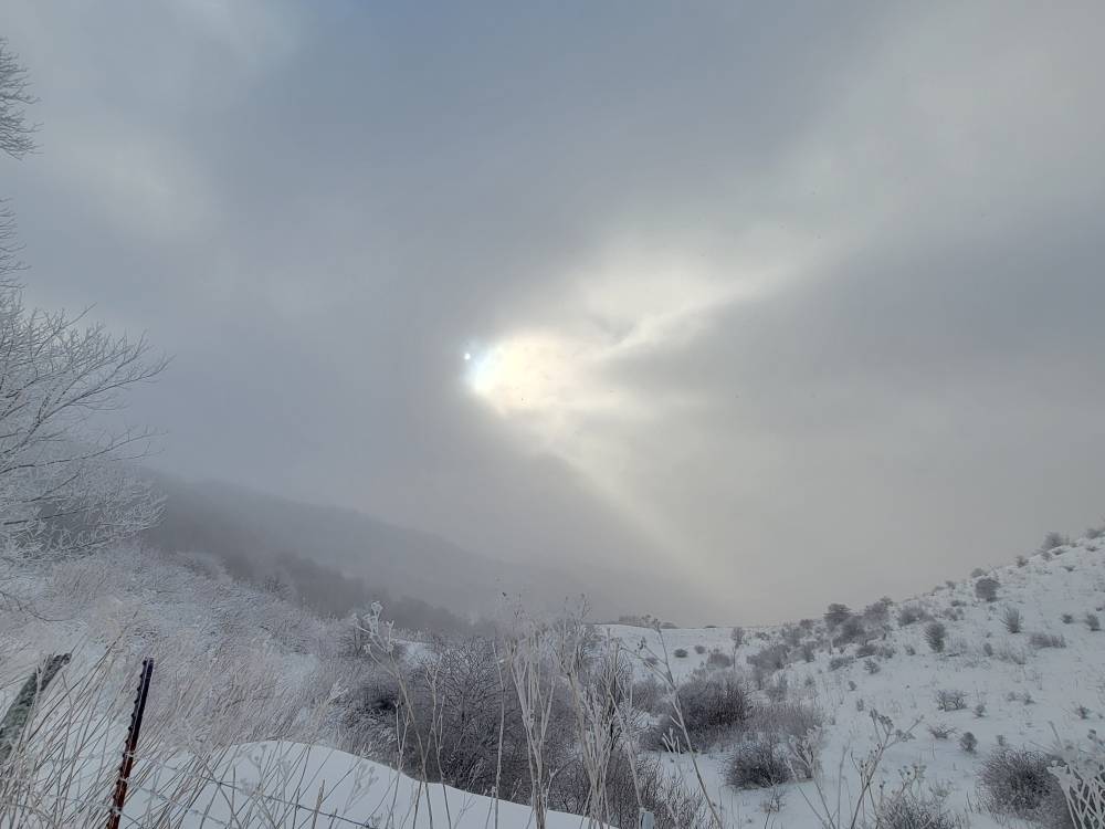

-
2023-2024 Fall/Winter Mountain Thread
Met1985 replied to The Alchemist's topic in Southeastern States
Yep it's still snowing..was snowing lightly at the house but it's moderate on the mountain over. Its negative 3 degrees at the pass I'm at currently and wind is blowing 20. -
2023-2024 Fall/Winter Mountain Thread
Met1985 replied to The Alchemist's topic in Southeastern States
Yeah this flow snow was freaking awesome! Got a lot of people involved. -
2023-2024 Fall/Winter Mountain Thread
Met1985 replied to The Alchemist's topic in Southeastern States
This snow moving through is stuff that is 20:1 ratios with temps running in the teens. Current temp for me is 9 degrees. -
2023-2024 Fall/Winter Mountain Thread
Met1985 replied to The Alchemist's topic in Southeastern States
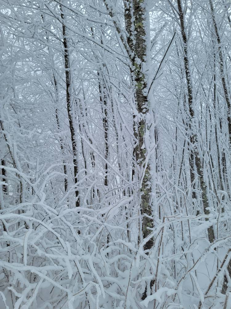
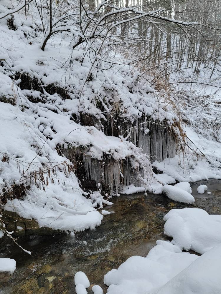
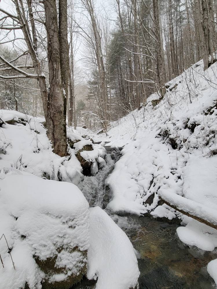
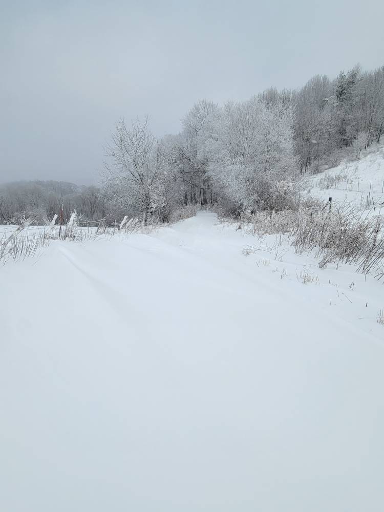
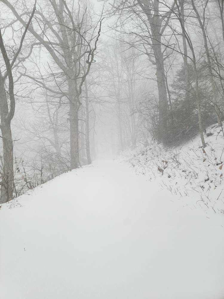
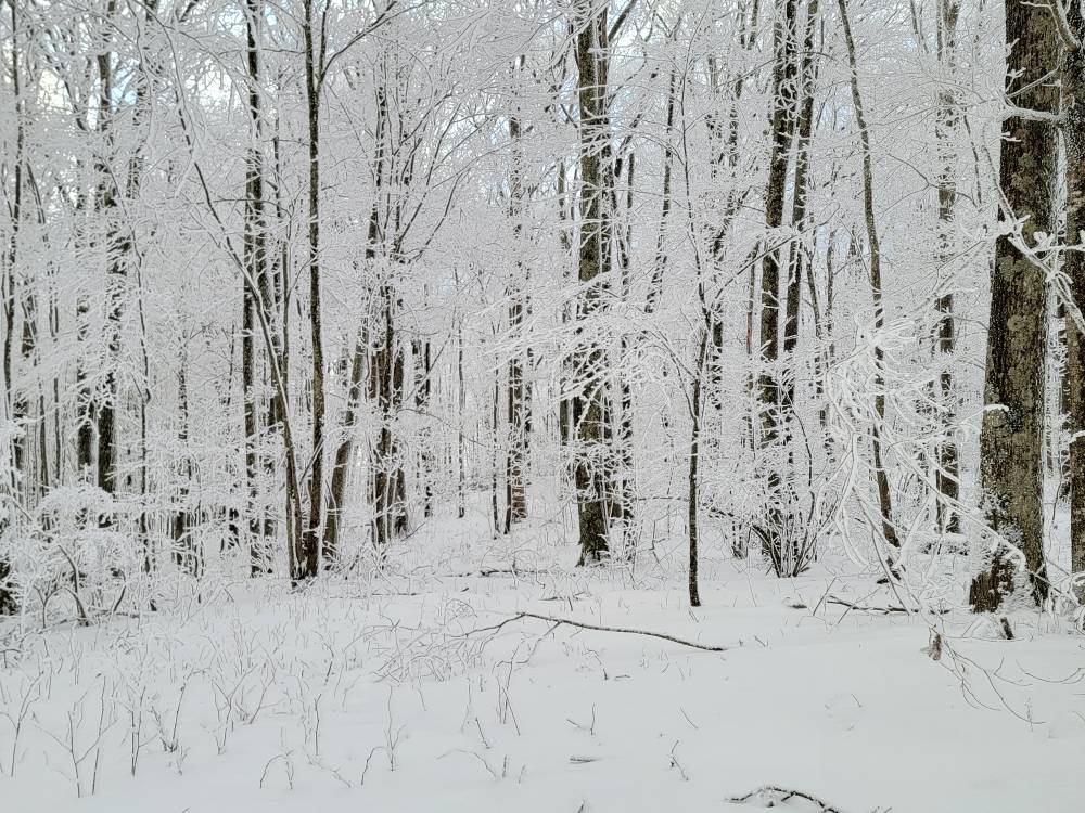
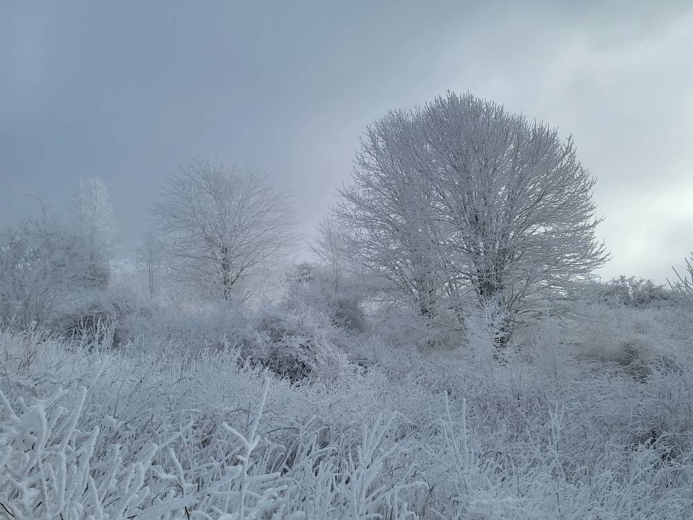
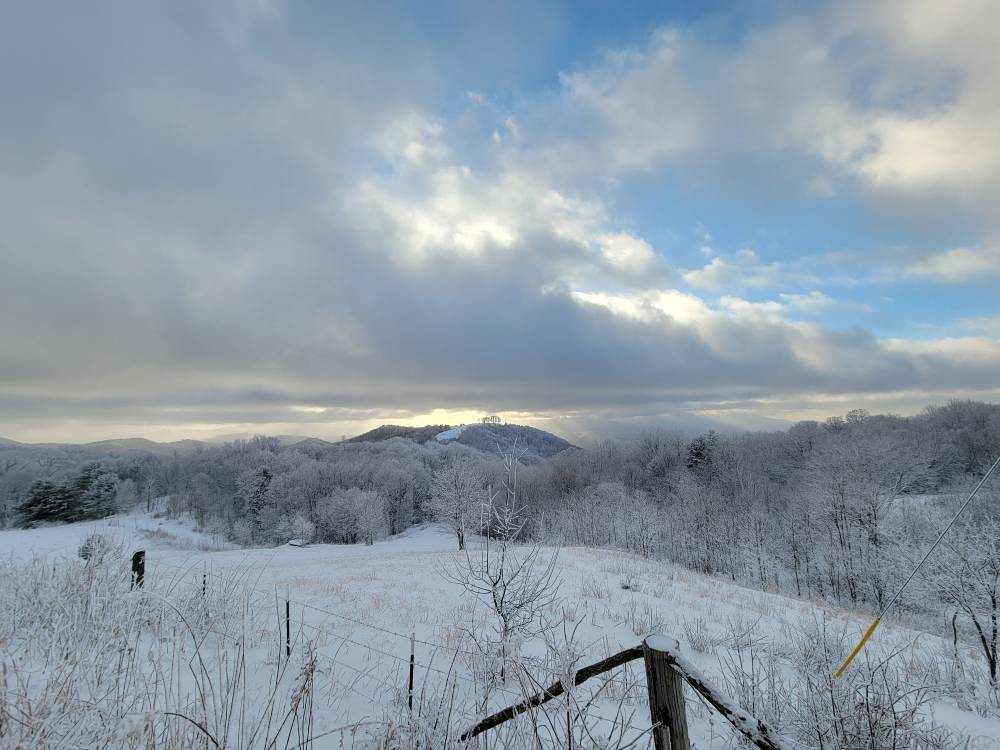
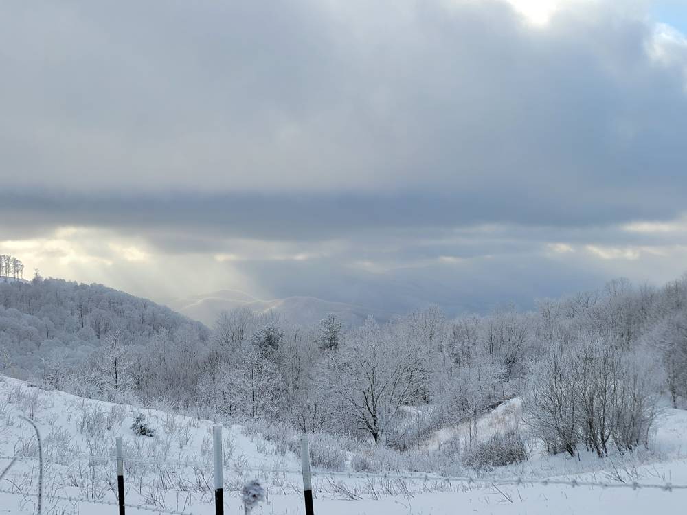
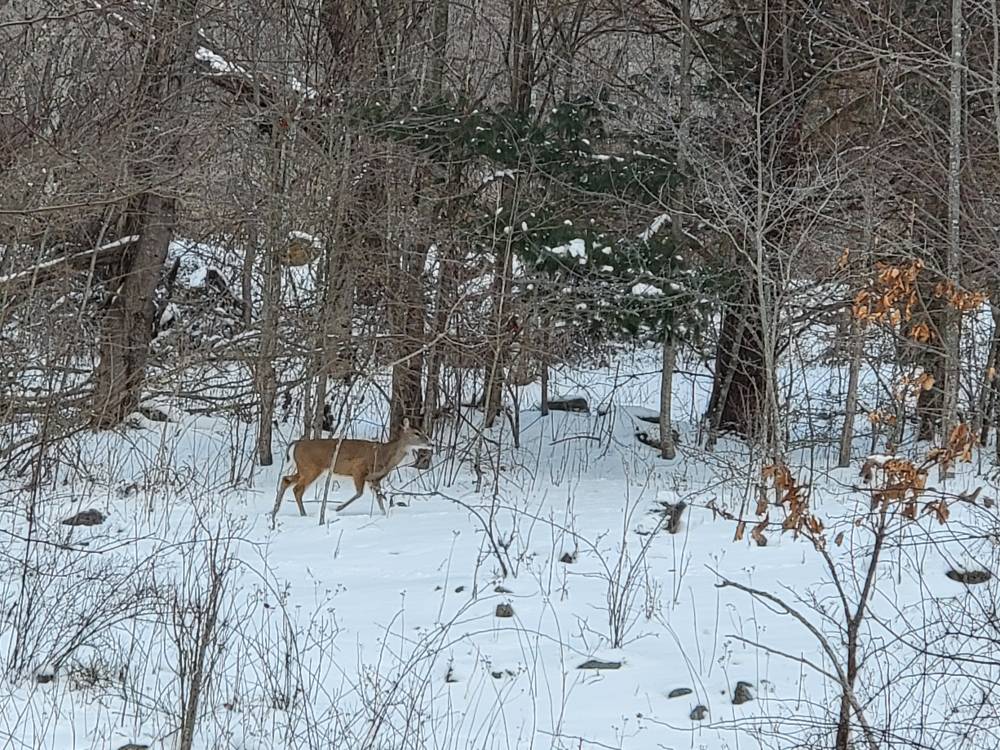
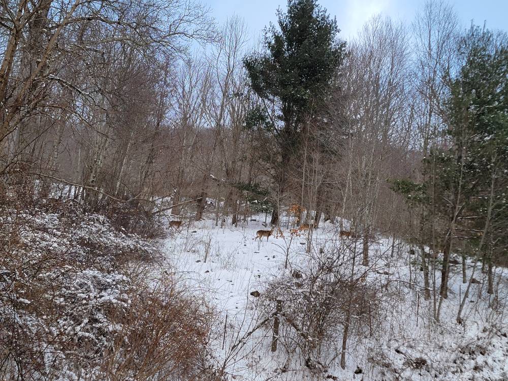
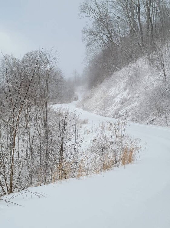
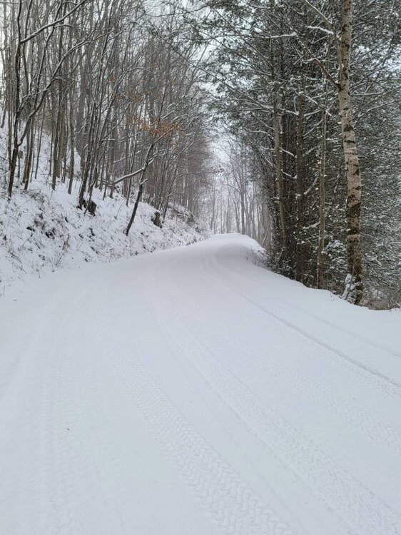
Some of my favorites today. Sent from my SM-G998U using Tapatalk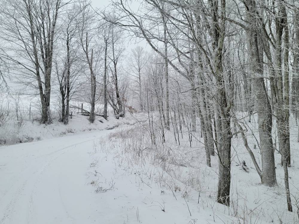
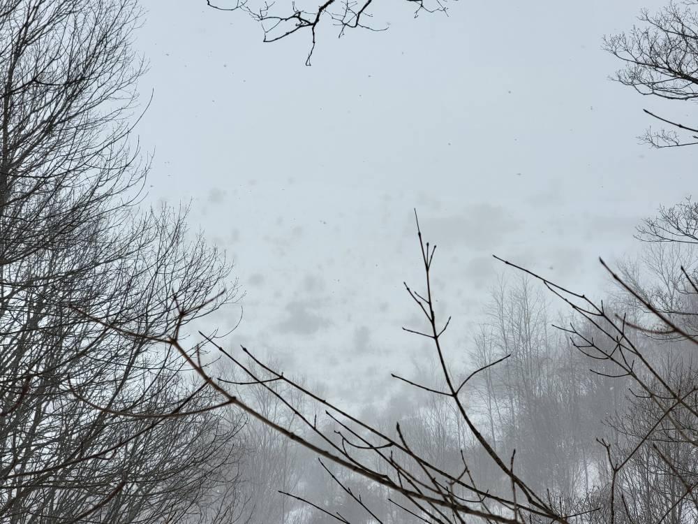
-
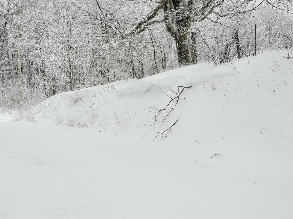
2023-2024 Fall/Winter Mountain Thread
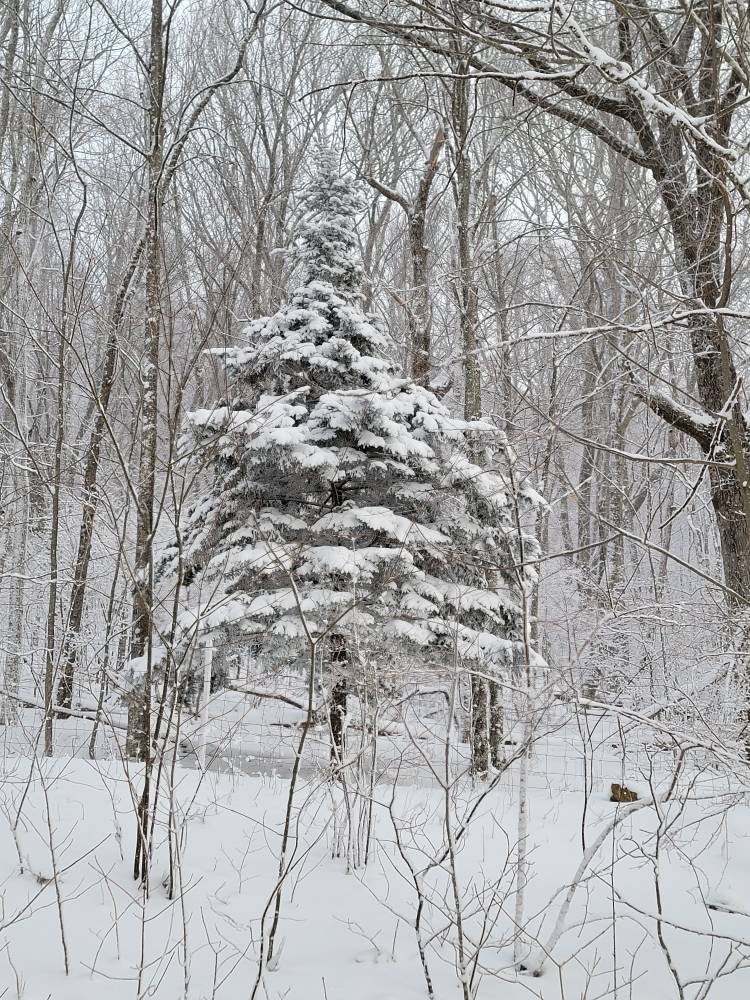
Met1985 replied to The Alchemist's topic in Southeastern States
Old man winter. Sent from my SM-G998U using Tapatalk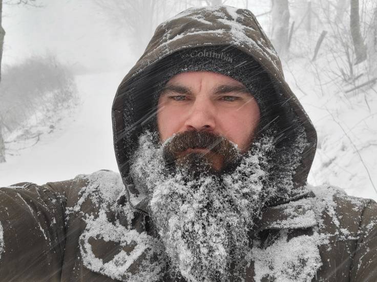
-
2023-2024 Fall/Winter Mountain Thread
Met1985 replied to The Alchemist's topic in Southeastern States
Yeah back to moderate to heavy snow. Pound town!